My Store
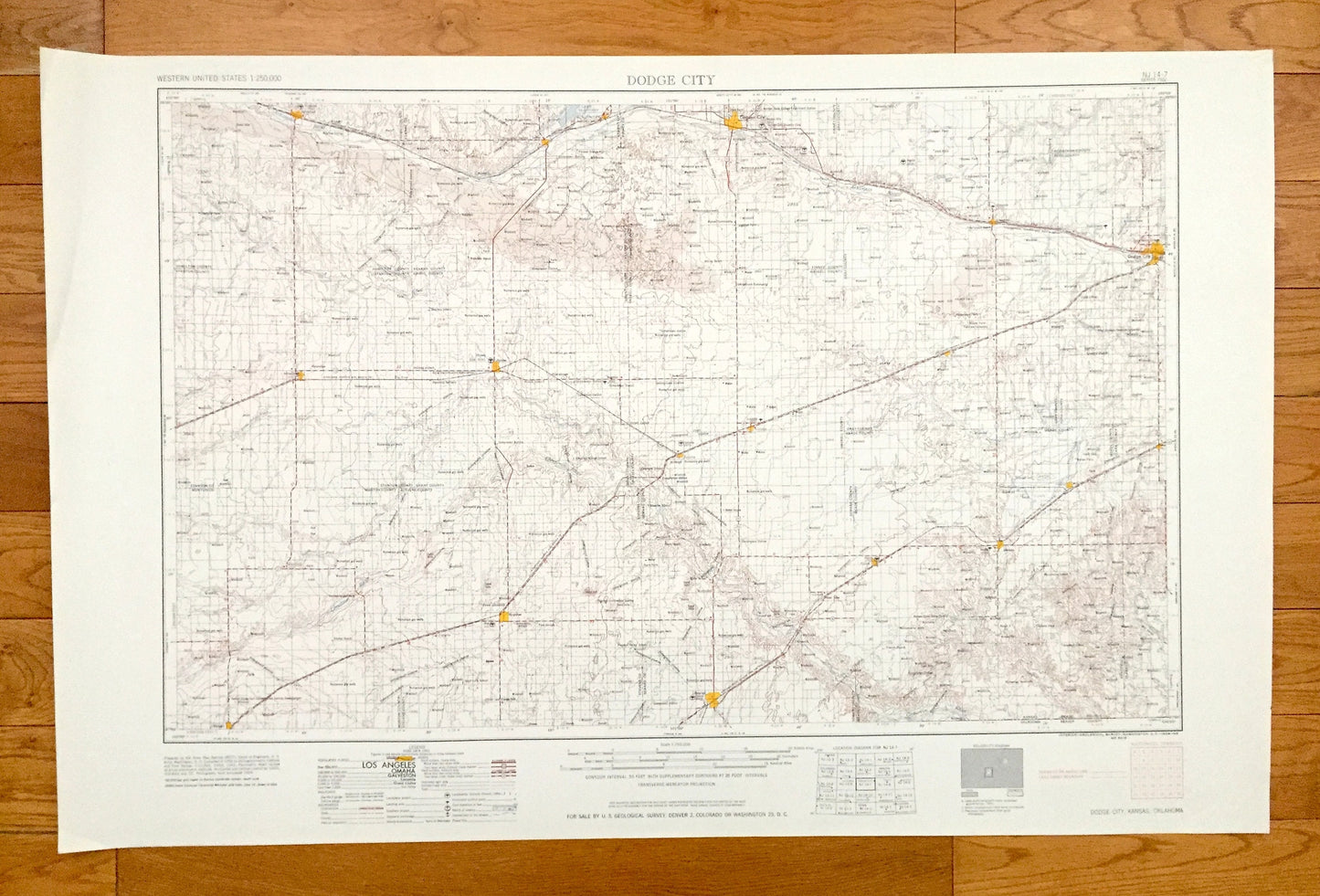
Antique Dodge City, Kansas 1959 US Geological Survey Topographic Map – Cimarron, Ulysses, Hugoton, Elkhart, Liberal, Plains, Meade, Fowler
Antique Dodge City, Kansas 1959 US Geological Survey Topographic Map – Cimarron, Ulysses, Hugoton, Elkhart, Liberal, Plains, Meade, Fowler
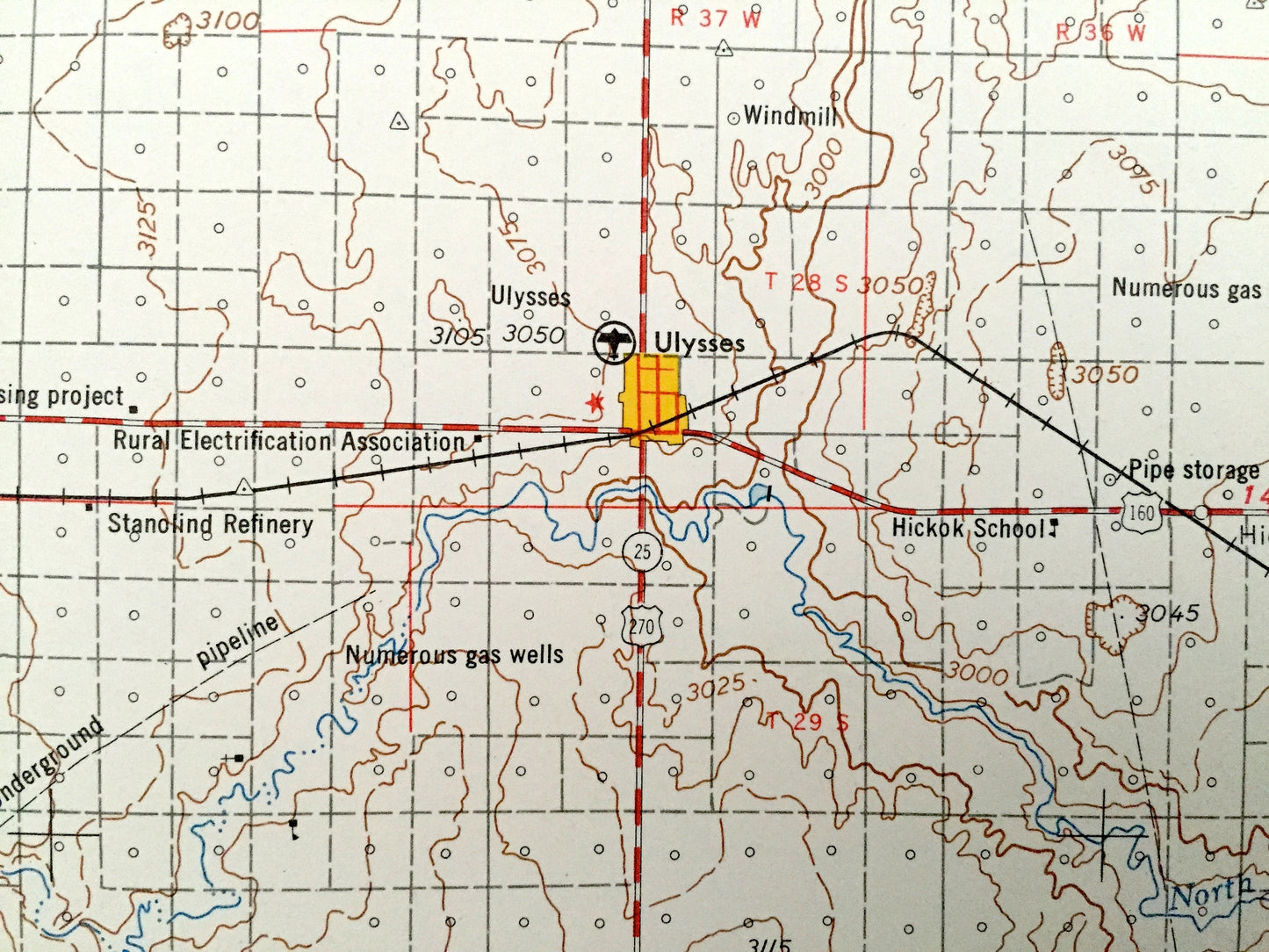
Beautiful, antique map of Dodge City, Kansas and surrounding Oklahoma areas. This is an authentic 1959 edition, 1959 print from the U.S. Geological Survey and NOT a computer reproduction.
See what Kansas and Oklahoma looked like over 60 years ago. Lots of intricate details and geological contours. Map is incredibly large and in the grand 1:250,000 scale. The USGS cartographers were very thorough back then!
Perfect for the historian, map-lover, the curious or just as a conversation starter. Wonderful and rare. Vintage maps such as these make great gifts.
Edition of 1959, printed 1959
Dimensions: 32" width x 22 1/2" height
----
Features
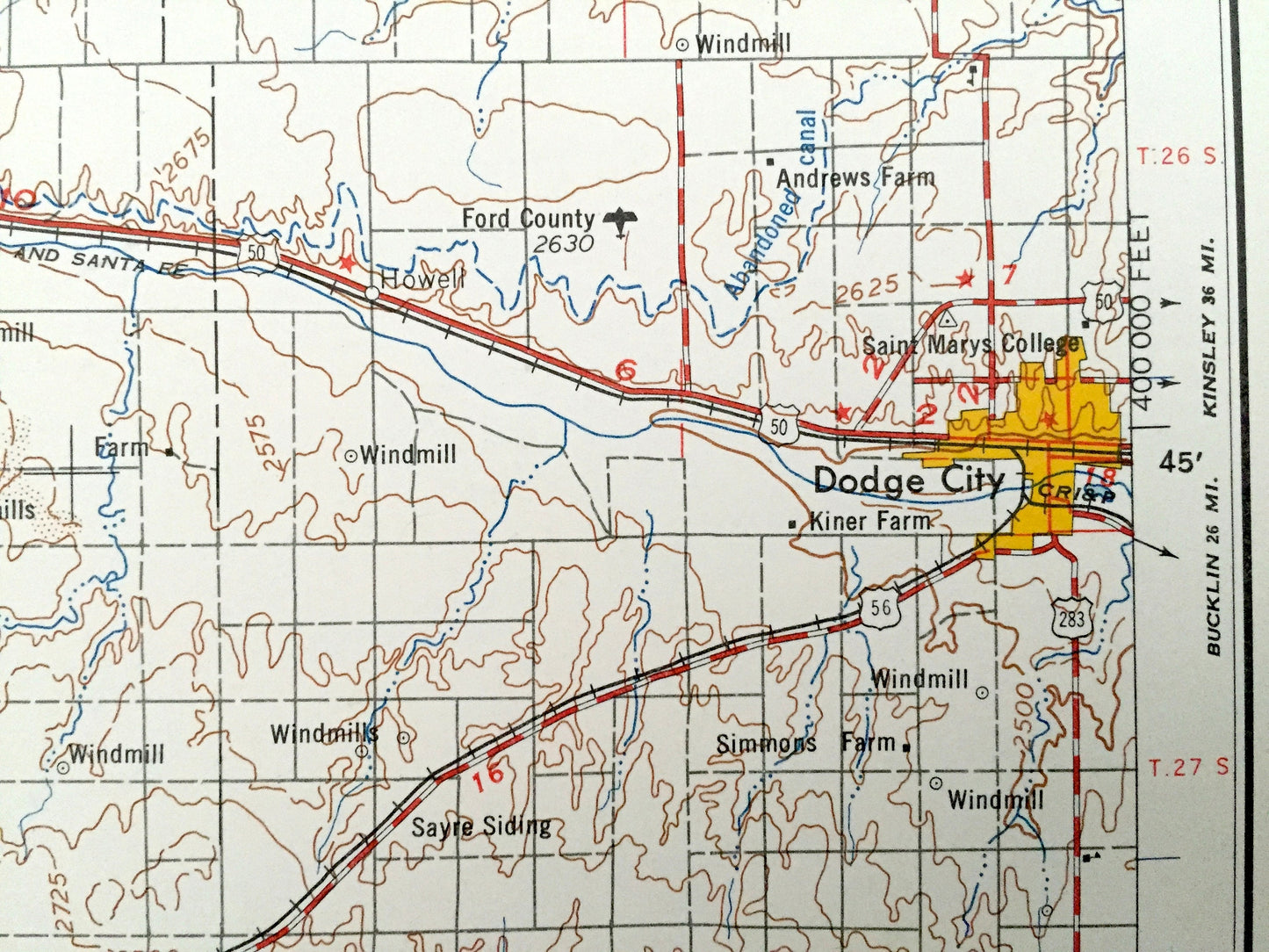
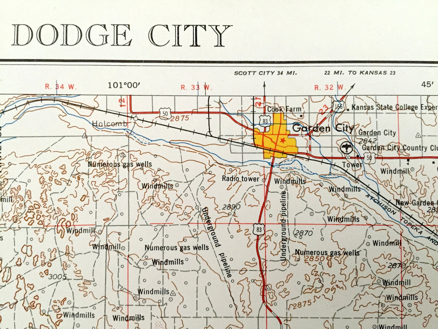
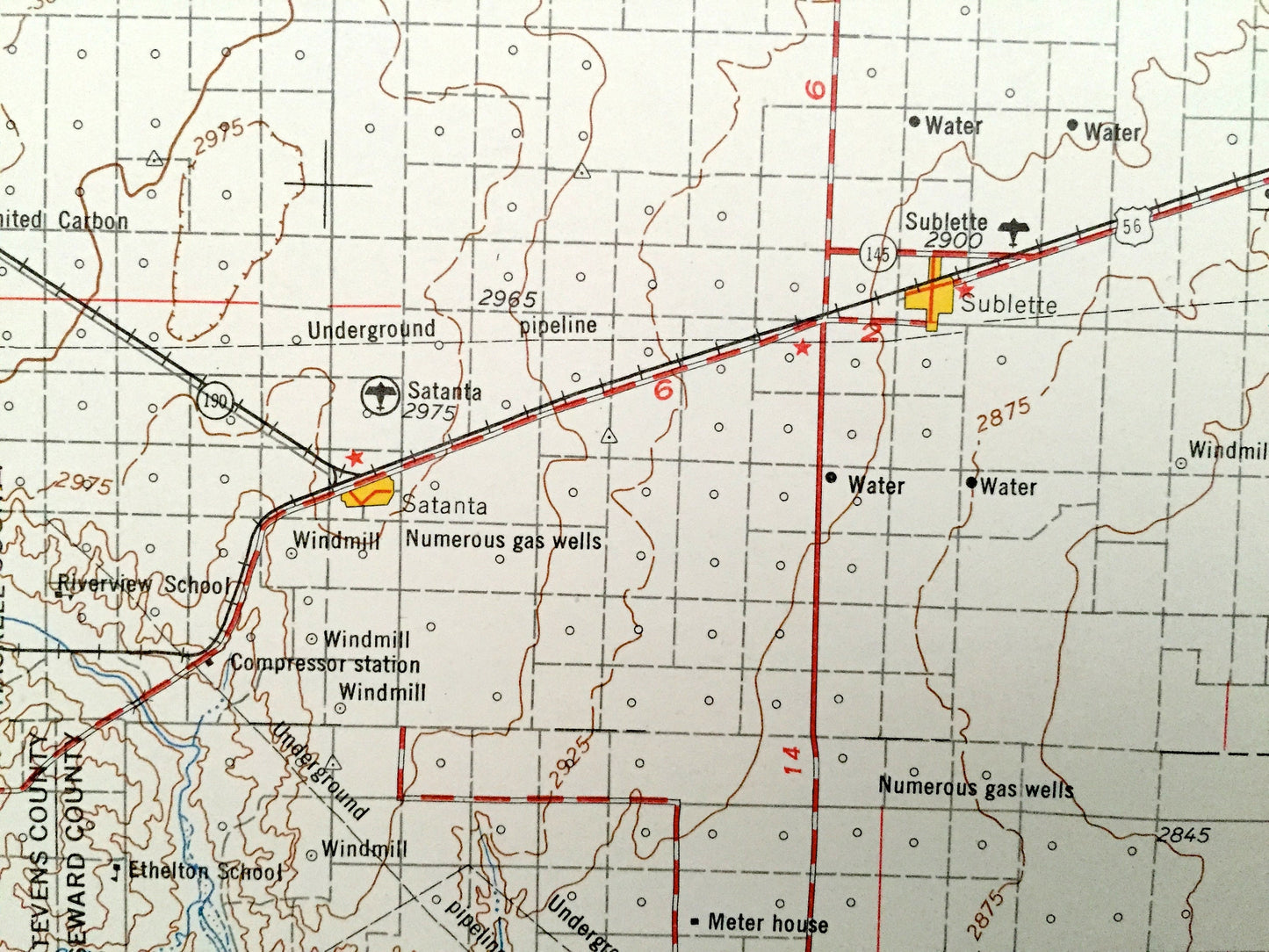
Cities & Towns: Dodge City, Garden City, Syracuse, Lakin, Deerfield, Satanta, Sublette, Montezuma, Minneola, Willburton, Vanceville, Howell, Cimarron, Ulysses, Hugoton, Elkhart, Liberal, Plains, Meade, Fowler.
Points of Interest: Arkansas River, Cimarron River, Lake McKinney, Crooked Creek, Big Sand and Beaver County, Oklahoma and lots more hills, mountains, lakes, rivers, creeks, roads, highways and railroads.
Condition: Very Good condition, commensurate with age. This map is in incredible shape for being over 60 years old. Has light edge-wear, all of which will read as vintage character when framed.
----
We will happily adjust shipping price for multiple purchases. Maps are rolled up and shipped in sturdy mailing tubes, never folded.
Couldn't load pickup availability
Share