My Store
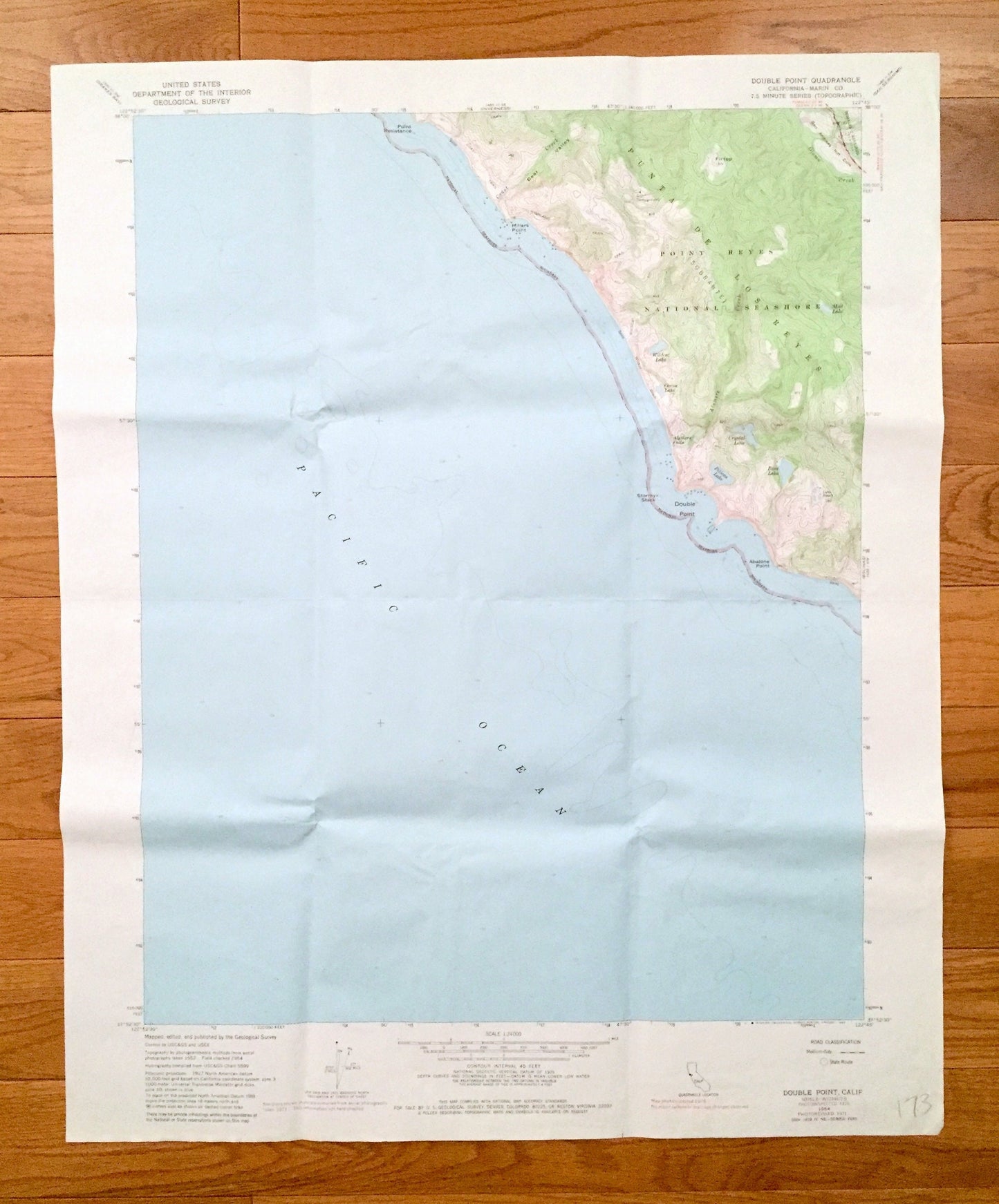
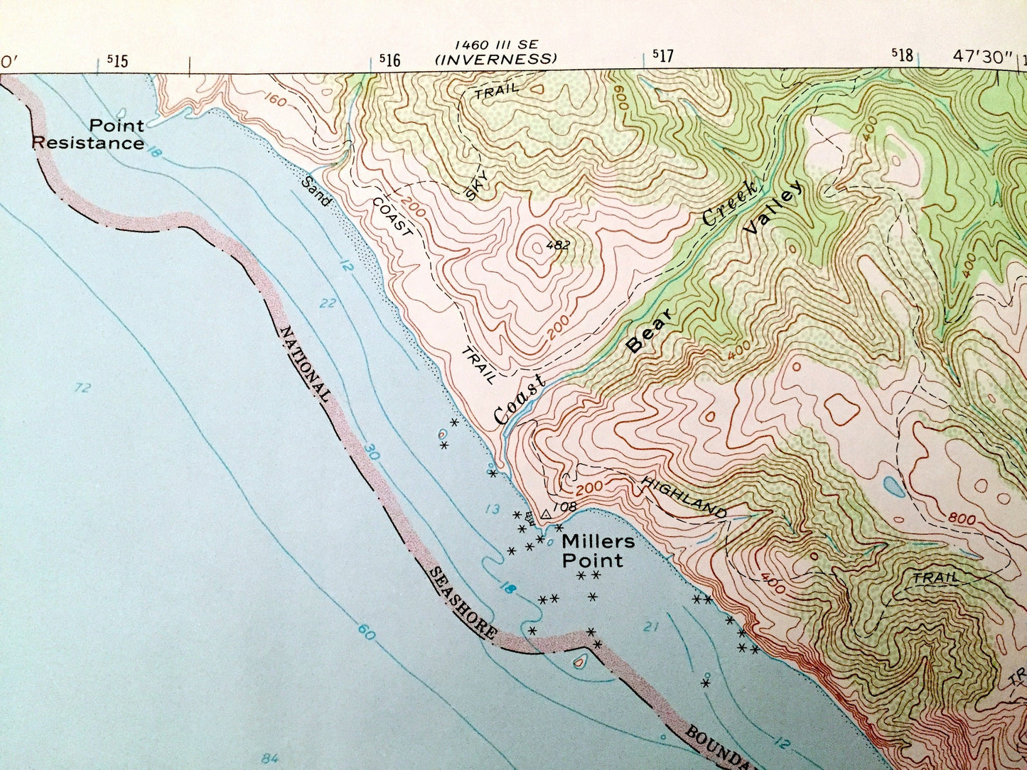
Antique Double Point, California 1954 US Geological Survey Topographic Map – Marin County, Point Reyes National Seashore, State Park, CA
Antique Double Point, California 1954 US Geological Survey Topographic Map – Marin County, Point Reyes National Seashore, State Park, CA
Beautiful, antique map of Double Point, California and surrounding Marin County area on the California Coast. This is an authentic 1954 edition, 1980 print from the U.S. Geological Survey and NOT a computer reproduction.
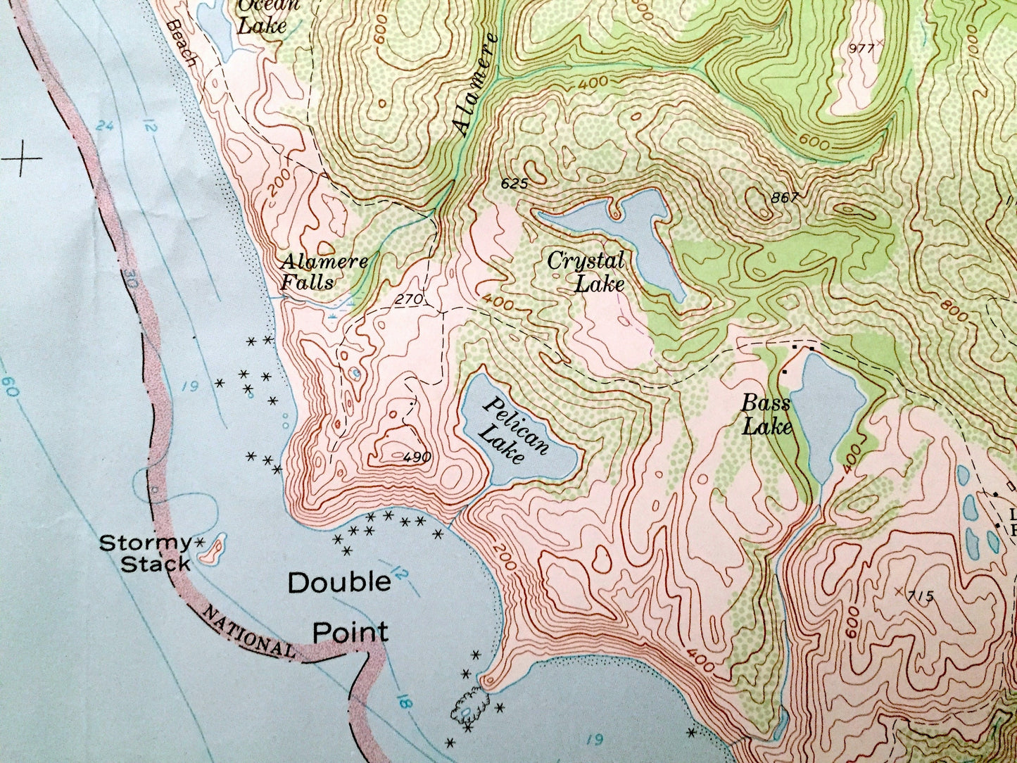
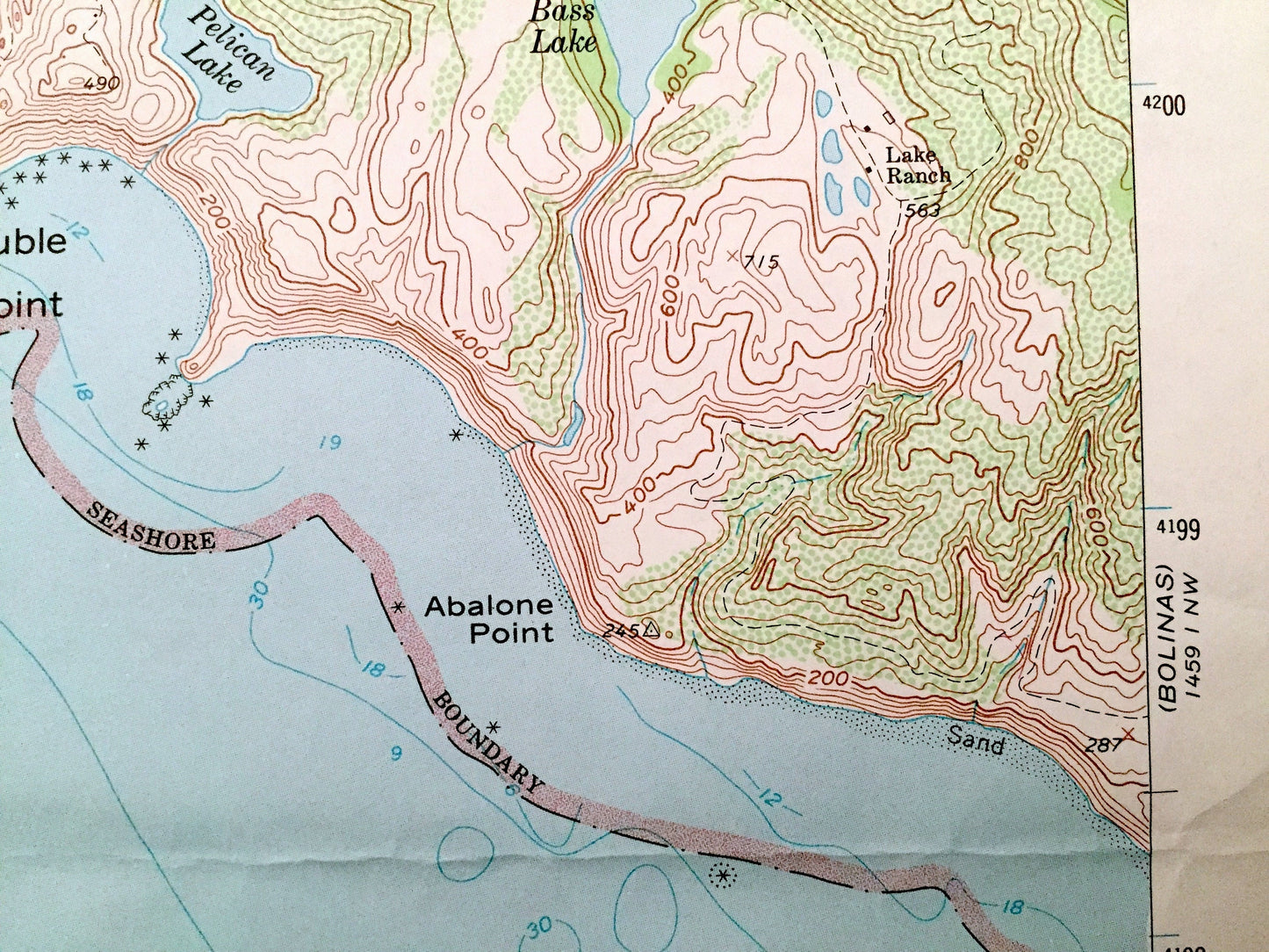
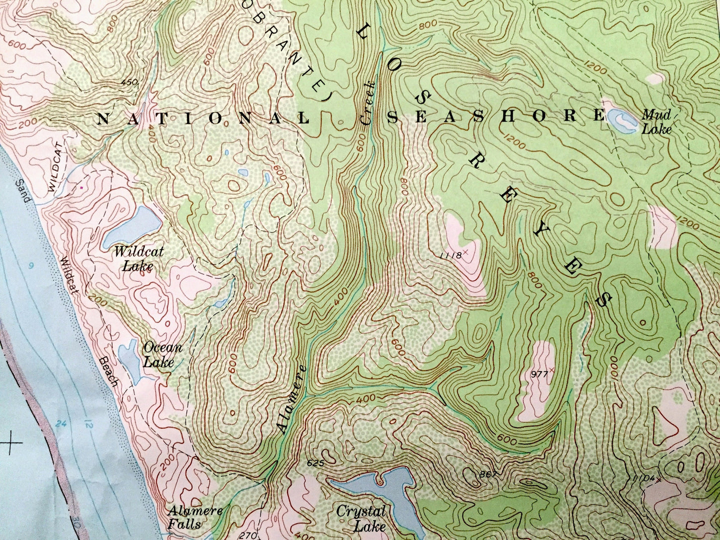
See what California looked like over 65 years ago. Lots of intricate details and geological contours. Map even has little squares for every house that existed at the time. The USGS cartographers were very thorough back then!
Perfect for the historian, map-lover, the curious or just as a conversation starter. Wonderful and rare. Vintage maps such as these make great gifts.
Edition of 1954, printed 1980
Dimensions: 22" width x 27" height
----
Features
Points of Interest: Marin County, Pacific Ocean, Double Point, Point Reyes National Seashore, Pelican Lake, Bass Lake, Crystal Lake, Millers Point, Abalone Point, Point Resistance, Coast Creek, Bear Valley, Wildcat Lake, Stormy Stack and many more roads, houses, ponds, and hills.
Condition: Very Good Vintage condition, commensurate with age. This map is in great shape for being 40 years old. Has light wear, pencil in margin and folds as-issued, but these will flatten easily and all will read as vintage character when framed.
----
We will happily adjust shipping price for multiple purchases. Maps are rolled up and shipped in sturdy mailing tubes, never folded.
Couldn't load pickup availability
Share