My Store
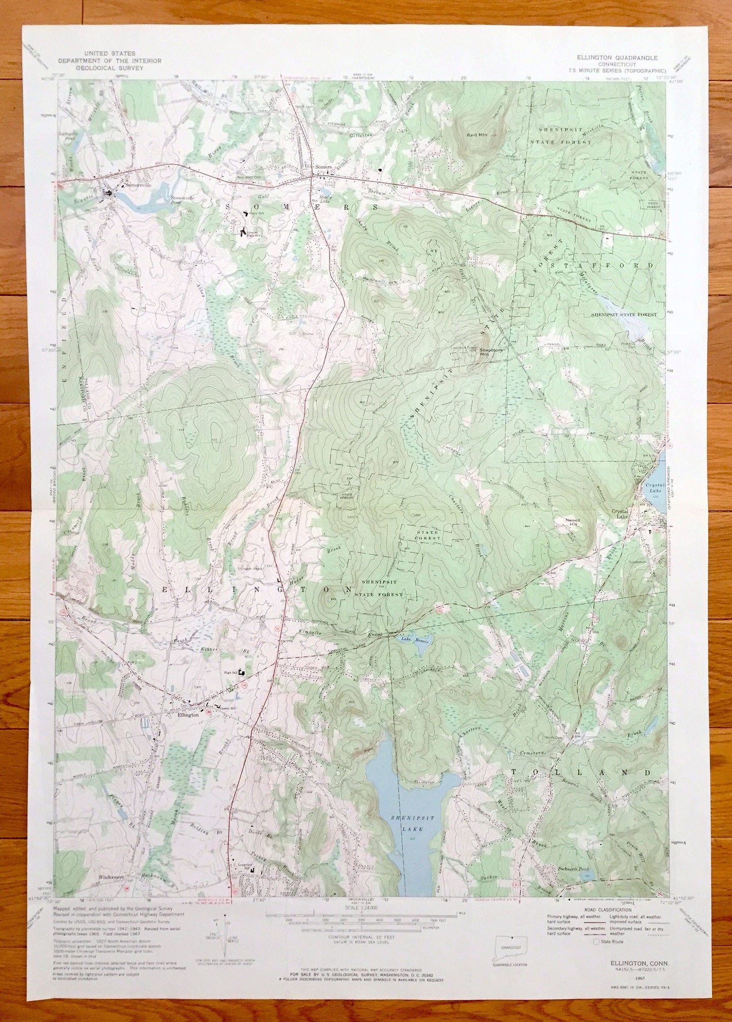
Antique Ellington, Connecticut 1967 US Geological Survey Topographic Map – Stafford, Somers, Tolland, Crystal Lake, Somersville, Enfield, CT
Antique Ellington, Connecticut 1967 US Geological Survey Topographic Map – Stafford, Somers, Tolland, Crystal Lake, Somersville, Enfield, CT
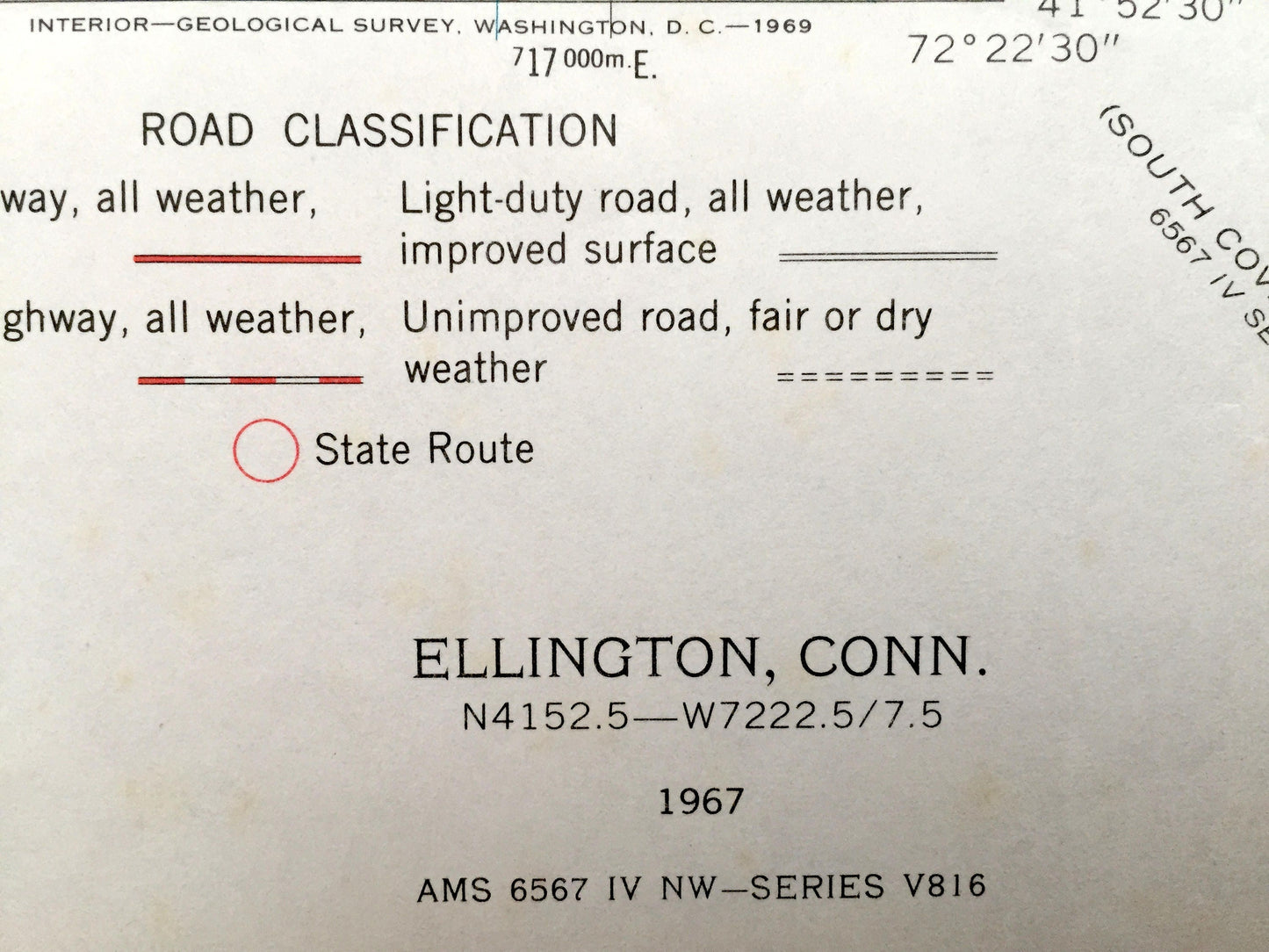
Beautiful, antique map of Ellington, Connecticut and surrounding Tolland County area. This is an authentic 1967 edition, 1969 print from the U.S. Geological Survey and NOT a computer reproduction.
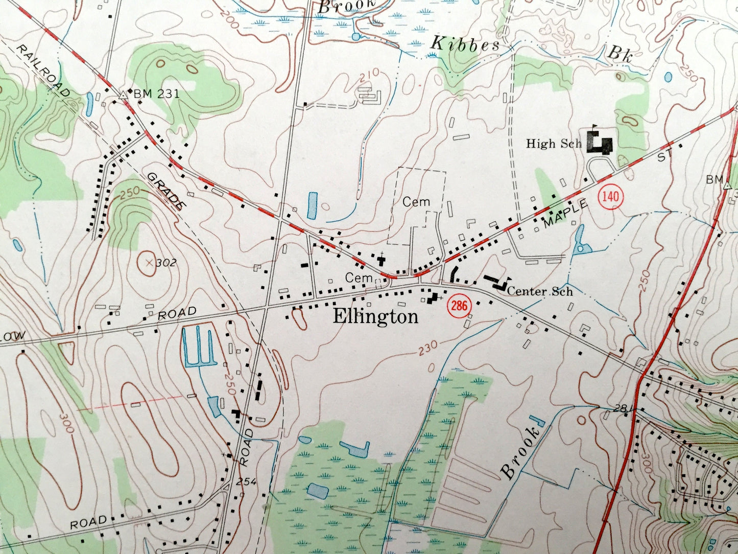
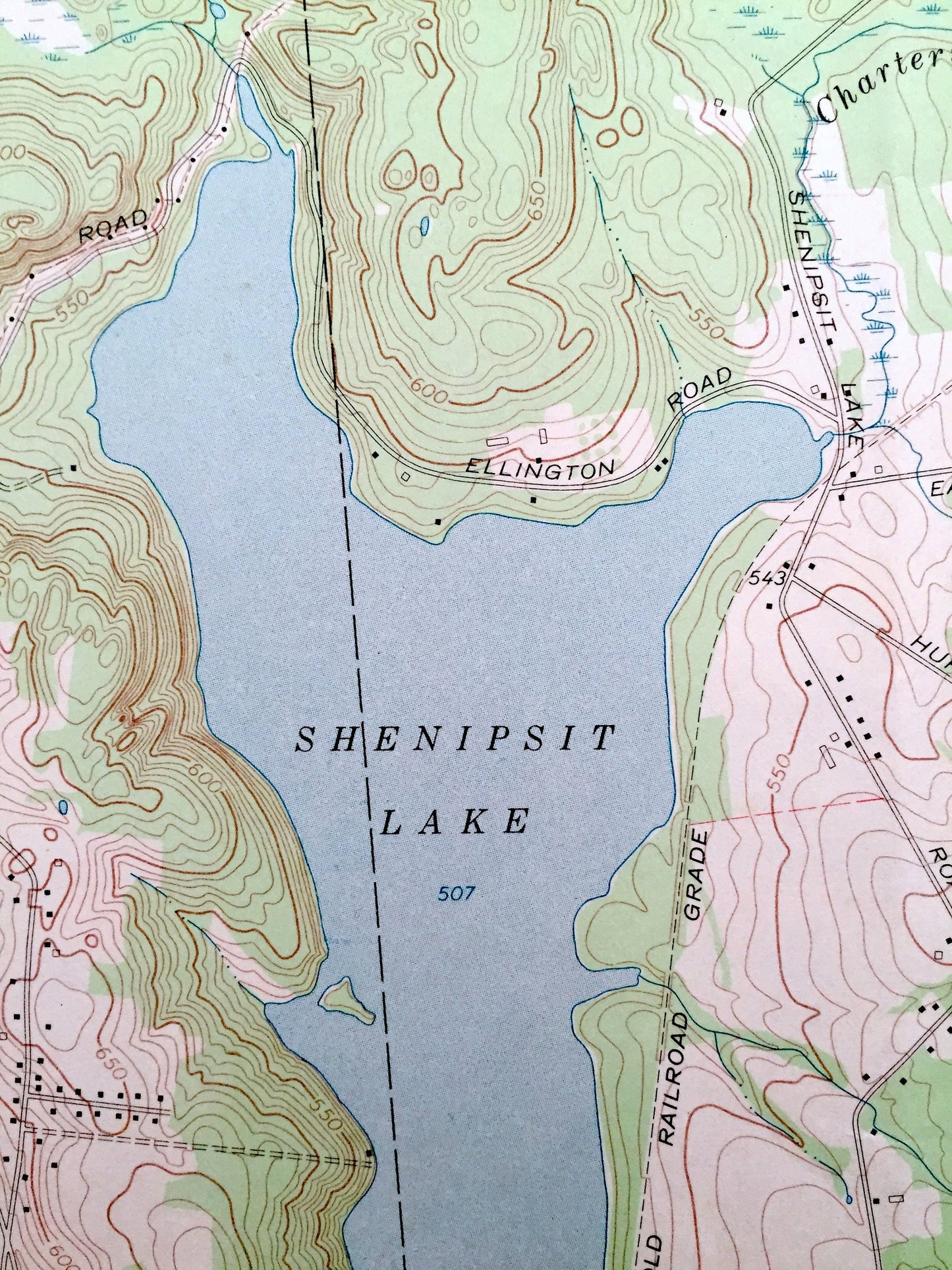
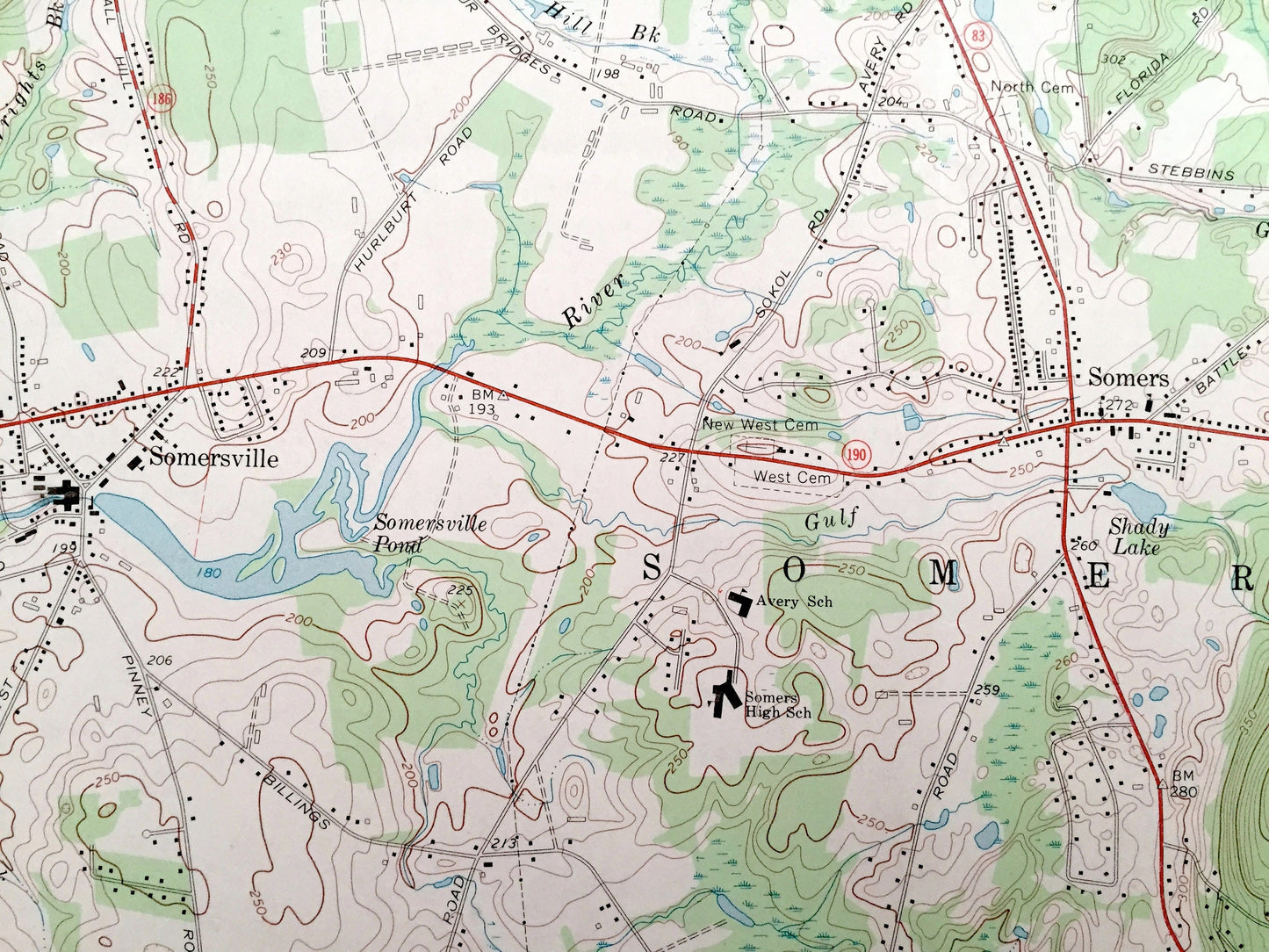
See what Ellington, Tolland, Somers and Stafford looked like over 50 years ago. Lots of intricate details and geological contours. Map even has little squares for every house that existed at the time. The USGS cartographers were very thorough back then!
Perfect for the historian, map-lover, the curious or just as a conversation starter. Wonderful and rare. Vintage maps such as these make great gifts.
Edition of 1967, printed 1969
Dimensions: 19" width x 27" height
----
Features
Cities & Towns: Ellington, Tolland, Somers, Crystal Lake, Somersville, Enfield.
Points of Interest: Bald Mountain, Crystal Lake, Tabs Hill School, Khasis Israel Synagogue, Windermere School, Swiss Apostolic Church, Lake Bonair, Shenipsit Lake, Camp Conner, Soapstone Mountain, New York New Haven and Hartford Railroad, and lots more hills, mountains, creeks, towns, schools, and roads.
Condition: Very Good Vintage condition, commensurate with age. This map is in incredible shape for being over 50 years old. Map is trimmed on side.
----
We will happily adjust shipping price for multiple purchases. Maps are rolled up and shipped in sturdy mailing tubes, never folded.
Couldn't load pickup availability
Share