My Store
Antique Englewood, Illinois 1963 US Geological Survey Topographic Map – Cook County, Chicago, Bedford Park, Cicero, Stickney, Marquette, IL
Antique Englewood, Illinois 1963 US Geological Survey Topographic Map – Cook County, Chicago, Bedford Park, Cicero, Stickney, Marquette, IL
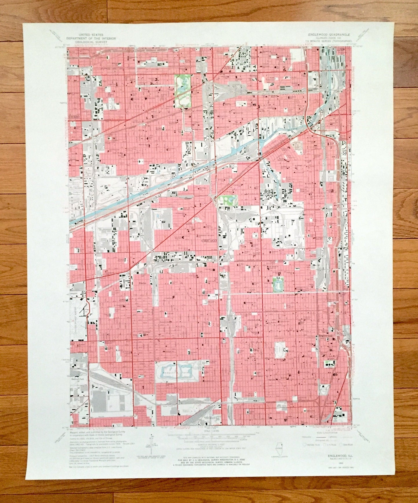
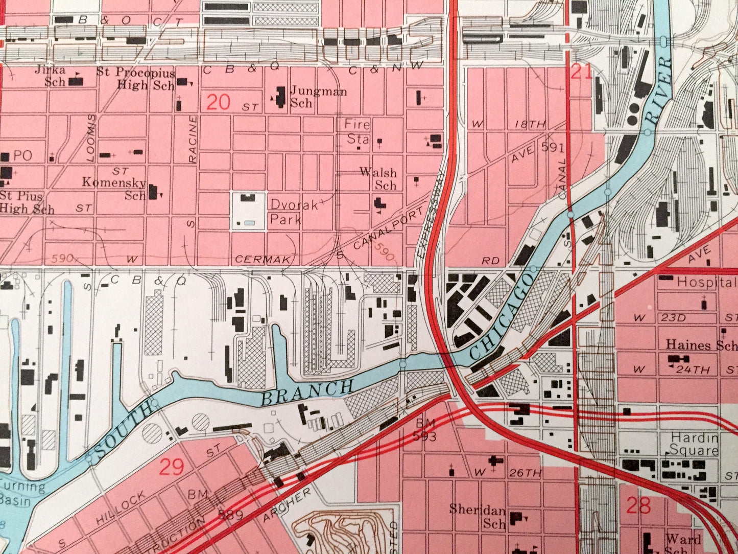
Beautiful, antique map of Englewood, Illinois and surrounding Cook County area. This is an authentic 1963 edition, 1965 print from the U.S. Geological Survey and NOT a computer reproduction.
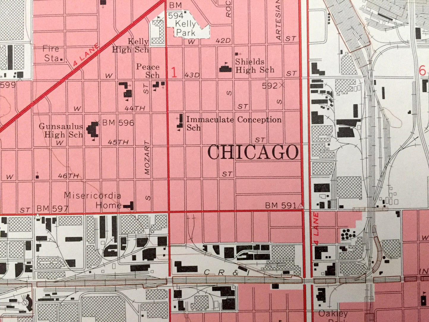
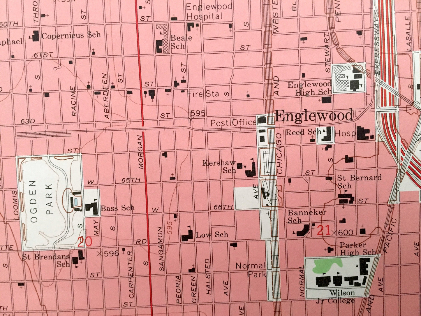
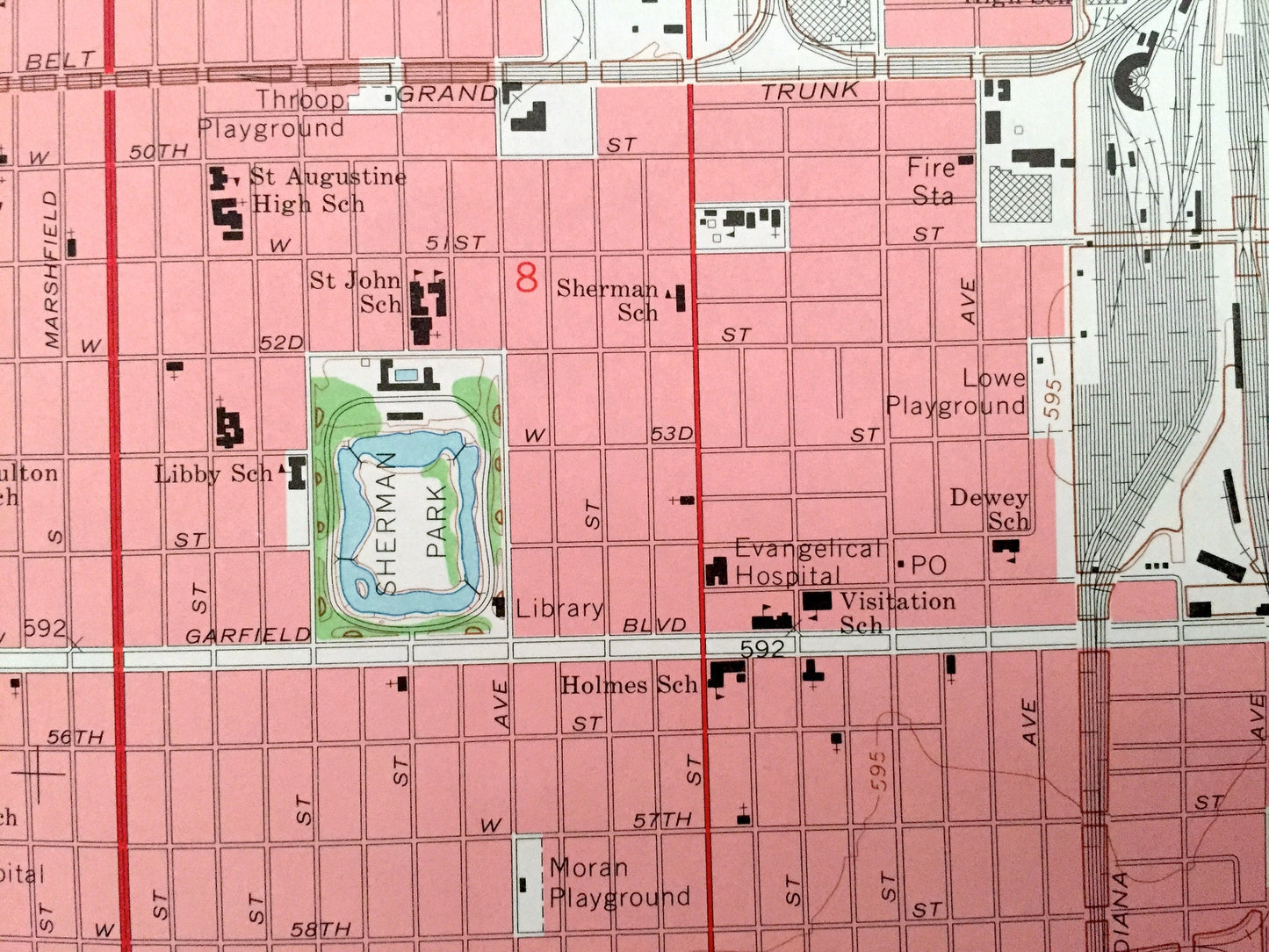
See what Illinois looked like over 55 years ago. Lots of intricate details and geological contours. Map even has little squares for every major building that existed at the time. The USGS cartographers were very thorough back then!
Perfect for the historian, map-lover, the curious or just as a conversation starter. Wonderful and rare. Vintage maps such as these make great gifts.
Edition of 1963, printed 1965
Dimensions: 22" width x 27" height
----
Features
Cities & Towns: Englewood, Chicago, Bedford Park, Cicero, Stickney.
Points of Interest: Cook County, South Branch Chicago River, Marquette Park, Ogden Park, Sherman Park, Douglas Park, Chicago Midway Airport and lots more hills, streams, ponds, lakes, rivers, schools, churches, houses, and roads.
Condition: Very Good condition, commensurate with age. This map is in incredible shape for being over 55 years old. Has some light edge-wear but this will read as vintage character when framed.
----
We will happily adjust shipping price for multiple purchases. Maps are rolled up and shipped in sturdy mailing tubes, never folded.
Couldn't load pickup availability
Share