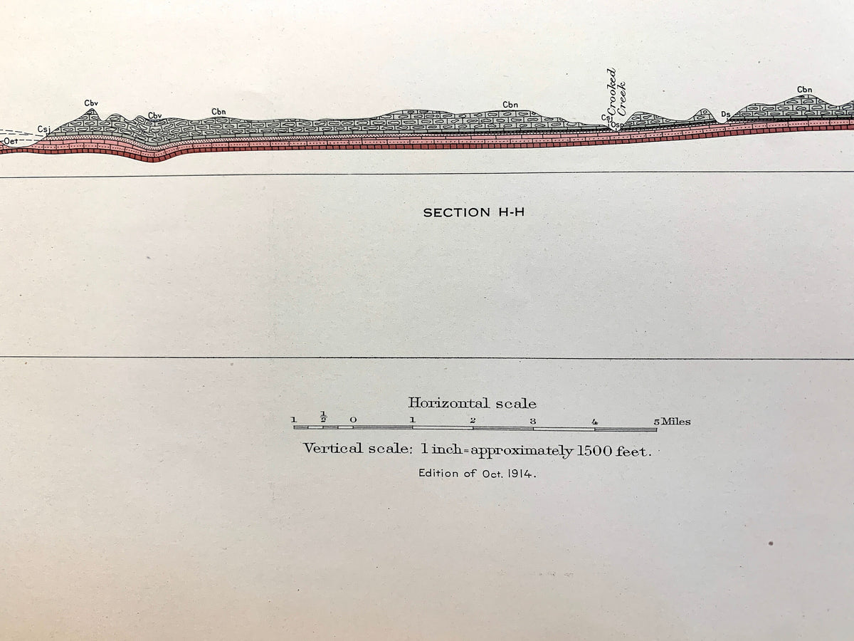
Beautiful, antique illustration of Harrison and Eureka Springs, Arkansas's sedimentary rock formations, including Carroll, Boone, Madison, Newton, Washington County and much more. This is an original 1914 print from the U.S. Geological Survey and NOT a reproduction. It is from a Geologic Atlas folio.
Lots of intricate details and geological contours. The USGS cartographers were very thorough back then! This is one of the rare maps where the topographic symbols and map guide are on the front.
Perfect for the historian, map-lover, the curious or just as a conversation starter. Wonderful and rare. Vintage maps such as these make great gifts or office decoration.
Edition of 1914, printed 1914
Dimensions: 18 1/2" width x 22" height
----
Condition: Good Vintage condition, commensurate with age. This map is in great shape for being over 110 years old. Has light edge-wear and staple-holes in right margin from folio, but this will add to vintage character when framed.
----
We will happily adjust shipping price for multiple purchases. Map will be shipped folded and fully-insured.