My Store
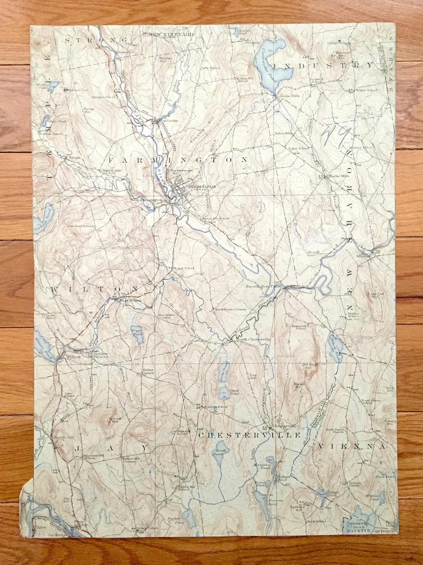
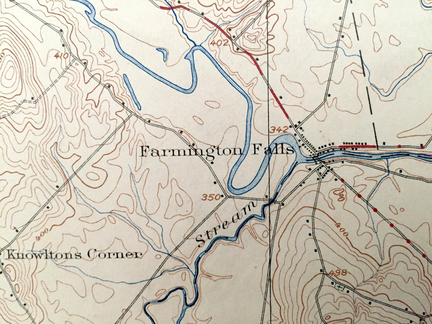
Antique Farmington, Maine 1924 US Geological Survey Topographic Map – Temple, Strong, New Vineyard, Industry, Wilton, New Sharon, Jay
Antique Farmington, Maine 1924 US Geological Survey Topographic Map – Temple, Strong, New Vineyard, Industry, Wilton, New Sharon, Jay
Beautiful, antique map of Farmington, Maine and surrounding area. This is an authentic 1924 print from the U.S. Geological Survey and NOT a computer reproduction.
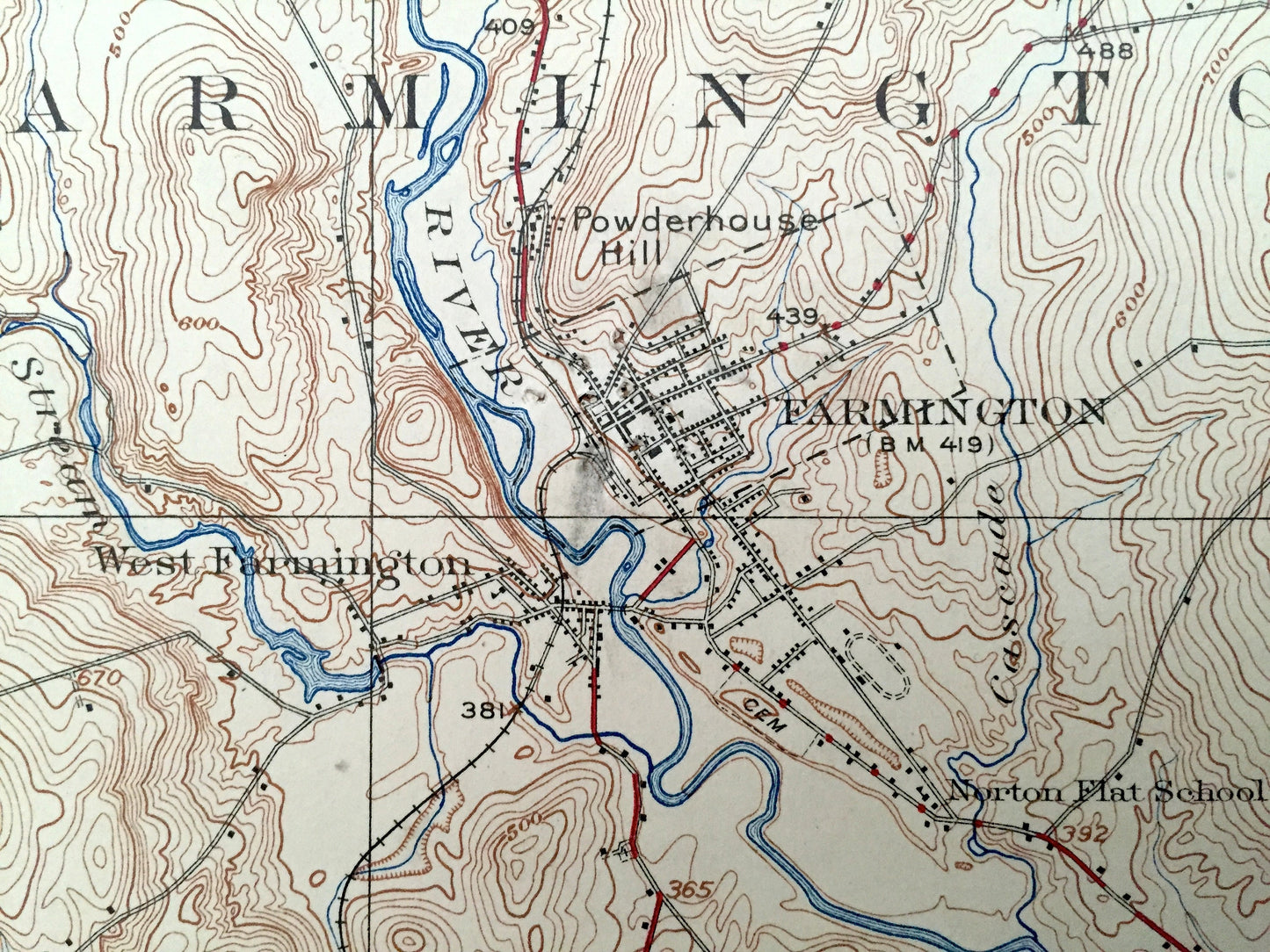
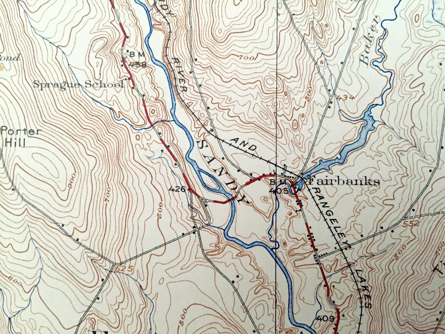
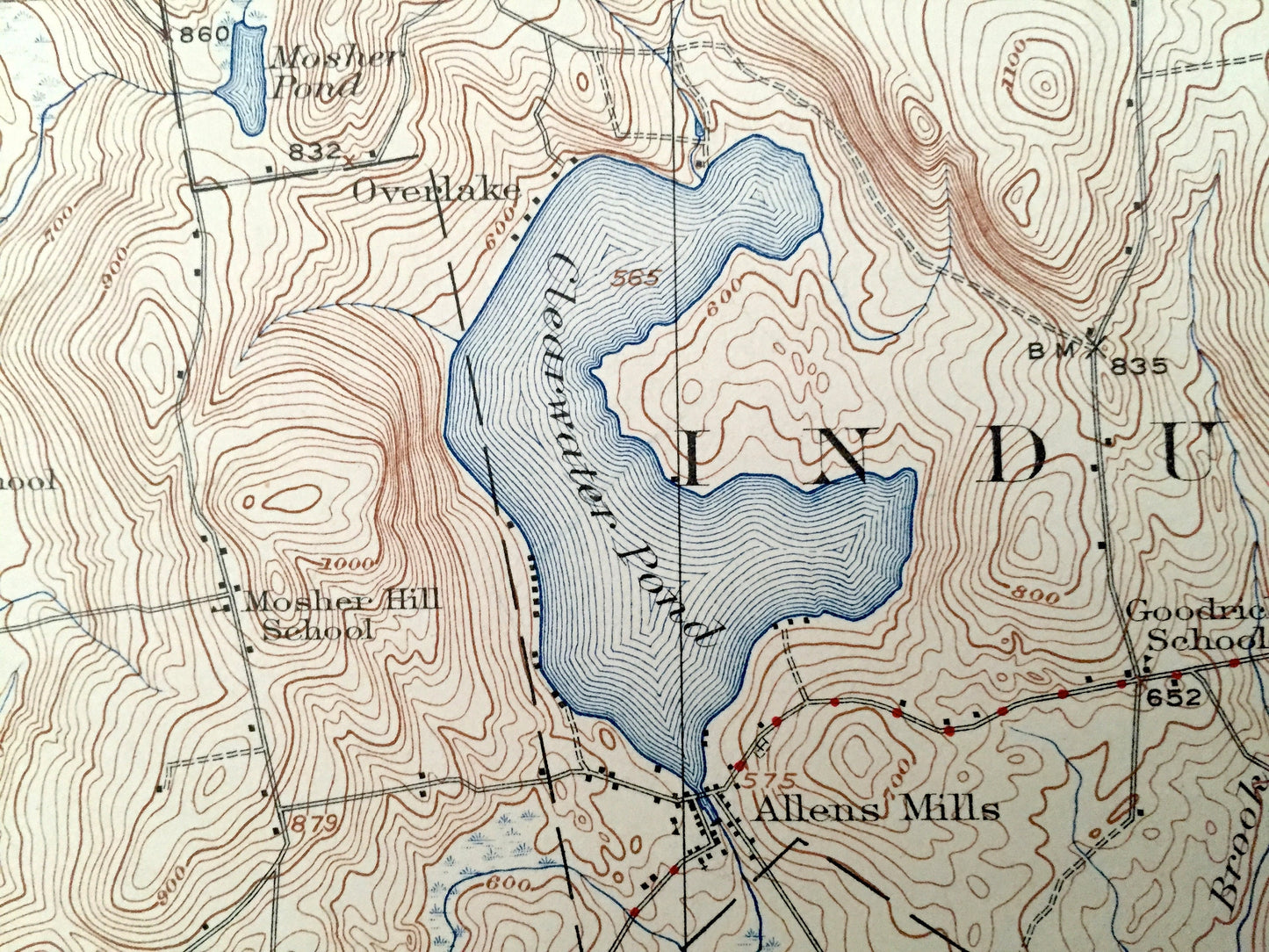
See what Farmington, home of the University of Maine at Farmington, looked like almost 100 years ago. Lots of intricate details and geological contours. Map even has little squares for every house that existed at the time. The USGS cartographers were very thorough back then! On the back is a description of topographic symbols and map guide.
Perfect for the historian, map-lover, the curious or just as a conversation starter. Wonderful and rare. Vintage maps such as these make great gifts.
Edition of 1924, printed 1924
Dimensions: 12 1/2" width x 17 1/2" height
----
Features
Cities & Towns: Farmington, Temple, Strong, New Vineyard, Industry, Wilton, New Sharon, Jay, Chesterville, Vienna.
Points of Interest: Sandy River, Clearwater Pond, Parker Pond, Titcomb Mountain, Androscoggin River, and many more streams, ponds, villages and mountains.
Condition: Very Good Vintage condition, commensurate with age. This map is in great shape for being almost 100 years old. Map margins have been trimmed.
----
We will happily adjust shipping price for multiple purchases. Maps are rolled up and shipped in sturdy mailing tubes, never folded.
Couldn't load pickup availability
Share