My Store
Antique Flag Point, Oregon 1962 US Geological Survey Topographic Map – Hood River, Wasco County, Mount Hood National Forest, Mt OR
Antique Flag Point, Oregon 1962 US Geological Survey Topographic Map – Hood River, Wasco County, Mount Hood National Forest, Mt OR
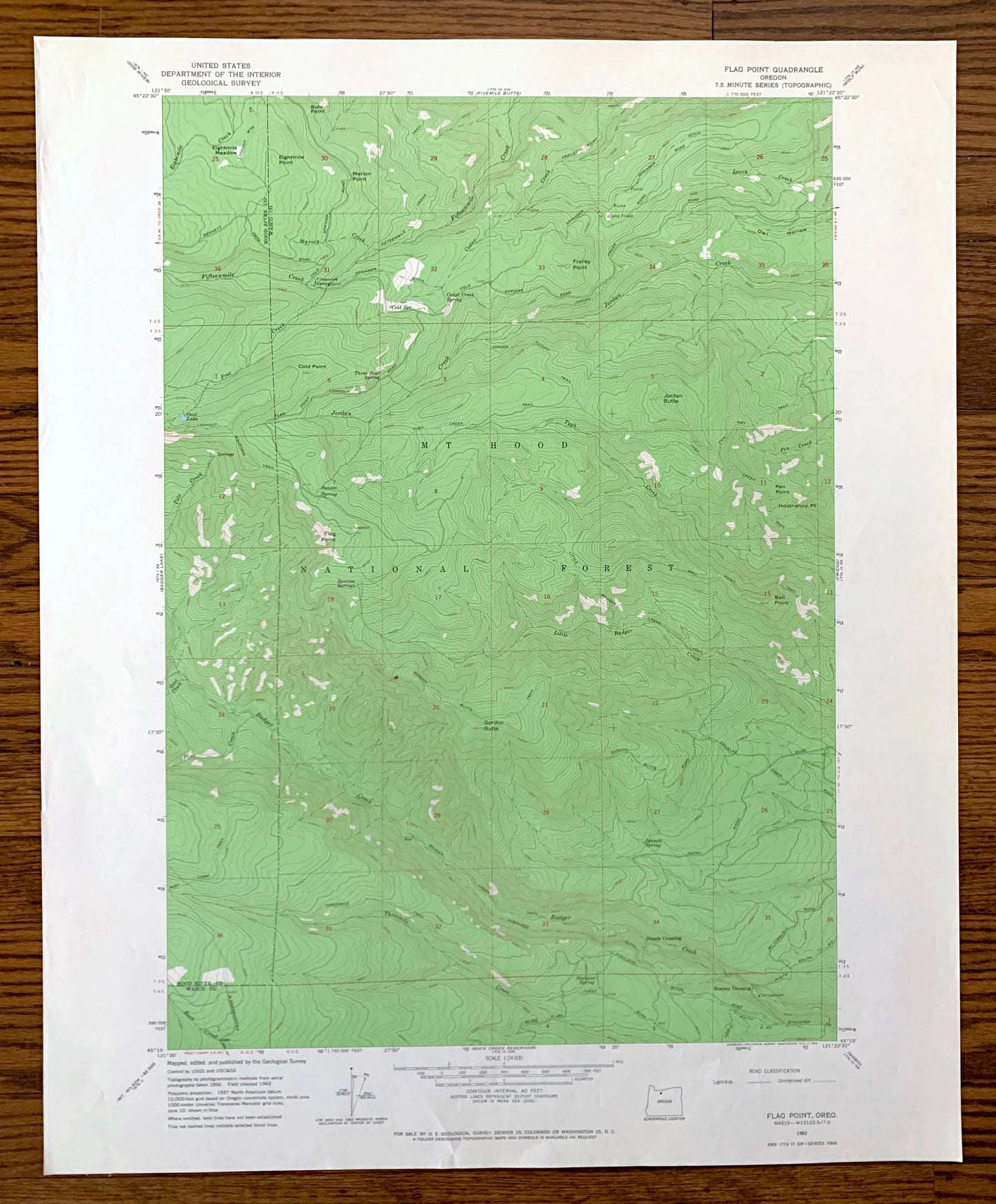
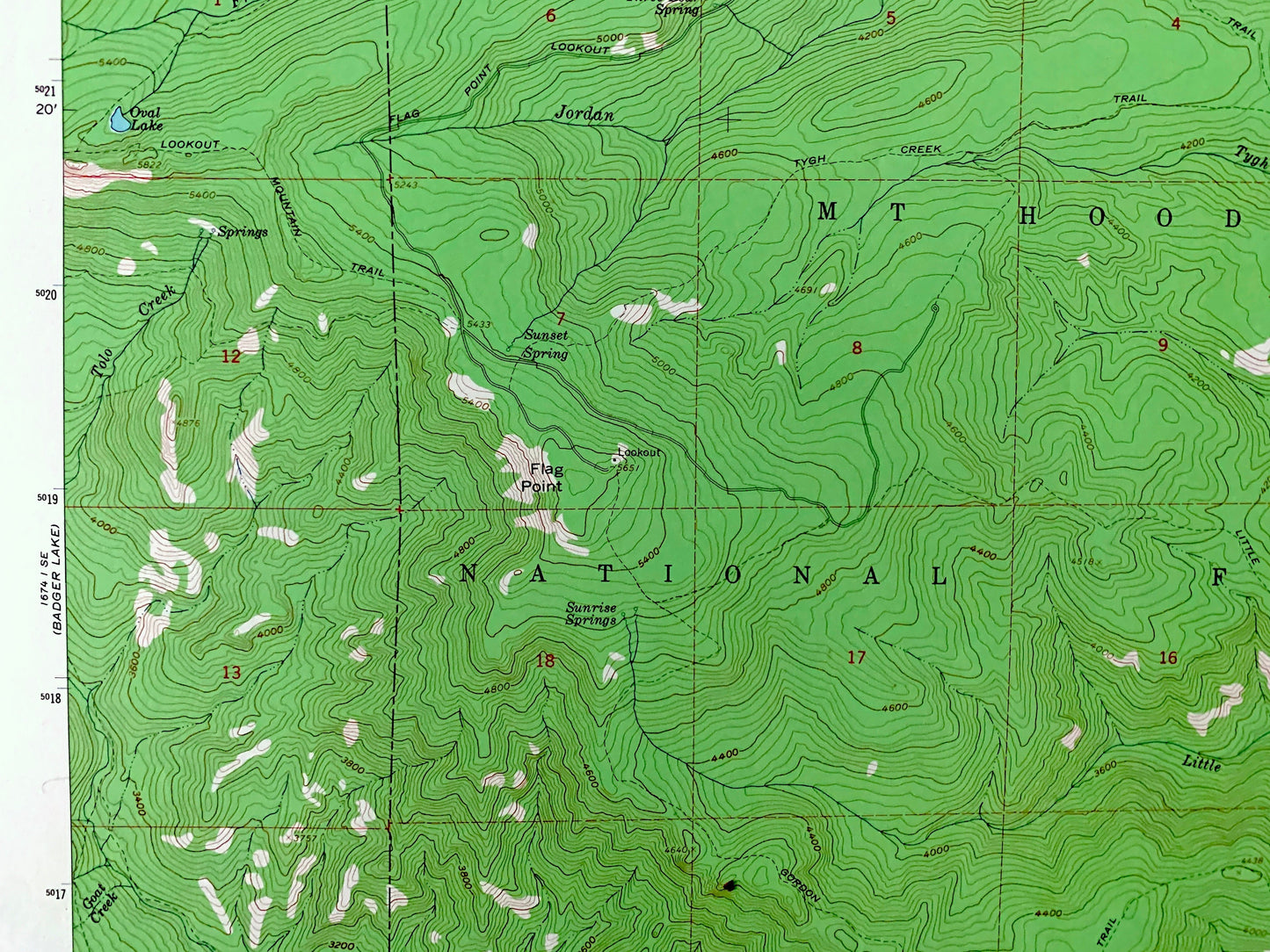
Beautiful, antique map of Flag Point, Oregon and surrounding Hood River County & Wasco County areas. This is an authentic 1962 edition, 1964 print from the U.S. Geological Survey and NOT a computer reproduction.
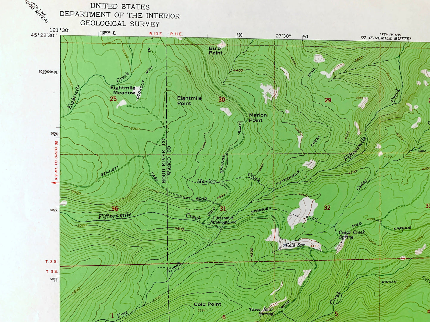
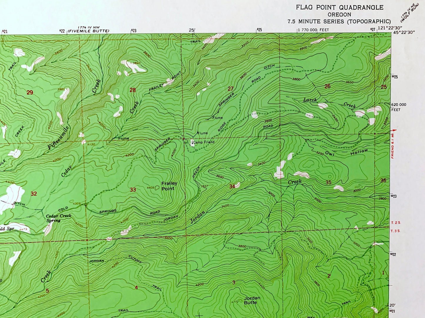
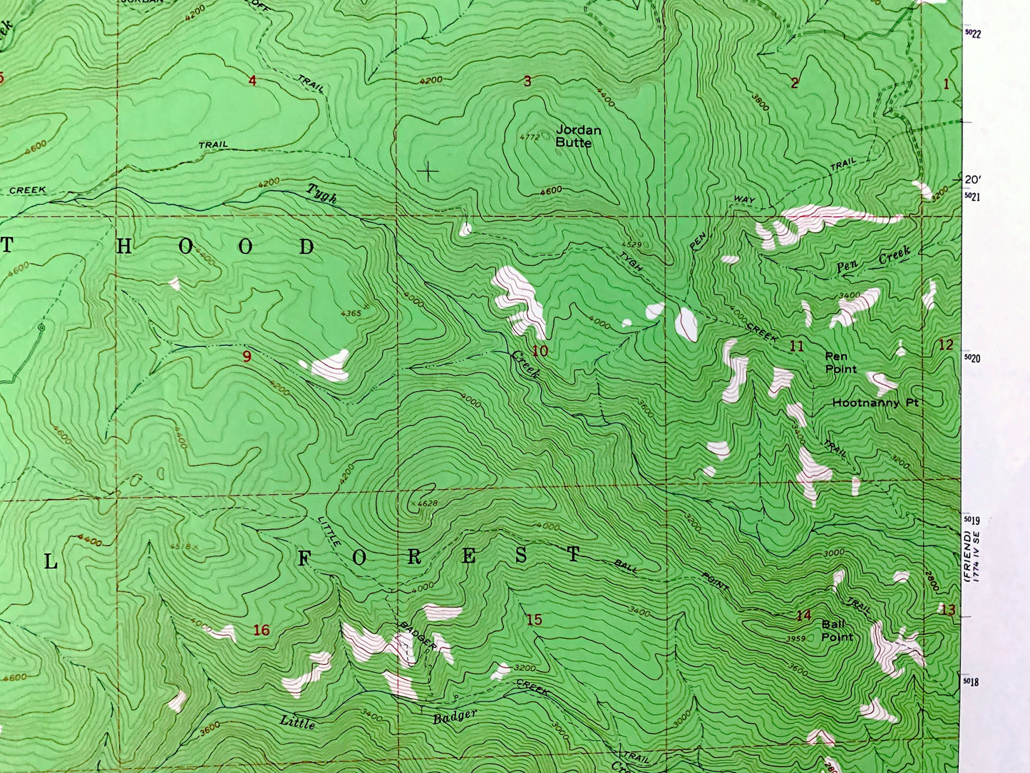
See what Oregon looked like over 60 years ago. Lots of intricate details and geological contours. Map even has little squares for every house that existed at the time. The USGS cartographers were very thorough back then!
Perfect for the historian, map-lover, the curious or just as a conversation starter. Wonderful and rare. Vintage maps such as these make great gifts.
Edition of 1962, printed 1964
Dimensions: 22" width x 27" height
----
Features
Points of Interest: Mt Hood National Forest, Cold Point, Jordan Butte, Ball Point, Steeds Crossing, Bonney Crossing, Badger Creek, Eightmile Creek, Fifteenmile Creek, Jordan Creek, Tygh Creek, Little Badger Creek, Threemile Creek, Rock Creek, Fret Creek, and many more hills, streams, ponds, houses, schools, railroads, churches and roads.
Condition: Very Good Vintage condition, commensurate with age. This map is in great shape for being over 55 years old. Has light edge-wear but will read as character when framed.
----
We will happily adjust shipping price for multiple purchases. Maps are rolled up and shipped in sturdy mailing tubes, never folded.
Couldn't load pickup availability
Share