My Store
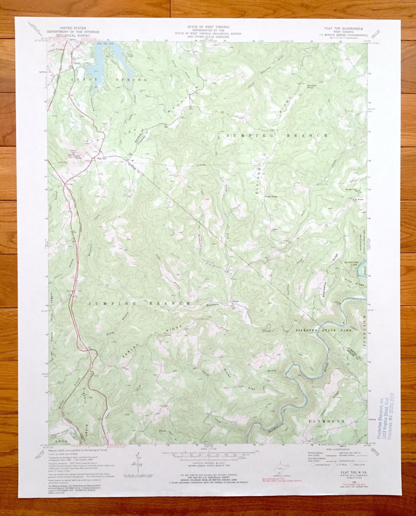
Antique Flat Top, West Virginia 1968 US Geological Survey Topographic Map – Raliegh, Summers, Mercer County, Shady Spring, Jumping Branch WV
Antique Flat Top, West Virginia 1968 US Geological Survey Topographic Map – Raliegh, Summers, Mercer County, Shady Spring, Jumping Branch WV
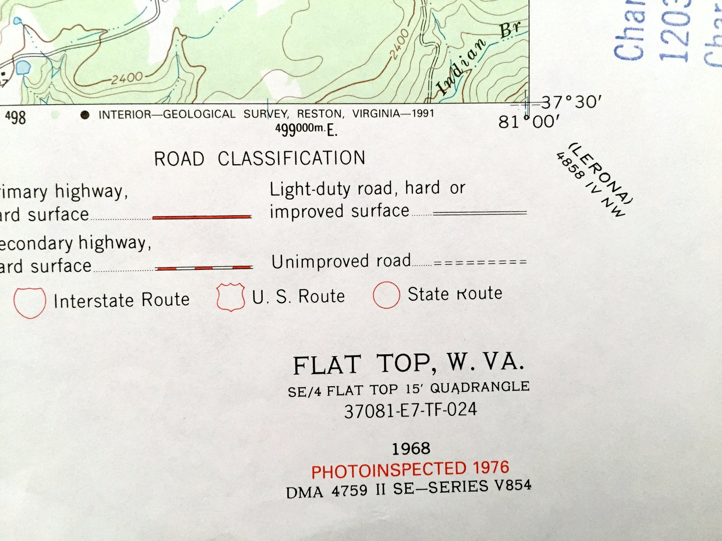
Beautiful, antique map of Flat Top, West Virginia and surrounding Raleigh, Summers and Mercer County area. This is an authentic 1968 edition, 1991 print from the U.S. Geological Survey and NOT a computer reproduction.
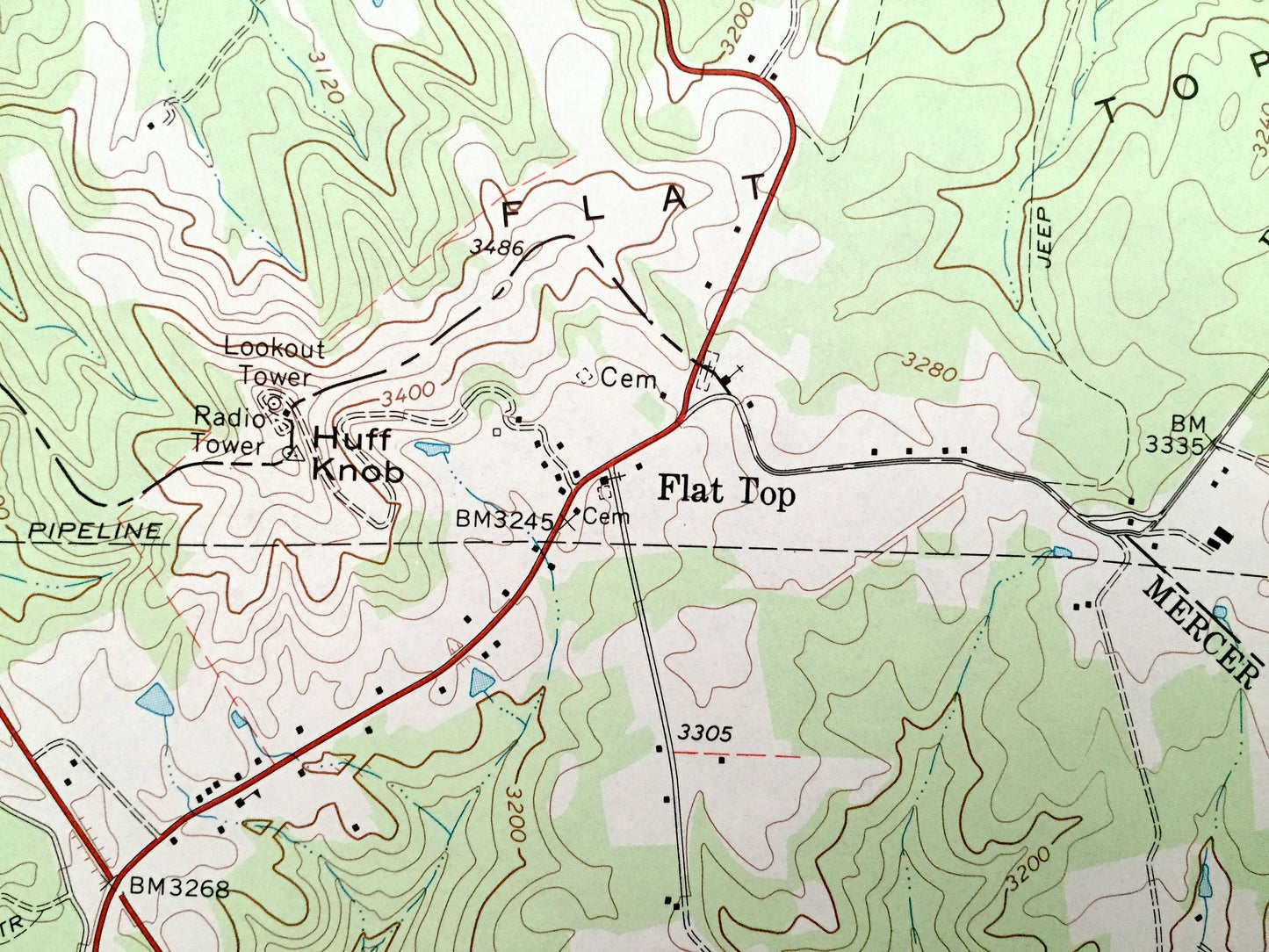
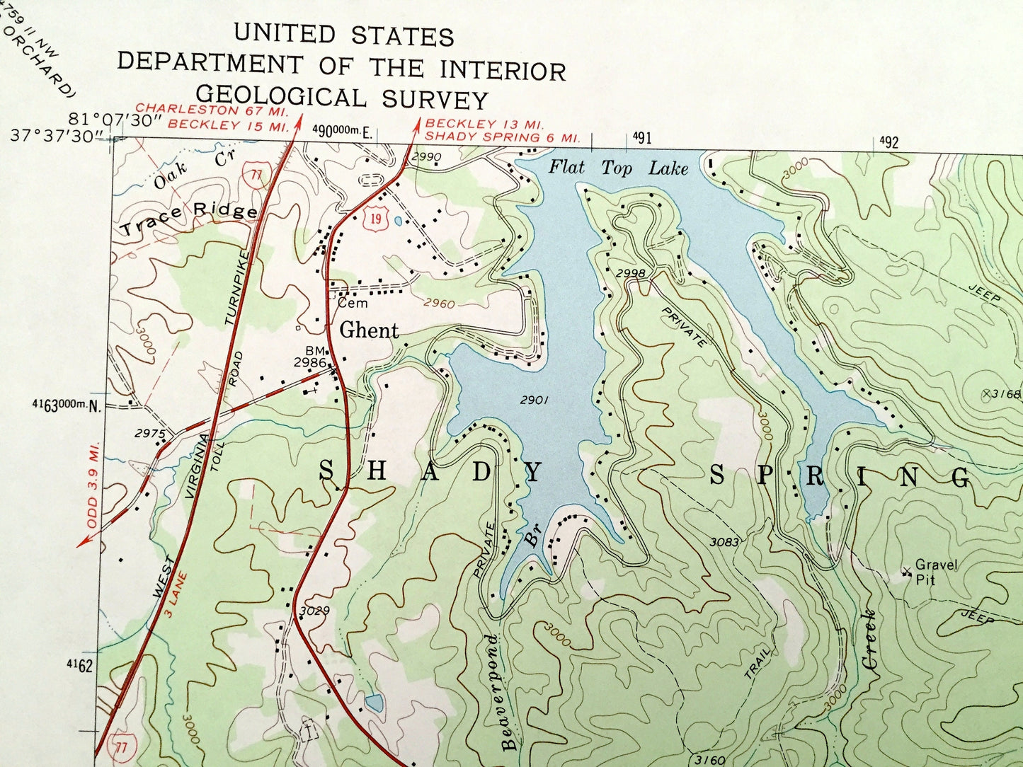
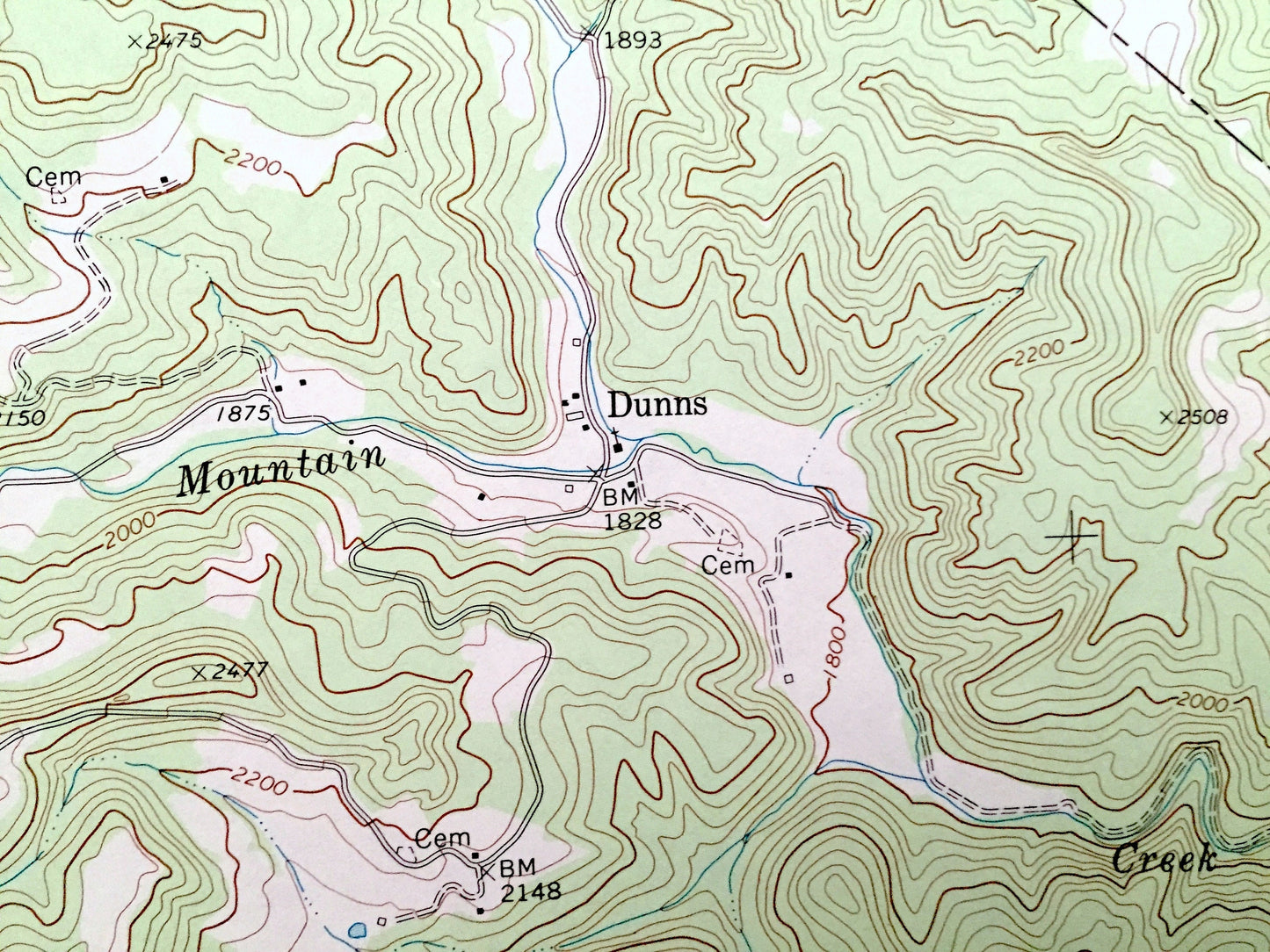
See what West Virginia looked like over 50 years ago. Lots of intricate details and geological contours. Map even has little squares for every house that existed at the time. The USGS cartographers were very thorough back then!
Perfect for the historian, map-lover, the curious or just as a conversation starter. Wonderful and rare. Vintage maps such as these make great gifts.
Edition of 1968, printed 1991
Dimensions: 22" width x 27" height
----
Features
Cities & Towns: Shady Spring, Jumping Branch, Rock, Plymouth, Ghent, Flat Top, Ellison Ridge, Dunns.
Points of Interest: Raleigh County, Mercer County, Summers County, Flat Top Lake, Bluestone River, Flat Top Mountains, Ellison Ridge, Farley Ridge, Pipestream State Park, Bearwallow Ridge, Bluestone Lake and many more hills, ponds, hollows, houses, and roads.
Condition: Very Good Vintage condition, commensurate with age. This map is in great shape for being over 30 years old.
----
We will happily adjust shipping price for multiple purchases. Maps are rolled up and shipped in sturdy mailing tubes, never folded.
Couldn't load pickup availability
Share