My Store
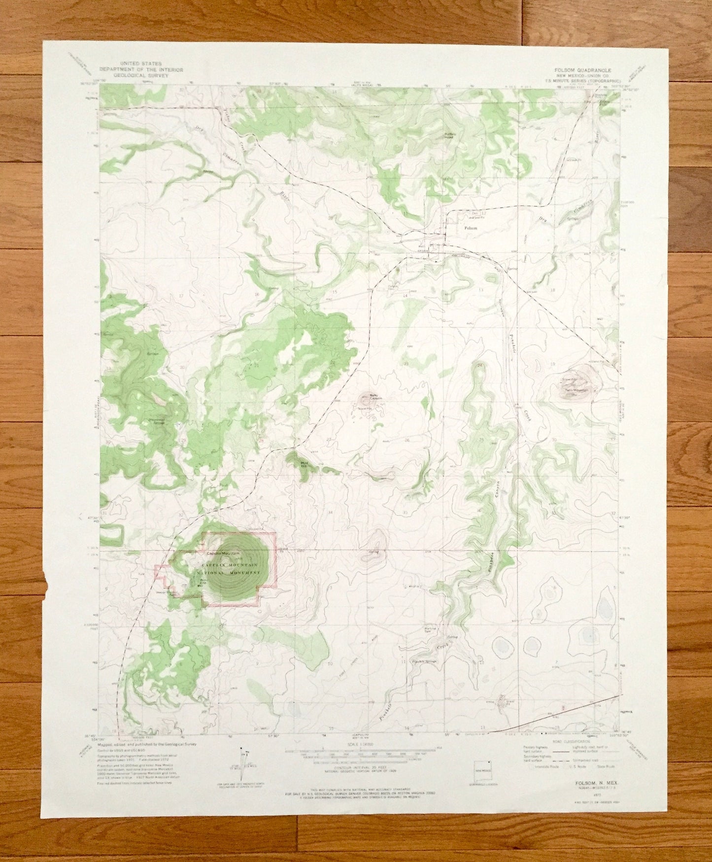
Antique Folsom, New Mexico 1972 US Geological Survey Topographic Map – Union County, Capulin Mountain National Monument, NM
Antique Folsom, New Mexico 1972 US Geological Survey Topographic Map – Union County, Capulin Mountain National Monument, NM
Beautiful, antique map of Folsom, New Mexico and the surrounding Union County area. This is an authentic 1972 edition, 1975 print from the U.S. Geological Survey and NOT a computer reproduction.
See what New Mexico looked like over 45 years ago. Map is incredibly large and in the grand 1:250,000 scale. Lots of intricate details and geological contours. The USGS cartographers were very thorough back then!
Perfect for the historian, map-lover, the curious or just as a conversation starter. Wonderful and rare. Vintage maps such as this make great gifts.
Edition of 1972, printed 1975
Dimensions: 22" width x 27" height
----
Features
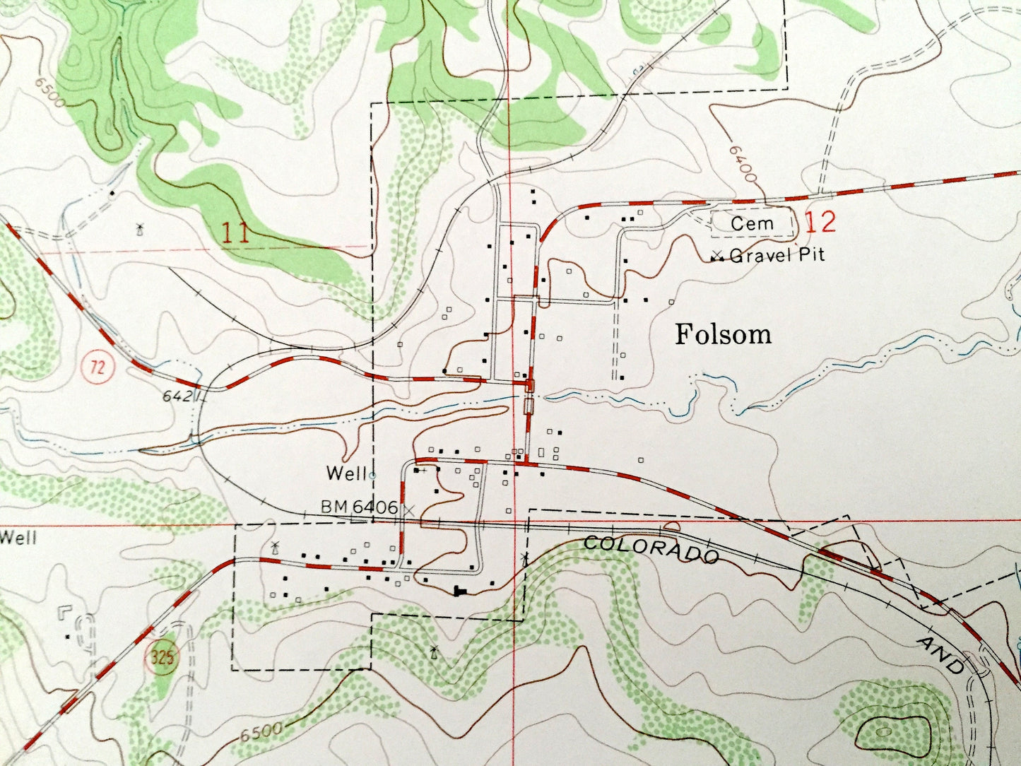
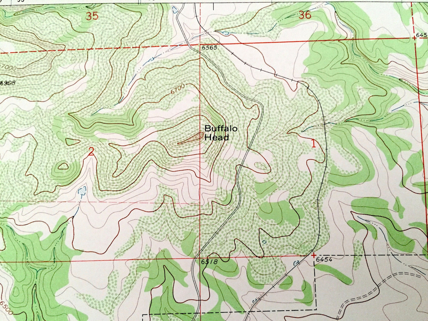
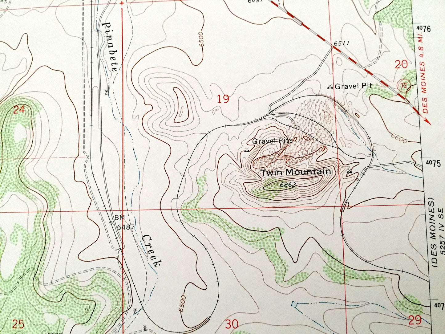
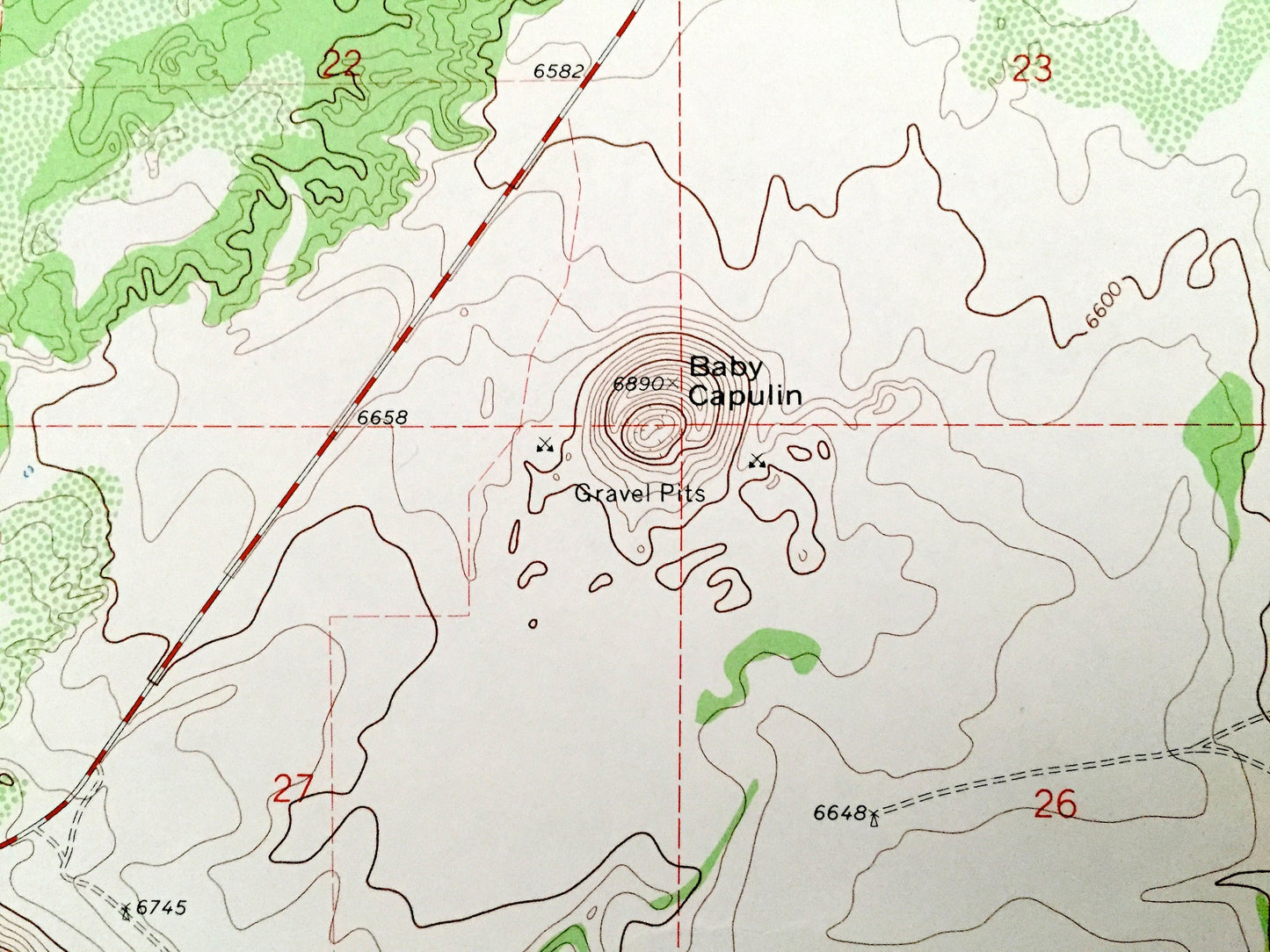
Points of Interest: Capulin Mountain National Monument, Buffalo Head, Mud Hill, Baby Capulin, Twin Mountain, Capulin Mountain, Pinebete Canyon, Dry Cimarron River, Fisher Creek, Pinabete Creek, Stuyvesant Springs, Pinabete Springs, Folsom Falls, and many more hills, streams, ponds, houses, schools, railroads, churches and roads.
Condition: Very Good Vintage condition, commensurate with age. This map is in great shape for being over 45 years old. Has edge-wear with small tears on the right hand side, which will read as character when framed.
----
We will happily adjust shipping price for multiple purchases. Maps are rolled up and shipped in sturdy mailing tubes, never folded.
Couldn't load pickup availability
Share