My Store
Antique Fortescue, New Jersey 1956 US Geological Survey Topographic Map – Cumberland County, Downe, NJ, Kent County, DE
Antique Fortescue, New Jersey 1956 US Geological Survey Topographic Map – Cumberland County, Downe, NJ, Kent County, DE
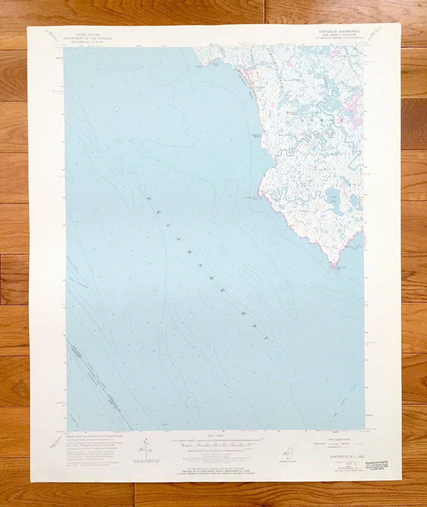
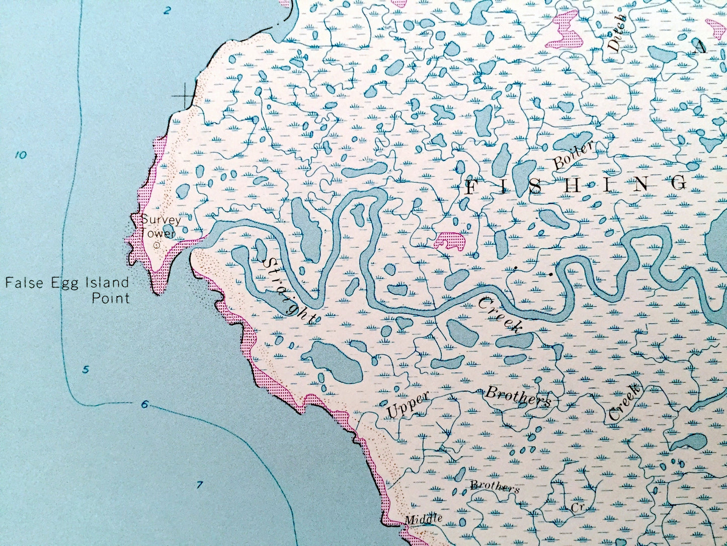
Beautiful, antique map of Fortescue, New Jersey and surrounding Cumberland County areas. This is an authentic 1956 edition, 1972 print from the U.S. Geological Survey and NOT a computer reproduction.
See what New Jersey looked like more than 60 years ago. Lots of intricate details and geological contours. Map even has little squares for every house that existed at the time. The USGS cartographers were very thorough back then!
Perfect for the historian, map-lover, the curious or just as a conversation starter. Wonderful and rare. Vintage maps such as these make great gifts.
Edition of 1956, printed 1972
Dimensions: 22" width x 27" height
----
Features
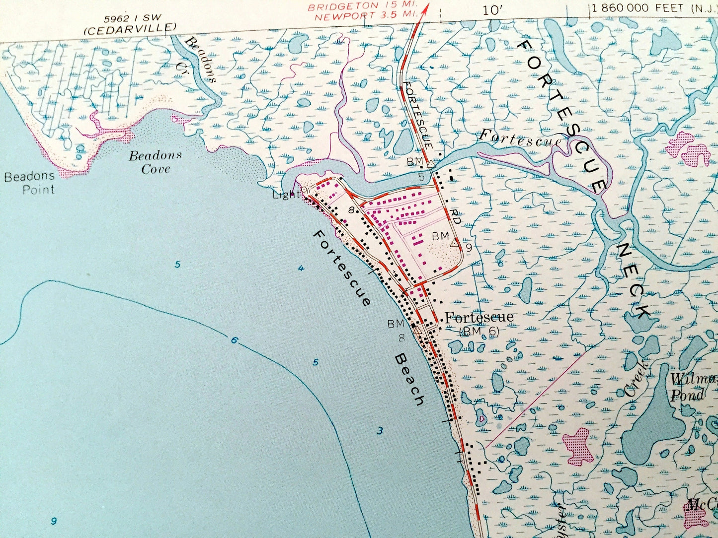
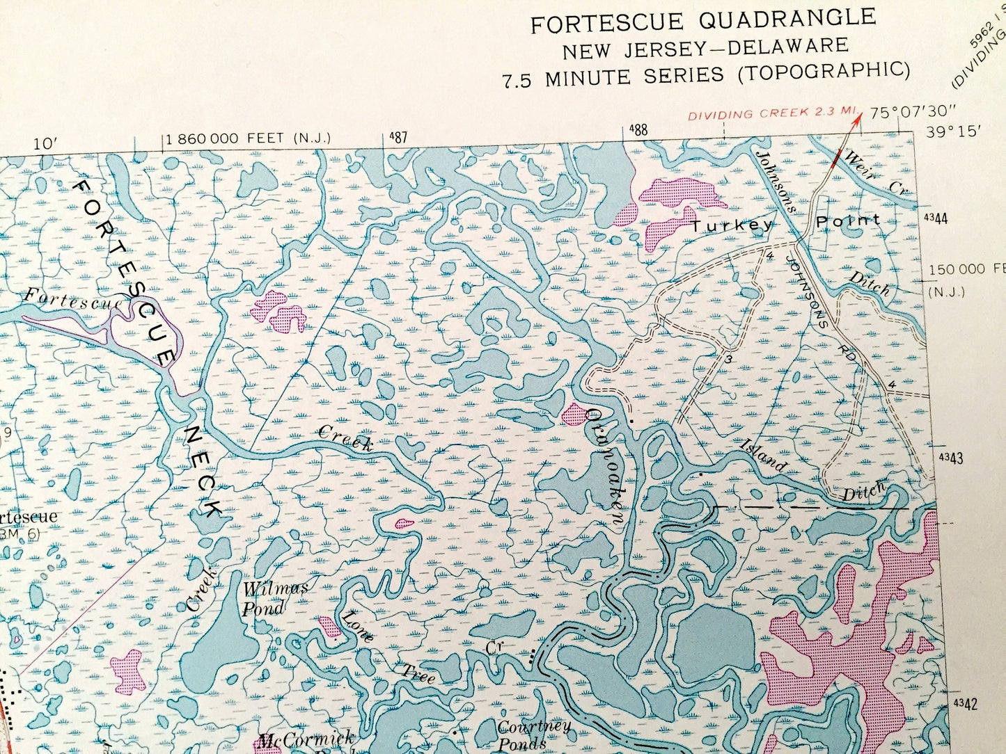
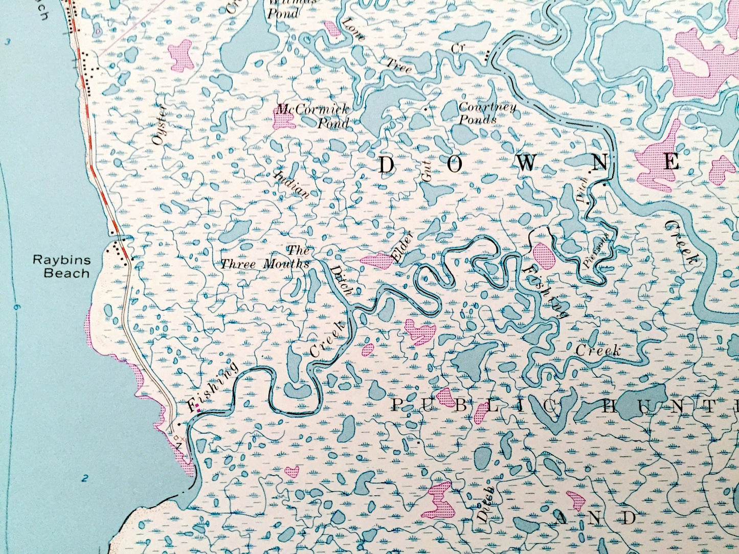
Cities & Towns: Downe, Fortescue.
Points of Interest: Delaware Bay, Fortescue Neck, Turkey Point, Fortescue Beach, Raybins Beach, Public Hunting and Fishing Grounds, Beadons Point, Beadons Cove, False Egg Island Point, Egg Island Point, Maurice River Cove, Oranoaken Creek, Fortescue Creek, Straight Creek, Fishing Creek, Island Inlet, Wilmas Pond, McCormick Pond, Courtney Ponds, King Pond, Widgeon Ponds, Bay Ponds, and many more roads, ponds, houses, beaches, islands, rivers, inlets, marshes, lighthouses and creeks.
Condition: Very Good Vintage condition, commensurate with age. This map is in great shape for being over 45 years old.
----
We will happily adjust shipping price for multiple purchases. Maps are rolled up and shipped in sturdy mailing tubes, never folded.
Couldn't load pickup availability
Share