My Store
Antique Freeport, Pennsylvania 1993 US Geological Survey Topographic Map – Westmoreland, Allegheny, Butler, Armstrong County Buffalo Fawn PA
Antique Freeport, Pennsylvania 1993 US Geological Survey Topographic Map – Westmoreland, Allegheny, Butler, Armstrong County Buffalo Fawn PA
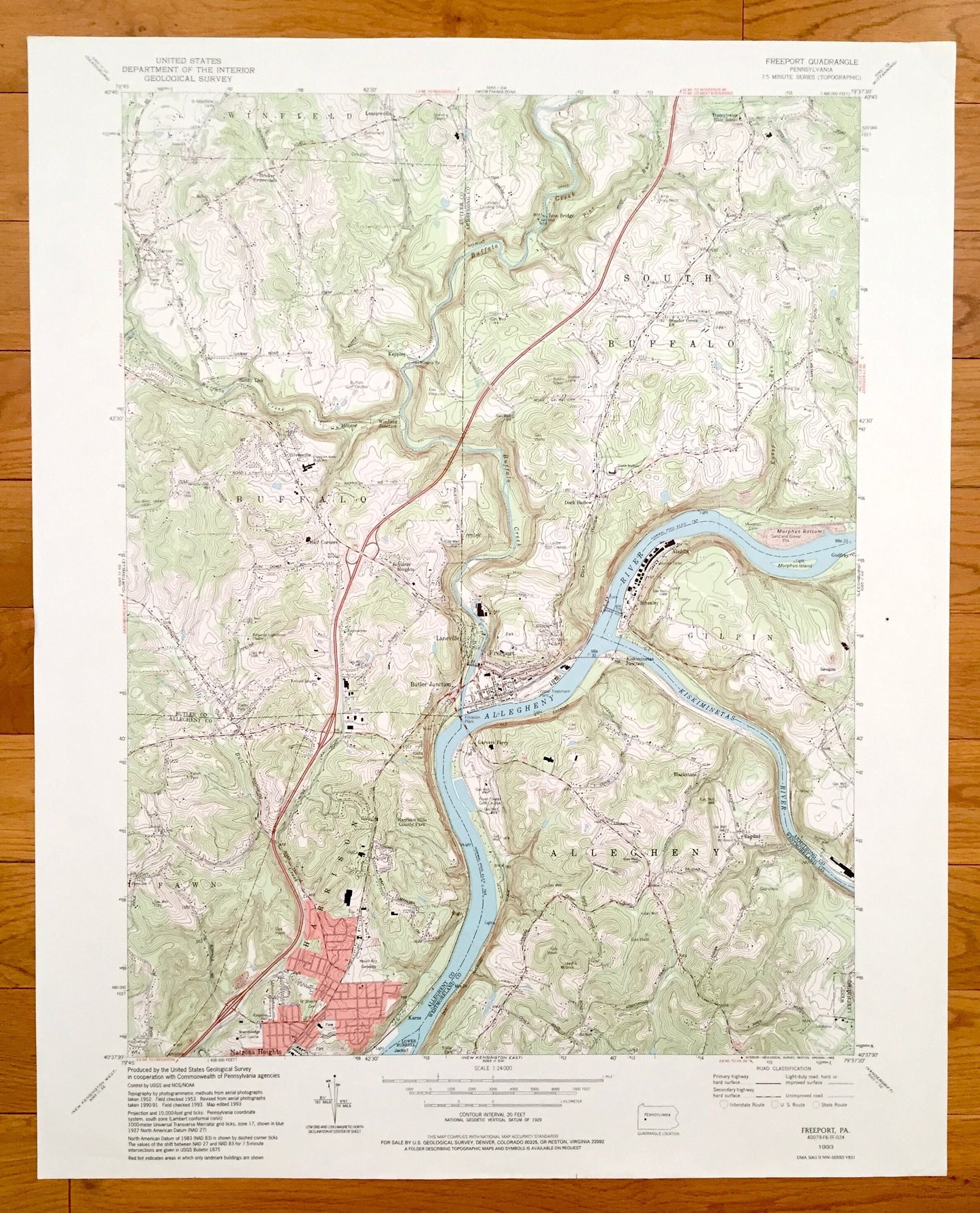
Beautiful, antique map of Freeport, Pennsylvania and surrounding Westmoreland County, Allegheny County, Armstrong County and Butler County areas. This is an authentic 1993 edition, 1993 print from the U.S. Geological Survey and NOT a computer reproduction.
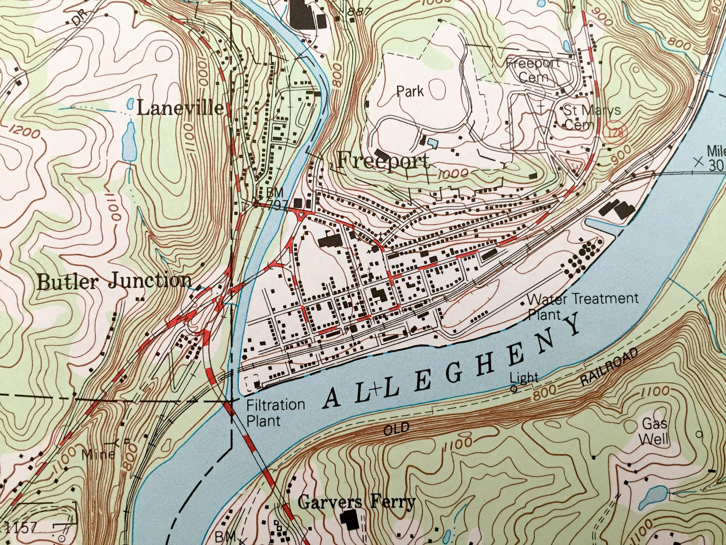
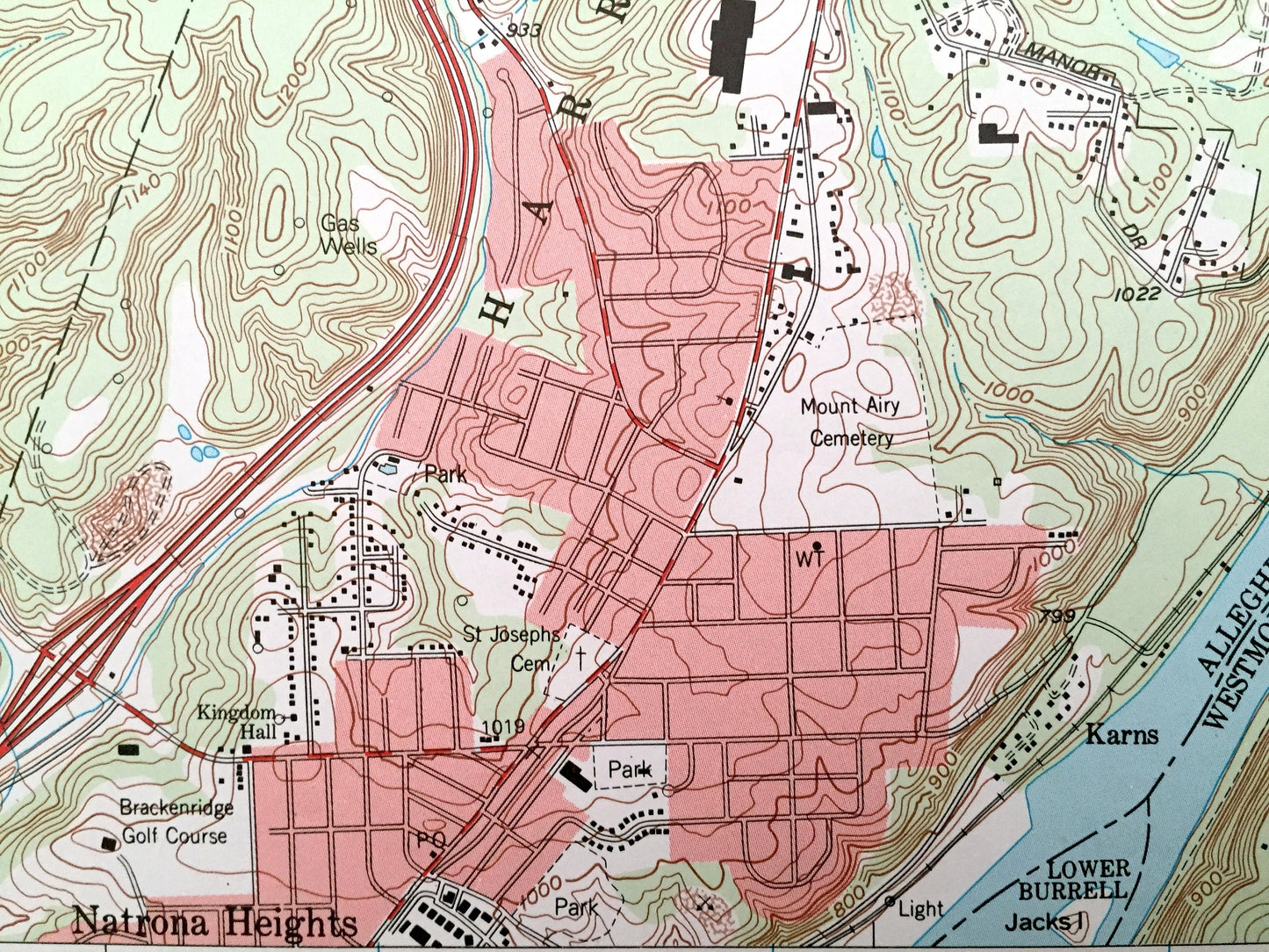
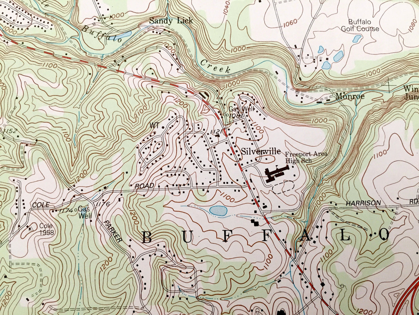
See what Pennsylvania looked like over 25 years ago. Lots of intricate details and geological contours. Map even has little squares for every house that existed at the time. The USGS cartographers were very thorough back then!
Perfect for the historian, map-lover, the curious or just as a conversation starter. Wonderful and rare. Vintage maps such as these make great gifts.
Edition of 1993, printed 1993
Dimensions: 22" width x 27" height
----
Features
Cities & Towns: Freeport, Fawn, Allegheny, Buffalo, South Buffalo, Winfield, Gilpin, Harrison, Bagdad, Blackstone, Garvers Ferry, West Leechburg, Sligo, Karns, Lower Burrel, Natrona Heights, Campton, Laneville, Nolf Corners, Kepples, Sandy Liek, Sarver, Leasureville, Dock Hollow, Godfrey.
Points of Interest: Westmoreland county, Allegheny County, Armstrong County, Butler County, Allegheny River, Kiskiminetas River, Buffalo Creek, Murphys Bottom, Murphys Island, Knapp Run and many more hills, streams, ponds, houses, schools, churches and roads.
Condition: Very Good Vintage condition, commensurate with age. This map is in great shape for being over 25 years old. Has light edge-wear, all of which will read as vintage character when framed.
----
We will happily adjust shipping price for multiple purchases. Maps are rolled up and shipped in sturdy mailing tubes, never folded.
Couldn't load pickup availability
Share