My Store
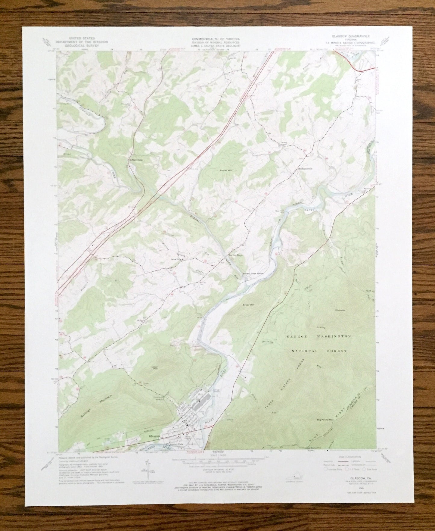
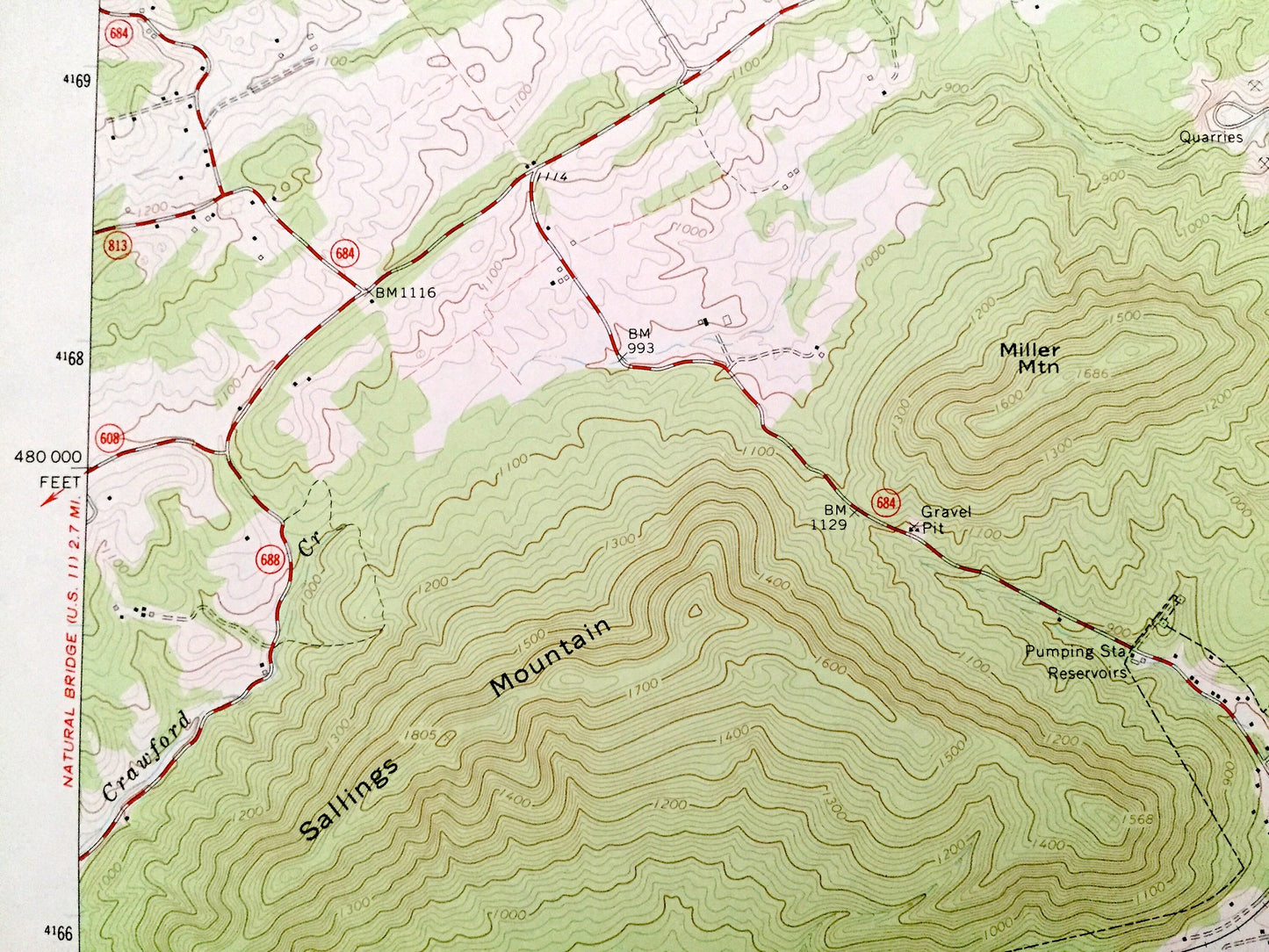
Antique Glasgow, Virginia 1965 US Geological Survey Topographic Map – Rockbridge County, George Washington National Forest, Maury River, VA
Antique Glasgow, Virginia 1965 US Geological Survey Topographic Map – Rockbridge County, George Washington National Forest, Maury River, VA
Beautiful, antique map of Glasgow, Virginia and surrounding Rockbridge County area. This is an authentic 1965 edition, 1967 print from the U.S. Geological Survey and NOT a computer reproduction.
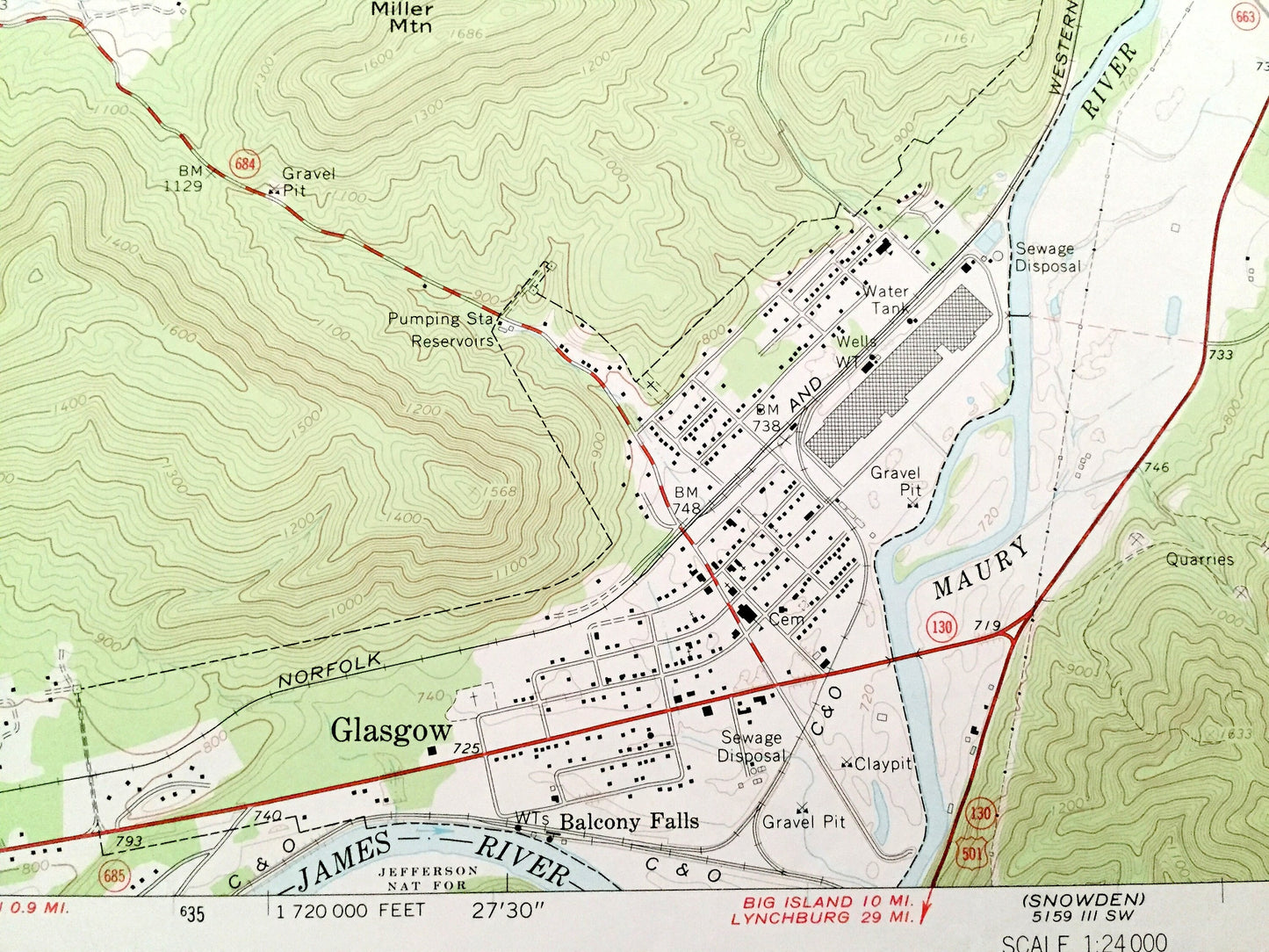
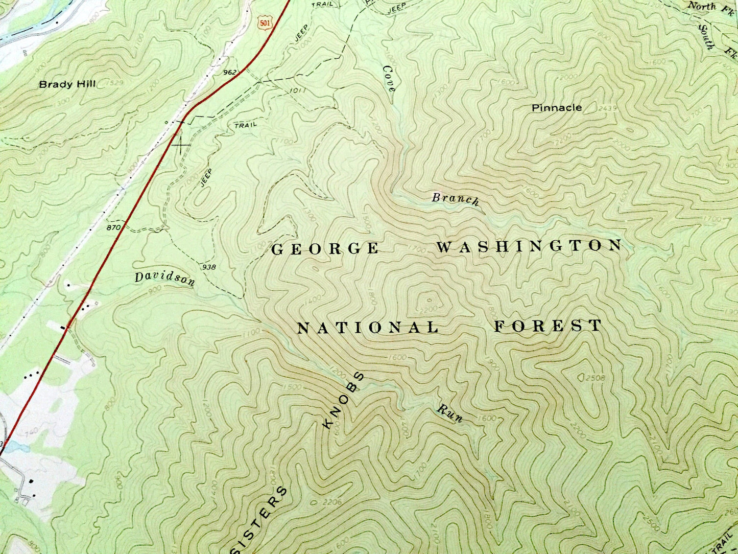
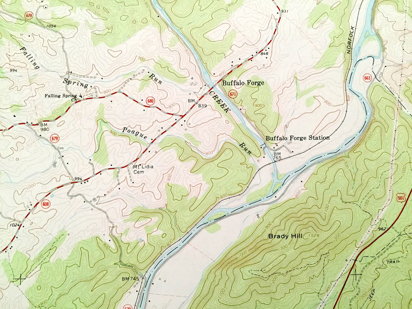
See what Virginia looked like over 55 years ago. Lots of intricate details and geological contours. Map even has little squares for every house that existed at the time. The USGS cartographers were very thorough back then!
Perfect for the historian, map-lover, the curious or just as a conversation starter. Wonderful and rare. Vintage maps such as these make great gifts.
Edition of 1965, printed 1967
Dimensions: 22" width x 27" height
----
Features
Cities & Towns: Glasgow, Buffalo Bend, Mechanicsville, Buffalo Forge.
Points of Interest: Rockbridge County, Amherst County, George Washington National Forest, Maury River, James River, Buffalo Creek, Pinnacle, Big Rocky Row, Three Sisters Knobs, Sallings Mountain, Miller Mountain, Brady Hill, Buffalo Forge Station and many more hills, streams, ponds, houses, schools, churches and roads.
Condition: Good Vintage condition, commensurate with age. This map is in great shape for being over 30 years old. Has light wear but this will add to vintage character when framed.
----
We will happily adjust shipping price for multiple purchases. Maps are rolled up and shipped in sturdy mailing tubes, never folded.
Couldn't load pickup availability
Share