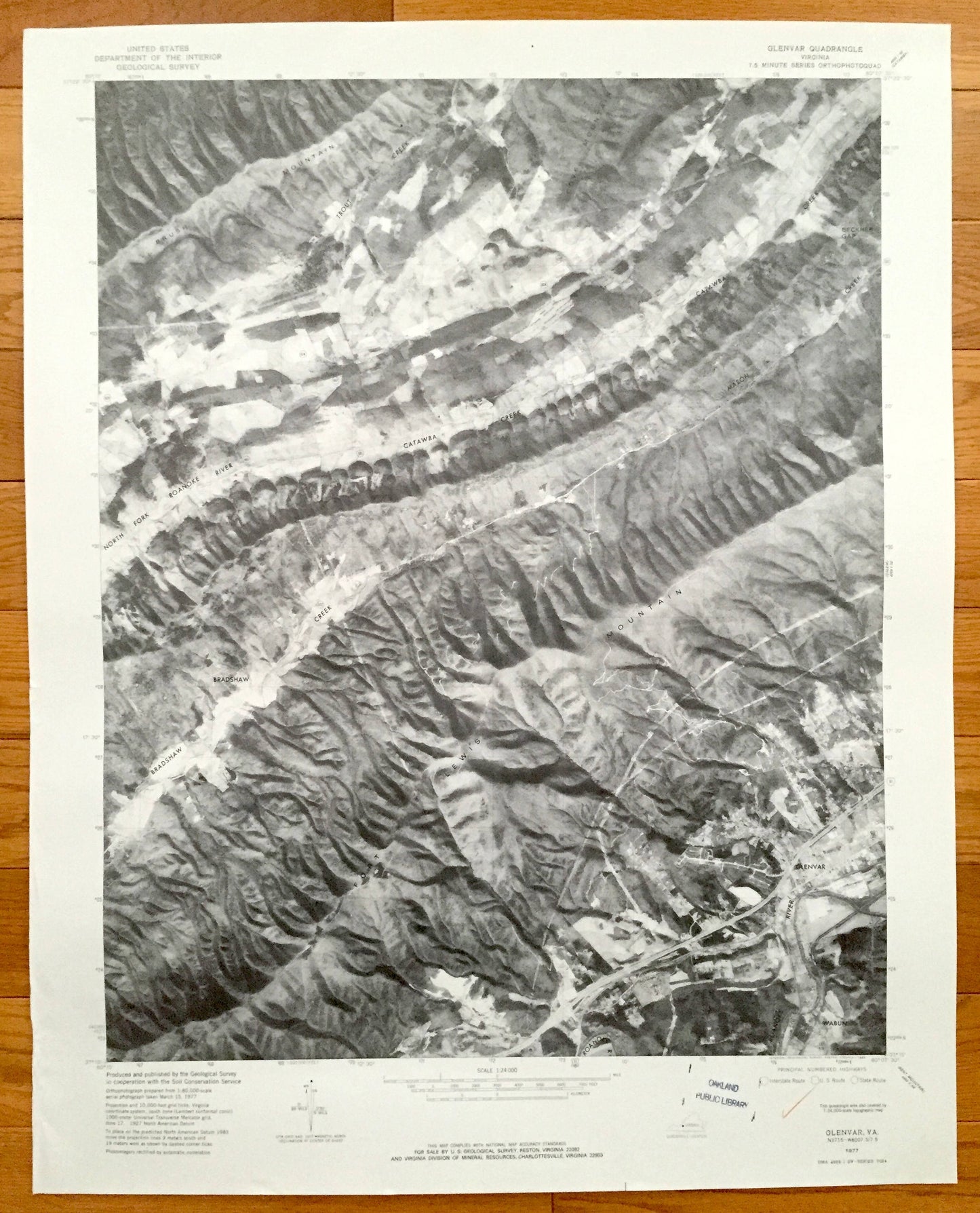
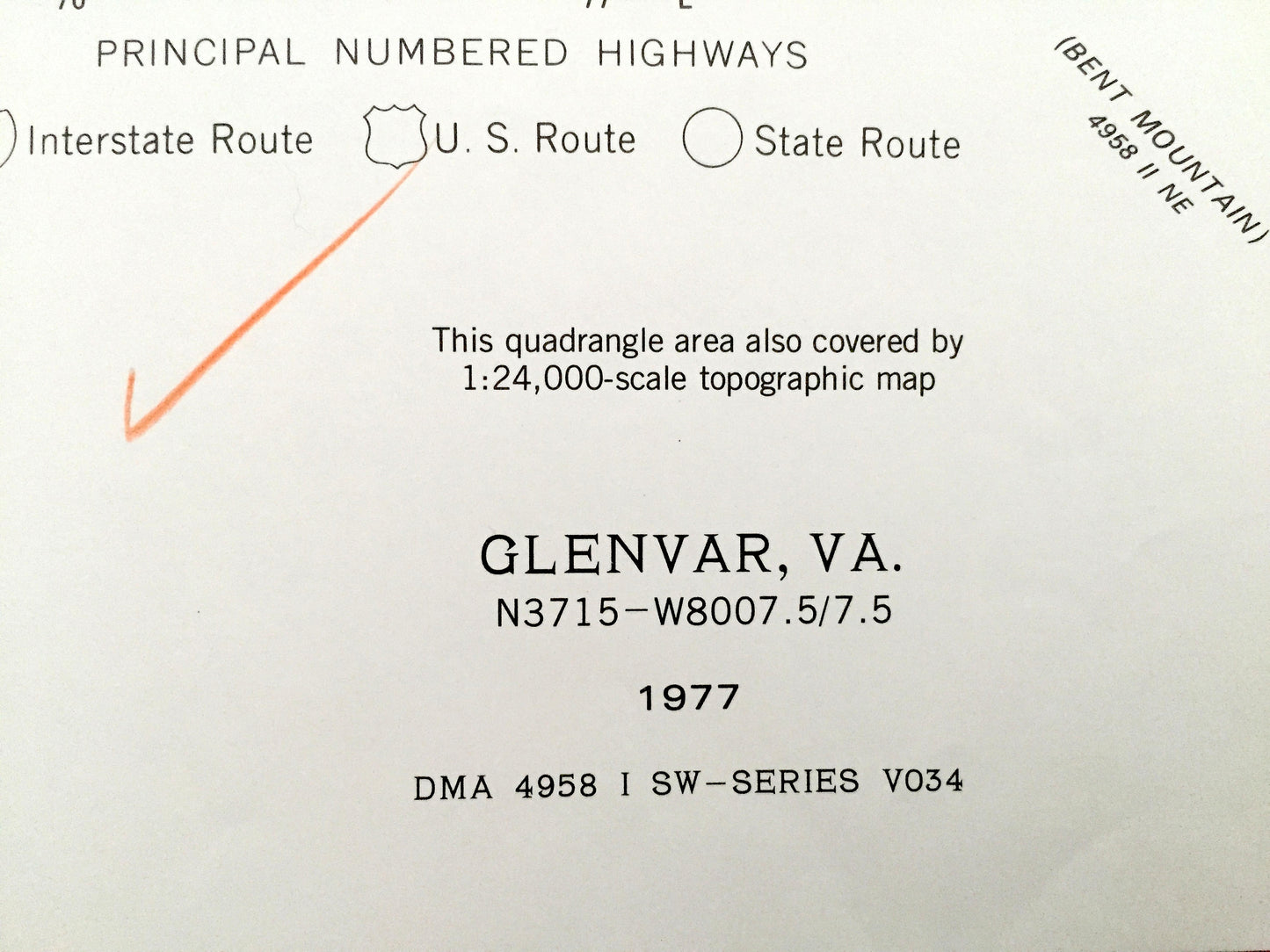
Beautiful, antique map of Glenvar, Wabun, Bradshaw and Jefferson National Forest, Virginia just west of Roanoke. This is an authentic 1977 print from the U.S. Geological Survey and NOT a computer reproduction.
See what Roanoke and Montgomery Counties of Virginia looked like 40 years ago. Lots of intricate details and geological contours.
Perfect for the historian, map-lover, the curious or just as a conversation starter. Wonderful and rare. Vintage maps such as this make great gifts.
Edition of 1977, printed 1977
Dimensions: 23" width x 27" height
----
Features
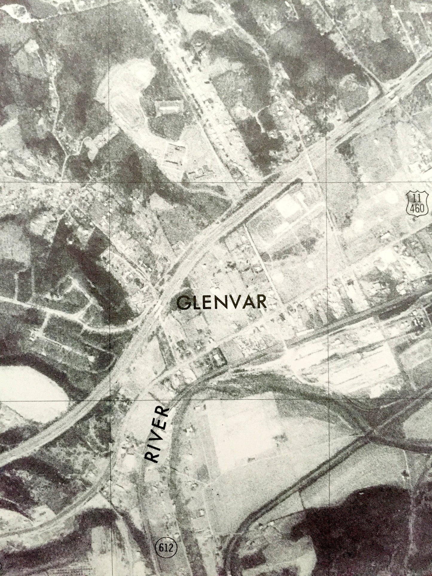
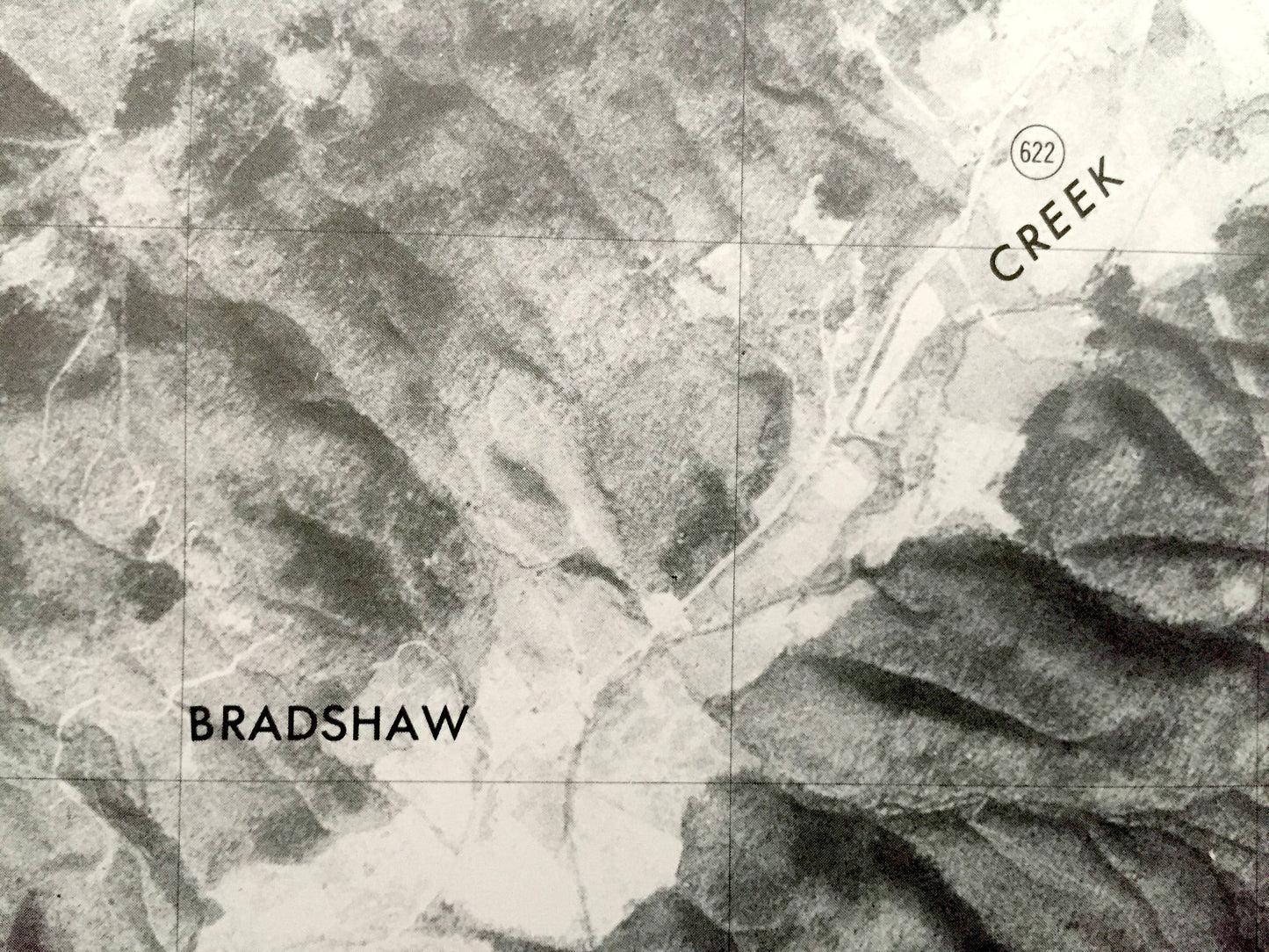
Cities & Towns: Wabun, Glenvar, Bradshaw.
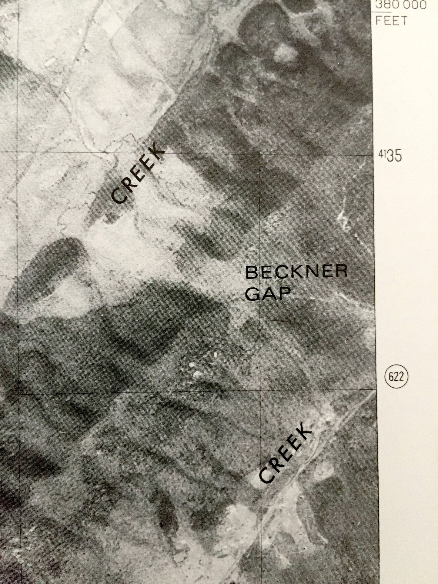
Points of Interest: Brush Mountain, Trout Creek, Fort Lewis Mountain, North Fork Roanoke River, Catawba Creek, Bradshaw Creek.
Condition: Very Good condition, commensurate with age. This map is in incredible shape for being 40 years old.
----
We will happily adjust shipping price for multiple purchases. Maps are rolled up and shipped in sturdy mailing tubes, never folded.