My Store
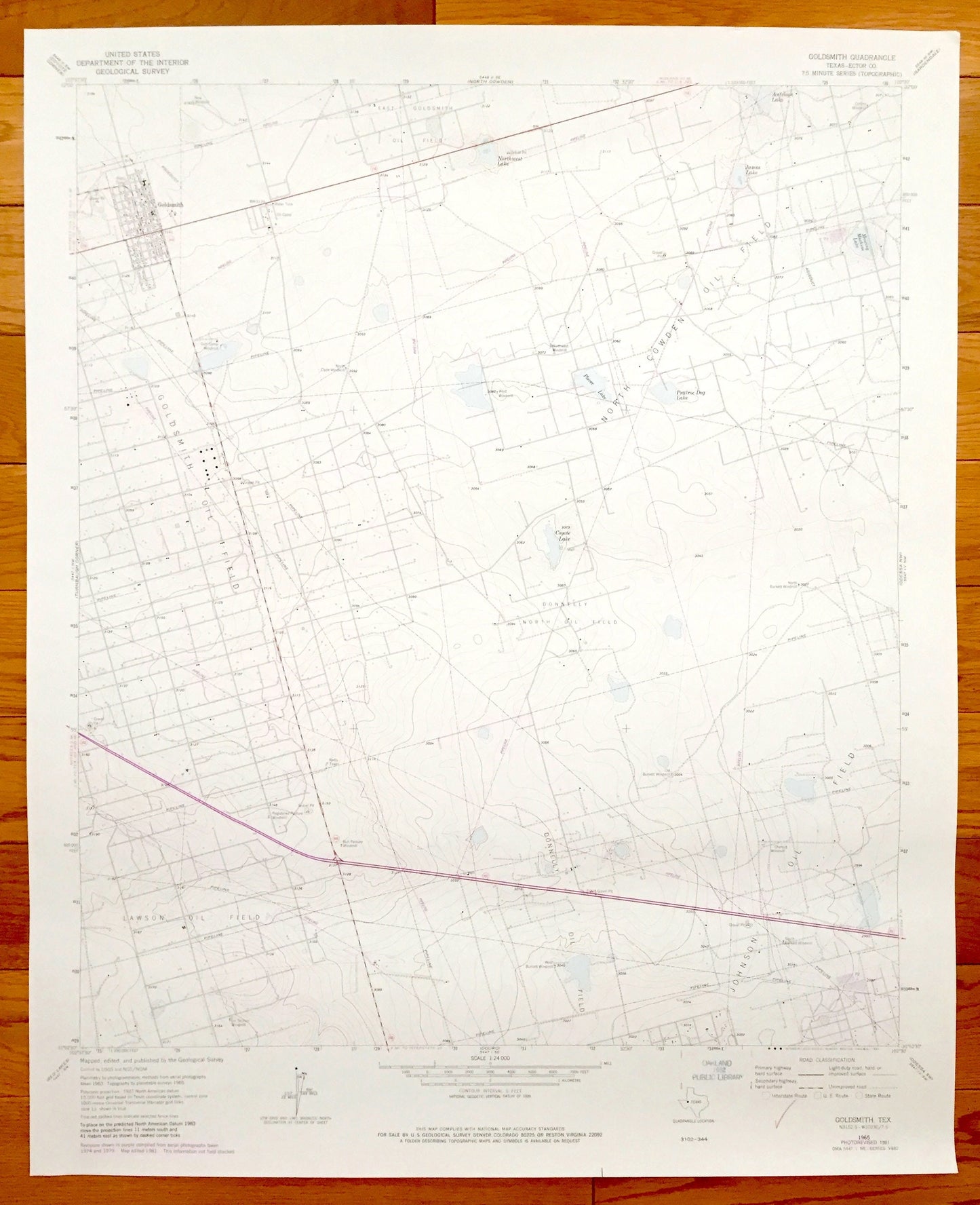
Antique Goldsmith, Texas 1965 US Geological Survey Topographic Map – Ector County, Johnson, Lawson, Goldsmith and Donnelly Oil Fields
Antique Goldsmith, Texas 1965 US Geological Survey Topographic Map – Ector County, Johnson, Lawson, Goldsmith and Donnelly Oil Fields
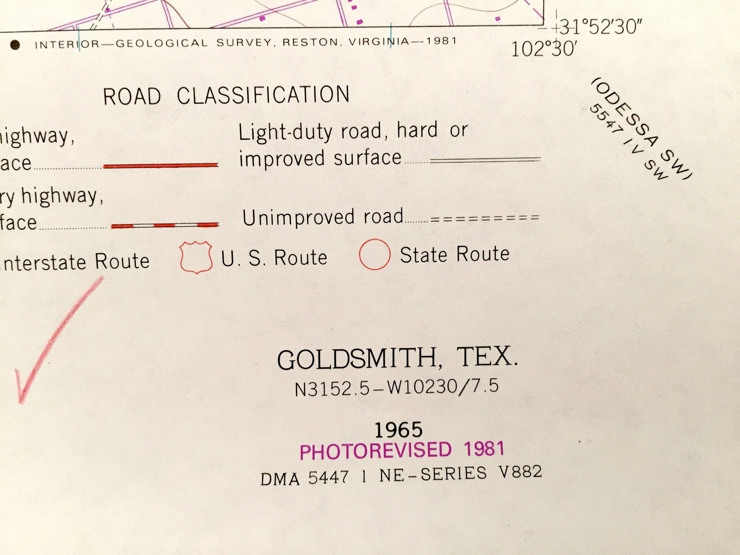
Beautiful, antique map of Goldsmith, Texas. This is an authentic 1965 edition, 1981 print from the U.S. Geological Survey and NOT a computer reproduction.
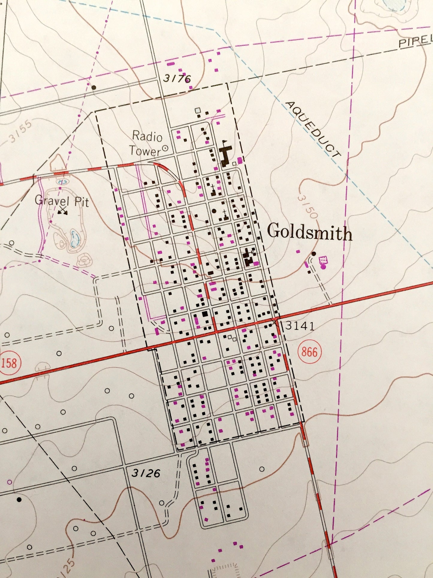
See what Ector County, Texas looked like over 50 years ago. Lots of intricate details and geological contours. Map even has little squares for every house that existed at the time. The USGS cartographers were very thorough back then!
Perfect for the historian, map-lover, the curious or just as a conversation starter. Wonderful and rare. Vintage maps such as this make great gifts.
Edition of 1965, printed 1981
Dimensions: 22" width x 27" height
----
Features
Cities & Towns: Goldsmith.
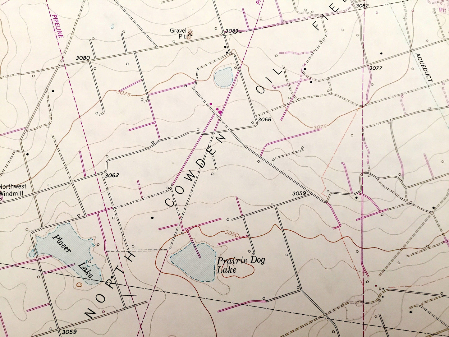
Points of Interest: Goldsmith Oil Field, North Cowden Oil Field, Donnelly North Oil Field, Lawson Oil Field, Johnson Oil Field, Gulf Camp Windmill, Northwest Lake, James Lake, Mowing Machine Lake, Antelope Lake, Prairie Dog Lake, Coyote Lake, Burkett Windmill, Cherry Windmill, and many more roads, windmills, and houses.
Condition: Good condition, commensurate with age. This map is in incredible shape for being over 35 years old.
----
We will happily adjust shipping price for multiple purchases. Maps are rolled up and shipped in sturdy mailing tubes, never folded.
Couldn't load pickup availability
Share