My Store
Antique Goochland, Virginia 1968 US Geological Survey Topographic Map – Powhatan County, State Park, James River, Maidens, Dogtown VA
Antique Goochland, Virginia 1968 US Geological Survey Topographic Map – Powhatan County, State Park, James River, Maidens, Dogtown VA
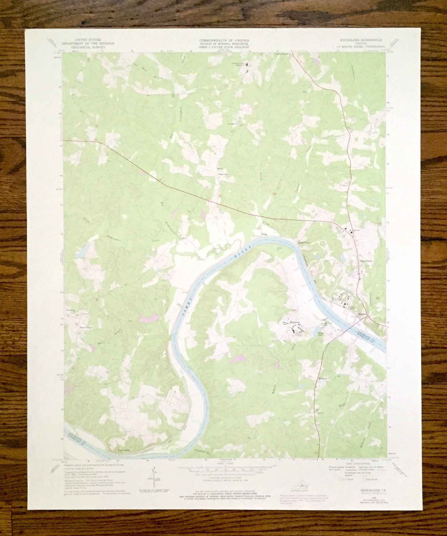
Beautiful, antique map of Goochland, Virginia and surrounding Goochland & Powhatan County area. This is an authentic 1968 edition, 1977 print from the U.S. Geological Survey and NOT a computer reproduction.
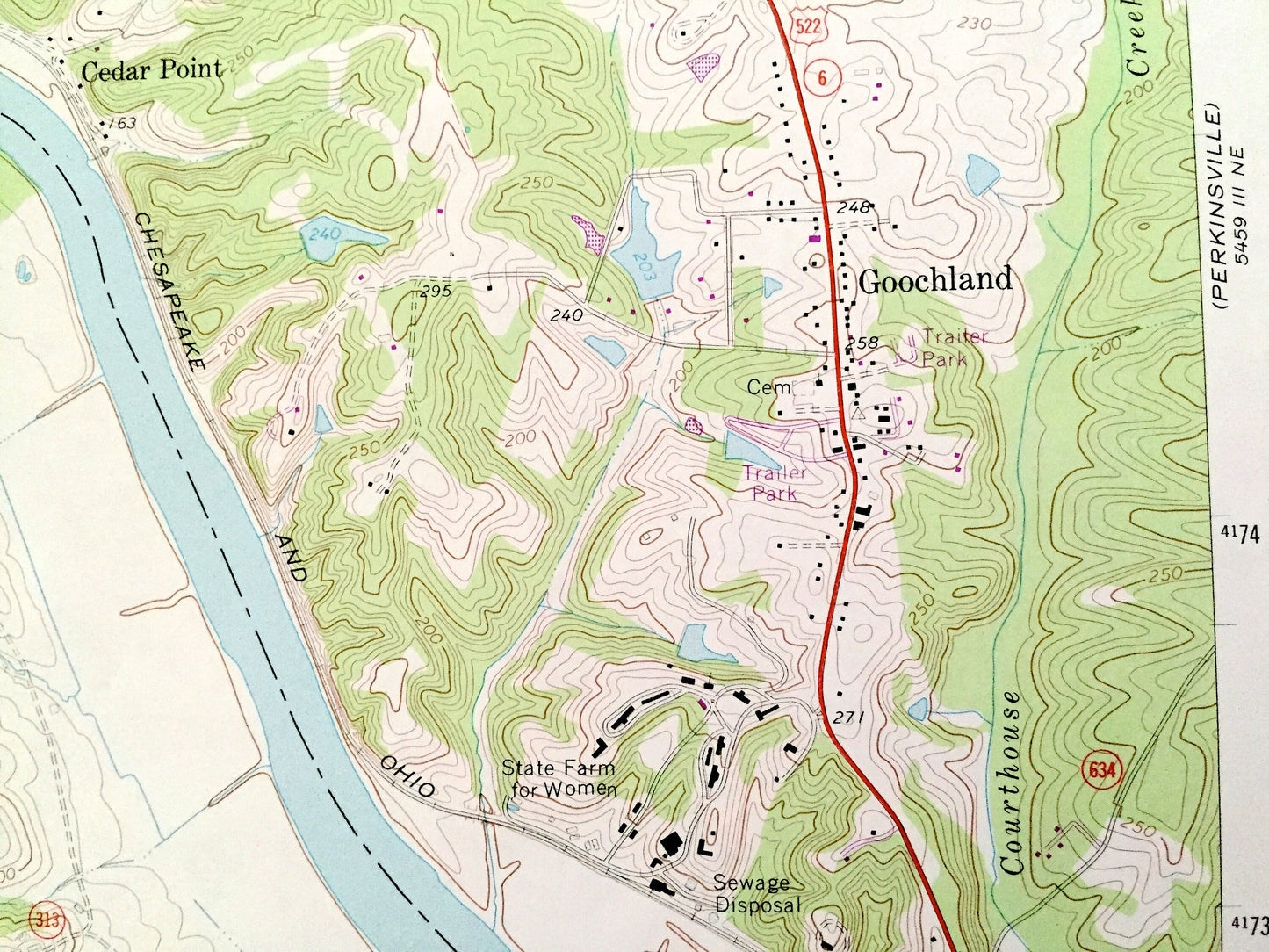
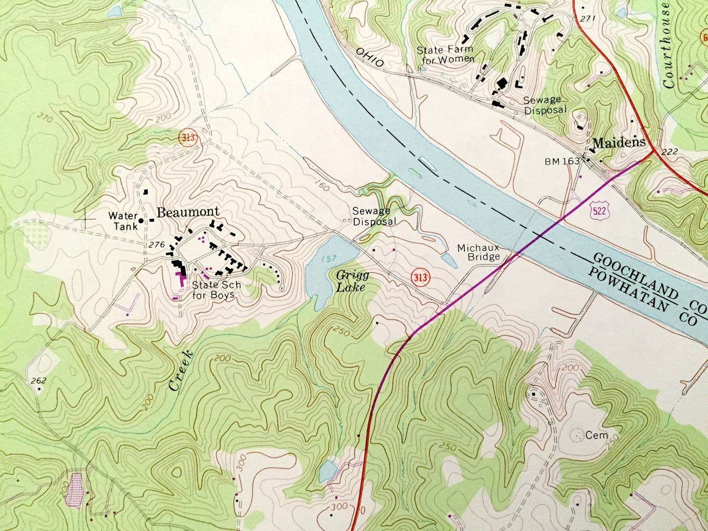
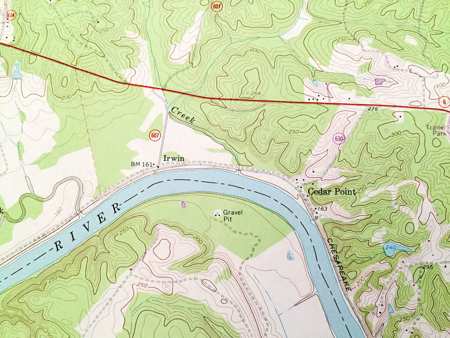
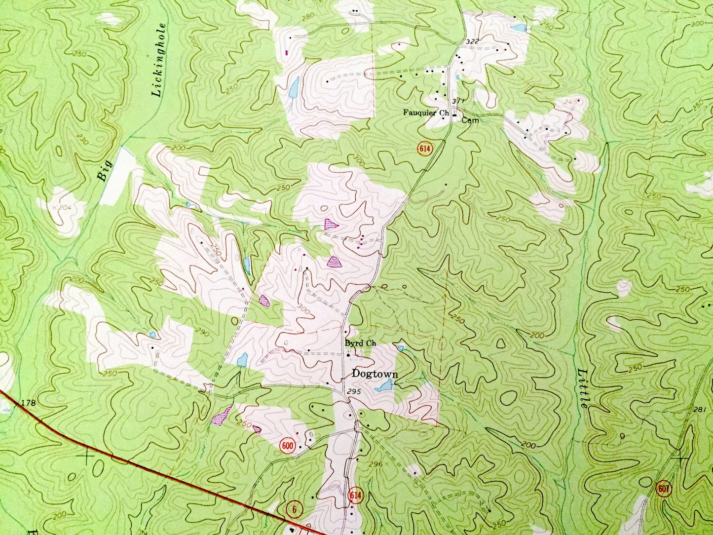
See what Virginia looked like over 50 years ago. Lots of intricate details and geological contours. Map even has little squares for every house that existed at the time. The USGS cartographers were very thorough back then!
Perfect for the historian, map-lover, the curious or just as a conversation starter. Wonderful and rare. Vintage maps such as these make great gifts.
Edition of 1968, printed 1977
Dimensions: 22" width x 27" height
----
Features
Cities & Towns: Goochland, Dogtown, Irwin, Cedar Point, Maidens, Rock Castle, Beaumont, Michaux, Three Square.
Points of Interest: Goochland County, Powhatan County, James River, Powhatan State Park, Little Lickinghole Creek, Courthouse Creek, State Farm, Walkers Creek, Maidens Bridge, Big Lickinghole Creek, Cheneys Creek, Mohawk Creek, site of Orapax Hunting Preserve, Leakes Mill Park, Tucker Park, Virginia Correctional Facility for Women, James River Detention Home, Kelona Farm Pond, and lots more hills, creeks, ponds, houses, churches, schools and roads.
Condition: Good Vintage condition, commensurate with age. This map is in great shape for being over 45 years old. Has light wear, but this will read as vintage character when framed.
----
We will happily adjust shipping price for multiple purchases. Maps are rolled up and shipped in sturdy mailing tubes, never folded.
Couldn't load pickup availability
Share