My Store
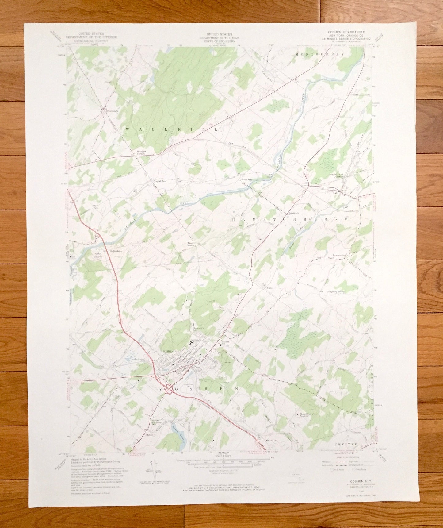
Antique Goshen, New York 1957 US Geological Survey Topographic Map – Orange County, Wallkill, Montgomery, Hamptonburgh, Blooming Grove, NY
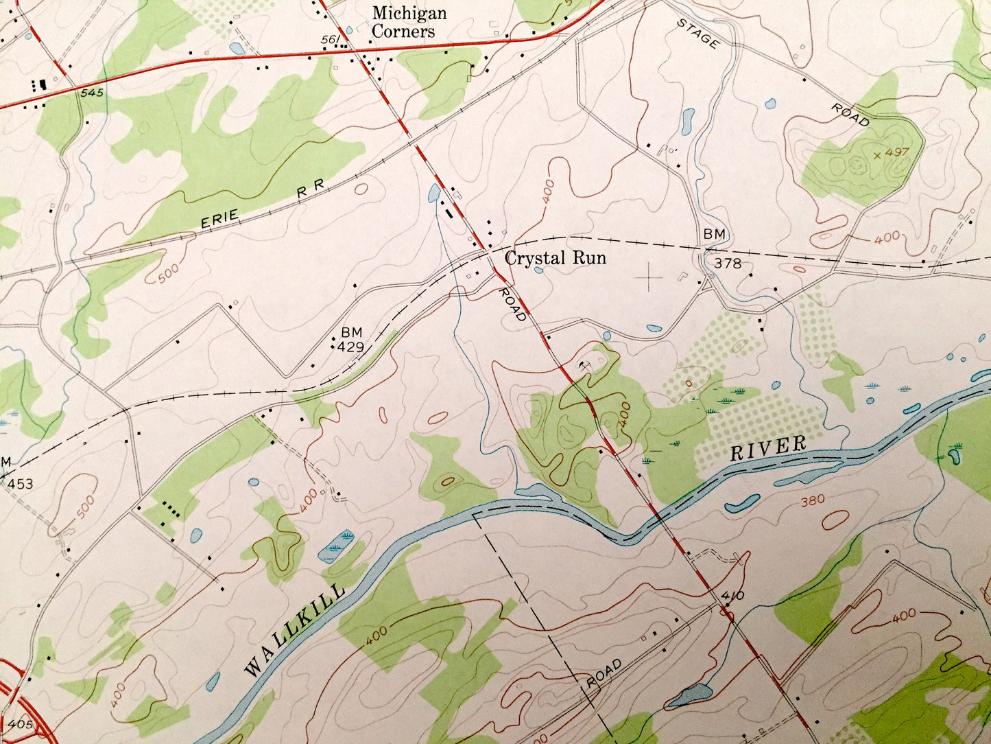
Antique Goshen, New York 1957 US Geological Survey Topographic Map – Orange County, Wallkill, Montgomery, Hamptonburgh, Blooming Grove, NY
Beautiful, antique map of Goshen, New York and surrounding Orange County. This is an authentic 1957 edition, 1972 print from the U.S. Geological Survey and NOT a computer reproduction.
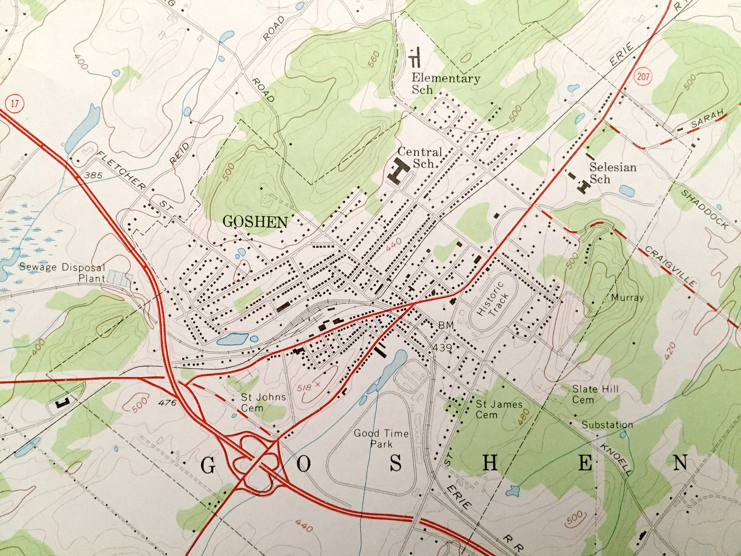
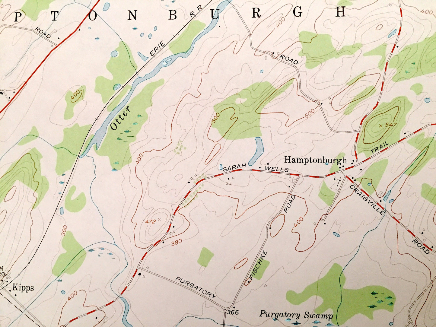
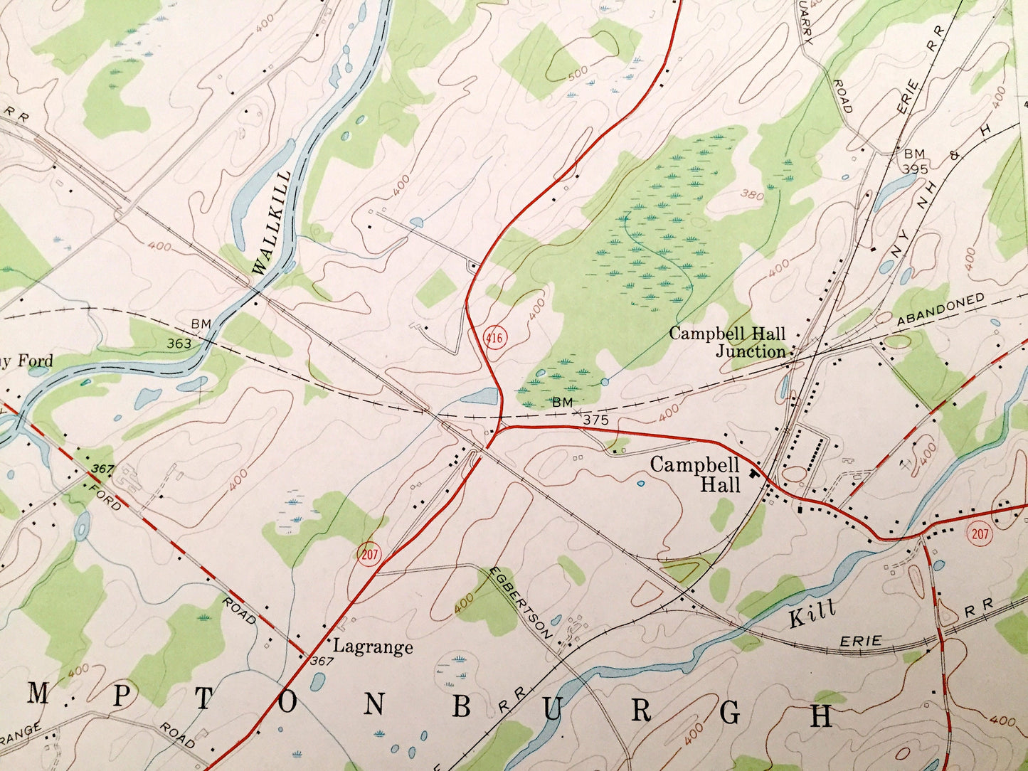
See what New York looked like over 60 years ago. Lots of intricate details and geological contours. Map even has little squares for every house that existed at the time. The USGS cartographers were very thorough back then!
Perfect for the historian, map-lover, the curious or just as a conversation starter. Wonderful and rare. Vintage maps such as these make great gifts.
Edition of 1957, printed 1972
Dimensions: 22" width x 27" height
----
Features
Cities & Towns: Chester, Montgomery, Scotchtown, Michigan Corners, Crystal Run, Stony Ford, Campbell Hall Junction, Campbell Hall, Lagrange, Phillipsburg, Four Corners, Kipps, Wawayanda, Howell, Otter Kill.
Points of Interest: Blessed Sacrament Academy, Goshen Christian School, Good Time Park, Wallkill River, Otter Kill, Goshen Reservoir, Mannayunk Kill, Purgatory Swamp, Black Meadow Creek, and many more hills, streams, ponds, houses, schools, railroads, churches and roads.
Condition: Very Good Vintage condition, commensurate with age. This map is in great shape for being over 45 years old. Has subtle edge-wear but will read as character when framed.
----
We will happily adjust shipping price for multiple purchases. Maps are rolled up and shipped in sturdy mailing tubes, never folded.
Couldn't load pickup availability
Share