My Store
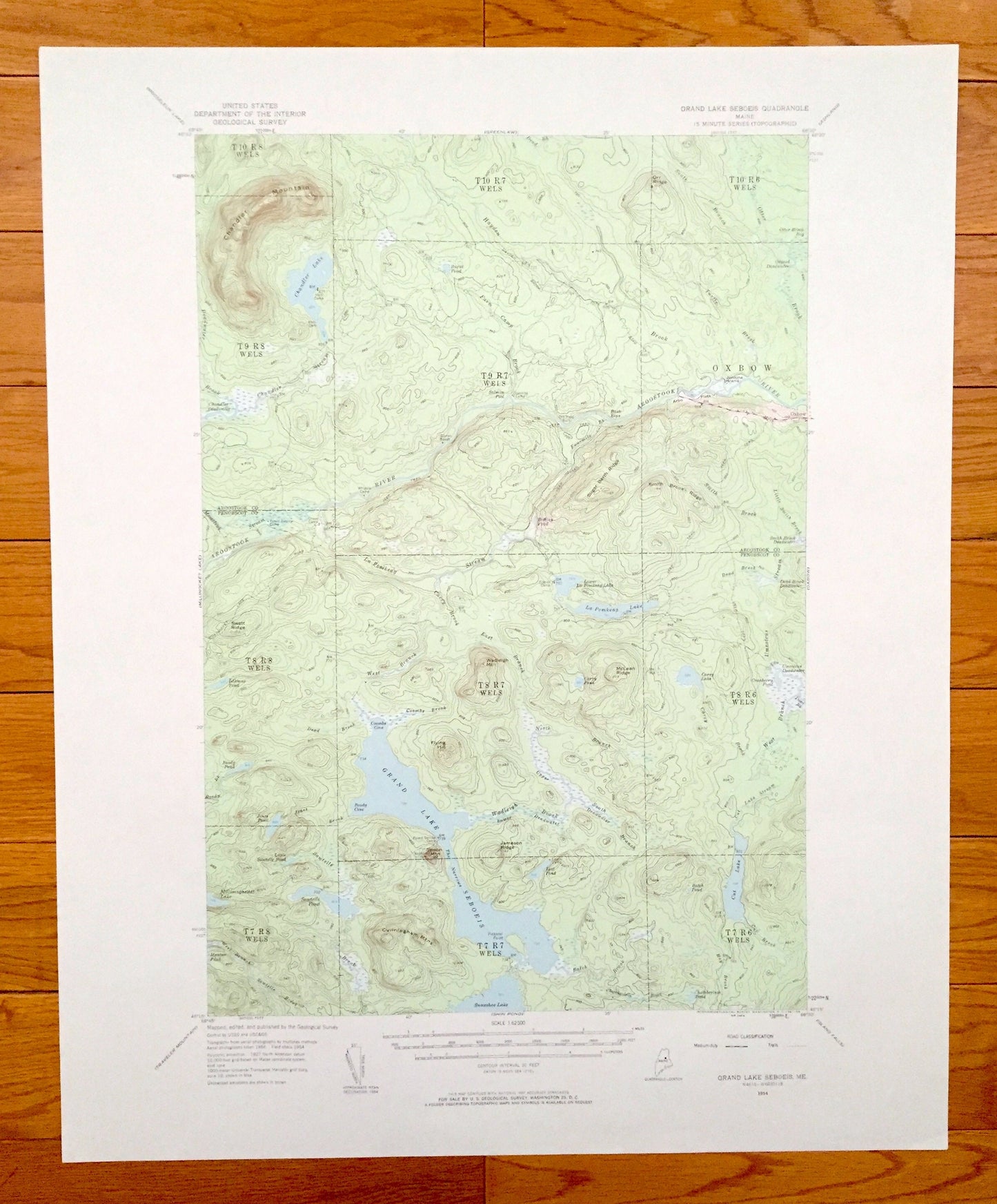
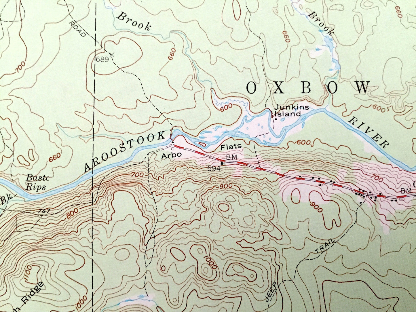
Antique Grand Lake Seboeis, Maine 1954 US Geological Survey Topographic Map – Aroostook, Penobscot County, Wadleigh, Chandler, Oxbow, ME
Antique Grand Lake Seboeis, Maine 1954 US Geological Survey Topographic Map – Aroostook, Penobscot County, Wadleigh, Chandler, Oxbow, ME
Beautiful, antique map of Grand Lake Seboeis, Maine and surrounding Aroostook & Penobscot County area. This is an authentic 1954 edition, 1961 print from the U.S. Geological Survey and NOT a computer reproduction.
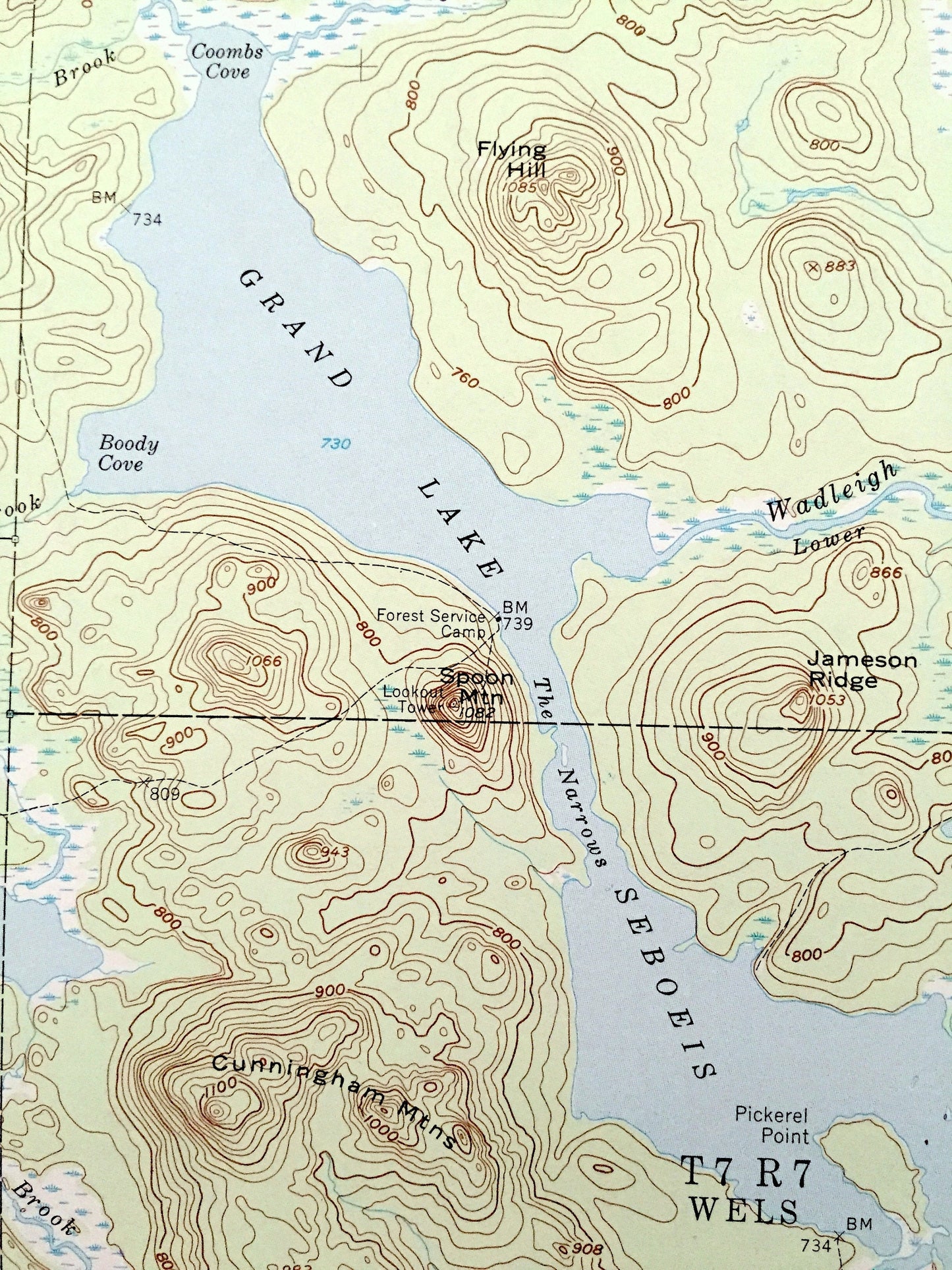
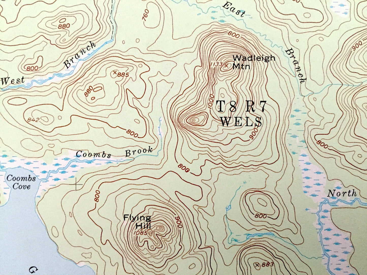
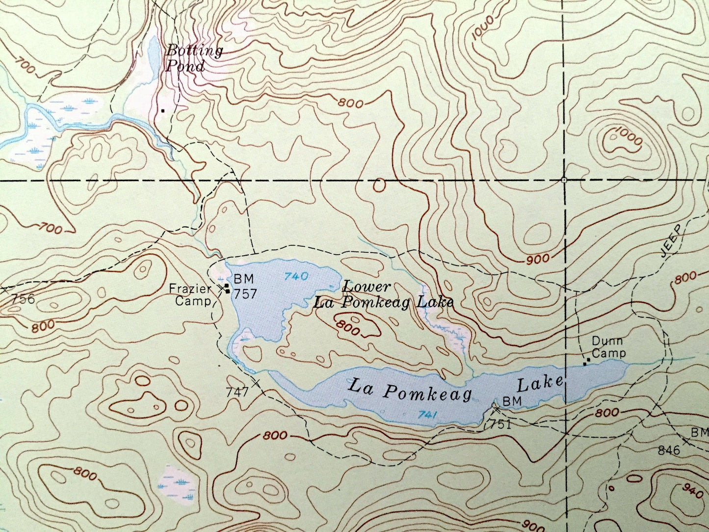
See what Maine looked like over 60 years ago. Lots of intricate details and geological contours. Map even has little squares for every house that existed at the time. The USGS cartographers were very thorough back then!
Perfect for the historian, map-lover, the curious or just as a conversation starter. Wonderful and rare. Vintage maps such as these make great gifts.
Edition of 1954, printed 1961
Dimensions: 18" width x 22" height
----
Features
Points of Interest: Aroostook County, Penobscot County, Oxbow, Grand Lake Seboeis, Aroostook River, Cut Lake, La Pomkeag Lake, Chandler Mountain, Sugar Berth Ridge, Smith Brook Ridge, Wadleigh Mountain, McLean Ridge, Spoon Mountain, Cunningham Mountains, Coombs Cove, Boody Cove, The Narrows, Showshoe Lake and many more streams, ponds and mountains.
Condition: Very Good condition, commensurate with age. This map is in incredible shape for being almost 60 years old.
----
We will happily adjust shipping price for multiple purchases. Maps are rolled up and shipped in sturdy mailing tubes, never folded.
Couldn't load pickup availability
Share