My Store
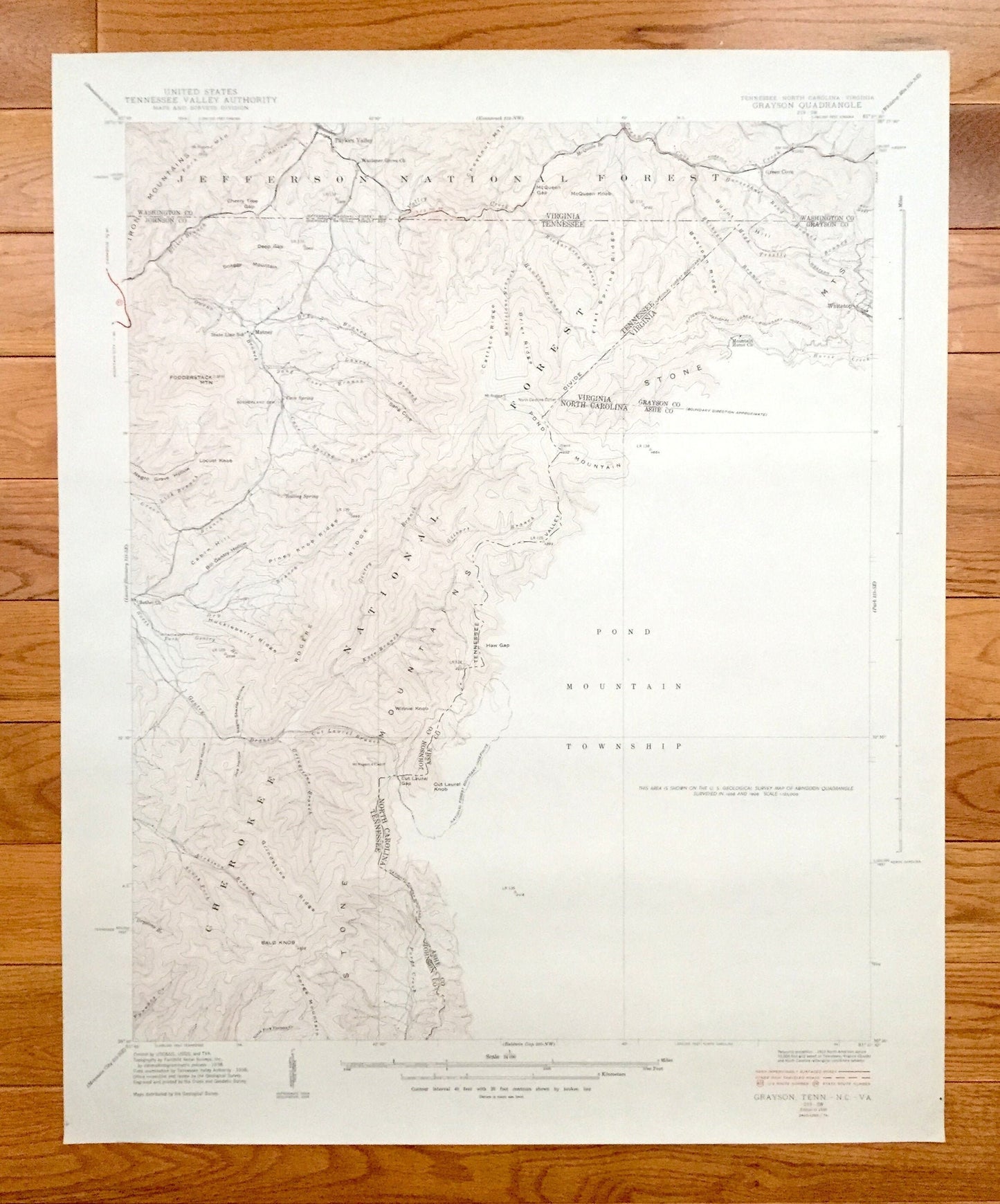
Antique Grayson, Tennessee 1934 US Geological Survey Topographic Map – North Carolina, Virginia, Washington, Johnson, Ashe County, Whitetop
Antique Grayson, Tennessee 1934 US Geological Survey Topographic Map – North Carolina, Virginia, Washington, Johnson, Ashe County, Whitetop
Beautiful, antique map of where Tennessee, North Carolina and Virginia meet, including surrounding Washington, Grayson, Johnson & Ashe County area. This is an authentic 1938 print from the U.S. Geological Survey and NOT a computer reproduction.
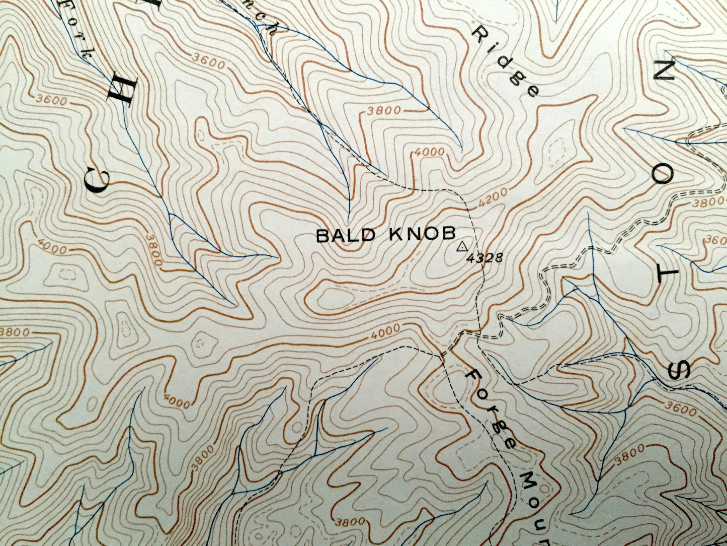
See what Tennessee, North Carolina & Virginia looked like over 80 years ago. Lots of intricate details and geological contours. Map even has little squares for every house that existed at the time. The USGS cartographers were very thorough back then!
Perfect for the historian, map-lover, the curious or just as a conversation starter. Wonderful and rare. Vintage maps such as this make great gifts.
Edition of 1938, printed 1938
Dimensions: 22" width x 27" height
----
Features
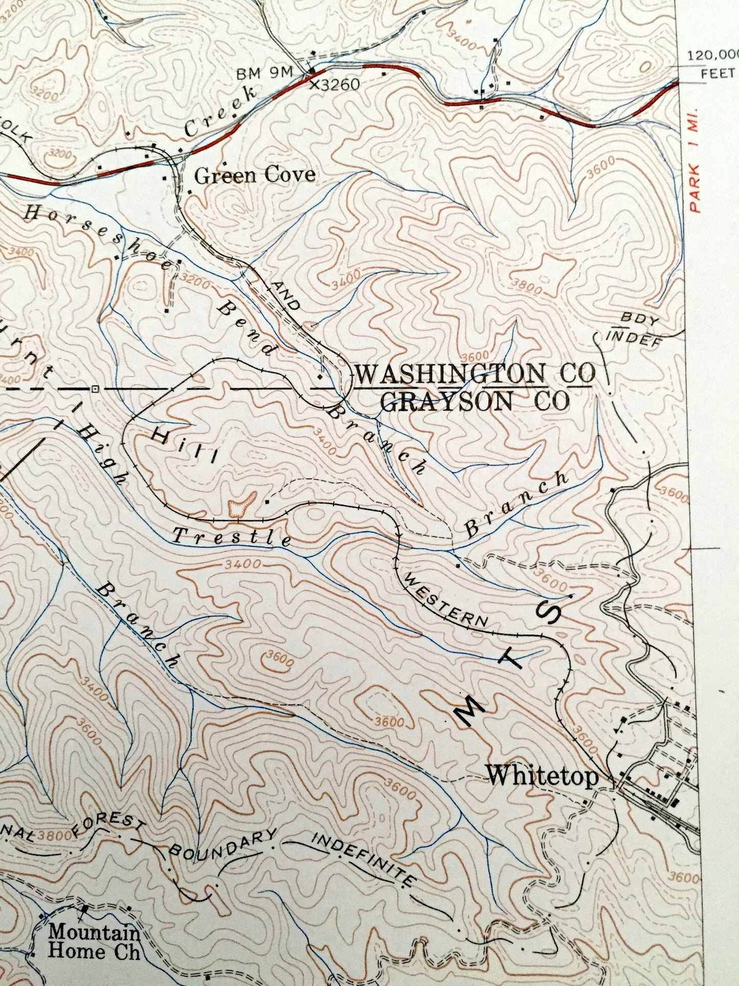
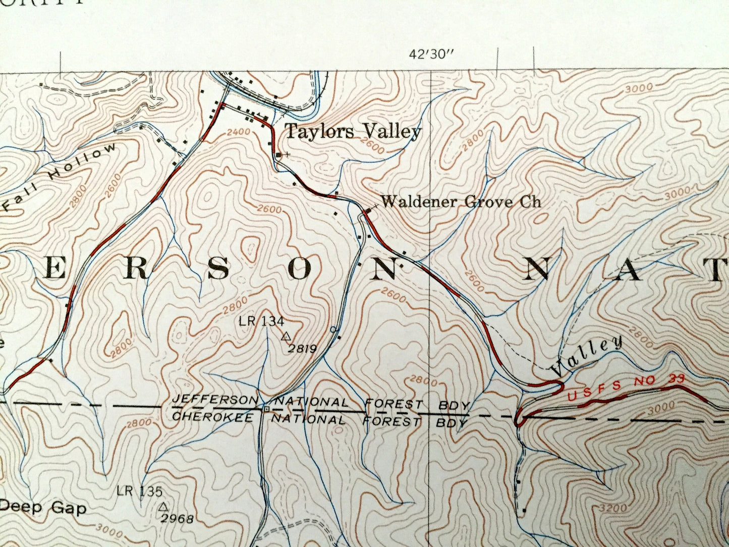
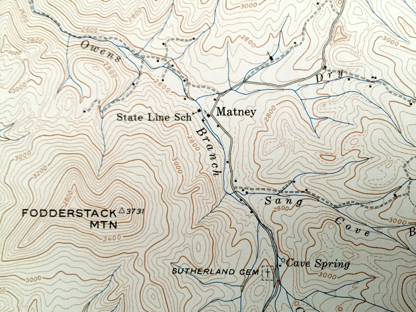
Cities & Towns: Taylors Valley, Matney, Whitetop.
Points of Interest: Washington County, Grayson County, Johnson County, Ashe County, Cherokee National Forest, Jefferson National Forest, Stone Mountains, Bald Knob, Green Creek, Cabin Hill, Grindstone Ridge, Fodderstack Mountain, Snaggy Mountain, and many more hills, hollows, roads, rivers, houses and churches.
Condition: Very Good condition, commensurate with age. This map is in incredible shape for being over 80 years old. Has light wear but this will add to vintage character when framed.
----
We will happily adjust shipping price for multiple purchases. Maps are rolled up and shipped in sturdy mailing tubes, never folded.
Couldn't load pickup availability
Share