My Store
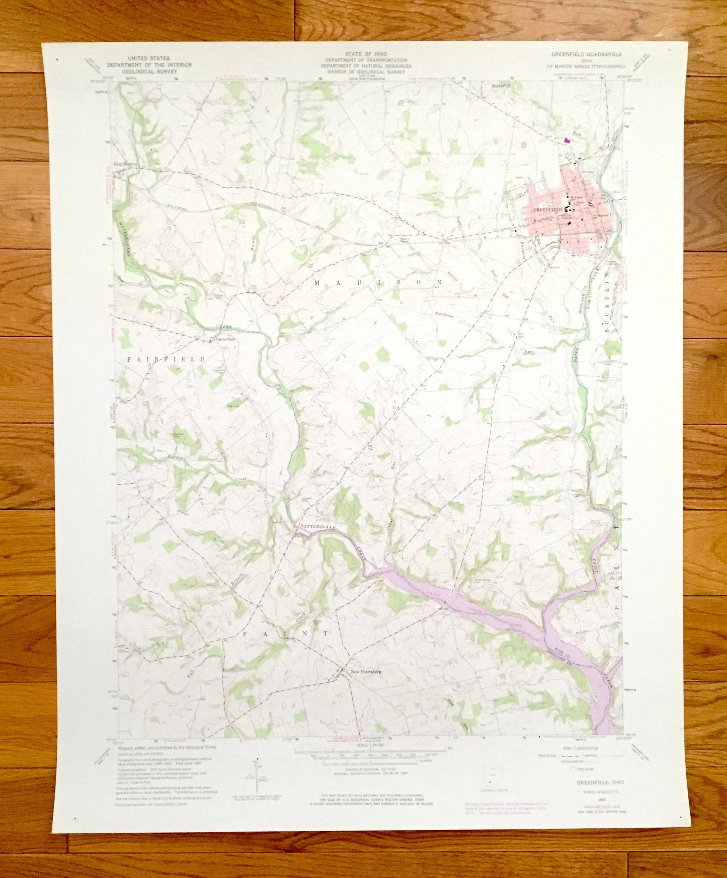
Antique Greenfield, Ohio 1960 US Geological Survey Topographic Map – Highland, Ross County, Madison, Fairfield, Buckskin Paint Creek Lake OH
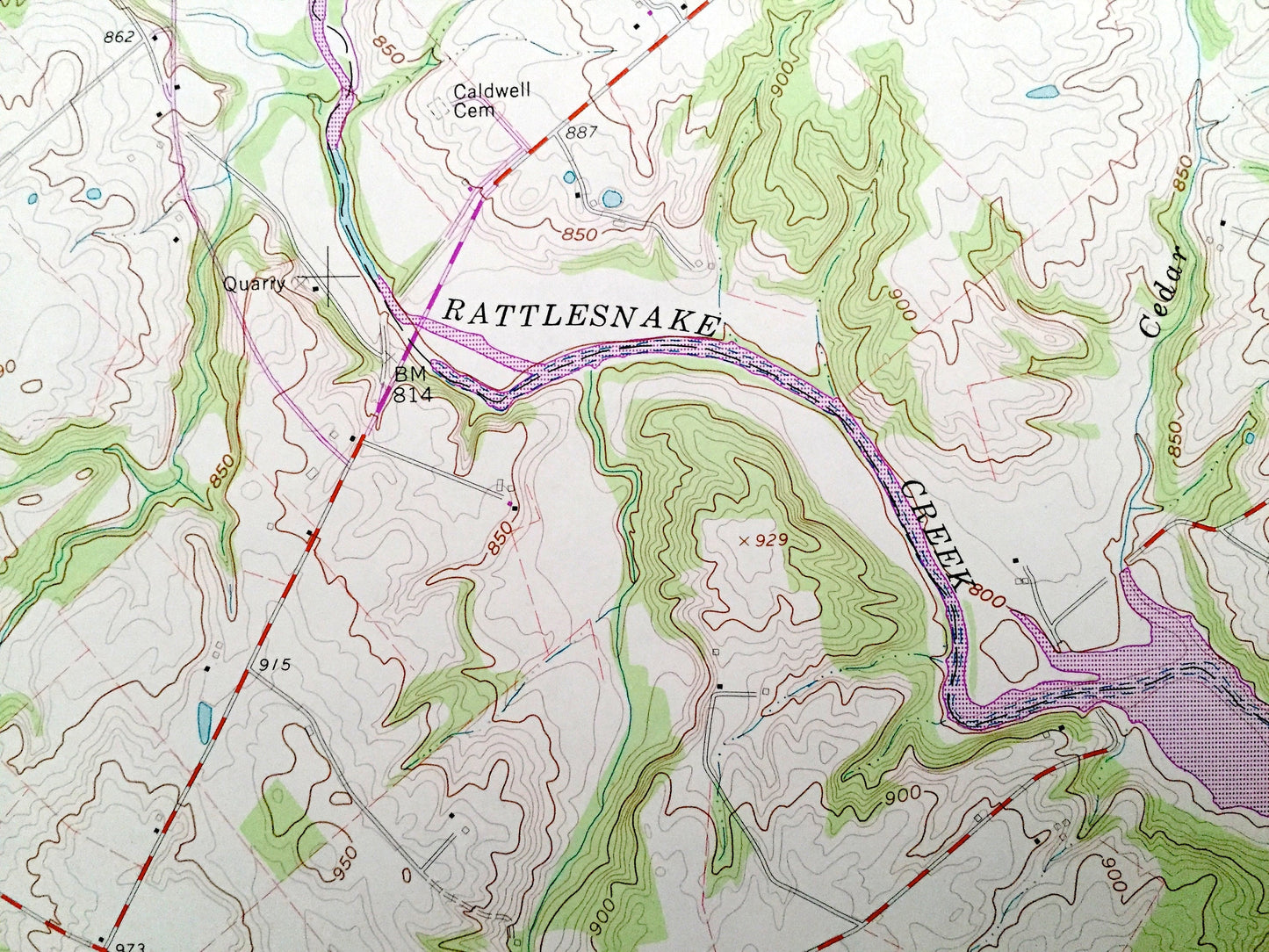
Antique Greenfield, Ohio 1960 US Geological Survey Topographic Map – Highland, Ross County, Madison, Fairfield, Buckskin Paint Creek Lake OH
Beautiful, antique map of Greenfield, Ohio and surrounding Highland & Ross County areas. This is an authentic 1960 edition, 1976 print from the U.S. Geological Survey and NOT a computer reprint.
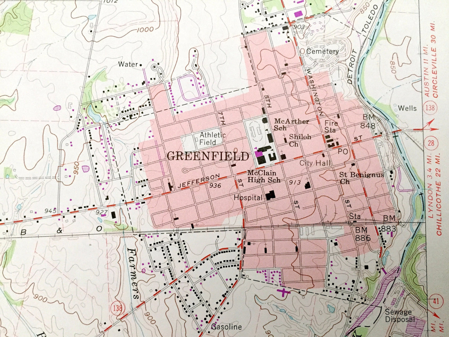
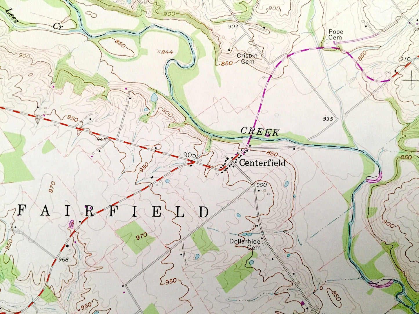
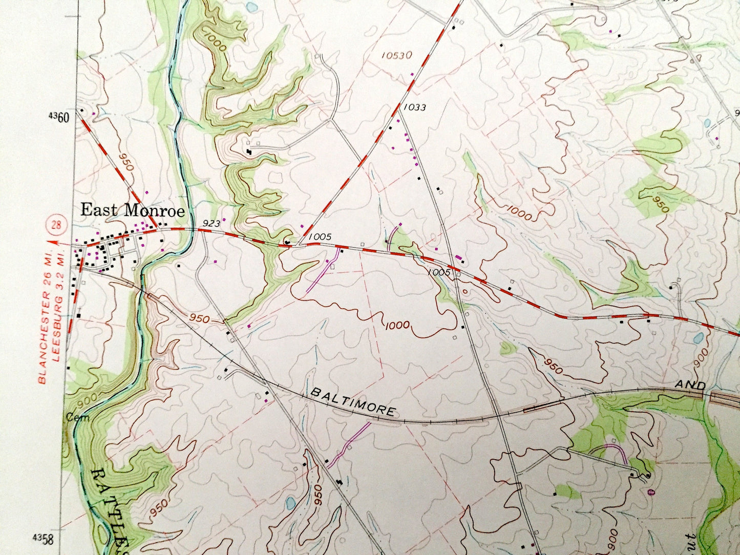
See what Ohio looked like over 60 years ago. Lots of intricate details and geological contours. Map even has little squares for every house that existed. The USGS cartographers were very thorough back then!
Perfect for the historian, map-lover, the curious or just as a conversation starter. Wonderful and rare. Vintage maps such as these make great gifts.
Edition of 1960, printed 1976
Dimensions: 22" width x 27" height
----
Features
Cities & Towns: East Monroe, Centerfield, New Petersburg.
Points of Interest: McClain High School, Paint Creek Lake, Rattlesnake Creek, Hardin Creek, Big Branch, Fall Creek, Walnut Creek, Holliday Run, Paint Creek, Plum Run, Sugar Run, Opossum Run, cemeteries, and many more hills, ditches, streams, creeks, ponds, houses, schools, railroads, churches and roads.
Condition: Very Good Vintage condition, commensurate with age. This map is in great shape for being over 40 years old.
----
We will happily adjust shipping price for multiple purchases. Maps are rolled up and shipped in sturdy mailing tubes, never folded.
Couldn't load pickup availability
Share