My Store
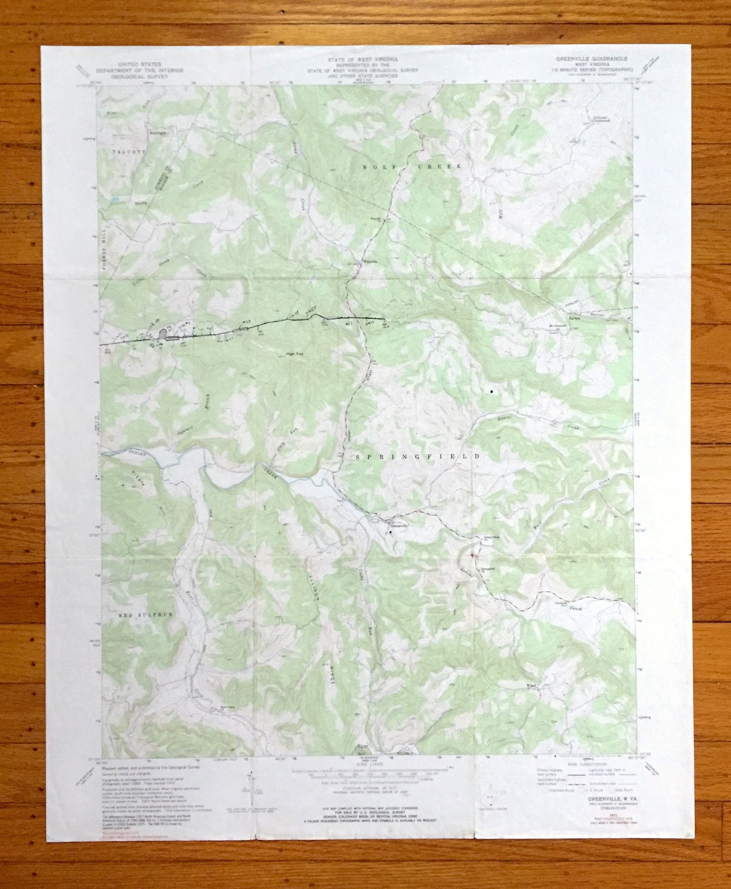
Antique Greenville, West Virginia 1971 US Geological Survey Topographic Map – Summers, Monroe County, Talcott, Forest Hill, Wolf Creek, WV
Antique Greenville, West Virginia 1971 US Geological Survey Topographic Map – Summers, Monroe County, Talcott, Forest Hill, Wolf Creek, WV
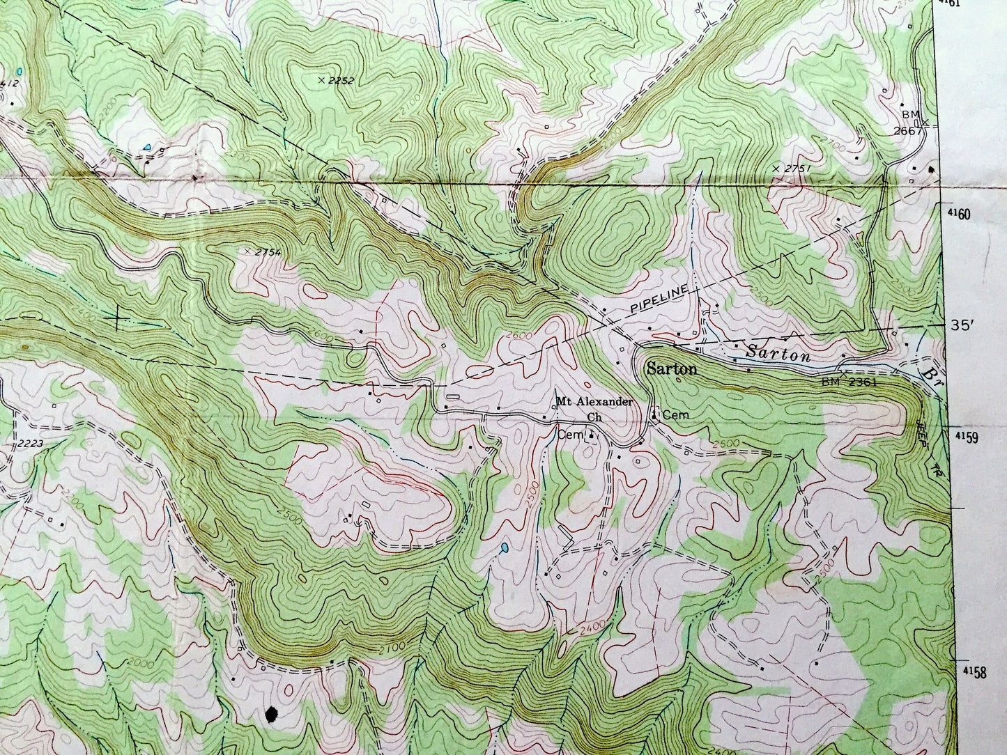
Beautiful, antique map of Greenville, West Virginia and surrounding Summers County and Monroe County areas. This is an authentic 1971 edition, 1991 print from the U.S. Geological Survey and NOT a computer reproduction.
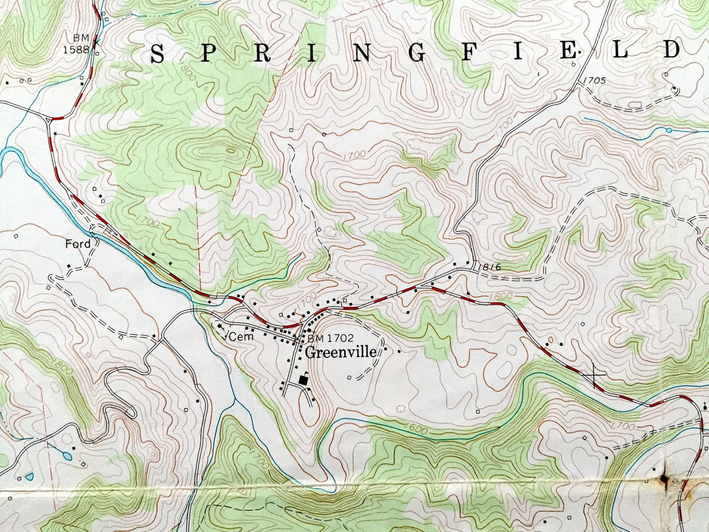
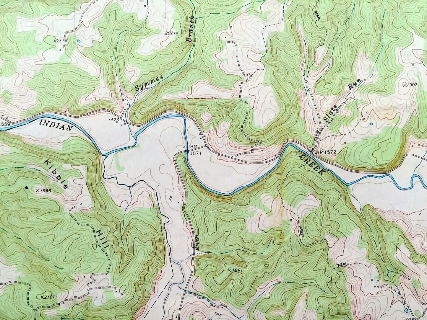
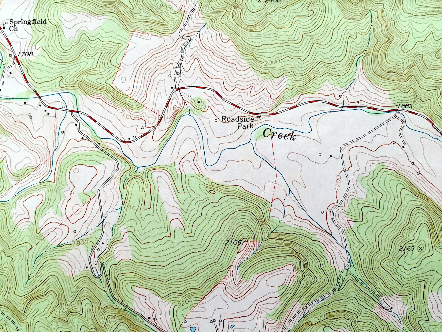
See what West Virginia looked like over 50 years ago. Lots of intricate details and geological contours. Map even has little squares for every house that existed at the time. The USGS cartographers were very thorough back then!
Perfect for the historian, map-lover, the curious or just as a conversation starter. Wonderful and rare. Vintage maps such as these make great gifts.
Edition of 1971, printed 1991
Dimensions: 22" width x 27" height
----
Features
Cities & Towns: Talcott, Wolf Creek, Forest Hill, Springfield, Red Sulphur, Ballengee, Wayside, Johnson Crossroads, Sarton, Wikel.
Points of Interest: Ellison Ridge, Kibble Hill, High Top, Indian Draft, Stony Creek, Little Stony Creek, Wolf Creek, Laurel Creek, Indian Creek, Hans Creek, Back Creek, and many more hills, streams, ponds, houses, schools, railroads, churches and roads.
Condition: Good Vintage condition, commensurate with age. This map is in great shape for being over 30 years old. Has edge-wear, few stains, fold creases, and pen and pencil markings on the map itself. This map was most likely used in the field but will read as character when framed.
----
We will happily adjust shipping price for multiple purchases. Maps are rolled up and shipped in sturdy mailing tubes, never folded.
Couldn't load pickup availability
Share