My Store
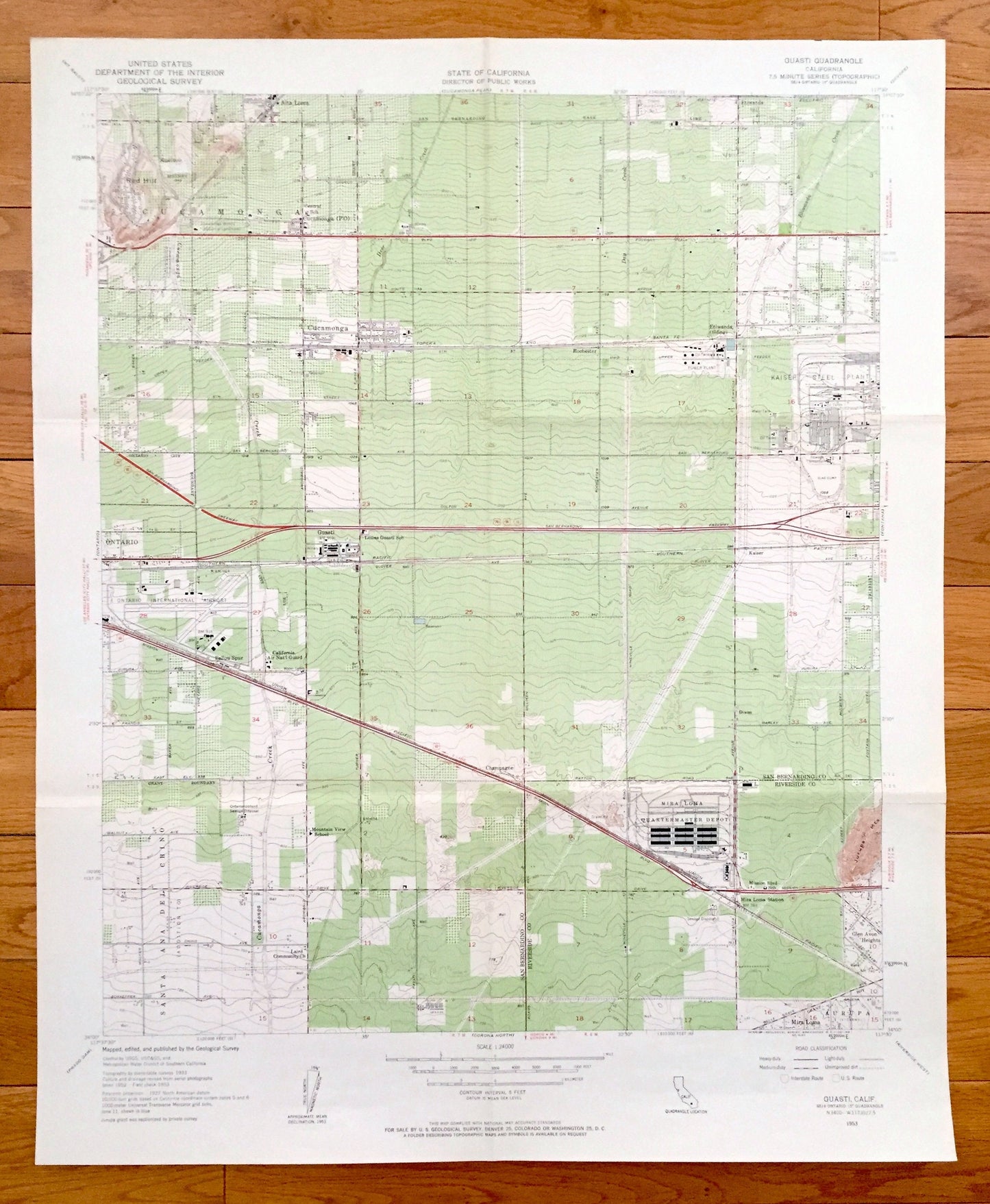
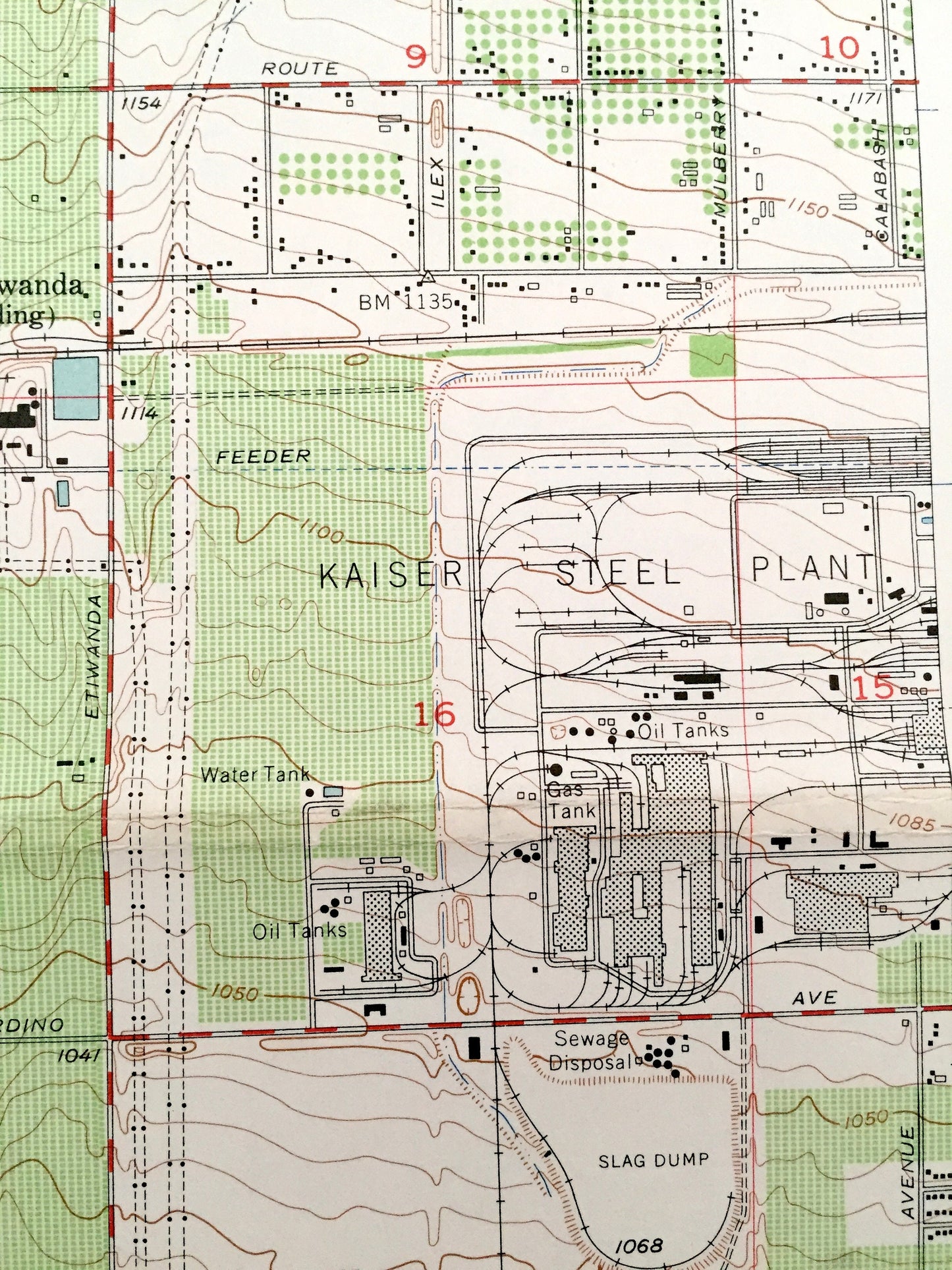
Antique Guasti, California 1953 US Geological Survey Topographic Map – San Bernardino Co, Riverside, Cucamonga, Etiwanda, Jurupa, Mira Loma
Antique Guasti, California 1953 US Geological Survey Topographic Map – San Bernardino Co, Riverside, Cucamonga, Etiwanda, Jurupa, Mira Loma
Beautiful, antique map of Guasti, California and surrounding San Bernardino and Riverside County area. This is an authentic 1953 print from the U.S. Geological Survey and NOT a computer reproduction.
See what California looked like 65 years ago. Lots of intricate details and geological contours. Map even has little squares for every house that existed at the time. The USGS cartographers were very thorough back then!
Perfect for the historian, map-lover, the curious or just as a conversation starter. Wonderful and rare. Vintage maps such as these make great gifts.
Edition of 1953, printed 1953
Dimensions: 22" width x 27" height
----
Features
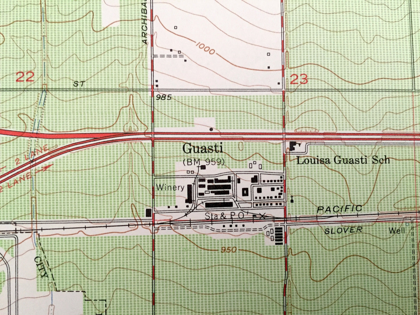
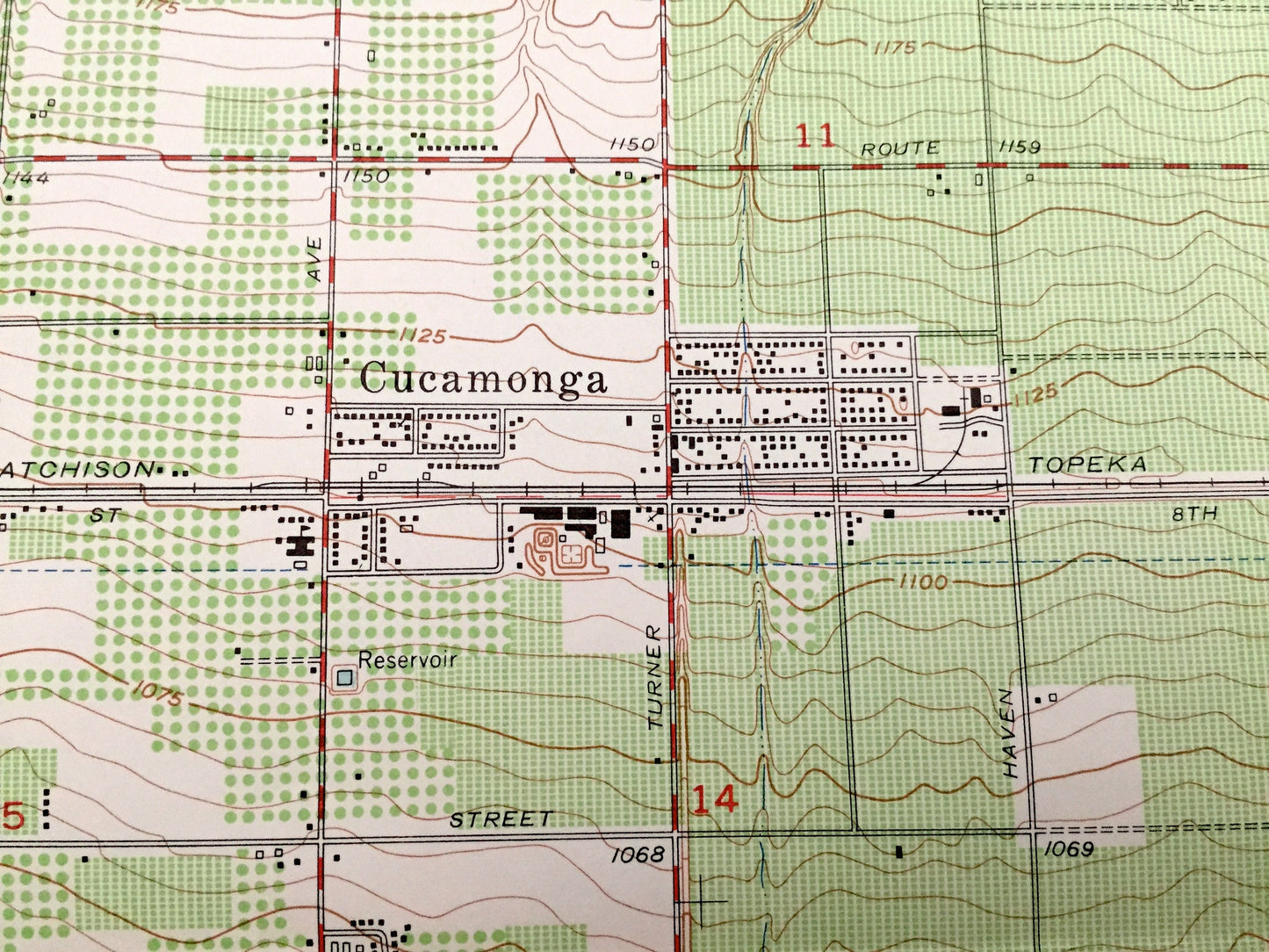
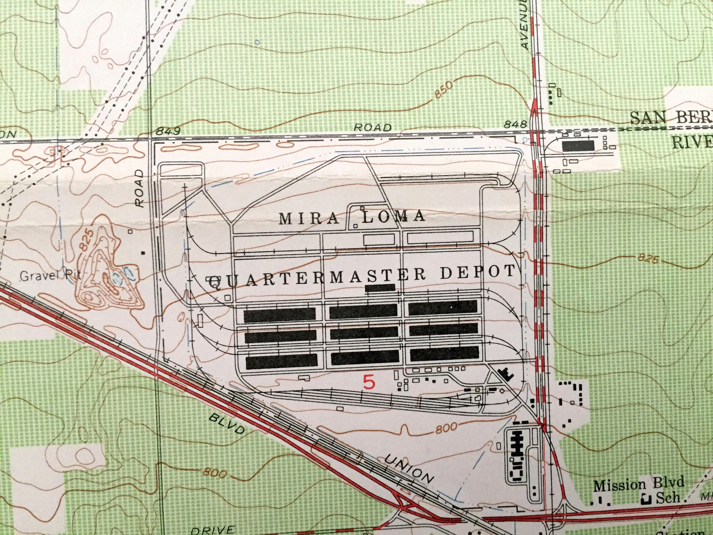
Cities & Towns: Guasti, Cucamonga, Alta Loma, Etiwanda, Kaiser, Ballou, Champagne, Santa Ana del Chino, Mira Loma, Jurupa, Glen Avon Heights, Rochester.
Points of Interest: Red Hill, East Etiwanda Creek, Atchison Topeka and Santa Fe Railway, Cucamonga Creek, Southern Pacific Railroad, Kaiser Steel Plant, Ontario International Airport, Union Pacific Railroad, Jurupa Mountains, Mira Loma Quartermaster Depot, and many more hills, streams, ponds, houses, schools, churches and roads.
Condition: Very Good condition, commensurate with age. This map is in incredible shape for being 65 years old. Has some fold marks, but this will read as vintage character when framed.
----
We will happily adjust shipping price for multiple purchases. Maps are rolled up and shipped in sturdy mailing tubes, never folded.
Couldn't load pickup availability
Share