My Store
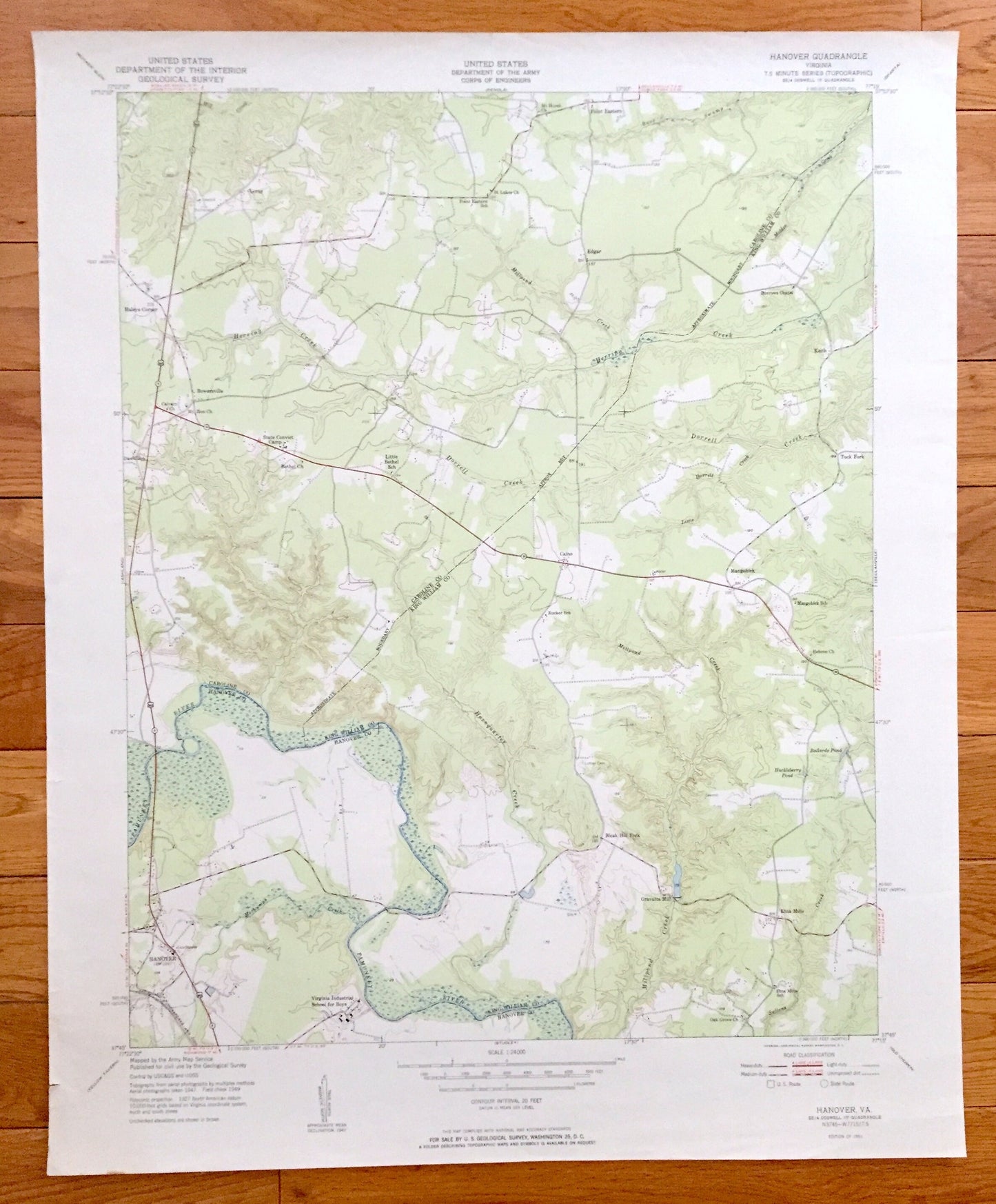
Antique Hanover, Virginia 1951 US Geological Survey Topographic Map – Hanover County, Tuck Fork, Etna Mills, Edgar, Mangohick, Point Eastern
Antique Hanover, Virginia 1951 US Geological Survey Topographic Map – Hanover County, Tuck Fork, Etna Mills, Edgar, Mangohick, Point Eastern
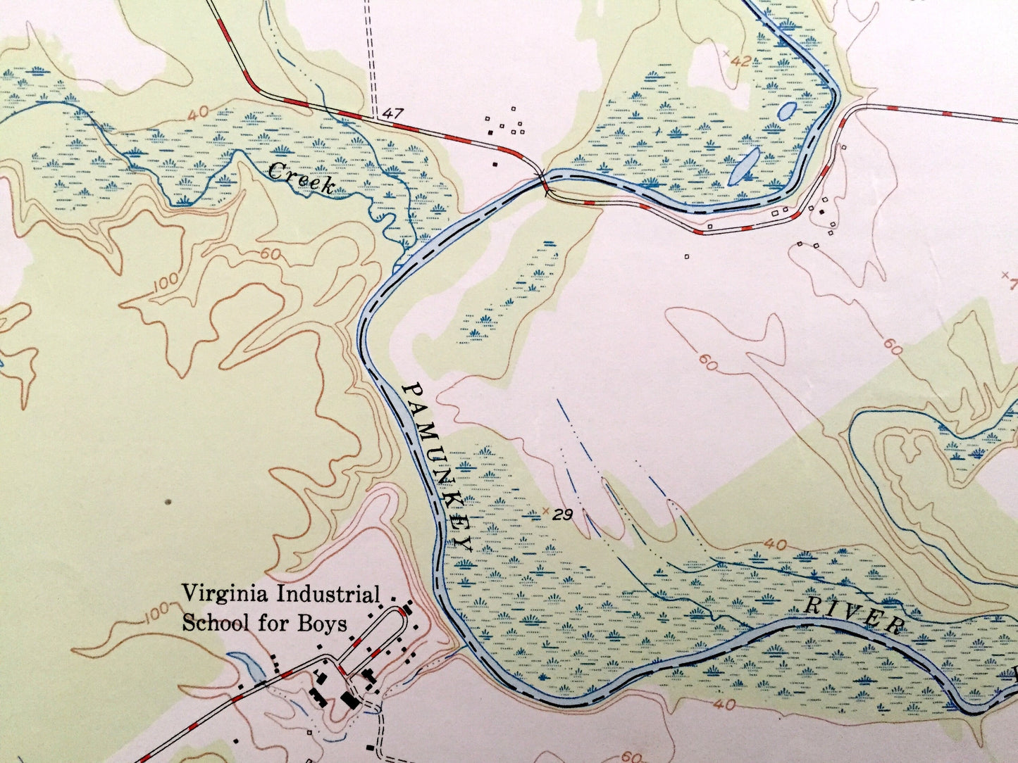
Beautiful, antique map of Hanover, Virginia and surrounding Hanover, Prince William, and Caroline County area. This is an authentic 1951 print from the U.S. Geological Survey and NOT a computer reproduction.
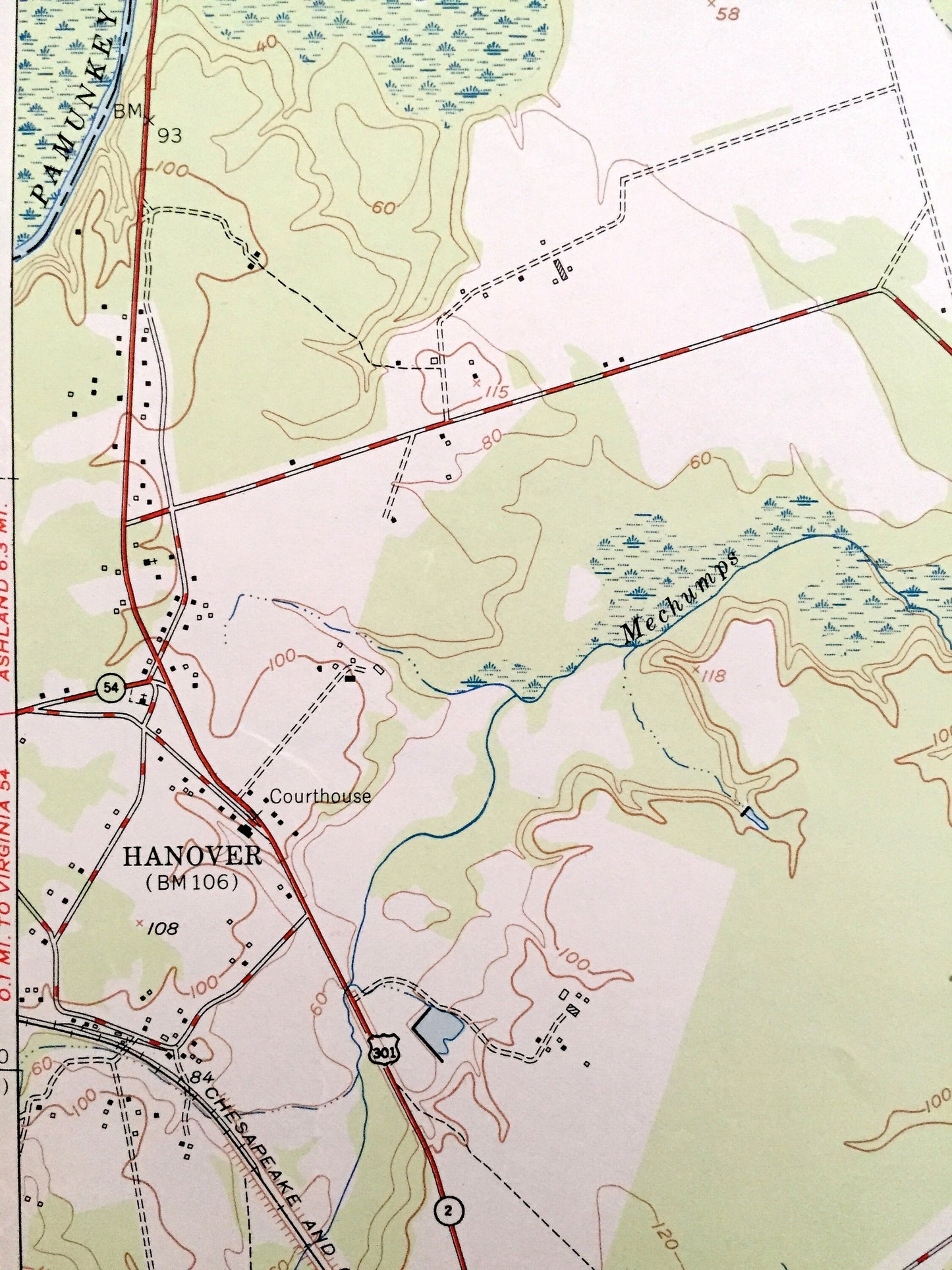
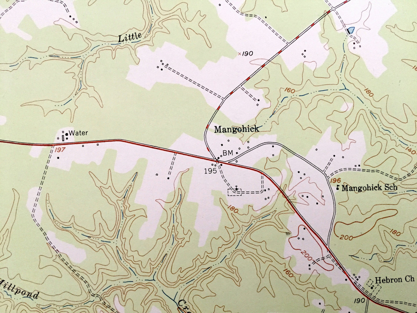
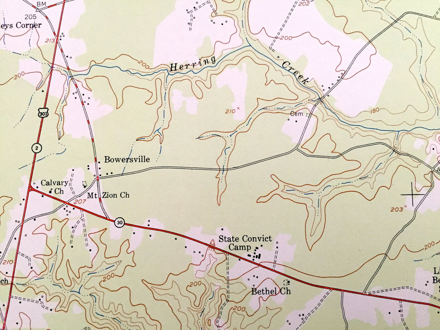
See what Virginia looked like almost 70 years ago. Lots of intricate details and geological contours. Map even has little squares for every house that existed at the time. The USGS cartographers were very thorough back then!
Perfect for the historian, map-lover, the curious or just as a conversation starter. Wonderful and rare. Vintage maps such as these make great gifts.
Edition of 1951, printed 1951
Dimensions: 22" width x 27" height
----
Features
Cities & Towns: Hanover, Gravatts Mills, Etna Mills, Bleak Hill Fork, Mangohick, Tuck Fork, Calno, Keith, Point Eastern, Edgar, Bowersville, Haleys Corner, Lorne.
Points of Interest: Pamunkey River, Hornquarter Creek, Huckleberry Pond, Ballards Pond, Herring Creek, Dorrell Creek, and many more hills, streams, ponds, houses, schools, churches and roads.
Condition: Very Good condition, commensurate with age. This map is in incredible shape for being almost 70 years old.
----
We will happily adjust shipping price for multiple purchases. Maps are rolled up and shipped in sturdy mailing tubes, never folded.
Couldn't load pickup availability
Share