My Store
Antique Hart, Michigan 1959 US Geological Survey Topographic Map – Oceana County, Golden, Benona, Shelby, Manistee Marquette State Forest MI
Antique Hart, Michigan 1959 US Geological Survey Topographic Map – Oceana County, Golden, Benona, Shelby, Manistee Marquette State Forest MI
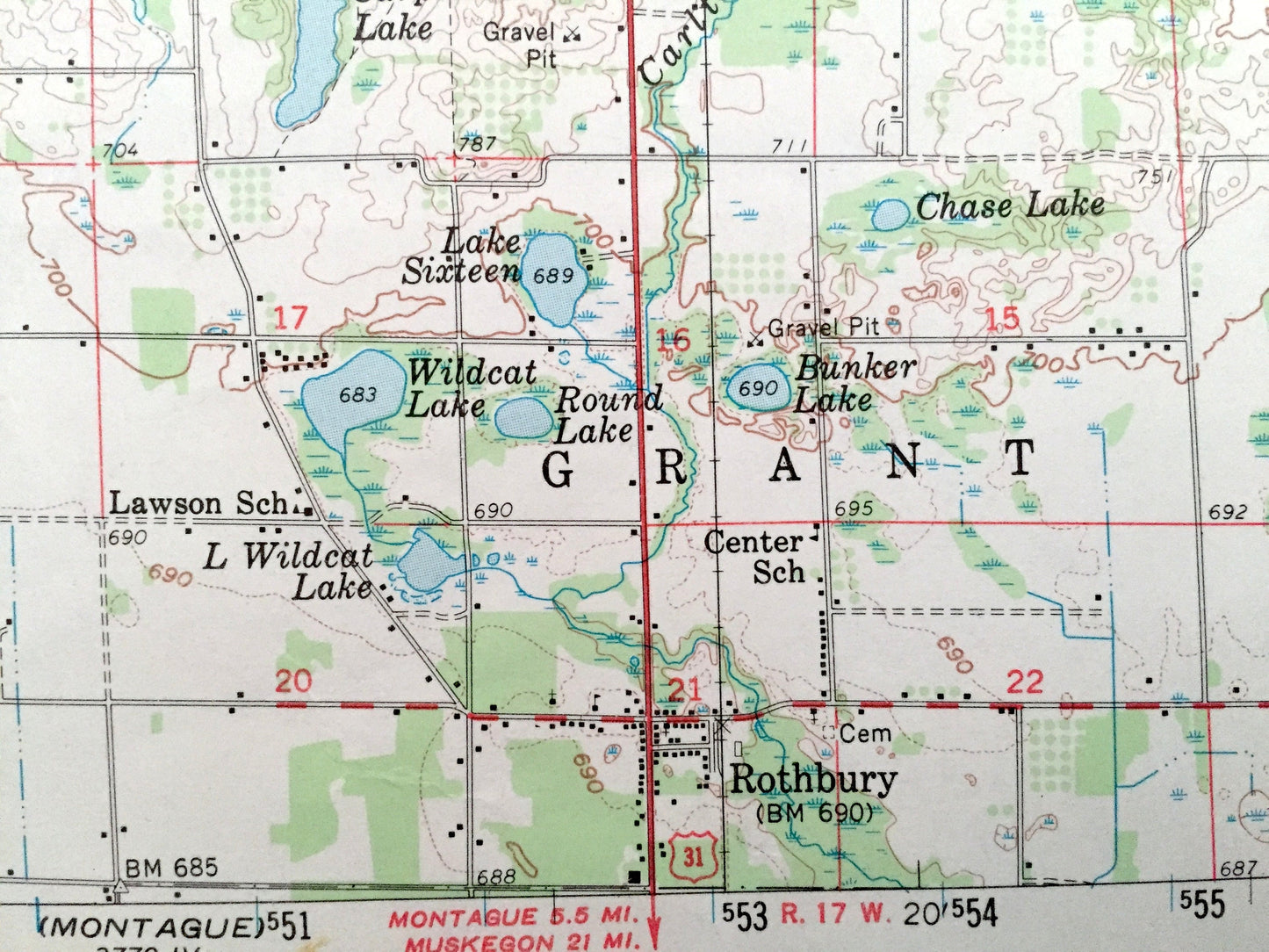
Beautiful, antique map of Hart, Michigan and surrounding Oceana County area on Lake Michigan. This is an authentic 1959 edition, 1968 print from the U.S. Army Corps of Engineers and NOT a computer reproduction.
See what Michigan looked like over 60 years ago. Lots of intricate details and geological contours. Map even has little squares for every house that existed at the time. The USGS cartographers were very thorough back then! Map has a cool kind of circular pattern overlain the terrain.
Perfect for the historian, map-lover, the curious or just as a conversation starter. Wonderful and rare. Vintage maps such as this make great gifts.
Edition of 1959, printed 1968
Dimensions: 17" width x 21" height
----
Features
Cities & Towns: Hart, Pentwater, Weare, Crystal, Elbridge, Golden, Benona, Shelby, Ferry, Claybanks, Grant, Little Point Sable, Rothbury, New Era.
Points of Interest: Oceana County, Lake Michigan, Silver Lake, Little Sable Point, Stony Lake, Hart Lake, Crystal Lake, Pere Marquette State Forest, Manistee National Forest, Silver Lake State Park, Au Sable Creek, Huftile Creek, Piper Creek and many more small towns, houses, schools, train tracks, roads, hills and creeks.
Condition: Very Good Vintage condition, commensurate with age. This map is in great shape for being over 50 years old. Has some edge-wear and pen mark, but this will add to vintage character when framed.
----
We will happily adjust shipping price for multiple purchases. Maps are rolled up and shipped in sturdy mailing tubes, never folded.
Couldn't load pickup availability
Share