My Store
Antique Hays, Kansas 1896 US Geological Survey Topographic Map – Ellis, Big Creek, Catherine, Hartsook, Walker Paradise Victoria Lacrosse KS
Antique Hays, Kansas 1896 US Geological Survey Topographic Map – Ellis, Big Creek, Catherine, Hartsook, Walker Paradise Victoria Lacrosse KS
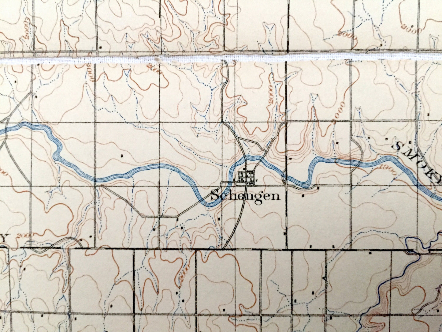
Beautiful, antique map of Hays, Kansas and surrounding Ellis, Rush, Russell and Barton County areas. This is an authentic 1896 edition, 1924 print from the U.S. Geological Survey and NOT a computer reproduction.
See what Kansas looked like 125 years ago. Lots of intricate details and geological contours. Map even has little squares for every house that existed at the time. The USGS cartographers were very thorough back then! At some point the map was canvas-backed and split into quadrants, perhaps for field work.
Perfect for the historian, map-lover, the curious or just as a conversation starter. Wonderful and rare. Maps such as these make great gifts.
Edition of 1896, printed 1924
Dimensions: 16" width x 20" height
----
Features
Cities & Towns: Hays, Smoky Hill, Lookout, Wheatland, Freedom, Winterset, Grant, Walnut, Lone Star, Lacrosse, Brookdale, Big Timber, Illinois, Pleasantdale, Alexander, Hampton, Bison, Gorham, Liebenthal, Ellis, Big Creek, Catherine, Hartsook, Walker, Paradise, Victoria, Fairview.
Points of Interest: Ellis County, Rush County, Russell County, Barton County, Smoky Hill River, Lookout Hollow, Hungry Hollow, Sand Creek, Booth Creek and lots more hills, creeks, lakes, towns, schools, churches, roads and train tracks.
Condition: Good Vintage condition, commensurate with age. This map is in great shape for being over 95 years old. Has light wear but this will add to vintage character when framed.
----
We will happily adjust shipping price for multiple purchases. Map will be shipped folded to preserve integrity.
Couldn't load pickup availability
Share