My Store
Antique Hendrickson, Missouri 1966 US Geological Survey Topographic Map – Wayne, Butler County, Collins Store, Mark Twain National Forest MO
Antique Hendrickson, Missouri 1966 US Geological Survey Topographic Map – Wayne, Butler County, Collins Store, Mark Twain National Forest MO
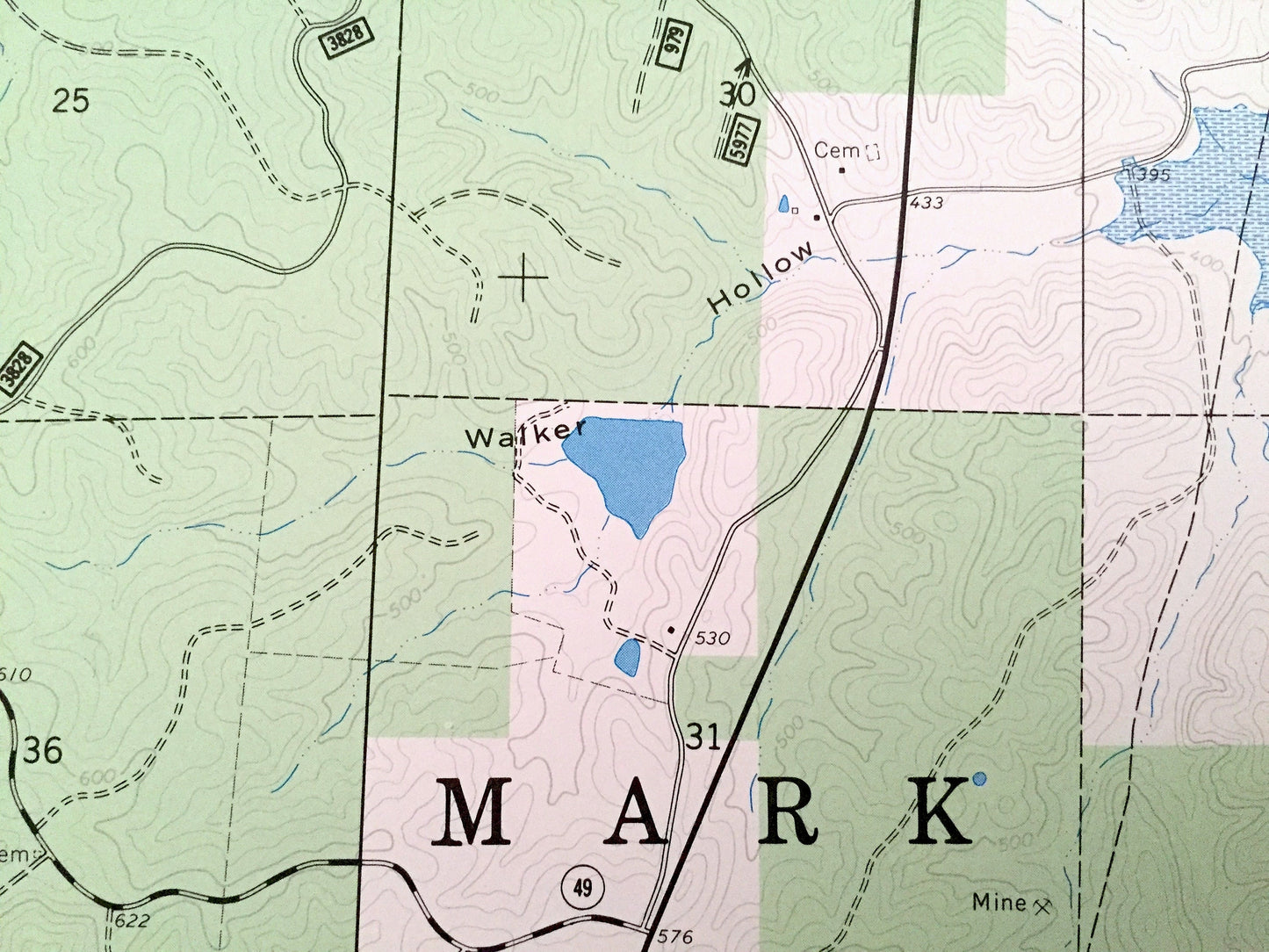
Beautiful, antique map of Hendrickson, Missouri and surrounding Wayne & Butler County areas. This is an authentic 1966 edition, 1967 print from the U.S. Geological Survey and NOT a computer reproduction.
See what Missouri looked like over 50 years ago. Lots of intricate details and geological contours. Map even has little squares for every house that existed at the time. The USGS cartographers were very thorough back then!
Perfect for the historian, map-lover, the curious or just as a conversation starter. Wonderful and rare. Maps such as these make great gifts.
Edition of 1966, printed 1967
Dimensions: 22" width x 27" height
----
Features
Cities & Towns: Collins Store.
Points of Interest: Mark Twain National Forest, Lake Wappapello, St Francis River, Black River, Deer Lick Ridge, Goldbeck Hollow, Walker Hollow, Bear Hollow, Seed Tick Ridge, Pryor Spring Hollow, Magill Hollow, Happy Hollow, Hockinberry Hollow, Heather Hollow, Link Hollow, Milan Hollow, Smoot Hollow, Otter Creek, Wolf Run, West Prong Indian Creek, Bluewater Creek, Asher Creek, Wet Fork, Mink Creek, and many more hills, streams, ponds, houses, schools, railroads, churches and roads.
Condition: Very Good Vintage condition, commensurate with age. This map is in great shape for being over 50 years old. Has light edge-wear but will read as character when framed.
----
We will happily adjust shipping price for multiple purchases. Maps are rolled up and shipped in sturdy mailing tubes, never folded.
Couldn't load pickup availability
Share