My Store
Antique Hightstown, New Jersey 1954 US Geological Survey Topographic Map – Cranbury, South Brunswick, West, East Windsor, Plainsboro, NJ
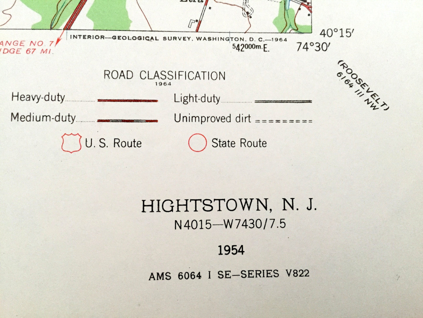
Antique Hightstown, New Jersey 1954 US Geological Survey Topographic Map – Cranbury, South Brunswick, West, East Windsor, Plainsboro, NJ
Beautiful, antique map of Hightstown, West Windsor, Plainsboro, South Brunswick, Cranbury and Princeton Junction, New Jersey. This is an authentic 1954 print from the U.S. Geological Survey and NOT a computer reproduction.
See what Middlesex & Mercer Counties of New Jersey looked like over 60 years ago. Lots of intricate details and geological contours. Map even has little squares for every house that existed at the time. The USGS cartographers were very thorough back then!
Perfect for the historian, map-lover, the curious or just as a conversation starter. Wonderful and rare. Vintage maps such as these make great gifts.
Edition of 1954, printed 1954
Dimensions: 22" width x 27" height
----
Features
Cities & Towns: Kinsgton, South Brunswick, Dayton, Plainsboro, Schalks, Princeton Junction, West Windsor, Hightstown, Cranbury, Edinburg, East Windsor, Scotts Corners, Dutch Neck, Hickory Corner.
Points of Interest: Conrail, Princeton University Medical Research Center, State Police Headquarters, St Josephs School, Cook Natural Area, Central Mercer County Park, Peddie Preperatory School, Amtrak Railroad Tracks, Princeton University Laboratory, and lots more hills, towns, streams, ponds, churches, schools, houses, and roads.
Condition: Very Good Vintage condition, commensurate with age. This map is in great shape for being over 60 years old.
----
We will happily adjust shipping price for multiple purchases. Maps are rolled up and shipped in sturdy mailing tubes, never folded.
Couldn't load pickup availability
Share