My Store
Antique Holbrook, West Virginia 1926 US Geological Survey Topographic Map – Ritchie County, Summers, Oxford, New Milton, Auburn, Burnt House
Antique Holbrook, West Virginia 1926 US Geological Survey Topographic Map – Ritchie County, Summers, Oxford, New Milton, Auburn, Burnt House
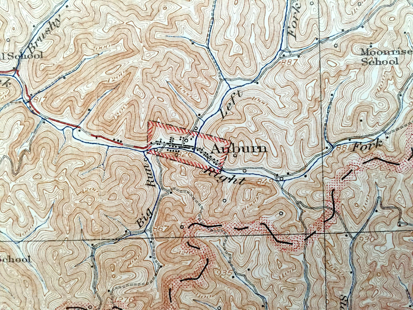
Beautiful, antique map of Holbrook, West Virginia and surrounding Ritchie, Doddridge, and Gilmer County area. This is an authentic 1926 edition, 1942 print from the U.S. Geological Survey and NOT a computer reproduction.
See what West Virginia looked like over 90 years ago. Lots of intricate details and geological contours. Map even has little squares for every house that existed at the time. The USGS cartographers were very thorough back then! On the back is a description of topographic symbols and map guide.
Perfect for the historian, map-lover, the curious or just as a conversation starter. Wonderful and rare. Vintage maps such as these make great gifts.
Edition of 1926, printed 1942
Dimensions: 16 1/2" width x 20" height
----
Features
Cities & Towns: Holbrook, Clay, Five Forks, Pullman, Oxford, Central, Southwest, Porto Rico, West Union, New Milton, Berea, Union, Murphy, Summers, Auburn, Spurgeon, Cove, Burnt House, De Kalb, Lawford, Racket, Troy, Newberne, Coxs Mills, Conings.
Points of Interest: South Fork Hughes River, Otterslide Creek, Spruce Creek, Pine Low Gap, Horn Creek, King Knob, Poverty Hollow, and lots more hills, mountains, creeks, towns, roads and train tracks.
Condition: Very Good condition, commensurate with age. This map is in incredible condition for being over 70 years old. Has some light fold marks, but these will read as vintage character when framed.
----
We will happily adjust shipping price for multiple purchases. Maps are rolled up and shipped in sturdy mailing tubes, never folded.
Couldn't load pickup availability
Share