My Store
Antique Honesdale, Pennsylvania 1946 US Geological Survey Topographic Map – Wayne County, Clinton, Dyberry, Texas, Cherry Ridge, Canaan
Antique Honesdale, Pennsylvania 1946 US Geological Survey Topographic Map – Wayne County, Clinton, Dyberry, Texas, Cherry Ridge, Canaan
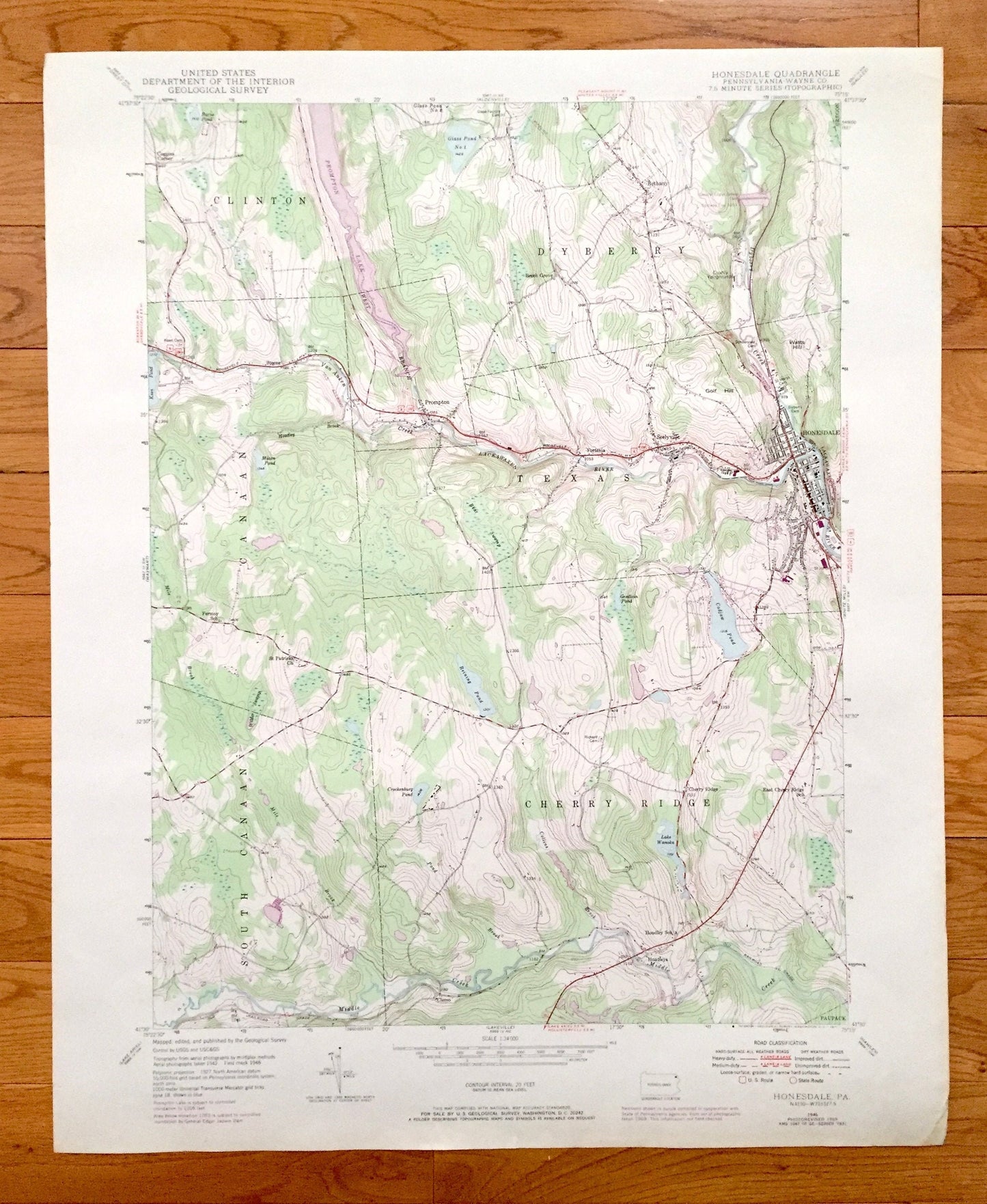
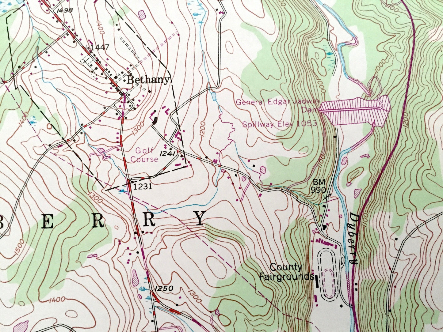
Beautiful, antique map of Honesdale, Pennsylvania and surrounding Wayne County areas. This is an authentic 1946 edition, 1971 print from the U.S. Geological Survey and NOT a computer reproduction.
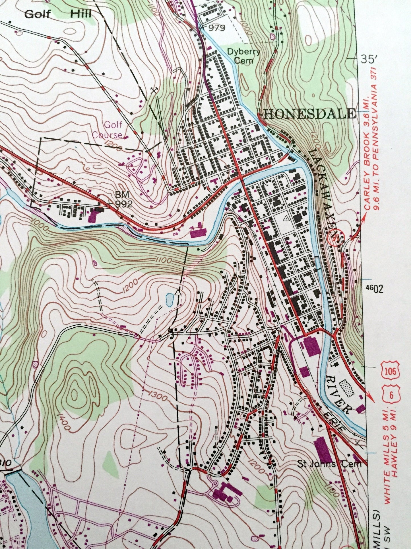
See what Pennsylvania looked like over 70 years ago. Lots of intricate details and geological contours. Map even has little squares for every house that existed at the time. The USGS cartographers were very thorough back then!
Perfect for the historian, map-lover, the curious or just as a conversation starter. Wonderful and rare. Vintage maps such as these make great gifts.
Edition of 1946, printed 1971
Dimensions: 22" width x 27" height
----
Features
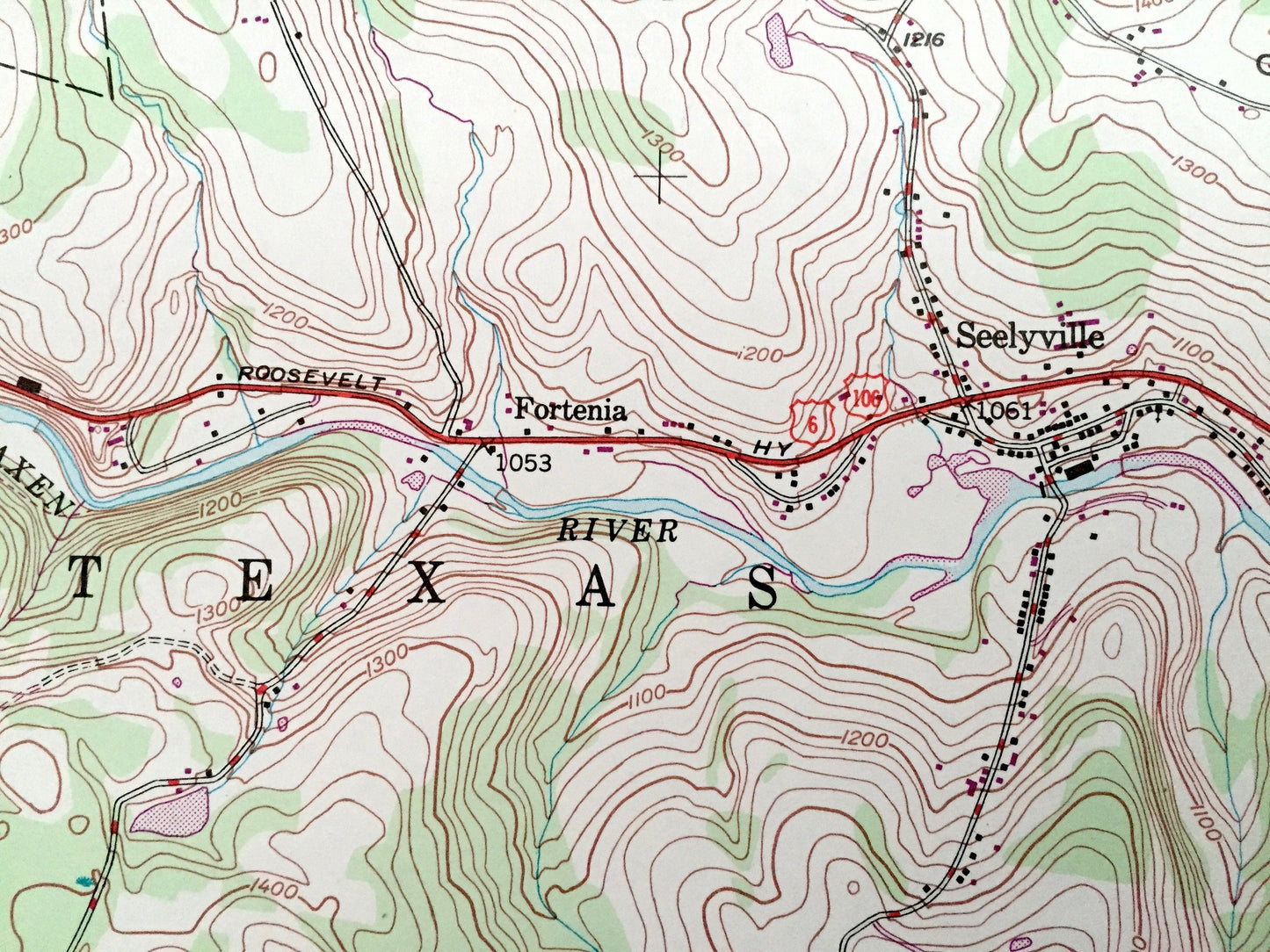
Cities & Towns: Honesdale, South Canaan, Paupack, Hoadleys, Prompton, Seelyville, Fortenia, Steene, Coggins Corner, Bethany, Clemo, Beech Grove.
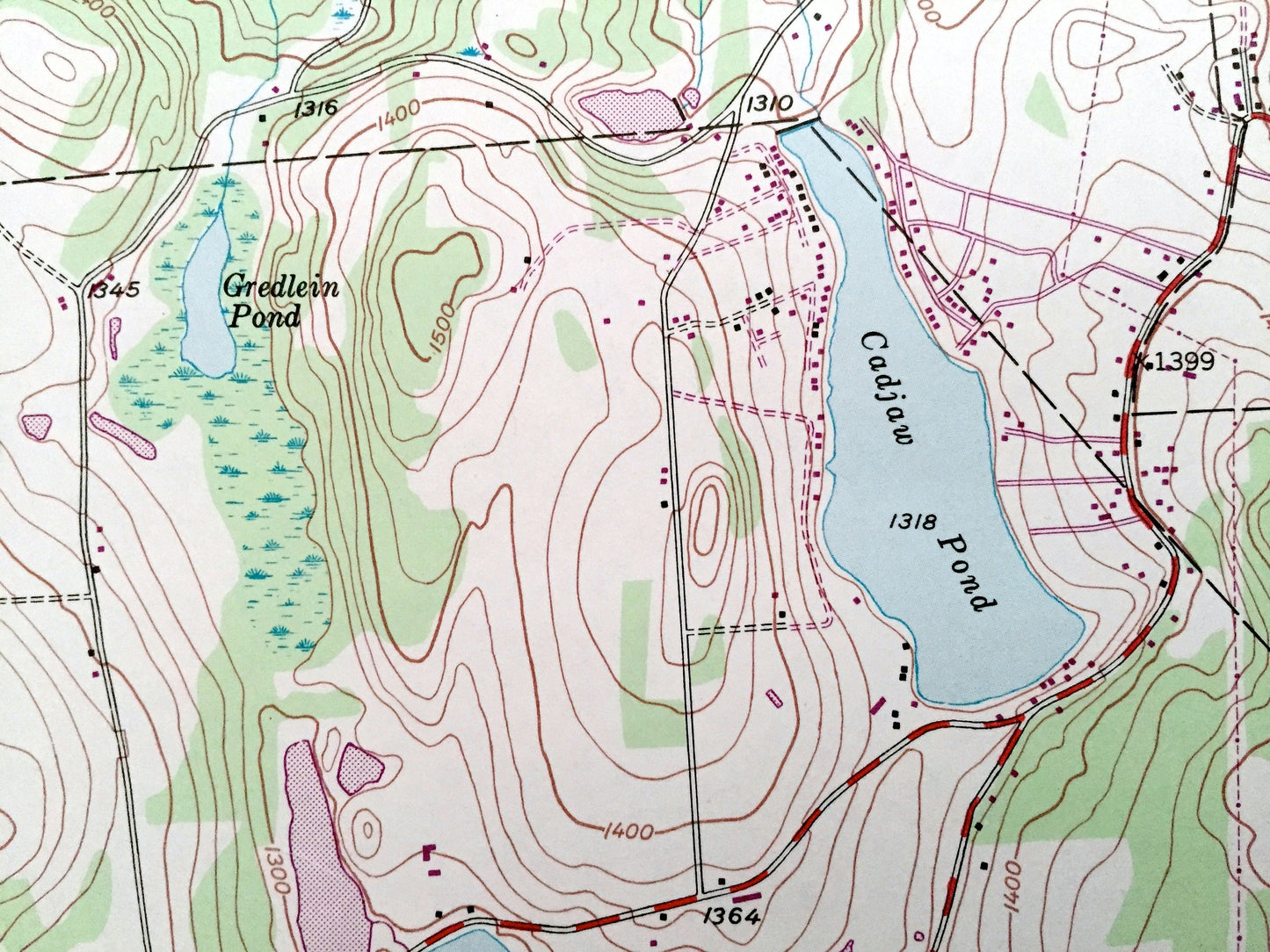
Points of Interest: Wayne County, Prompton State Park, Prompton Lake, Keen Lake, Lackawaxen River, Lake Wanoka, Cadjaw Pond, Reining Pond, Collins Brook, Wilder Swamp, Bear Swamp, Middle Creek and many more hills, streams, ponds, houses, schools, churches and roads.
Condition: Good Vintage condition, commensurate with age. This map is in great shape for being almost 50 years old. Has light edge-wear, but this will read as vintage character when framed.
----
We will happily adjust shipping price for multiple purchases. Maps are rolled up and shipped in sturdy mailing tubes, never folded.
Couldn't load pickup availability
Share