My Store
Antique Houston, Texas 1945 US Geological Survey Topographic Map – Harris County, Jacinto City, Fauna, Greens Bayou, Clover Leaf, Martin, TX
Antique Houston, Texas 1945 US Geological Survey Topographic Map – Harris County, Jacinto City, Fauna, Greens Bayou, Clover Leaf, Martin, TX
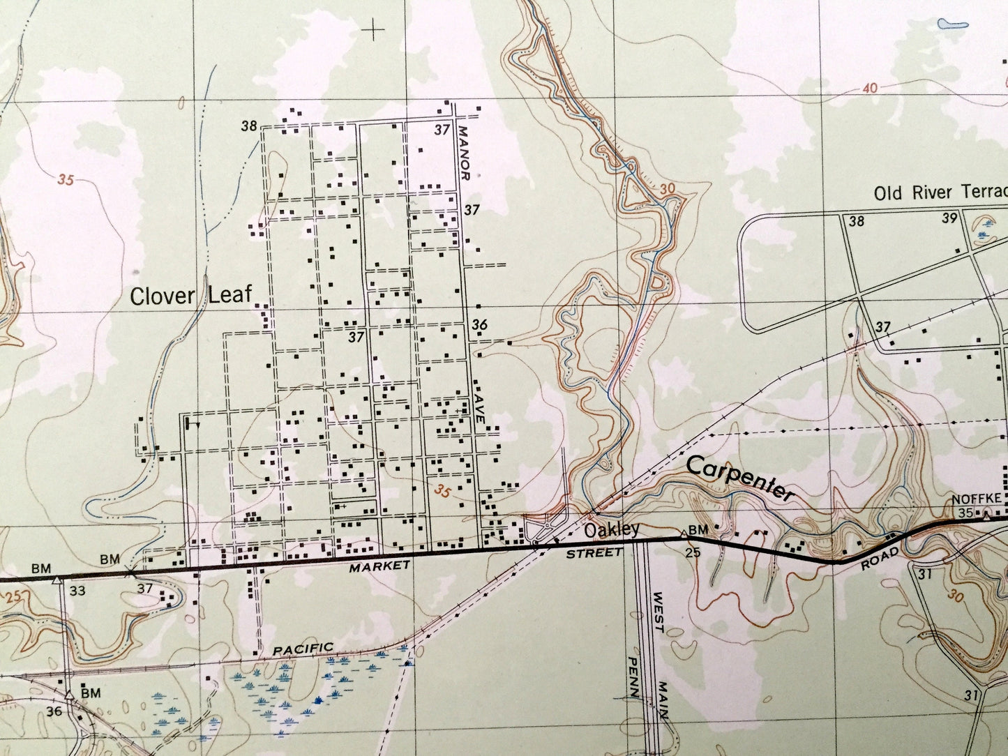
Beautiful, antique map of Houston, Texas and surrounding Harris County on Buffalo Bayou. This is an authentic 1945 print from the U.S. Geological Survey and NOT a computer reproduction.
See what Houston looked like more 70 years ago. Lots of intricate details and geological contours. Map even has little squares for every house that existed at the time. The USGS cartographers were very thorough back then!
Perfect for the historian, map-lover, the curious or just as a conversation starter. Wonderful and rare. Vintage maps such as these make great gifts.
Edition of 1945, printed 1945
Dimensions: 17" width x 22" height
----
Features
Cities & Towns: Houston, Fauna, Jacinto City, Greens Bayou, Abbots Store, Martin, Clover Leaf, Old River Terrace, Houmont Park, Dawes, Oates Prairie.
Points of Interest: Harris County, Greens Bayou, Halls Bayou, Round Prairie, Big Gulch, Carpenters Bayou, Hunting Bayou, Southern Pacific Railroad, and many more creeks, hills, houses, churches, schools, cemeteries, train tracks and roads.
Condition: Very Good condition, commensurate with age. This map is in incredible shape for being over 70 years old.
----
We will happily adjust shipping price for multiple purchases. Maps are rolled up and shipped in sturdy mailing tubes, never folded.
Couldn't load pickup availability
Share