My Store
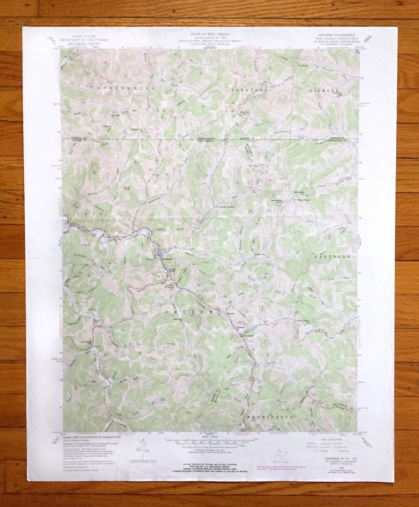
Antique Hundred, West Virginia 1958 US Geological Survey Topographic Map – Wetzel, Marion, Monongalia County, Clay, WV, Greene County, PA
Antique Hundred, West Virginia 1958 US Geological Survey Topographic Map – Wetzel, Marion, Monongalia County, Clay, WV, Greene County, PA
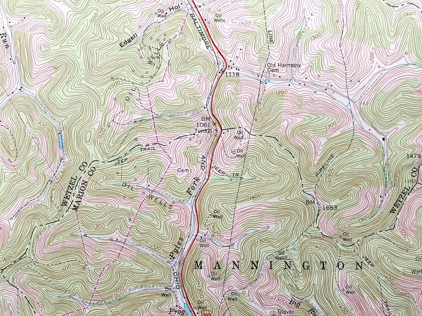
Beautiful, antique map of Hundred, West Virginia and surrounding Wetzel County, Marion County and Monongalia County areas, including Pennsylvania’s Greene County. This is an authentic 1958 edition, 1977 print from the U.S. Geological Survey and NOT a computer reproduction.
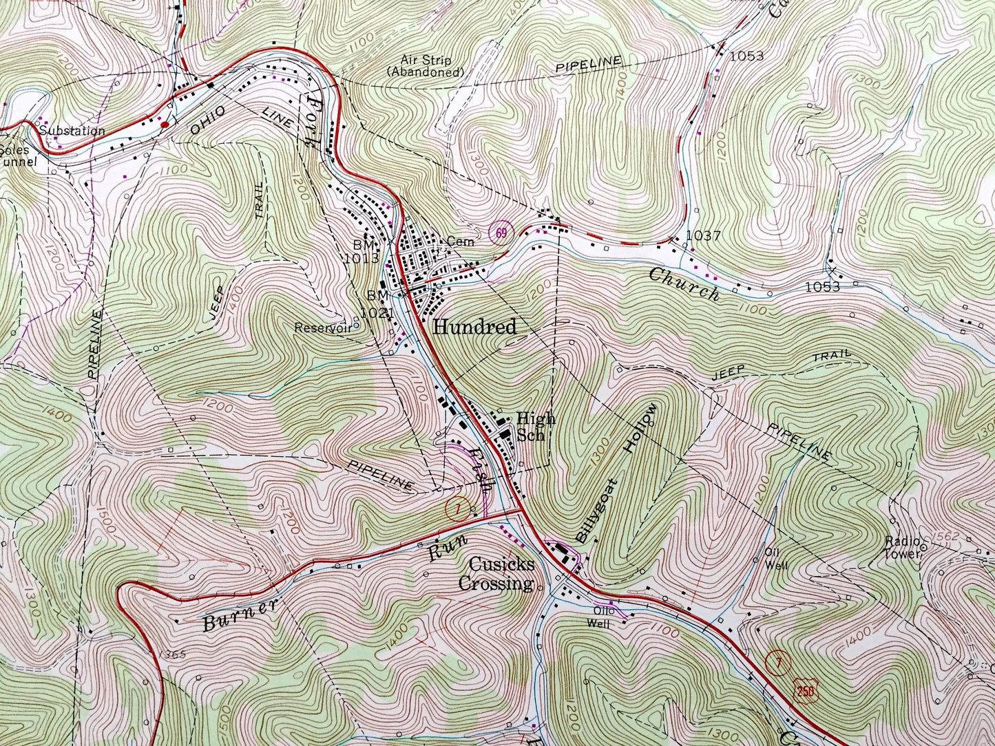
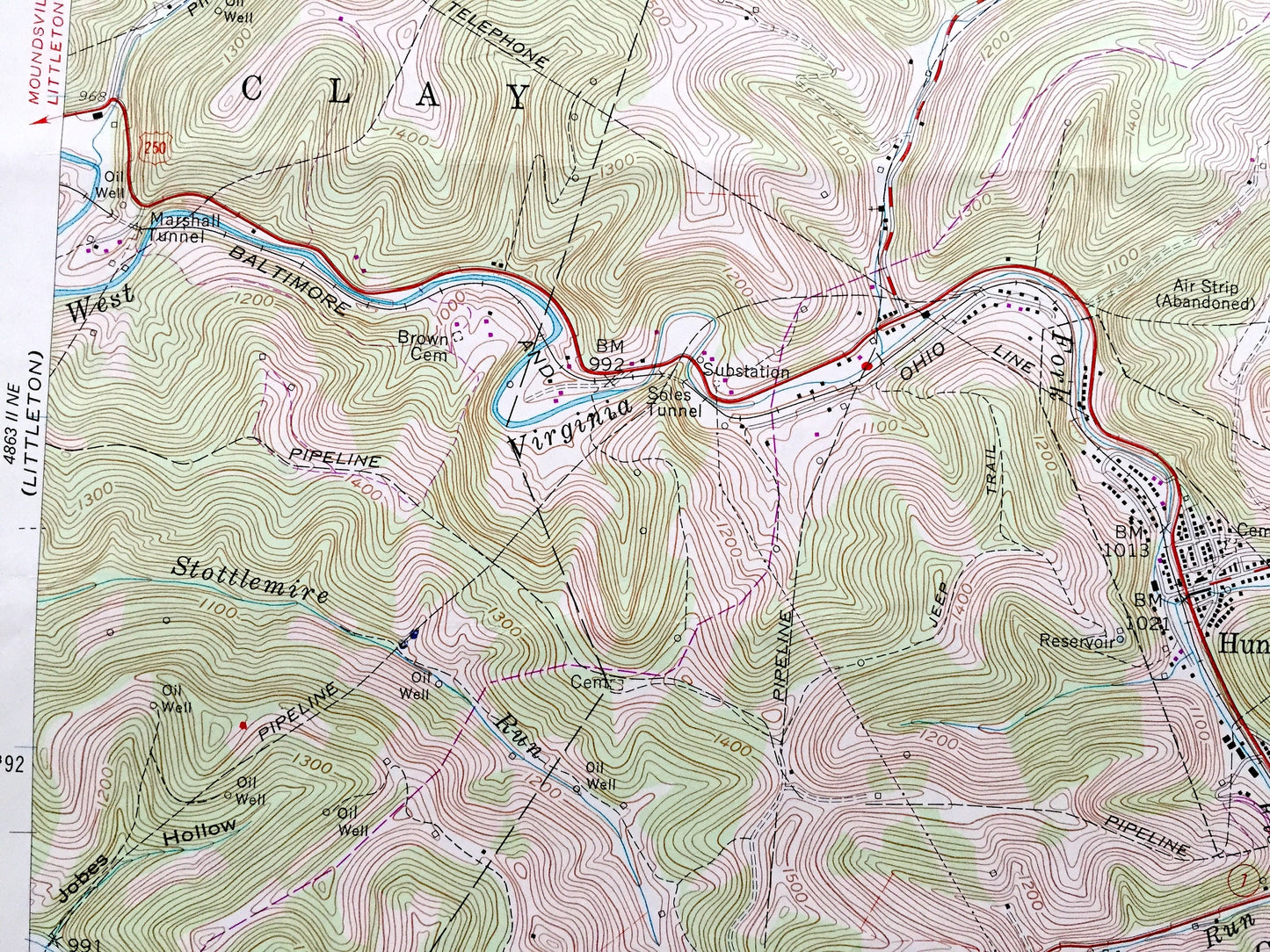
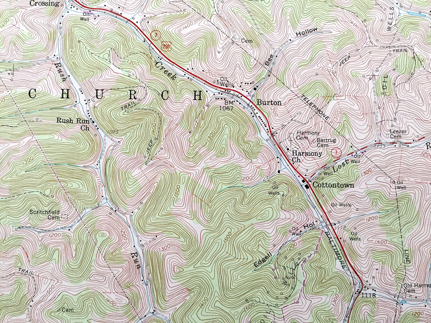
See what West Virginia and Pennsylvania looked like over 65 years ago. Lots of intricate details and geological contours. Map even has little squares for every house that existed at the time. The USGS cartographers were very thorough back then!
Perfect for the historian, map-lover, the curious or just as a conversation starter. Wonderful and rare. Vintage maps such as these make great gifts.
Edition of 1958, printed 1977
Dimensions: 22" width x 27" height
----
Features
Cities & Towns: WEST VIRGINIA: Clay, Church, Battelle, Mannington, Cusicks Crossing, Saint Cloud, Round Bottom, Burton, Cottontown.
PENNSYLVANIA: Springhill, Freeport, Gilmore, Garrison, Sandrock.
Points of Interest: Abandoned Air Strip, Louth Knob, Butcher Hollow, Honsocker Knob, Billygoat Hollow, Kerns Hollow, Pyles Fork, Virginia Fork, Garrison Fork, Pennsylvania Fork, Dunkard Creek, Rockcamp Run, Long Drain, Fish Creek, and many more hills, streams, ponds, houses, schools, railroads, churches and roads.
Condition: Very Good Vintage condition, commensurate with age. This map is in great shape for being over 45 years old. Has light edge-wear but will read as character when framed.
----
We will happily adjust shipping price for multiple purchases. Maps are rolled up and shipped in sturdy mailing tubes, never folded.
Couldn't load pickup availability
Share