My Store
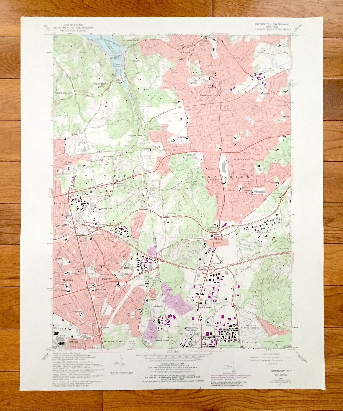
Antique Huntington, New York 1967 US Geological Survey Topographic Map – Suffolk, Nassau County, Oyster Bay, Laurel Hollow, Hicksville, NY
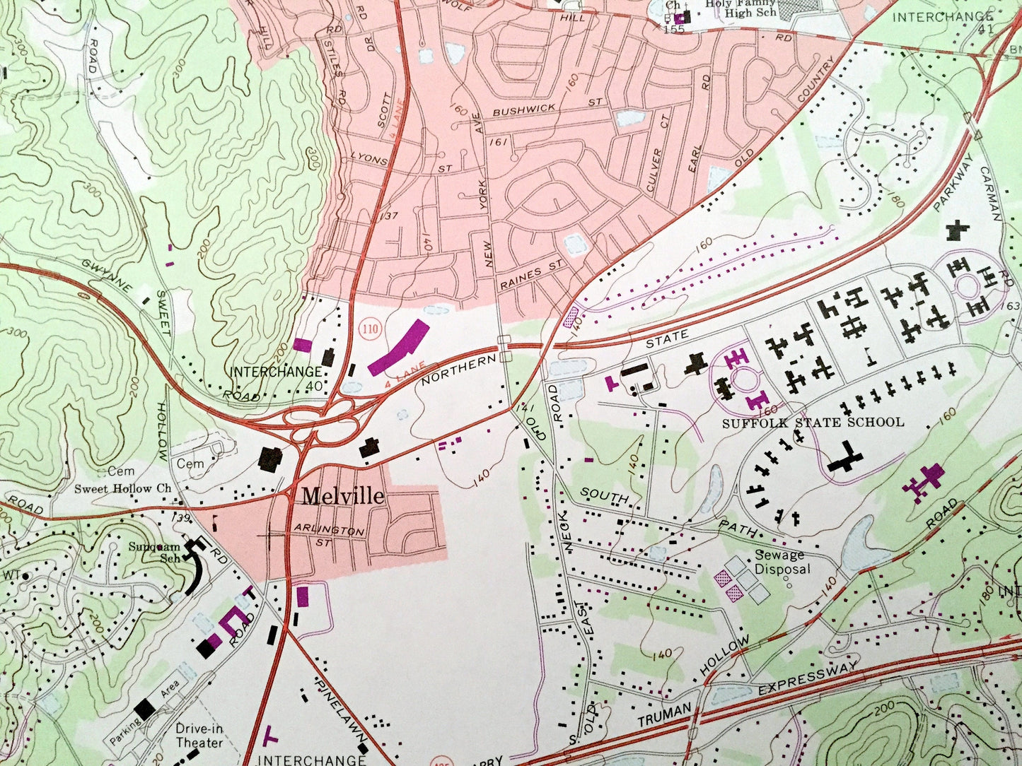
Antique Huntington, New York 1967 US Geological Survey Topographic Map – Suffolk, Nassau County, Oyster Bay, Laurel Hollow, Hicksville, NY
Beautiful, antique map of Huntington, New York and surrounding Suffolk County and Nassau County areas. This is an authentic 1967 edition, 1989 print from the U.S. Geological Survey and NOT a computer reproduction.
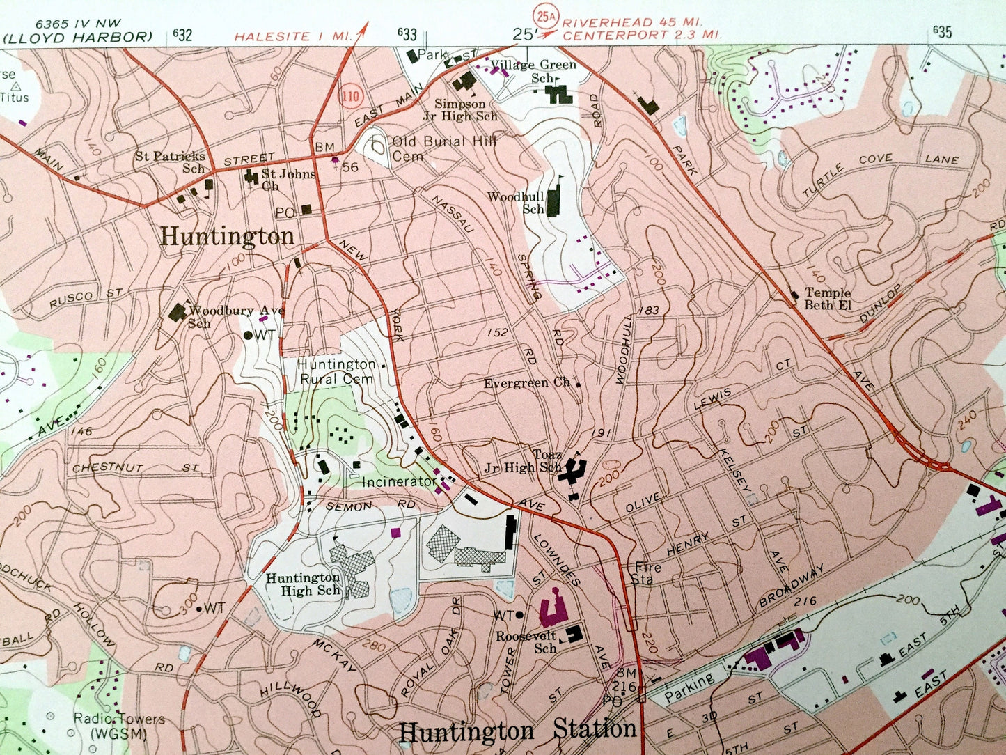
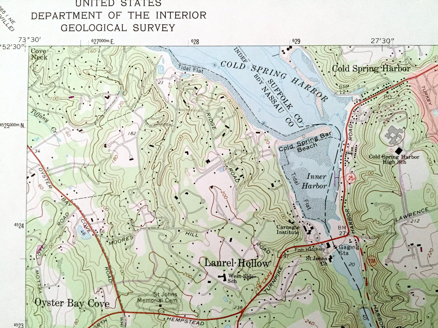
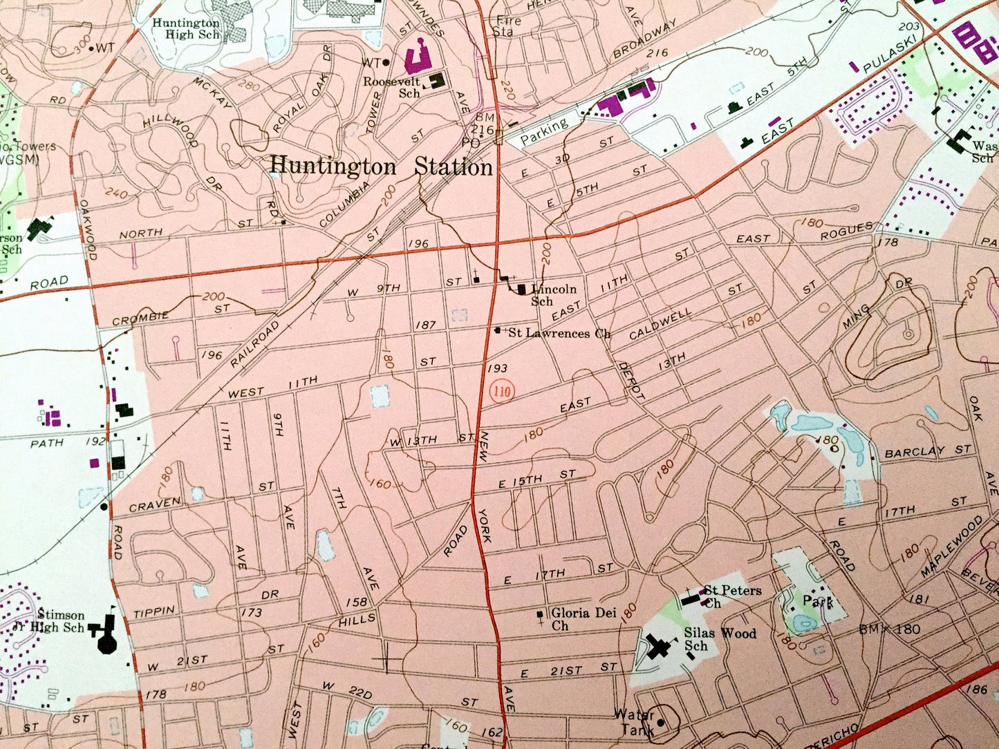
See what New York looked like over 50 years ago. Lots of intricate details and geological contours. Map even has little squares for every house that existed at the time. The USGS cartographers were very thorough back then!
Perfect for the historian, map-lover, the curious or just as a conversation starter. Wonderful and rare. Vintage maps such as these make great gifts.
Edition of 1967, printed 1989
Dimensions: 22" width x 27" height
----
Features
Cities & Towns: Oyster Bay, Oyster Bay Cove, Laurel Hollow, Cold Spring Harbor, Syosset, Woodbury, Huntington Station, South Huntington, Locust Grove, Melville, Hicksville, Plainview, Bethpage, Old Bethpage, Lower Melville, Babylon.
Points of Interest: Bethpage State Park, Long Island National Cemetery, Suffolk State School, State University Agricultural and Technical Institute, Eastern Military Academy, Little Plains, West Hills, Half Hollow Hills, Mannetto Hills, Cold Spring Harbor, Inner Harbor, Cold Spring Bar Beach, and many more hills, streams, ponds, houses, schools, railroads, churches and roads.
Condition: Very Good Vintage condition, commensurate with age. This map is in great shape for being over 30 years old. Has subtle edge-wear but will read as character when framed.
----
We will happily adjust shipping price for multiple purchases. Maps are rolled up and shipped in sturdy mailing tubes, never folded.
Couldn't load pickup availability
Share