My Store
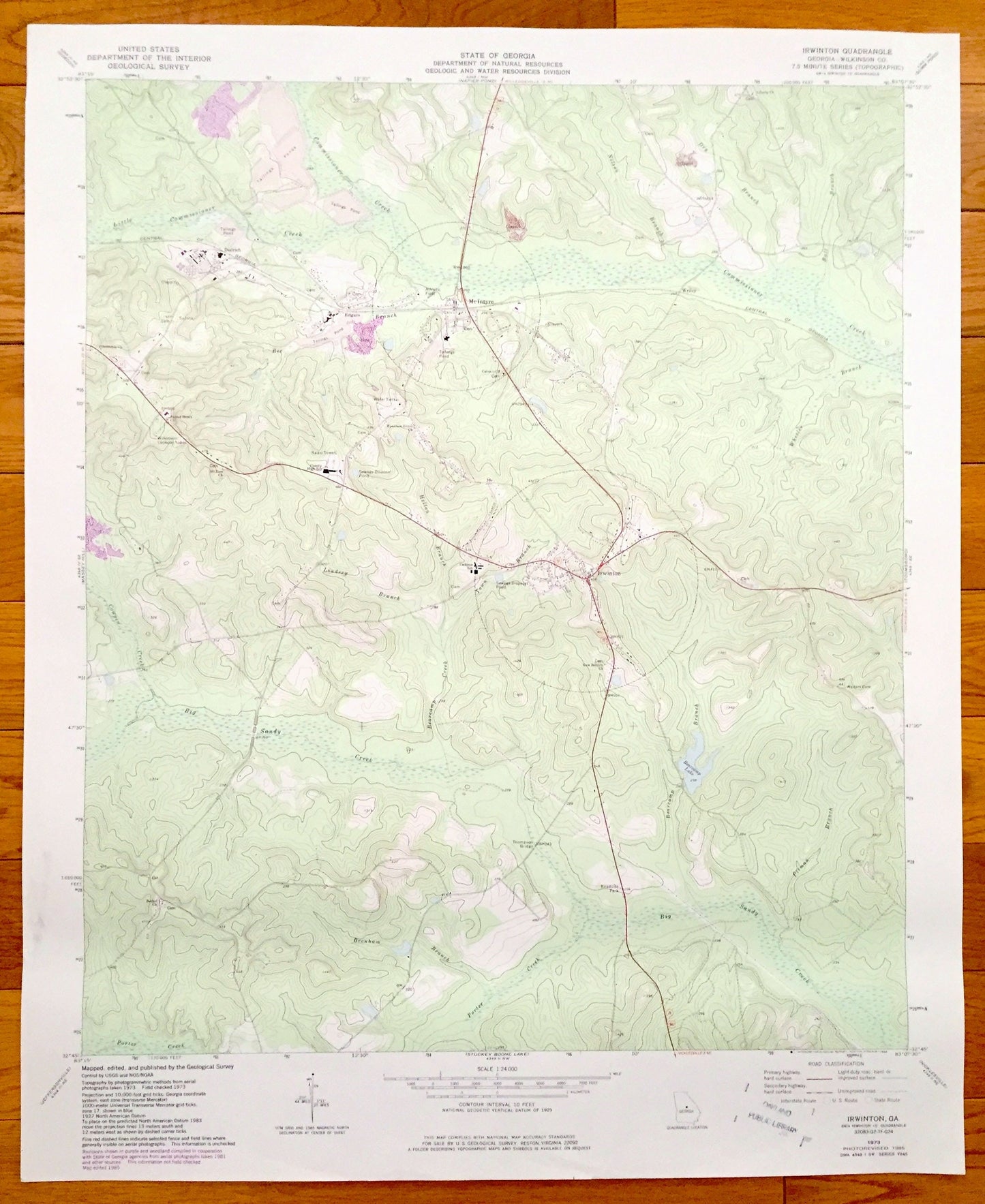
Antique Irwinton, Georgia 1973 US Geological Survey Topographic Map – Dedrich, McIntyre, Edgars, Wriley, Wilkinson County, Macon
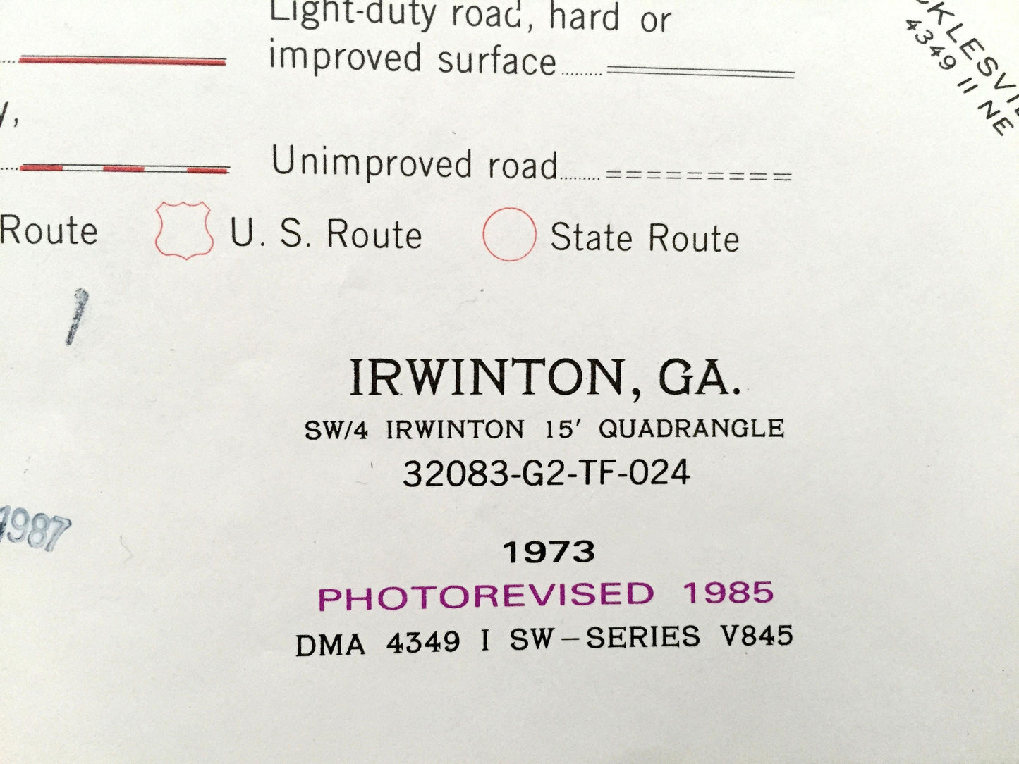
Antique Irwinton, Georgia 1973 US Geological Survey Topographic Map – Dedrich, McIntyre, Edgars, Wriley, Wilkinson County, Macon
Beautiful, antique map of Irwinton, Georgia and surrounding Wilkinson County area east of Macon. This is an authentic 1973 edition, 1985 print from the U.S. Geological Survey and NOT a computer reproduction.
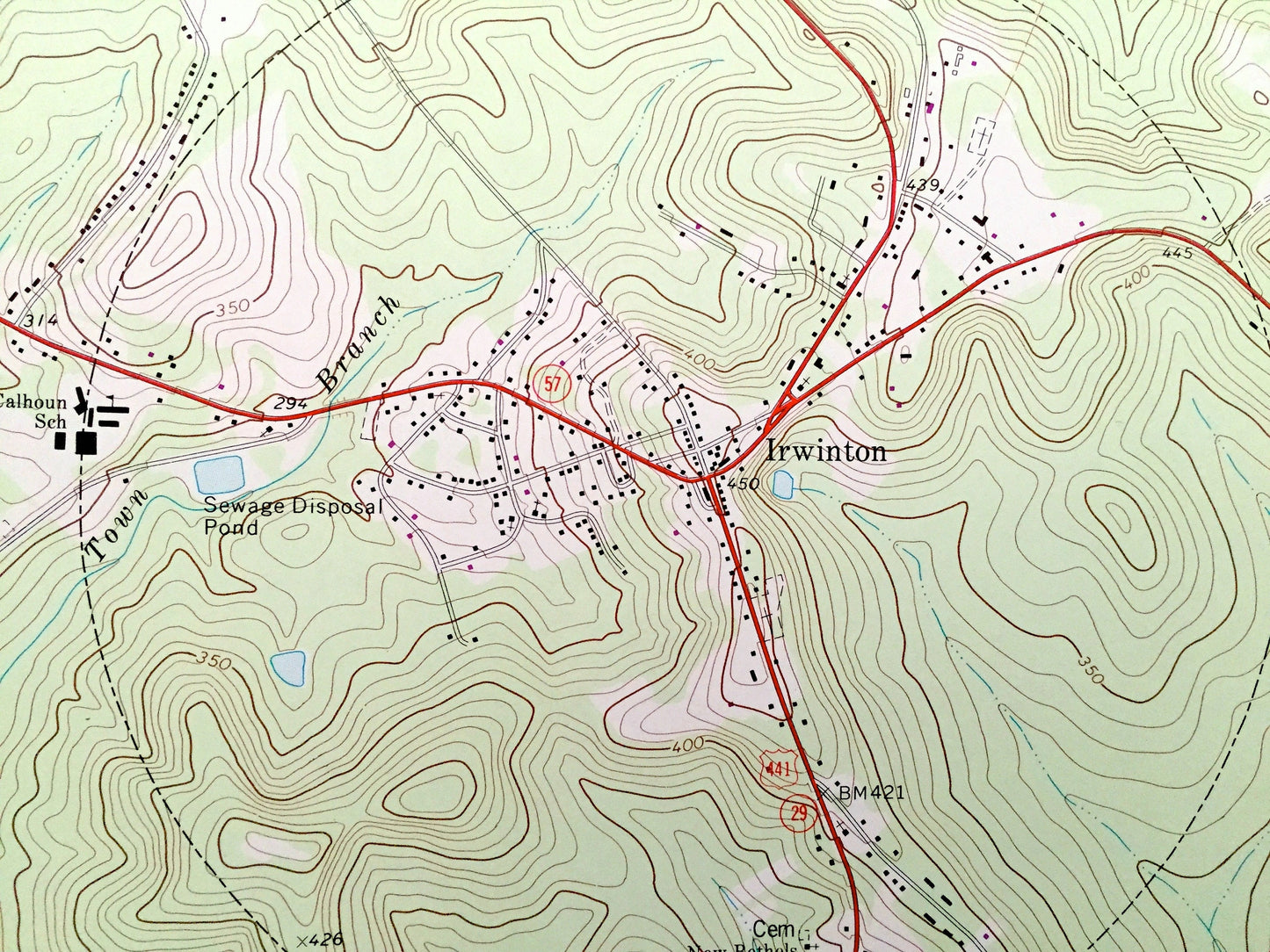
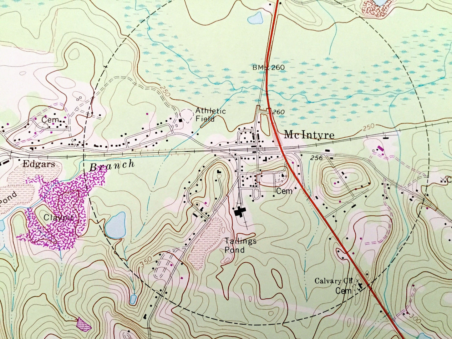
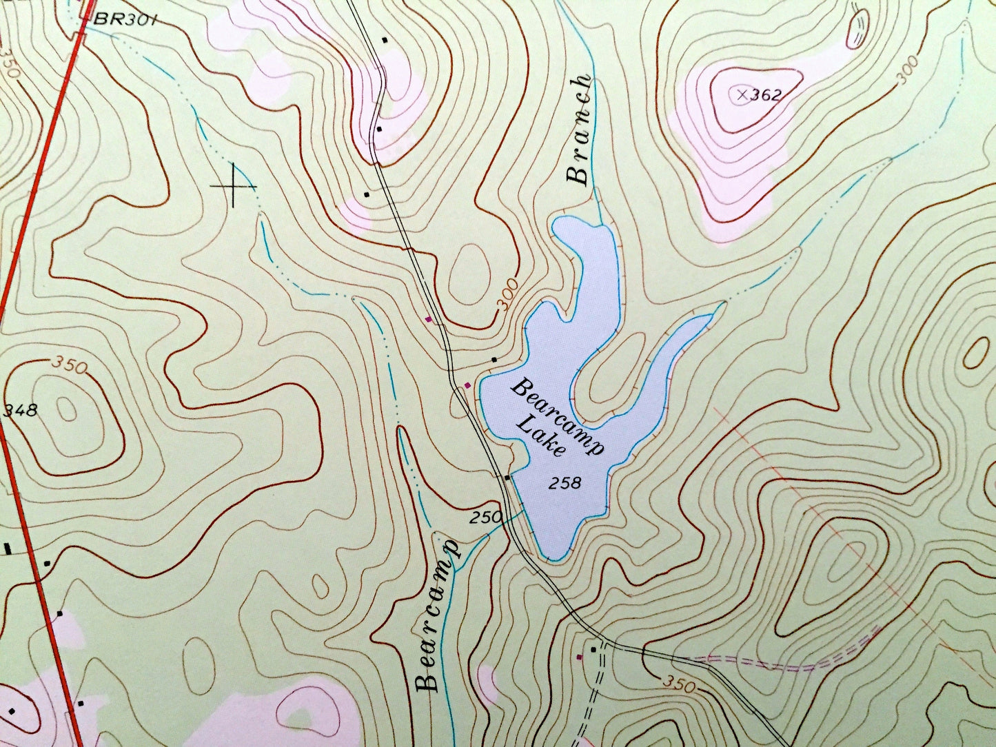
See what Irwinton & McIntyre looked like over 40 years ago. Lots of intricate details and geological contours. Map even has little squares for every house that existed at the time. The USGS cartographers were very thorough back then!
Perfect for the historian, map-lover, the curious or just as a conversation starter. Wonderful and rare. Vintage maps such as these make great gifts.
Edition of 1973, printed 1985
Dimensions: 22" width x 27" height
----
Features
Cities & Towns: Dedrich, McIntyre, Edgars, Wriley, Irwinton.
Points of Interest: Wilkinson County, Commissioner Creek, Bearcamp Lake, Big Sandy Creek, Thompson Bridge, Wilkinson Lookout Tower, Central of Georgia Railway and lots more creeks, houses, schools, churches, train tracks and roads.
Condition: Very Good condition, commensurate with age. This map is in incredible shape for being over 30 years old. Has light creasing from storage, but these are not serious and will flatten out completely with framing.
----
We will happily adjust shipping price for multiple purchases. Maps are rolled up and shipped in sturdy mailing tubes, never folded.
Couldn't load pickup availability
Share