My Store
Antique Jackson Hole, Wyoming 1972 US Geological Survey Topographic Map – Teton County, Snow King, South Park, Snake River, Wilson, WY
Antique Jackson Hole, Wyoming 1972 US Geological Survey Topographic Map – Teton County, Snow King, South Park, Snake River, Wilson, WY
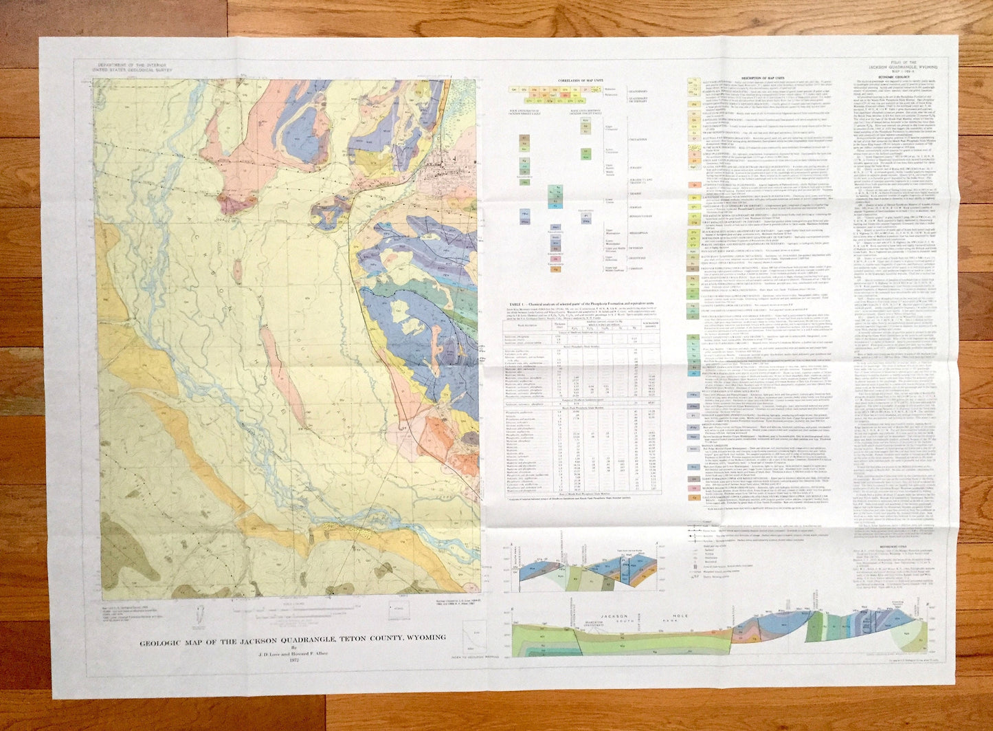
Beautiful, antique map of Jackson Hole, Wyoming, Teton County, Teton National Forest and surrounding area, including Snow King Mountain. This is an authentic 1972 print from the U.S. Geological Survey and NOT a computer reproduction.
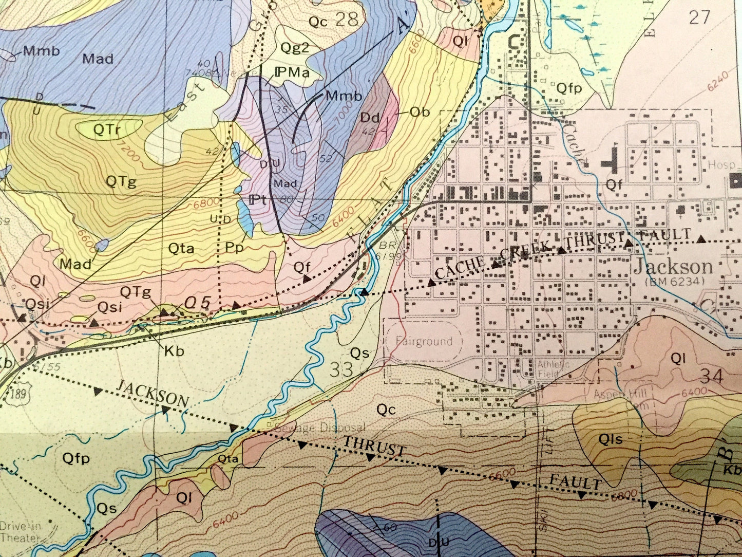
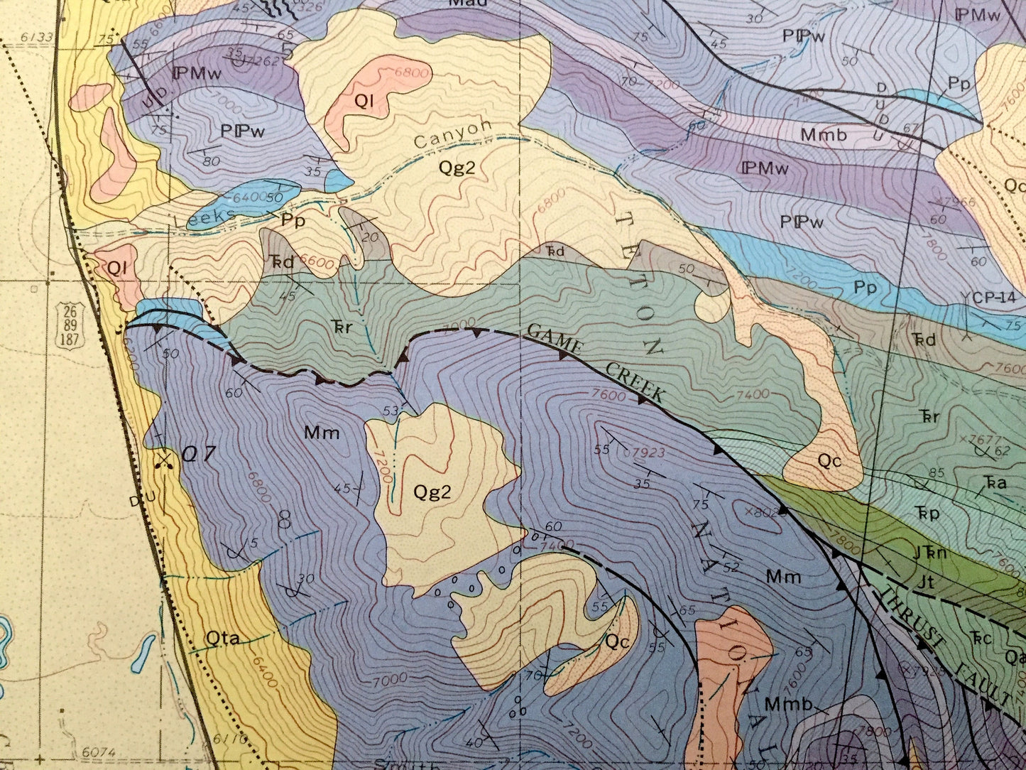
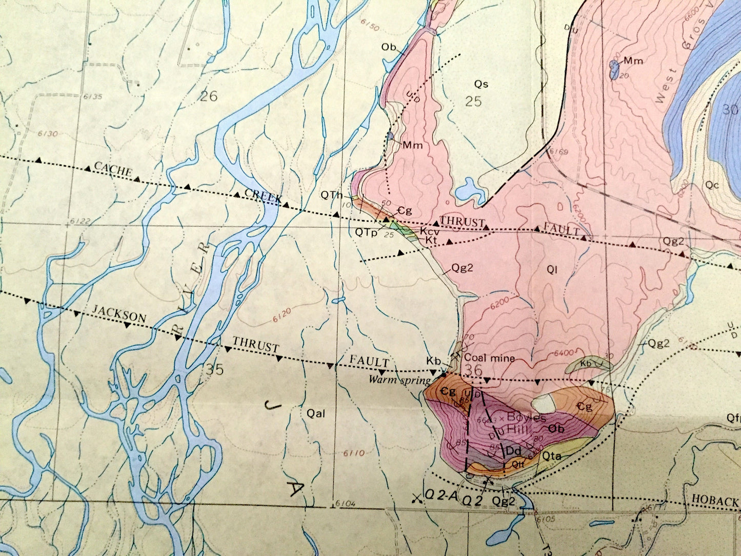
See what Teton County and Jackson looked like almost 50 years ago. Lots of intricate details and geological contours. Map even has little squares for every house that existed at the time. The cartographers were very thorough back then! This map is a very rare Ground Stability Map by J.D. Love & Howard F. Albee for the United States Geological Survey
Perfect for the historian, map-lover, the curious or just as a conversation starter. Wonderful and rare. Maps such as these make great gifts.
Edition of 1972, printed 1972
Dimensions: 40" width x 29" height
----
Features
Cities & Towns: Jackson, Wilson, South Park.
Points of Interest: Jackson Hole, South Park, Teton National Forest, Snake River, Flat Creek, Snow King Mountain, East Gros Ventre Butte, Fish Creek, Mosquito Creek, Butler Creek, WIlson Canyon, Boyles Hill, and lots more mountains, rivers, creeks, towns, schools, roads, mines and tracks.
Condition: Very Good condition, commensurate with age. This map is in great shape for being almost 50 years old. Has folds, as issued, but these will flatten easily and add vintage character when framed. If the geological info page is undesired it is very much possible to crop that area out for presentation.
----
We will happily adjust shipping price for multiple purchases. Map will be shipped folded to preserve quality.
Couldn't load pickup availability
Share