My Store
Antique Jamestown, North Dakota 1954 US Geological Survey Topographic Map – Valley City, La Moure, Oakes, Ellendale, Napoleon, Wishek, Kulm
Antique Jamestown, North Dakota 1954 US Geological Survey Topographic Map – Valley City, La Moure, Oakes, Ellendale, Napoleon, Wishek, Kulm
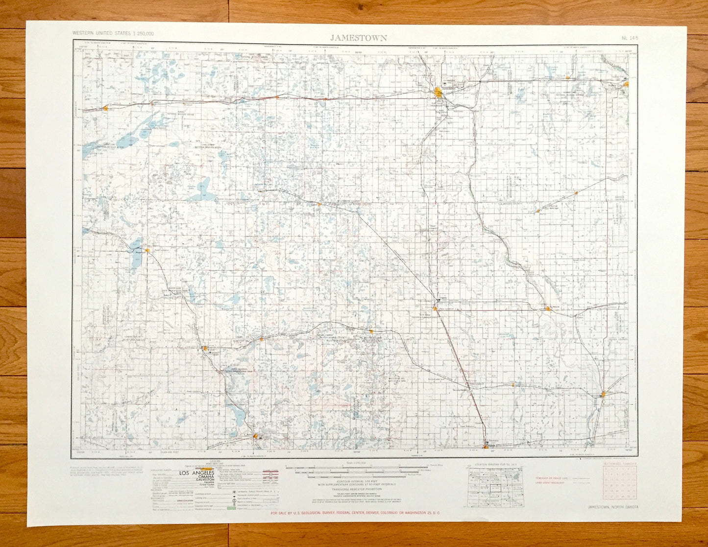
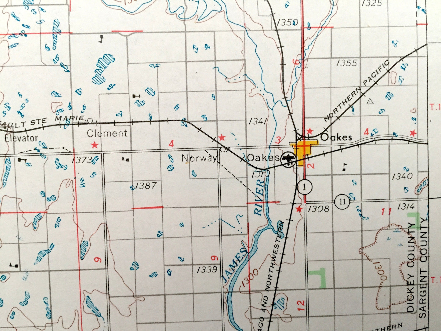
Beautiful, antique map of Jamestown, North Dakota and surrounding area. This is an authentic 1954 edition, 1954 print from the U.S. Geological Survey and NOT a computer reproduction.
See what North Dakota looked like over 65 years ago. Lots of intricate details and geological contours. Map is incredibly large and in the grand 1:250,000 scale. The USGS cartographers were very thorough back then!
Perfect for the historian, map-lover, the curious or just as a conversation starter. Wonderful and rare. Vintage maps such as these make great gifts.
Edition of 1954, printed 1954
Dimensions: 32" width x 22 1/2" height
----
Features
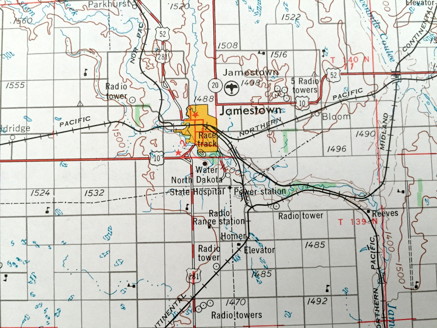
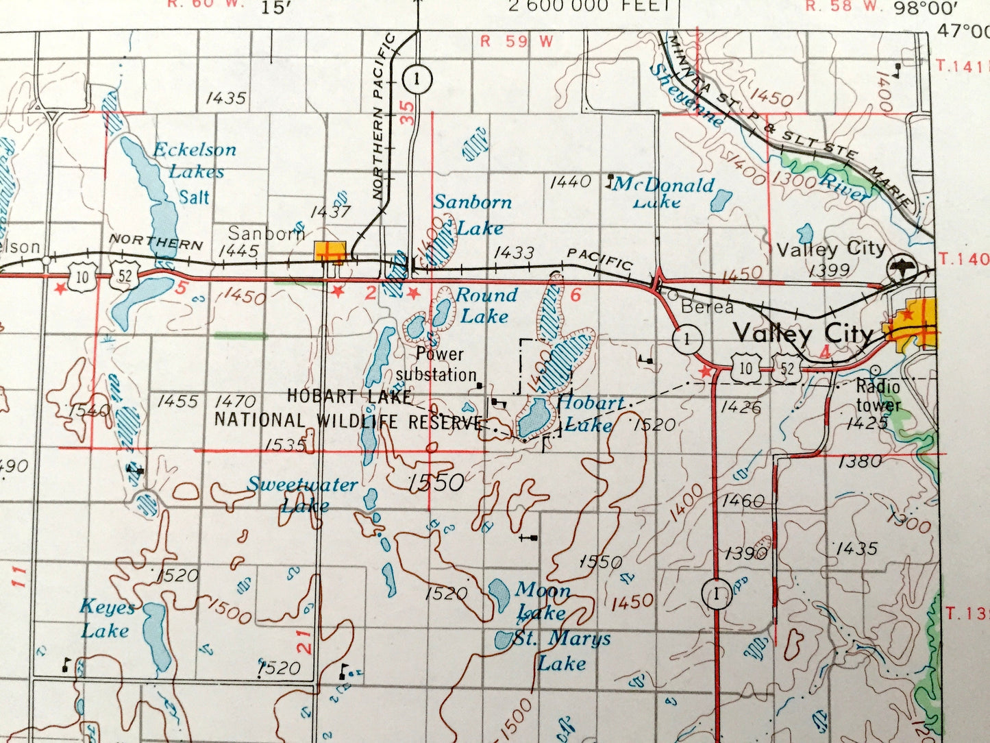
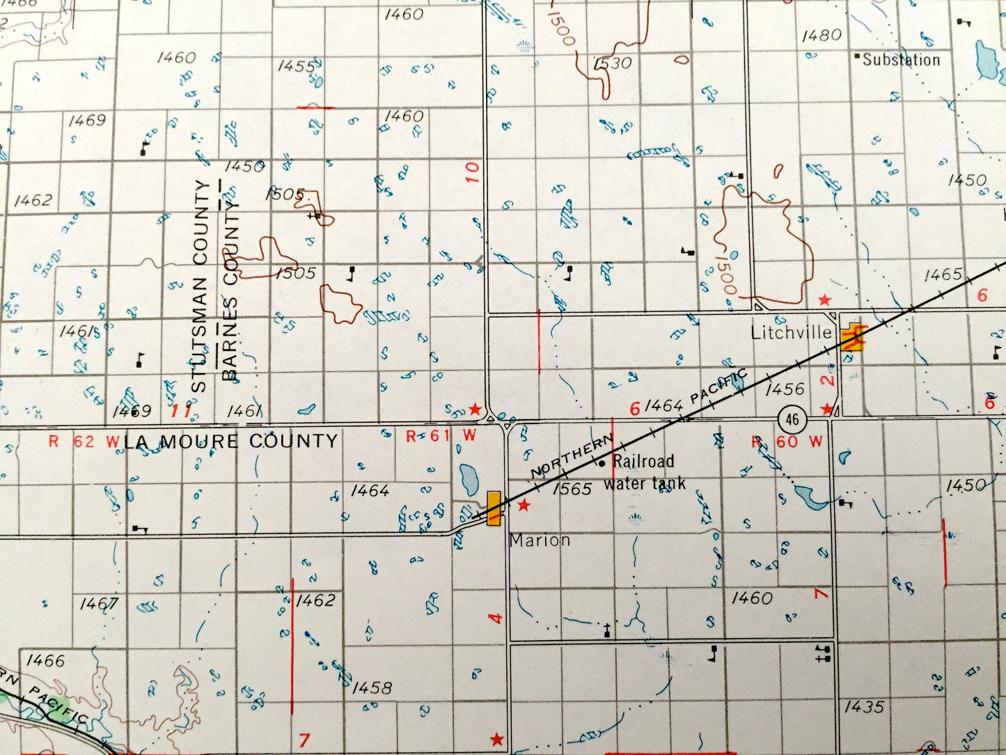
Cities & Towns: Jamestown, Sanborn, Litchville, Edgeley, Ashley, Lehr, Gackle, Steele, Dawson, Tappen, Medina, Streeter, Alfred, Sydney, Millarton, Ludden, Merricourt, Danzig, Hague.
Points of Interest: James River, Maple River, Elm River, Rush Island Lake, Eckelson Lakes, Sanborn Lake, Hobart Lake National Wildlife Reserve, Whitestone Hill Battlefield Park, Lake George National Wildlife Refuge, Slade National Wildlife Refuge, Beaver Creek, Buffalo Creek and lots more hills, mountains, lakes, rivers, creeks, roads, highways and railroads.
Condition: Very Good Vintage condition, commensurate with age. This map is in great shape for being over 65 years old. Has light edge-wear, all of which will read as vintage character when framed.
----
We will happily adjust shipping price for multiple purchases. Maps are rolled up and shipped in sturdy mailing tubes, never folded.
Couldn't load pickup availability
Share