My Store
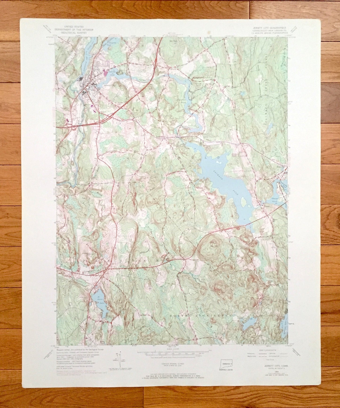
Antique Jewett City, Connecticut 1953 US Geological Survey Topographic Map – New London County, Griswold, Preston, North Stonington, CT
Antique Jewett City, Connecticut 1953 US Geological Survey Topographic Map – New London County, Griswold, Preston, North Stonington, CT
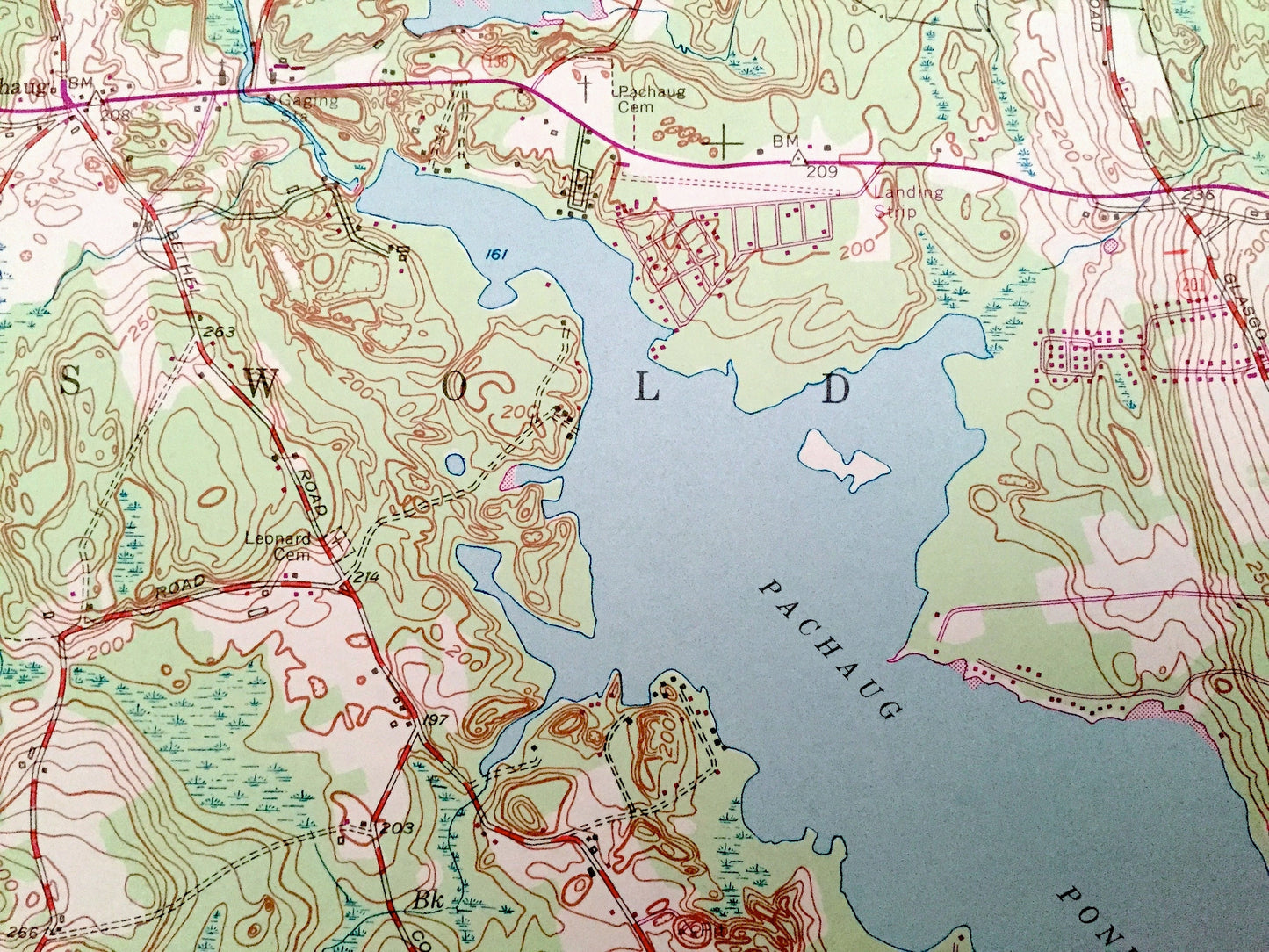
Beautiful, antique map of Jewett City, Connecticut and surrounding New London County area. This is an authentic 1953 edition, 1971 print from the U.S. Geological Survey and NOT a computer reproduction.
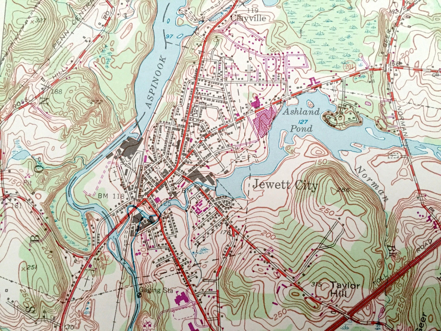
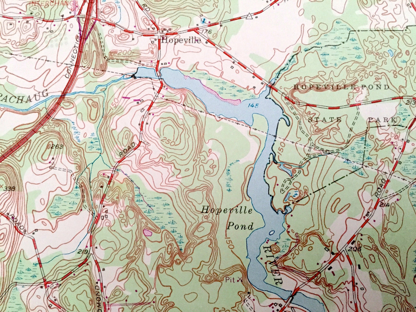
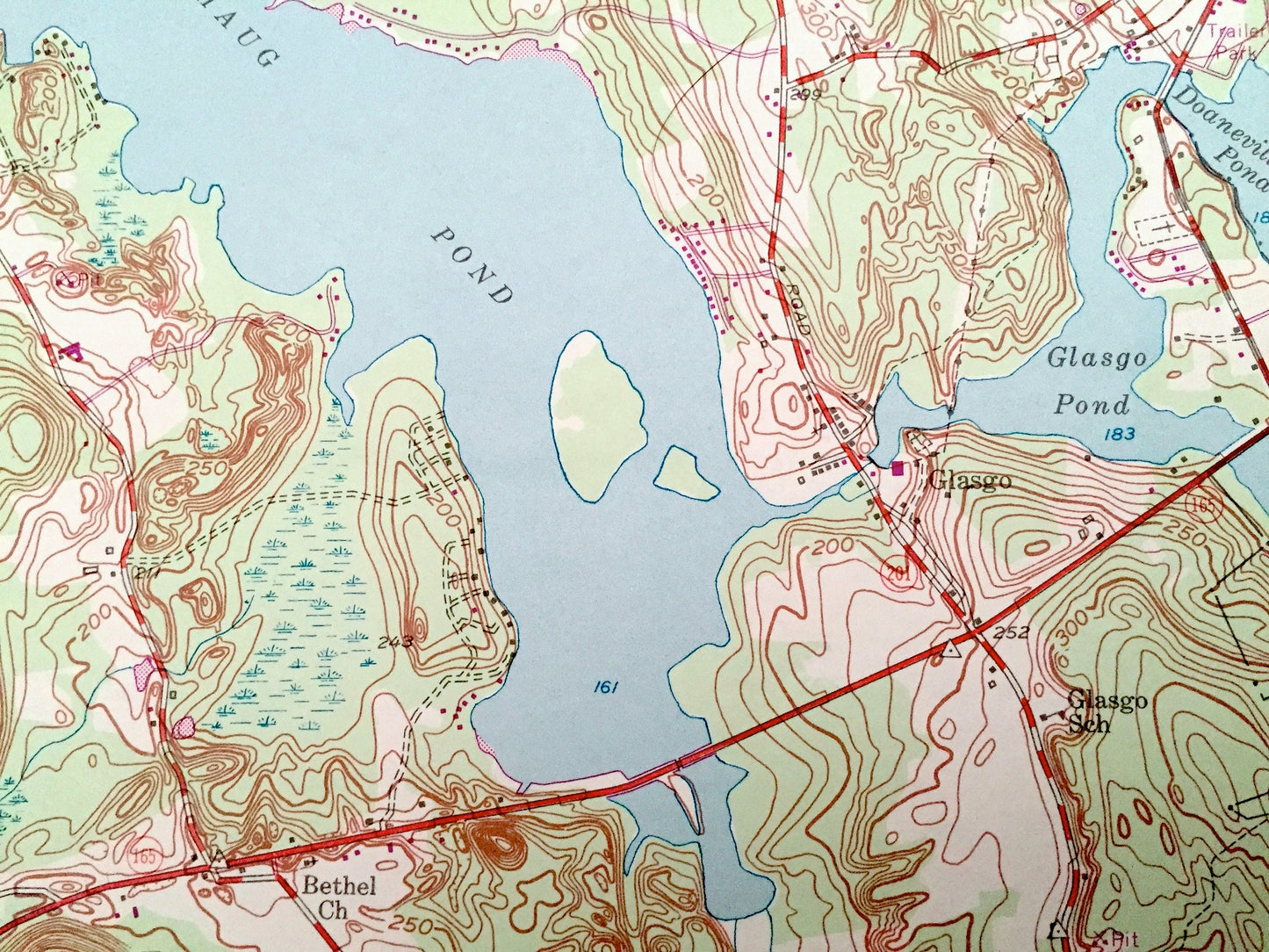
See what Connecticut looked like over 65 years ago. Lots of intricate details and geological contours. Map even has little squares for every house that existed at the time. The USGS cartographers were very thorough back then!
Perfect for the historian, map-lover, the curious or just as a conversation starter. Wonderful and rare. Vintage maps such as these make great gifts.
Edition of 1953, printed 1971
Dimensions: 22" width x 27" height
----
Features
Cities & Towns: Clayville, Hopeville, Voluntown, Preston City, North Stonington, Glasgo, Doaneville, Pachaug, Lisbon.
Points of Interest: Ashland Pond, Pachaug State Forest, Aspinook Pond, Glasgo Pond, Pachaug Pond, Wa Wog Pond, Swain Mountain, Northwest Corner School, Preston City School, Amos Lake, Quinebaug River, Pachaug State Forest, Pachaug School, New York New Haven and Hartford Railroad and many more hills, streams, ponds, houses, schools, railroads, churches and roads.
Condition: Very Good Vintage condition, commensurate with age. This map is in great shape for being over 50 years old. Has light edge-wear but will read as character when framed.
----
We will happily adjust shipping price for multiple purchases. Maps are rolled up and shipped in sturdy mailing tubes, never folded.
Couldn't load pickup availability
Share