My Store
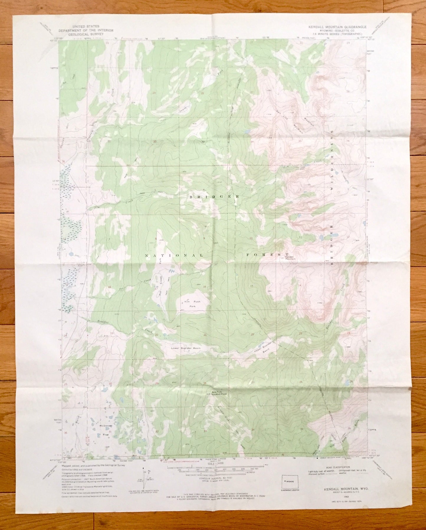
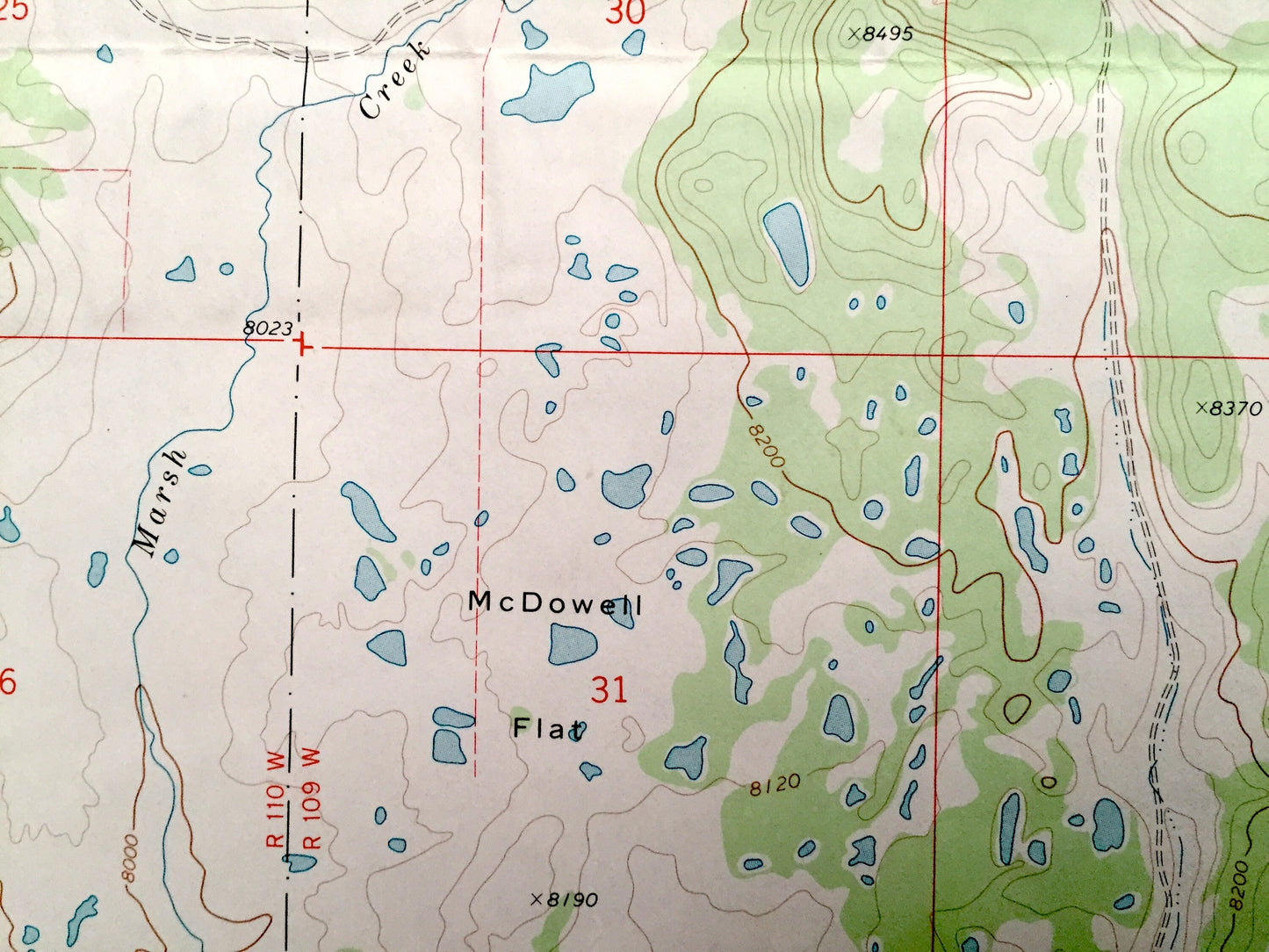
Antique Kendall Mountain, Wyoming 1968 US Geological Survey Topographic Map – Sublette County, Gypsum Hill, Marsh Creek, Upper Boulder Basin
Antique Kendall Mountain, Wyoming 1968 US Geological Survey Topographic Map – Sublette County, Gypsum Hill, Marsh Creek, Upper Boulder Basin
Beautiful, antique map of Kendall Mountain, Wyoming and surrounding Sublette County area. This is an authentic 1968 print from the U.S. Geological Survey and NOT a computer reproduction.
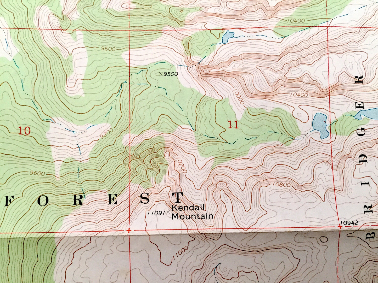
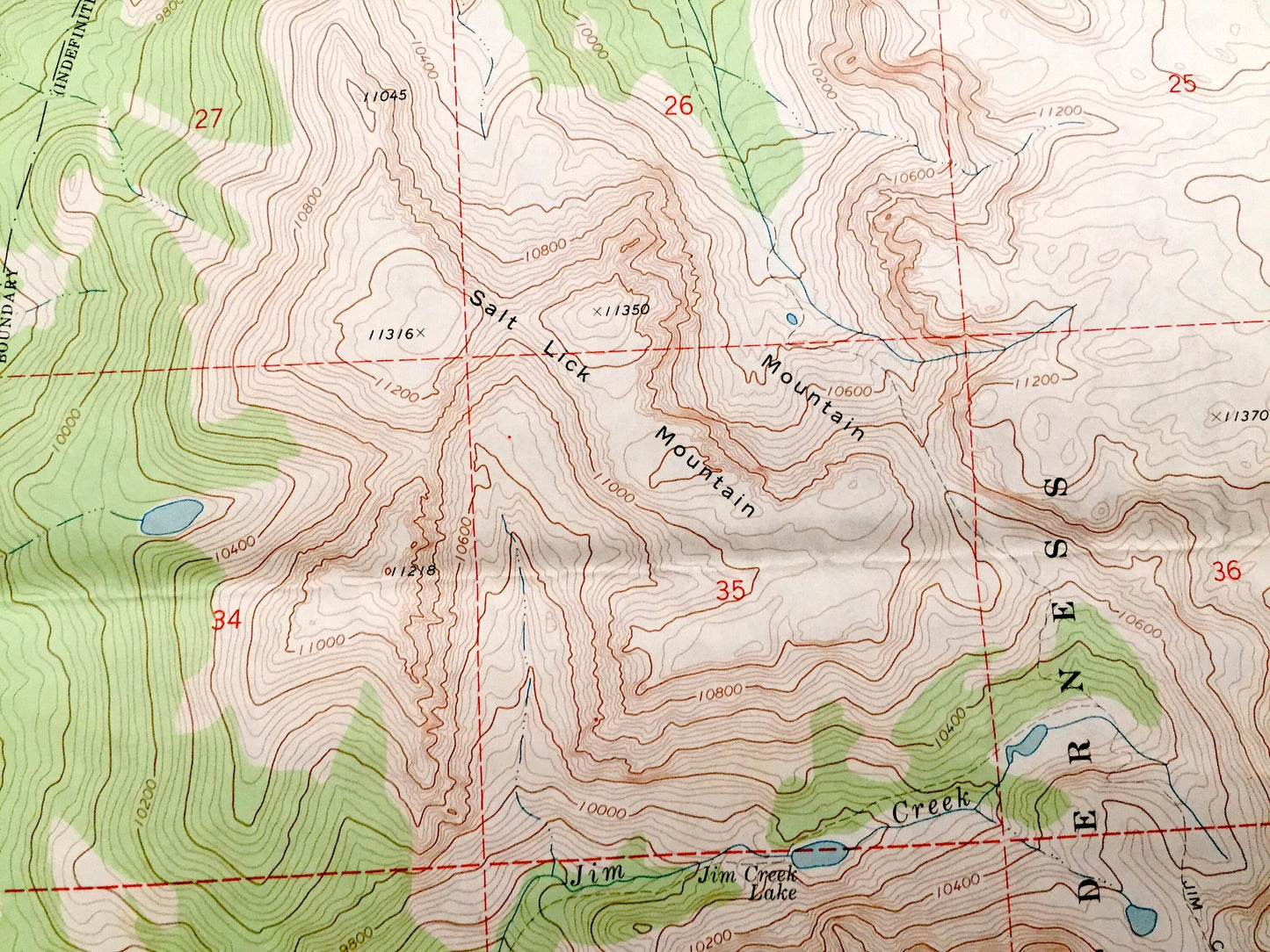
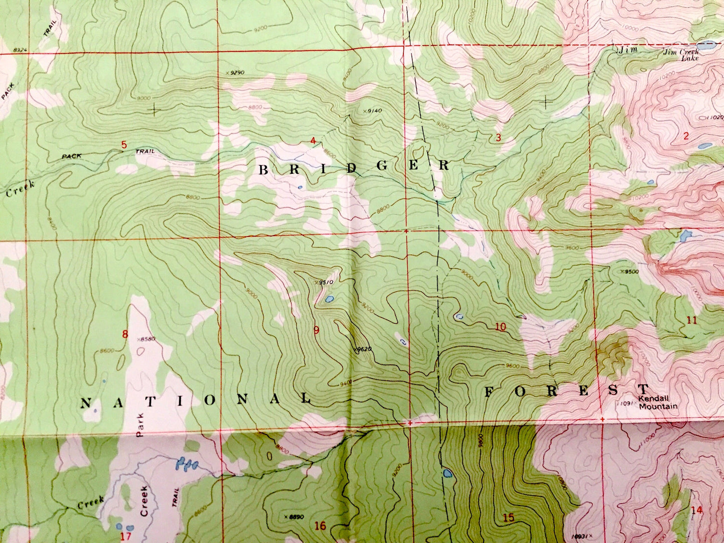
See what Wyoming looked like 50 years ago. Lots of intricate details and geological contours. Map even has little squares for every house that existed at the time. The USGS cartographers were very thorough back then!
Perfect for the historian, map-lover, the curious or just as a conversation starter. Wonderful and rare. Vintage maps such as these make great gifts.
Edition of 1968, printed 1968
Dimensions: 22" width x 27" height
----
Features
Points of Interest: Kendall Mountain, Gypsum Creek, South Fork, Jim Creek, Salt Lick Mountain, Bridger Wilderness, Bridger National Forest, Gypsum Hill, Pot Creek Park, Kim Rush Park, Upper Boulder Basin, Boulder Creek, Lower Boulder Basin, Marsh Creek, McDowell Flat, New Fork Lookout Point, New Fork River, and many more hills, streams, ponds, houses, schools, churches and roads.
Condition: Very Good condition, commensurate with age. This map is in incredible shape for being 50 years old. Has some fold marks, but this will read as vintage character when framed.
----
We will happily adjust shipping price for multiple purchases. Maps are rolled up and shipped in sturdy mailing tubes, never folded.
Couldn't load pickup availability
Share