My Store
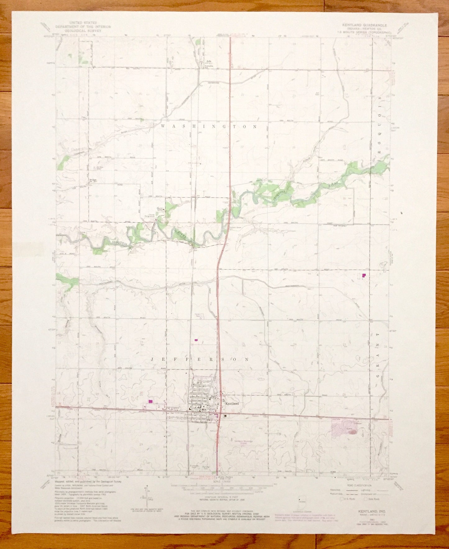
Antique Kentland, Indiana 1961 US Geological Survey Topographic Map – Washington, Iroquois, Jefferson, Grant, Ade, Newton County
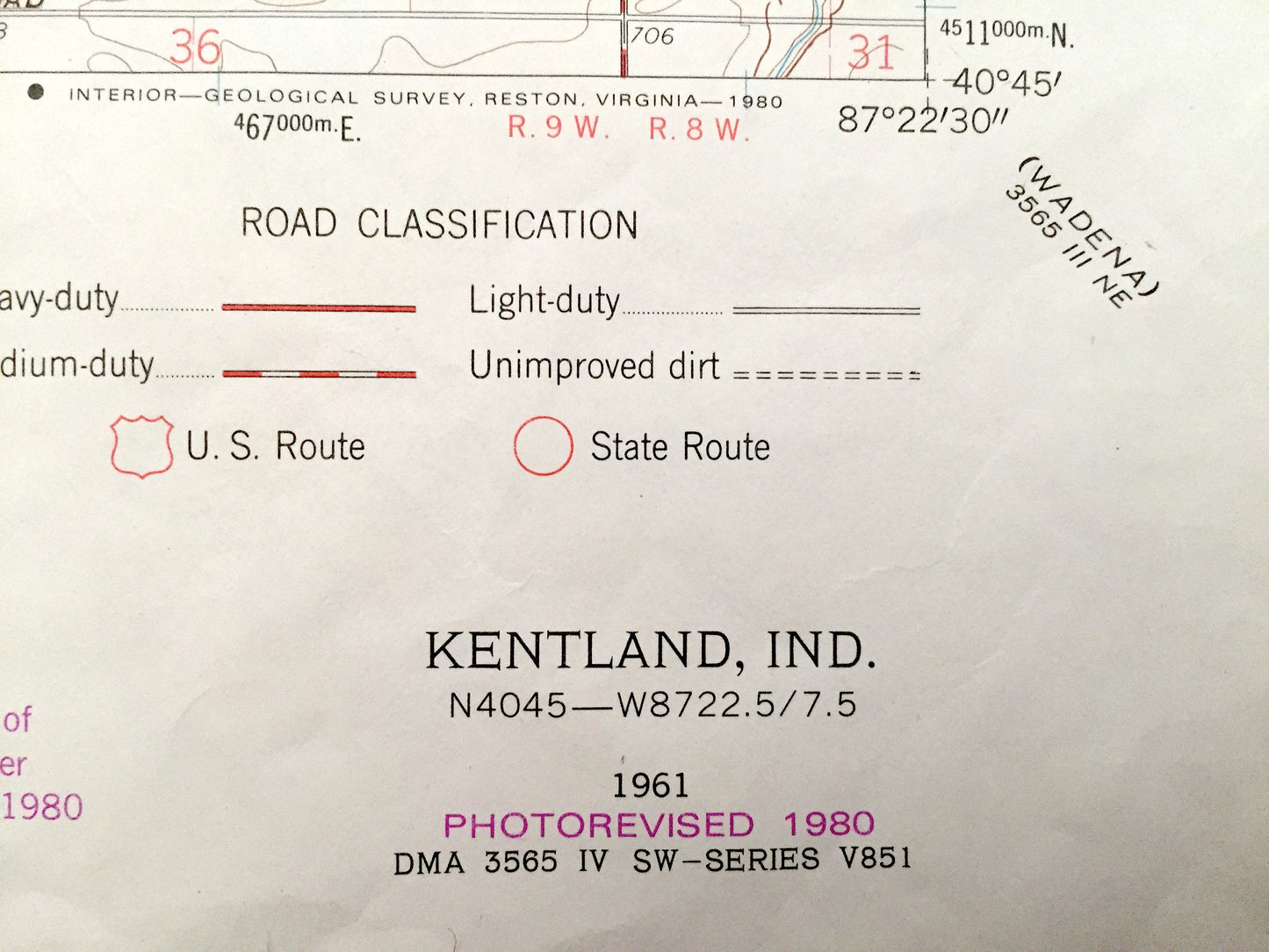
Antique Kentland, Indiana 1961 US Geological Survey Topographic Map – Washington, Iroquois, Jefferson, Grant, Ade, Newton County
Beautiful, antique map of Kentland, Washington & Jefferson, Indiana and surrounding Newton County area. This is an authentic 1961 edition, 1980 print from the U.S. Geological Survey and NOT a computer reproduction.
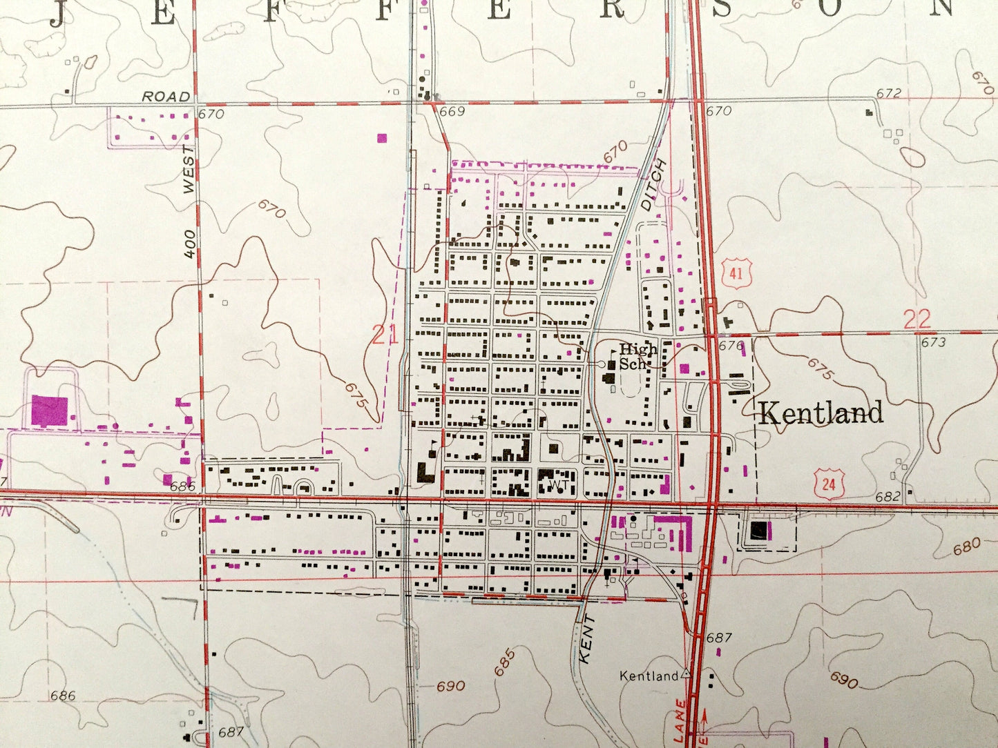
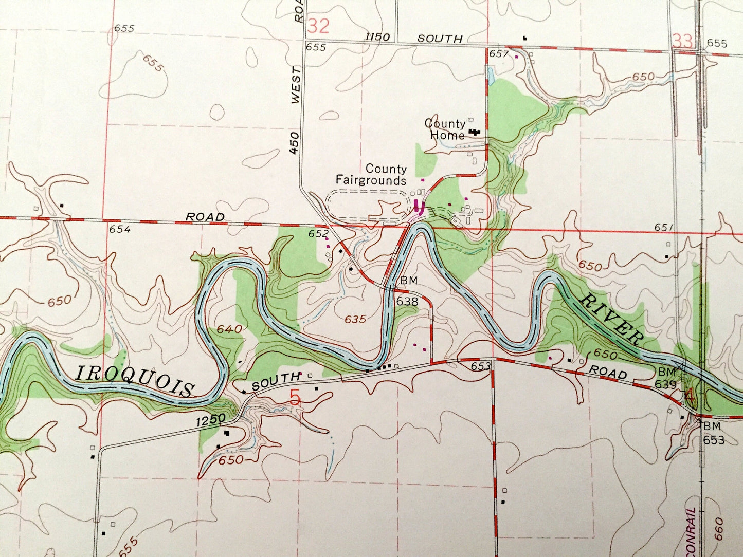
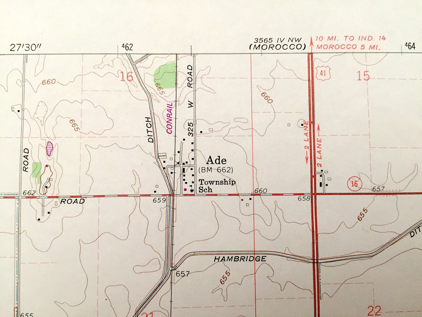
See what Indiana looked like over 55 years ago. Lots of intricate details and geological contours. Map even has little squares for every house that existed at the time. The USGS cartographers were very thorough back then!
Perfect for the historian, map-lover, the curious or just as a conversation starter. Wonderful and rare. Vintage maps such as these make great gifts.
Edition of 1961, printed 1980
Dimensions: 22" width x 27" height
----
Features
Cities & Towns: Washington, Iroquois, Jefferson, Grant, Ade, Kentland.
Points of Interest: Newton County, Iroquois River, Montgomery Ditch, County Fairgrounds, Kentland Municipal Airport, Toledo Peoria & Western Railroad and lots more creeks, hills, houses, schools, churches, train tracks and roads.
Condition: Very Good condition, commensurate with age. This map is in incredible shape for being almost 40 years old.
----
We will happily adjust shipping price for multiple purchases. Maps are rolled up and shipped in sturdy mailing tubes, never folded.
Couldn't load pickup availability
Share