My Store
Antique Keswick, Virginia 1964 US Geological Survey Topographic Map – Louisa, Albermarle County, Cismont, Cobham, Rugby, Campbell, Farm, VA
Antique Keswick, Virginia 1964 US Geological Survey Topographic Map – Louisa, Albermarle County, Cismont, Cobham, Rugby, Campbell, Farm, VA
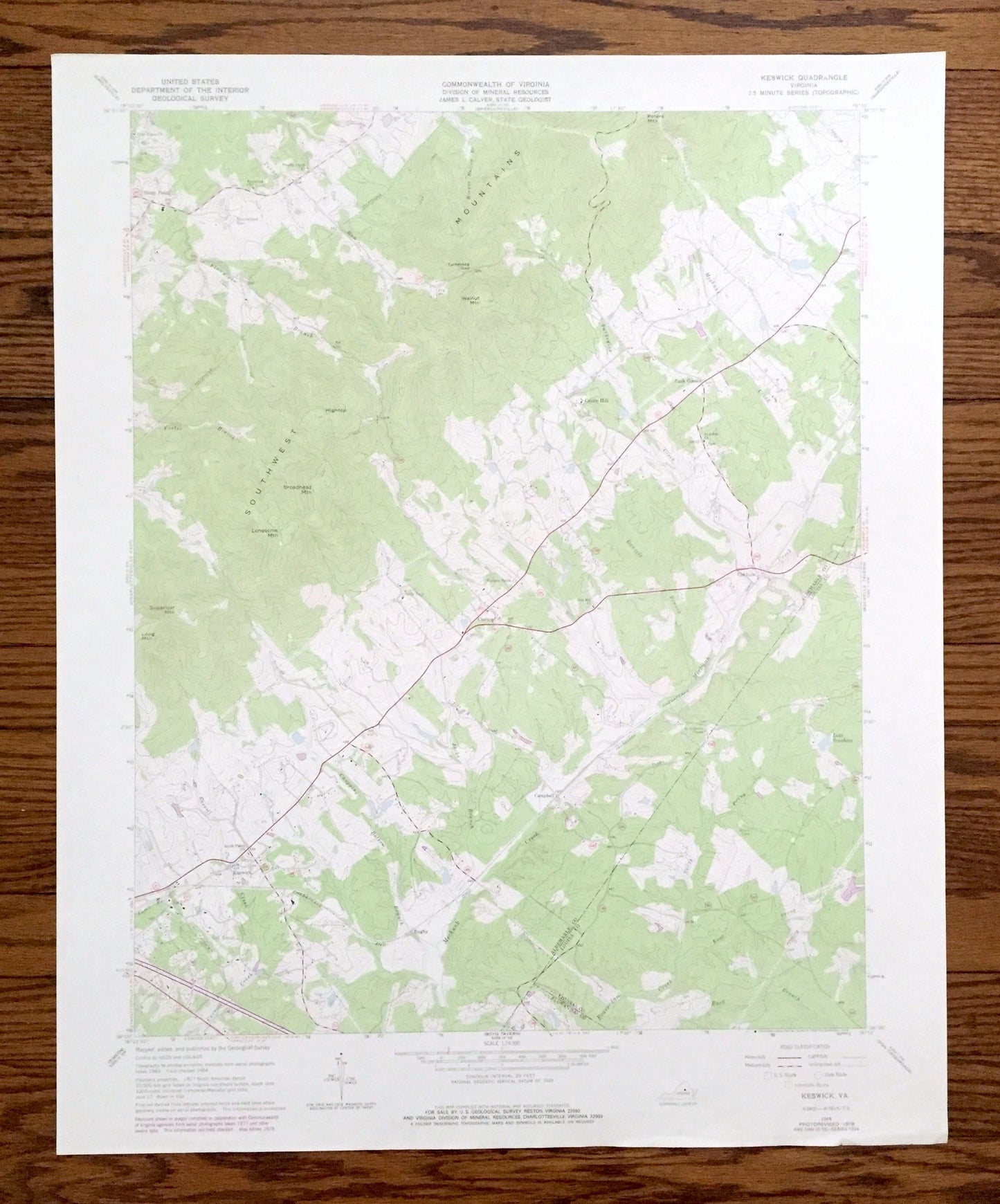
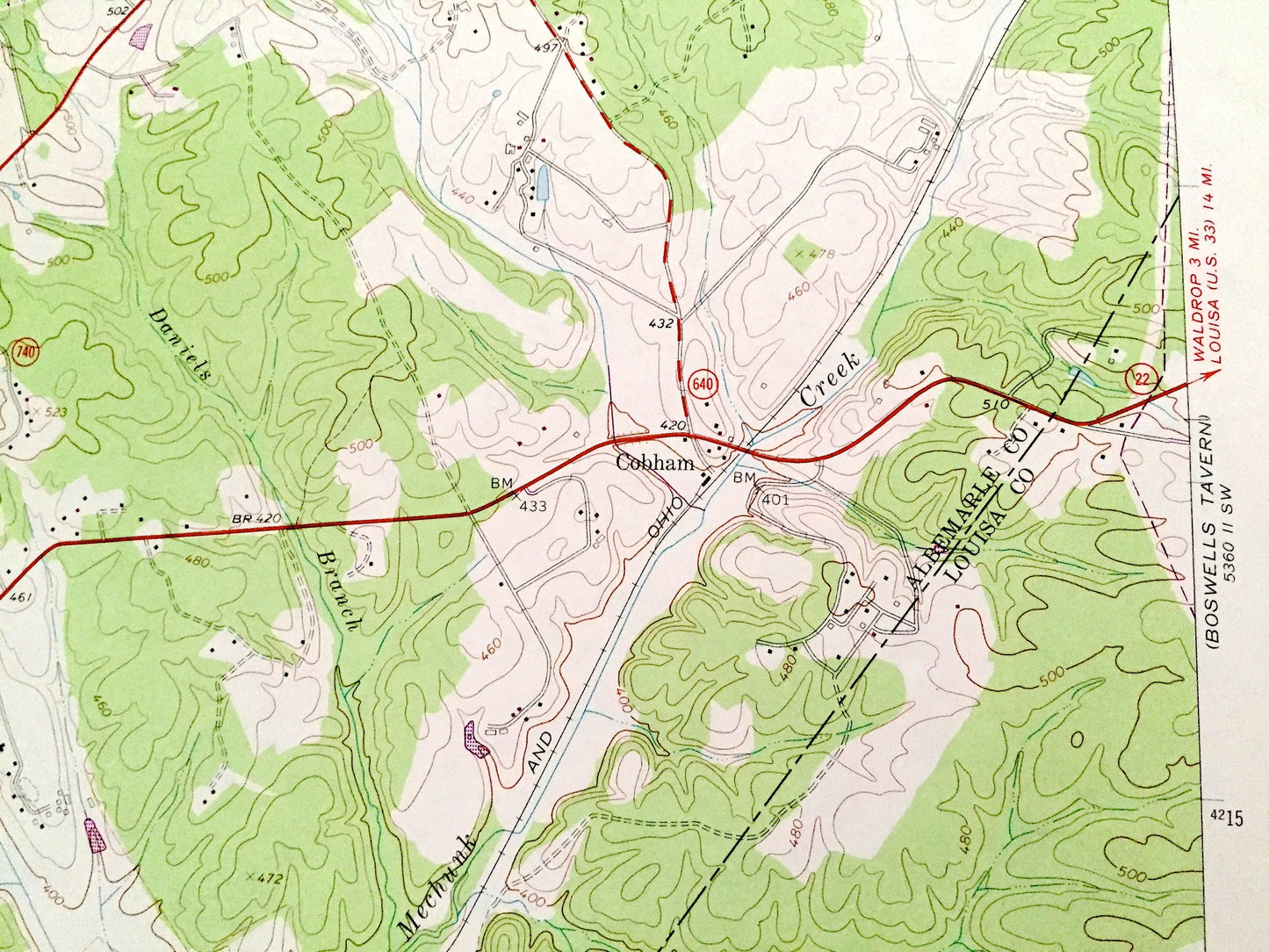
Beautiful, antique map of Keswick, Virginia and surrounding Albermarle & Louisa County area. This is an authentic 1964 edition, 1978 print from the U.S. Geological Survey and NOT a computer reproduction.
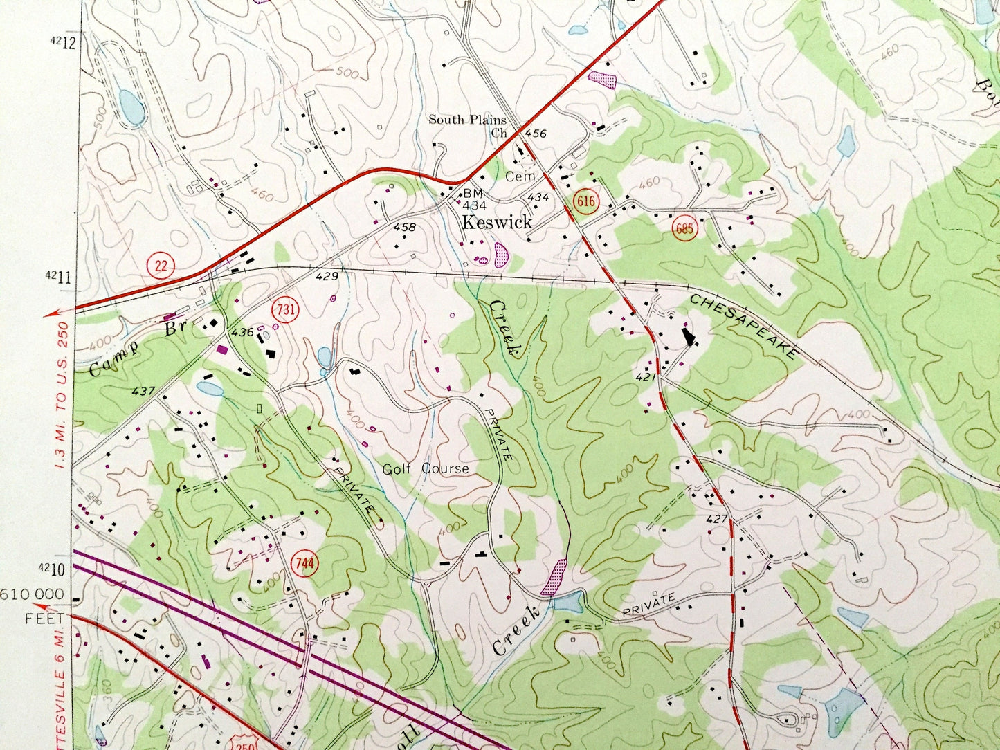
See what Virginia looked like over 50 years ago. Lots of intricate details and geological contours. Map even has little squares for every house that existed at the time. The USGS cartographers were very thorough back then!
Perfect for the historian, map-lover, the curious or just as a conversation starter. Wonderful and rare. Vintage maps such as these make great gifts.
Edition of 1954, printed 1978
Dimensions: 22" width x 27" height
----
Features
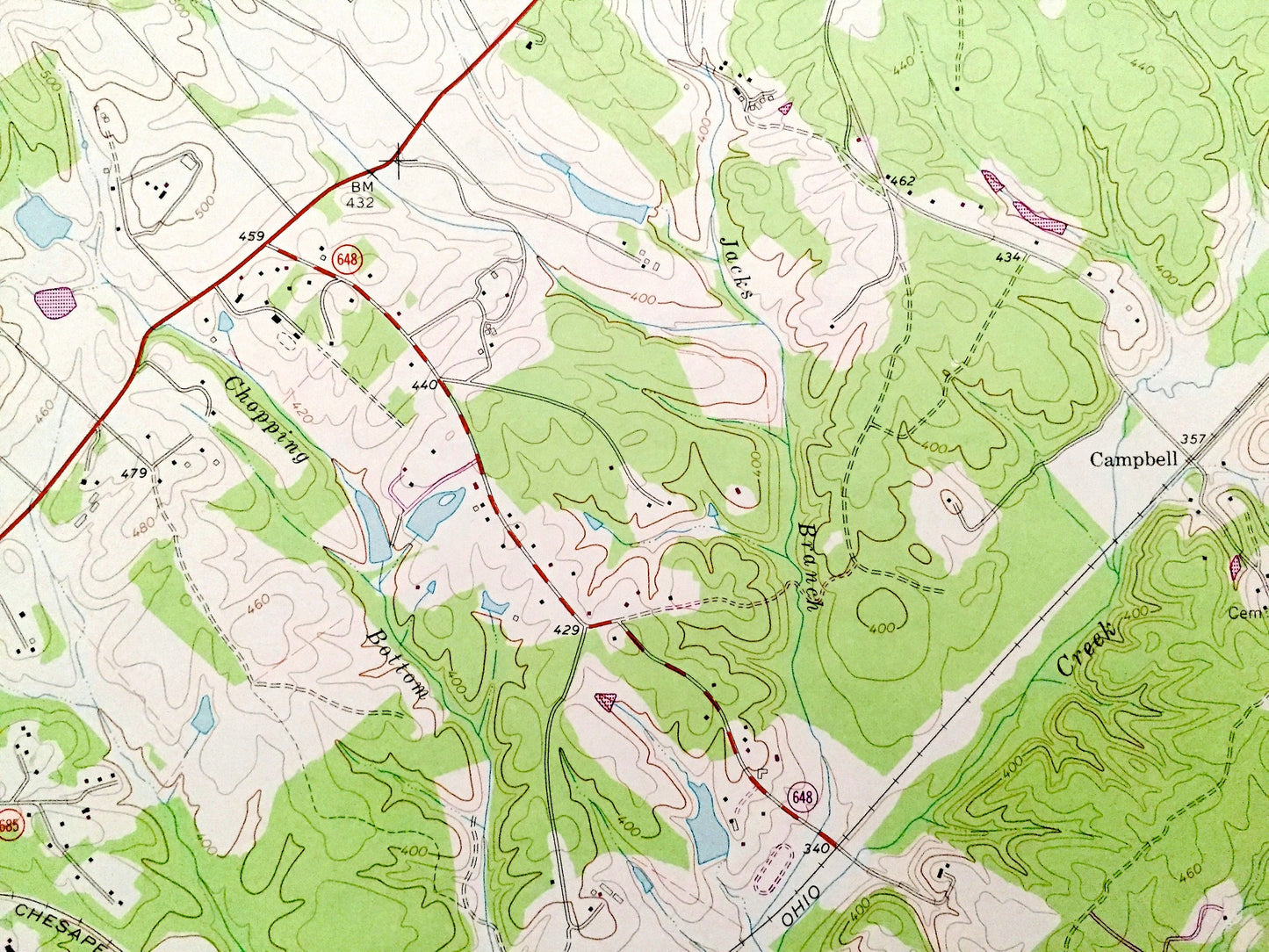
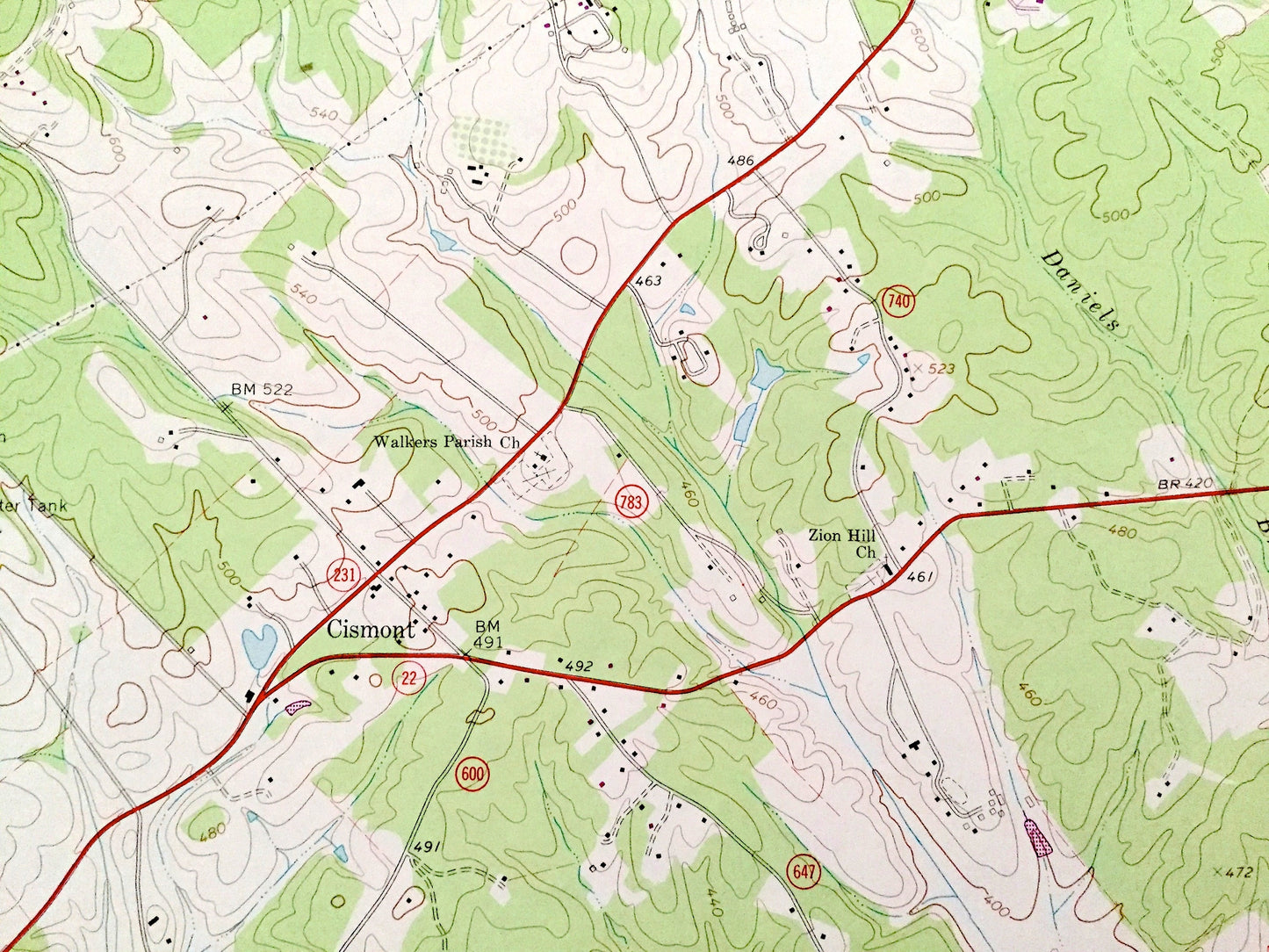
Cities & Towns: Keswick, Stony Point, Castle Hill, Cobham, Cismont, Campbell, Rugby, Cash Corner.
Points of Interest: Albermarle County, Louisa County, Fluvanna County, Southwest Mountains, Walnut Mountain, Peters Mountain, Chopping Bottom Branch, Beaverdam Creek, Turkeysag Gap, Sugarloaf Mountain, Long Mountain, Mechunk Creek, Carroll Creek, Lake Senaham and many more farms, hills, streams, ponds, houses, schools, churches and roads.
Condition: Good Vintage condition, commensurate with age. This map is in great shape for being over 40 years old. Has light wear but this will add to vintage character when framed.
----
We will happily adjust shipping price for multiple purchases. Maps are rolled up and shipped in sturdy mailing tubes, never folded.
Couldn't load pickup availability
Share