My Store
Antique Killingly, Connecticut 1945 US Geological Survey Topographic Map – Plainfield, Sterling, Gloucester, Foster, Rhode Island, CT RI
Antique Killingly, Connecticut 1945 US Geological Survey Topographic Map – Plainfield, Sterling, Gloucester, Foster, Rhode Island, CT RI
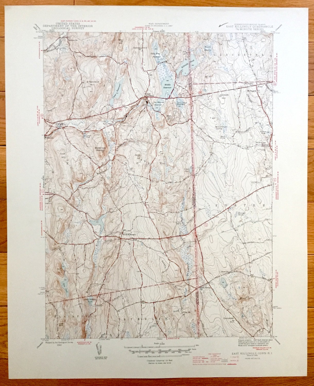
Beautiful, antique map of Killingly, Connecticut and surrounding Winham County area including Providence County, Rhode Island. This is an authentic 1945 print from the U.S. Geological Survey and NOT a computer reproduction.
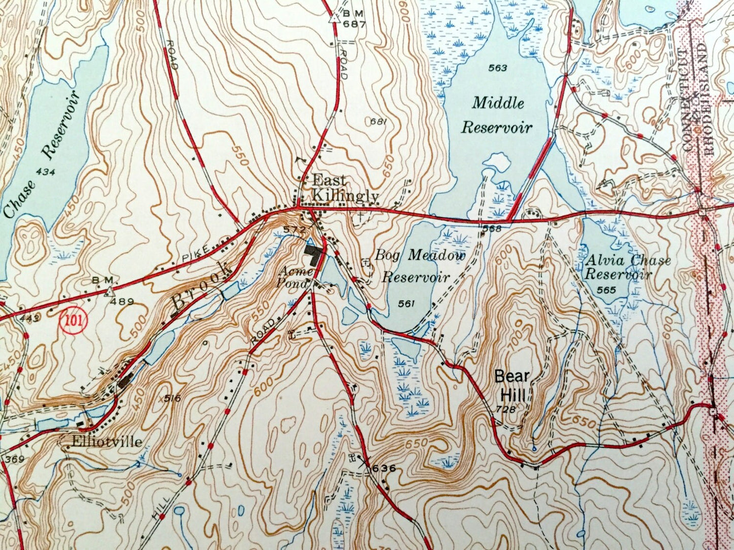
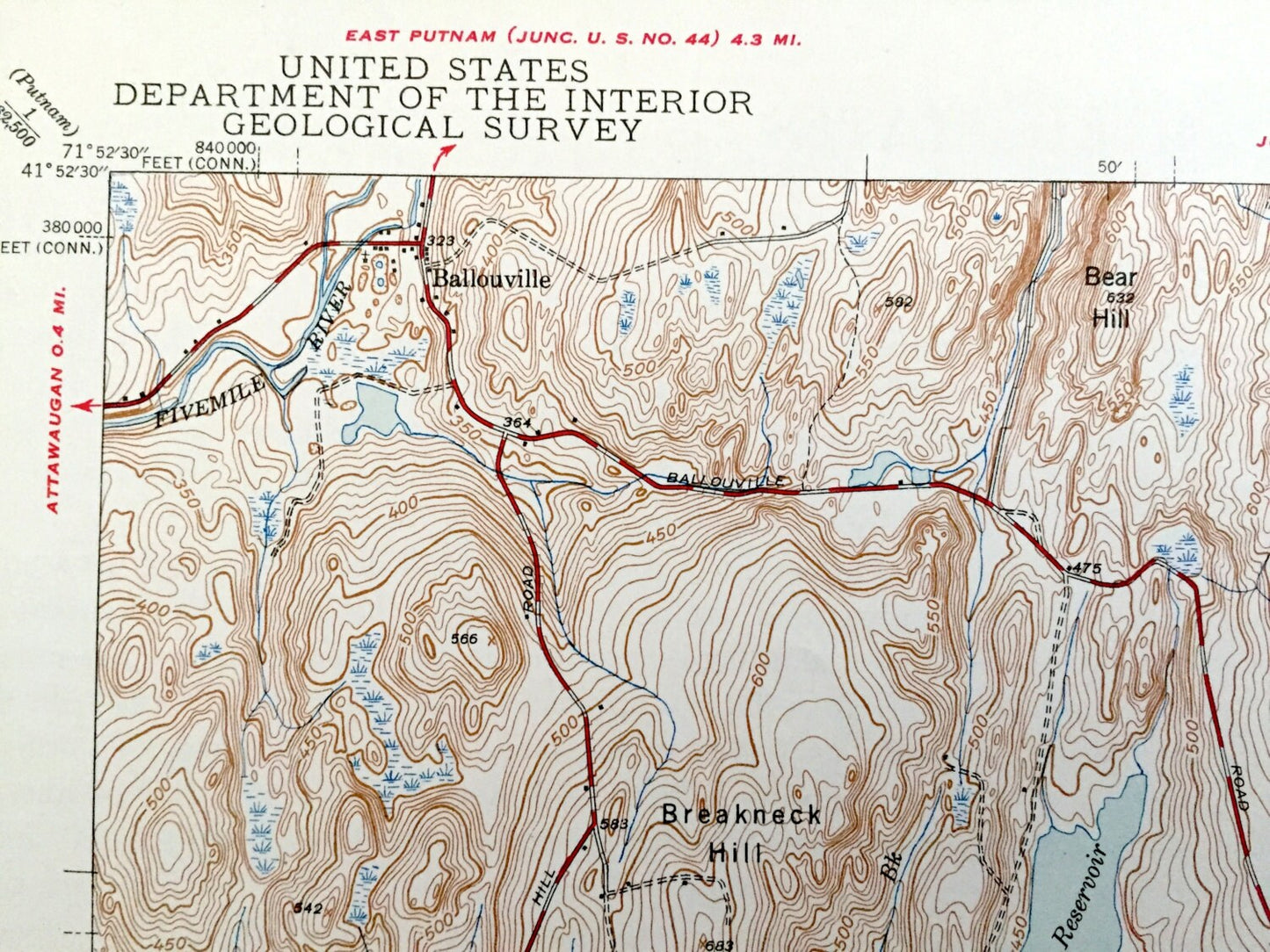
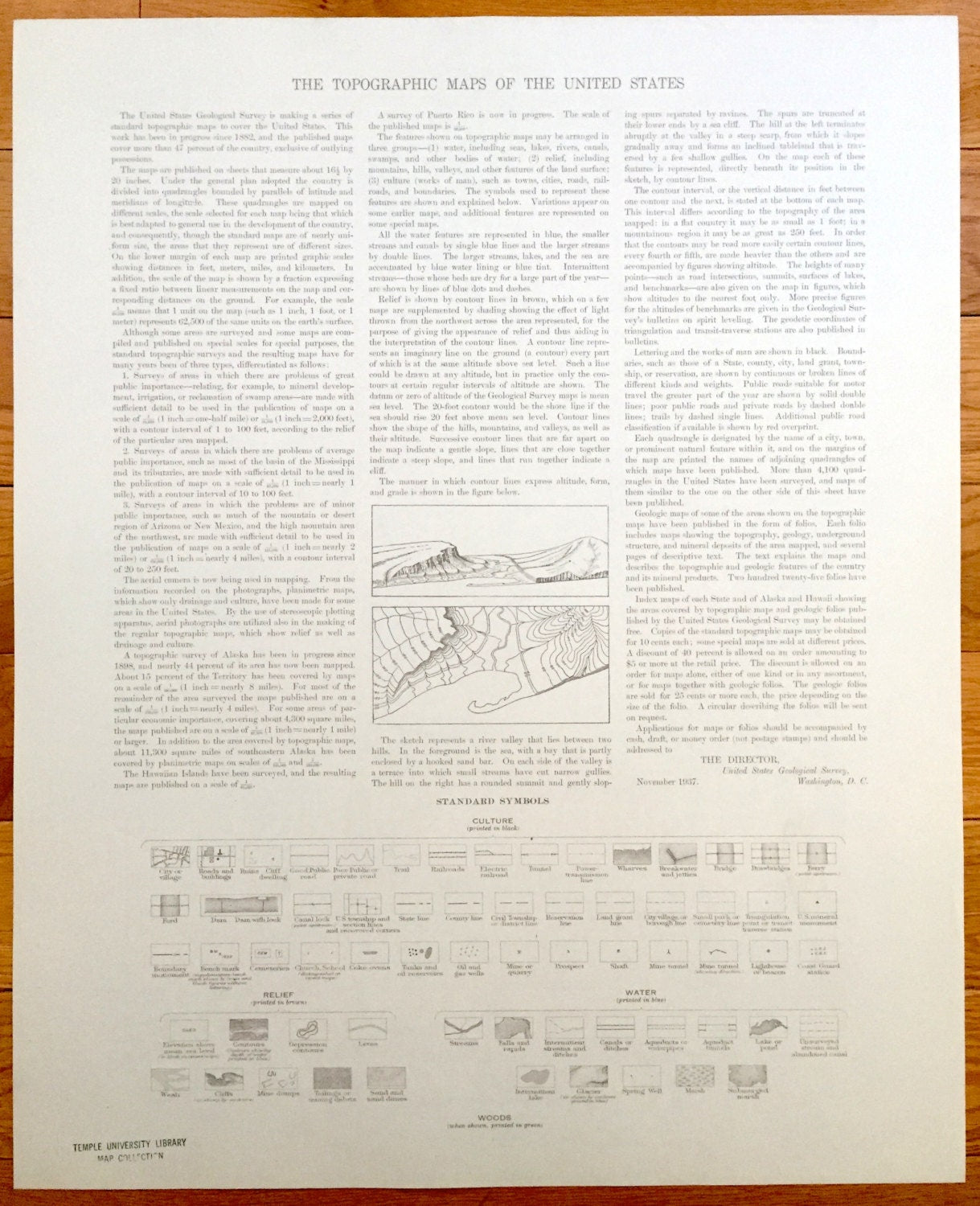
See what the border of Connecticut and Rhode Island looked like over 75 years ago. Lots of intricate details and geological contours. Map even has little squares for every house that existed at the time. The cartographers were very thorough back then! On the back is a description of topographic symbols and map guide.
Perfect for the historian, map-lover, the curious or just as a conversation starter. Wonderful and rare. Maps such as these make great gifts.
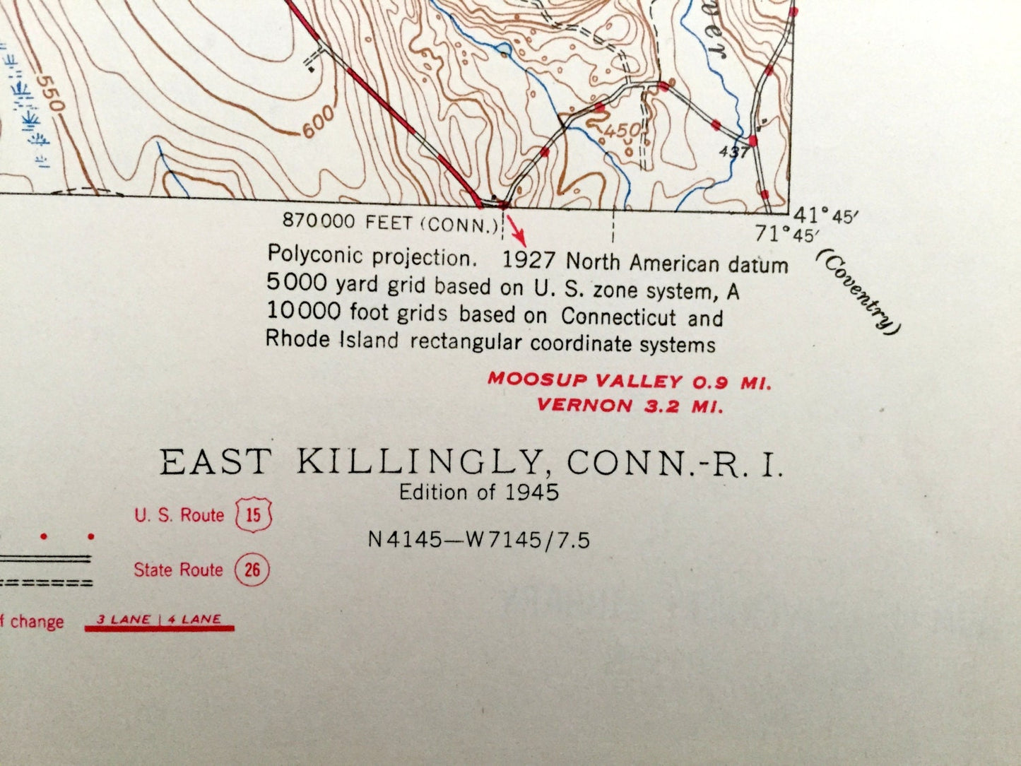
Edition of 1945, printed 1945
Dimensions: 17" width x 21" height
----
Features
Cities & Towns:
CONNECTICUT: Ballouville, East Killingly, Killingly, Elliotville, South Killingly, Plainfield, Sterling.
RHODE ISLAND: Gloucester, Foster, North Foster.
Points of Interest:
CONNECTICUT: Bear Hill, Killingly Pond, Bog Meadow Reservoir, Valley School, Titus School, Mashentuck Mountain, Breakneck Hill, Half Hill, Chase Reservoir, Chestnut Hill, Fivemile River.
RHODE ISLAND: Wood School, Palm of Gilead Swamp, Mount Hygeia, Mount Hygeia School, Moosup River, Cucumber Hill and lots more hills, mountains, creeks, towns, schools, and roads.
Condition: Very Good Vintage condition, commensurate with age. This map is in great shape for being over 75 years old.
----
We will happily adjust shipping price for multiple purchases. Maps are rolled up and shipped in sturdy mailing tubes, never folded.
Couldn't load pickup availability
Share