My Store
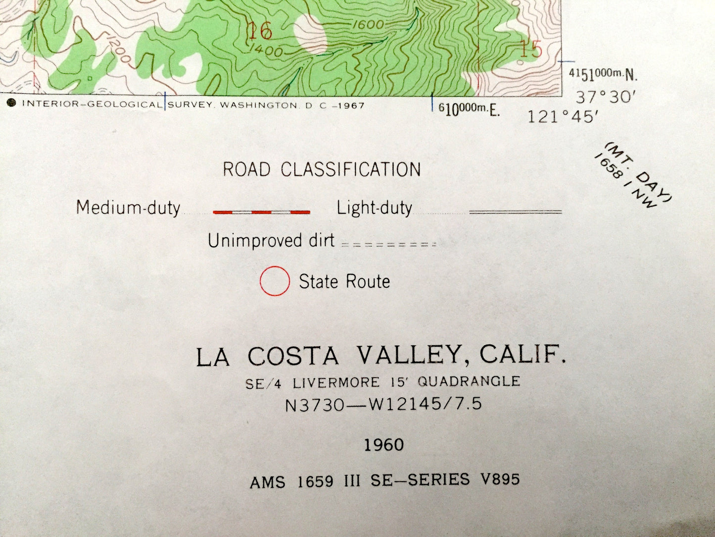
Antique La Costa Valley, California 1960 US Geological Survey Topographic Map – Alameda County, Scotts Corner, Valle de San Jose, Sunol, CA
Antique La Costa Valley, California 1960 US Geological Survey Topographic Map – Alameda County, Scotts Corner, Valle de San Jose, Sunol, CA
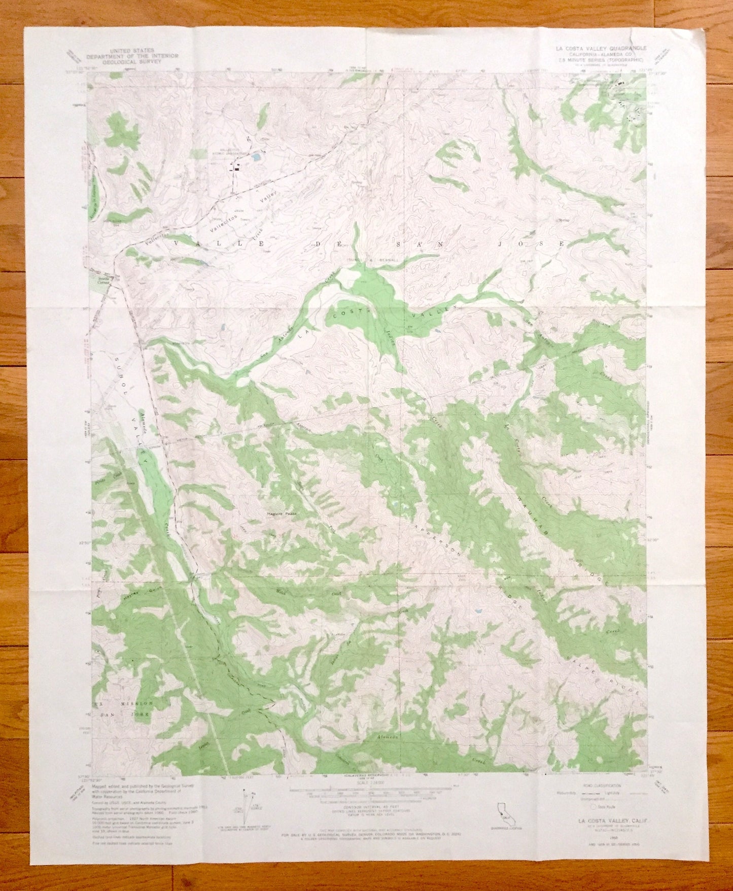
Beautiful, antique map of La Costa Valley, California and surrounding Alameda County area. This is an authentic 1960 print from the U.S. Geological Survey and NOT a computer reproduction.
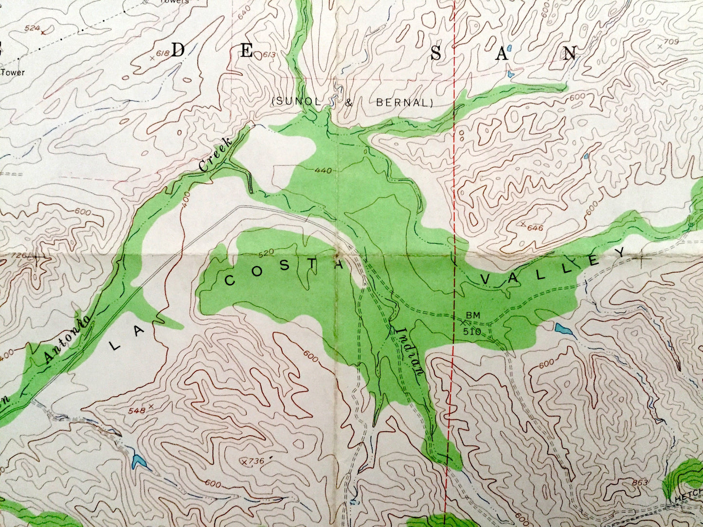
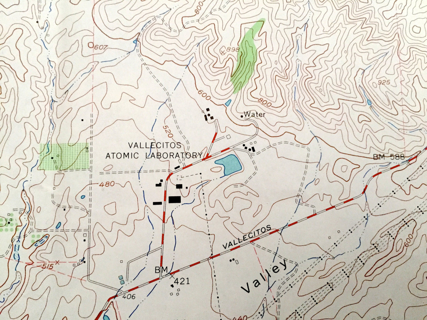
See what California looked like almost 60 years ago. Lots of intricate details and geological contours. Map even has little squares for every house that existed at the time. The USGS cartographers were very thorough back then!
Perfect for the historian, map-lover, the curious or just as a conversation starter. Wonderful and rare. Vintage maps such as these make great gifts.
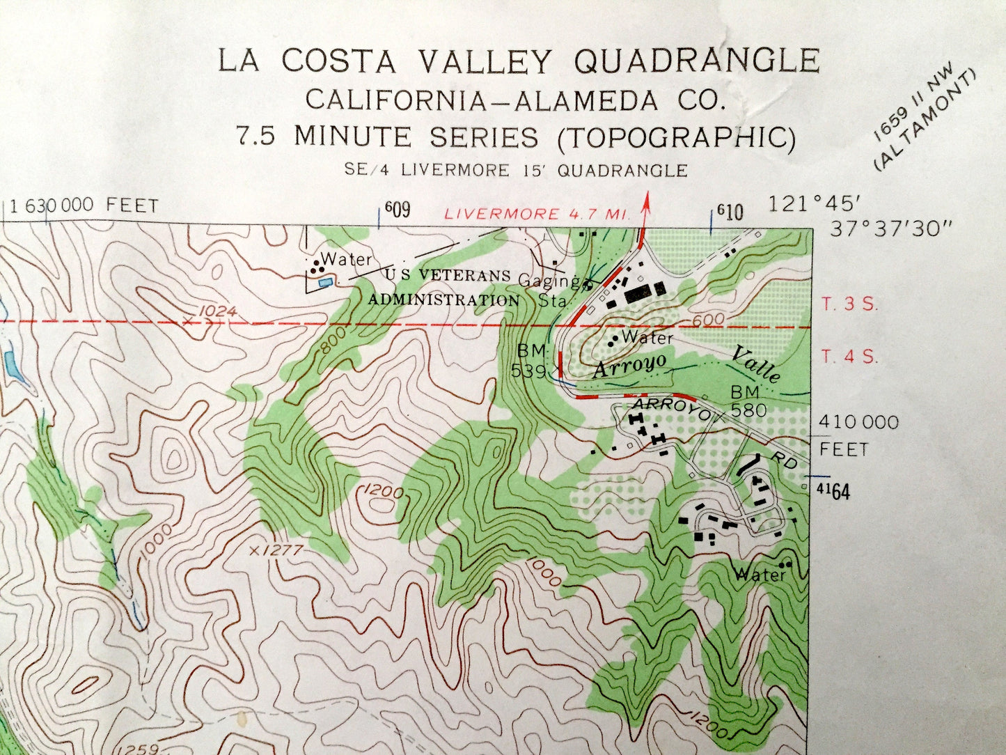
Edition of 1960, printed 1960
Dimensions: 22" width x 27" height
----
Features
Cities & Towns: Scotts Corner, Valle de San Jose.
Points of Interest: La Costa Valley, Vallecitos Valley, San Antonio Creek, Sunol Valley, Haynes Gulch, Apperson Ridge, Wauhab Ridge, Valpe Ridge, Williams Gulch, Maguire Peaks, Alameda Creek, and many more hills, streams, ponds, houses, schools, churches and roads.
Condition: Very Good condition, commensurate with age. This map is in incredible shape for being almost 60 years old. Has some fold marks, but this will read as vintage character when framed.
----
We will happily adjust shipping price for multiple purchases. Maps are rolled up and shipped in sturdy mailing tubes, never folded.
Couldn't load pickup availability
Share