My Store
Antique Lake Ariel, Pennsylvania 1966 US Geological Survey Topographic Map - Wayne, Lackawanna County, Jefferson, Madison, Salem, Poconos PA
Antique Lake Ariel, Pennsylvania 1966 US Geological Survey Topographic Map - Wayne, Lackawanna County, Jefferson, Madison, Salem, Poconos PA
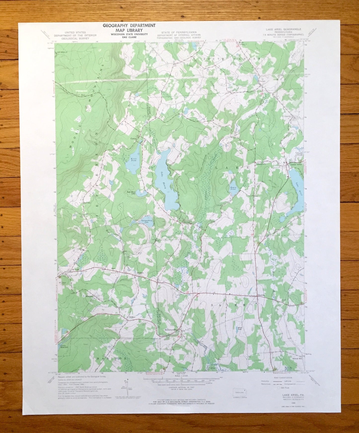
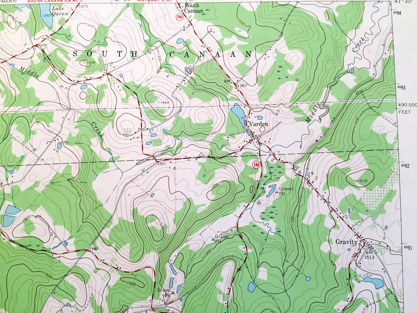
Beautiful, antique map of Lake Ariel, Pennsylvania and surrounding Wayne County and Lackawanna County areas. This is an authentic 1966 edition, 1967 print from the U.S. Geological Survey and NOT a computer reproduction.
See what Pennsylvania looked like over 55 years ago. Lots of intricate details and geological contours. Map even has little squares for every house that existed at the time. The USGS cartographers were very thorough back then!
Perfect for the historian, map-lover, the curious or just as a conversation starter. Wonderful and rare. Vintage maps such as these make great gifts.
Edition of 1966, printed 1967
Dimensions: 22" width x 27" height
----
Features
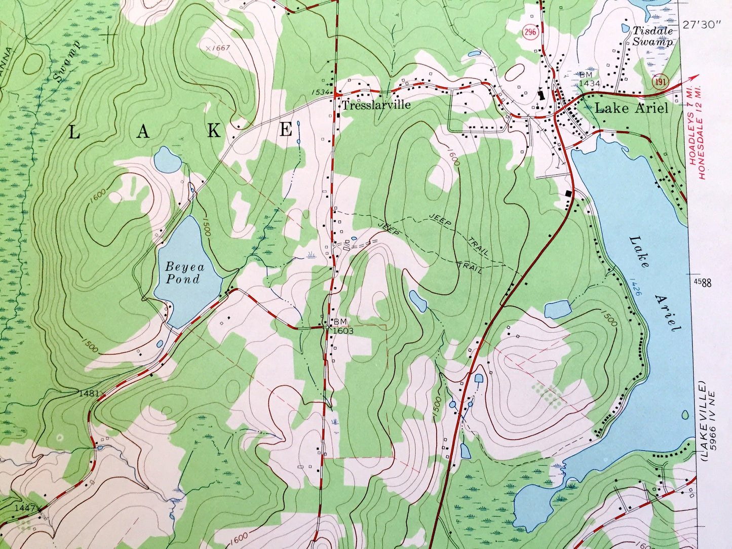
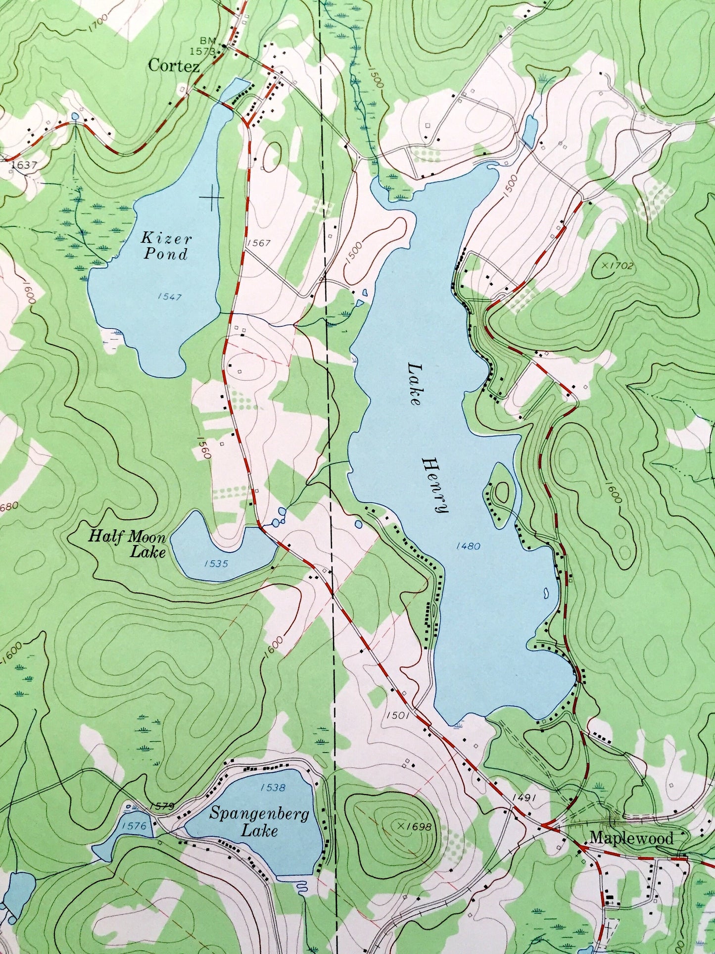
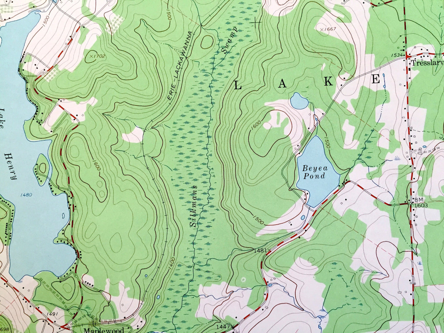
Cities & Towns: Jefferson, Lake, Salem, Madison, South Canaan, Archbald, Varden, Cortez, Mt Cobb, Elmdale, Wimmers, Saco, Drinker, Hollisterville, Hamlin, Bidwell Hill, Maplewood, Tresslarville, Red Oak, Gravity, Sterling.
Points of Interest: Moosic Mountains, Kizer Pond, Lake Henry, Beyea Pond, Lake Quinn, Spangenberg Lake, Half Moon Lake, Meigs Pond, Curtis Reservoir, Tisdale Swamp, Silkmans Swamp, West Branch Wallenpaupack Creek, Wilcox Creek, Moss Hollow Creek, and many more hills, streams, ponds, houses, schools, railroads, churches and roads.
Condition: Very Good Vintage condition, commensurate with age. This map is in great shape for being over 55 years old.
----
We will happily adjust shipping price for multiple purchases. Maps are rolled up and shipped in sturdy mailing tubes, never folded.
Couldn't load pickup availability
Share