My Store
Antique Lake Tahoe, California 1955 US Geological Survey Topographic Map – Tahoe Valley, Al Tahoe, Bijou, Stateline, Zephyr Cove, Nevada CA
Antique Lake Tahoe, California 1955 US Geological Survey Topographic Map – Tahoe Valley, Al Tahoe, Bijou, Stateline, Zephyr Cove, Nevada CA
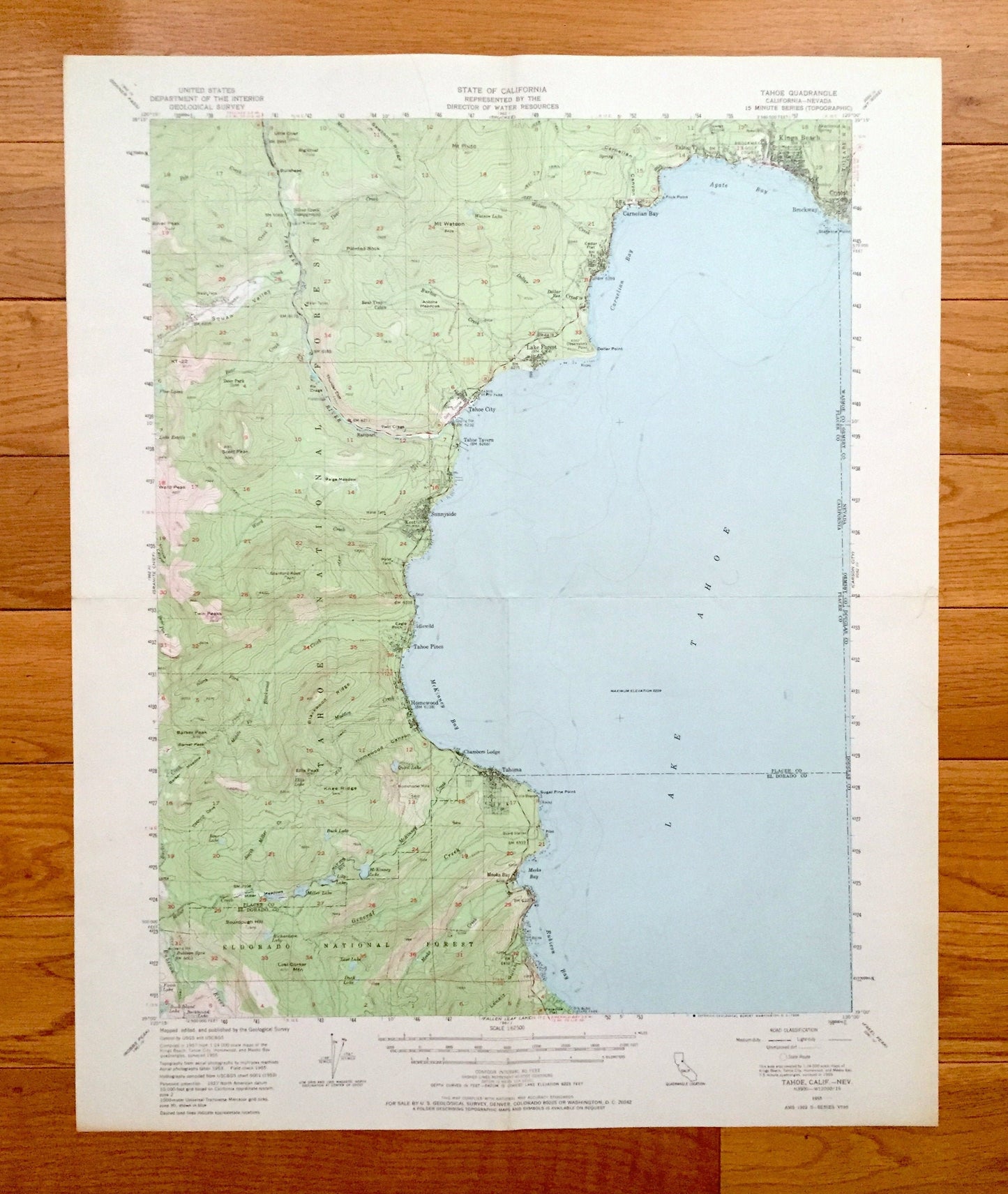
Beautiful, antique map of Lake Tahoe, California & Nevada and surrounding Placer County, El Dorado County, Ormsey County & Douglas County areas. This is an authentic 1955 edition, 1966 print from the U.S. Geological Survey and NOT a computer reproduction.
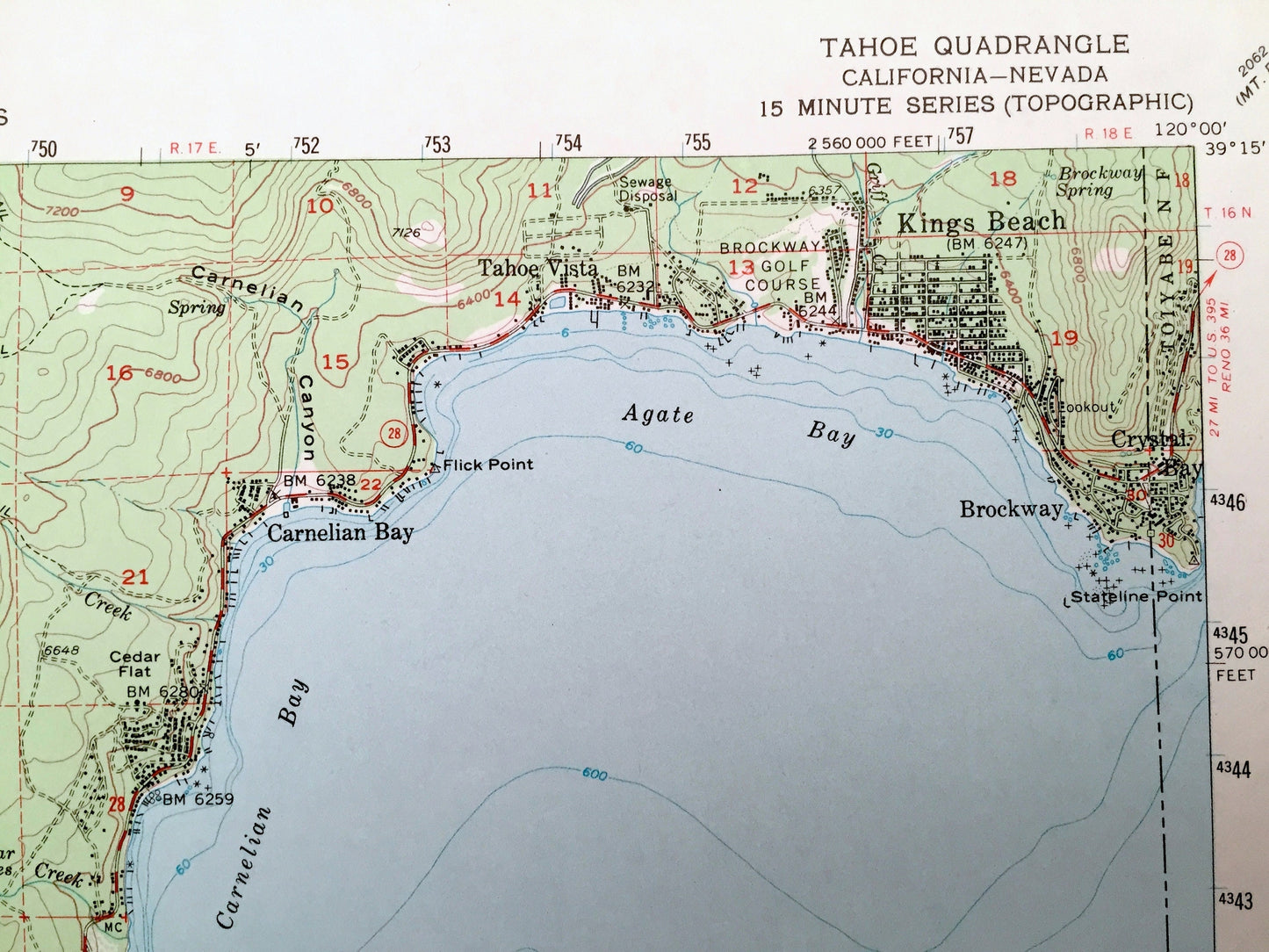
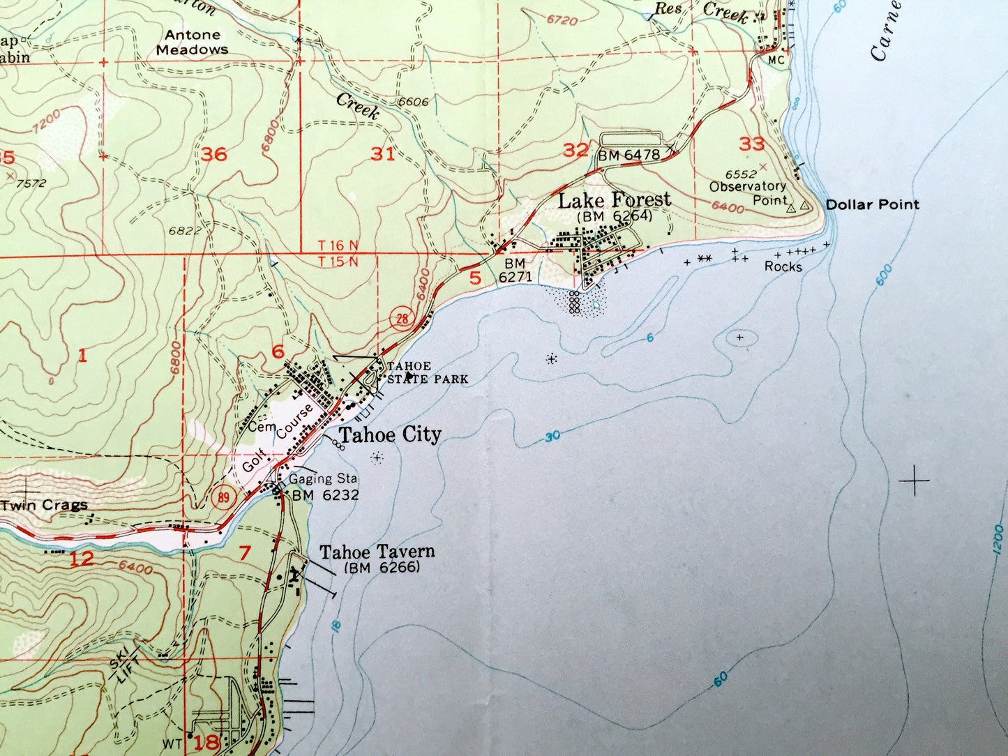
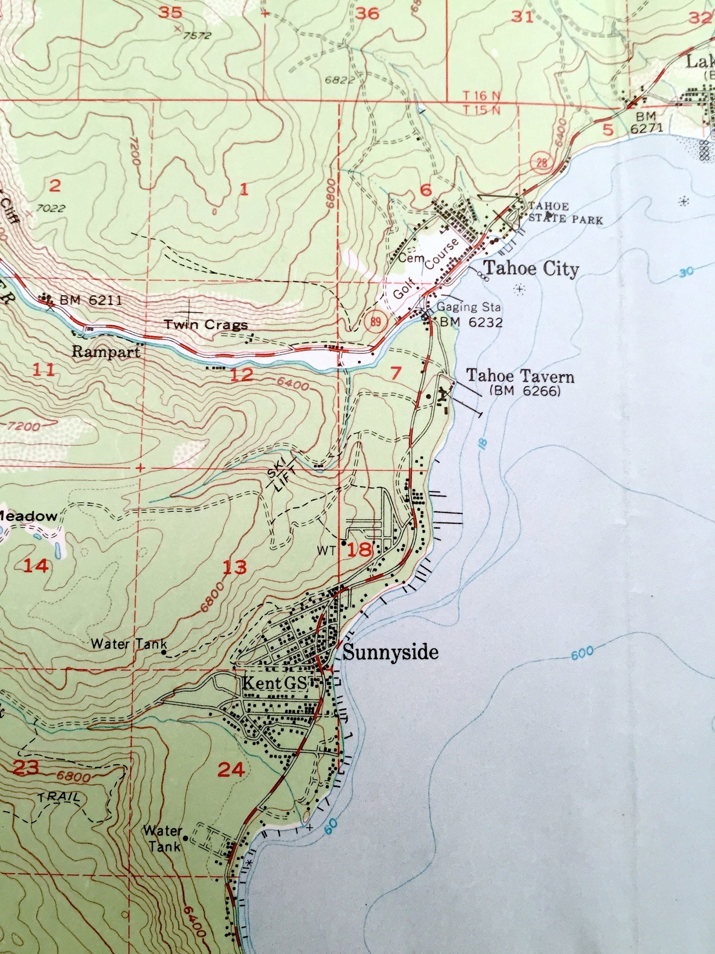
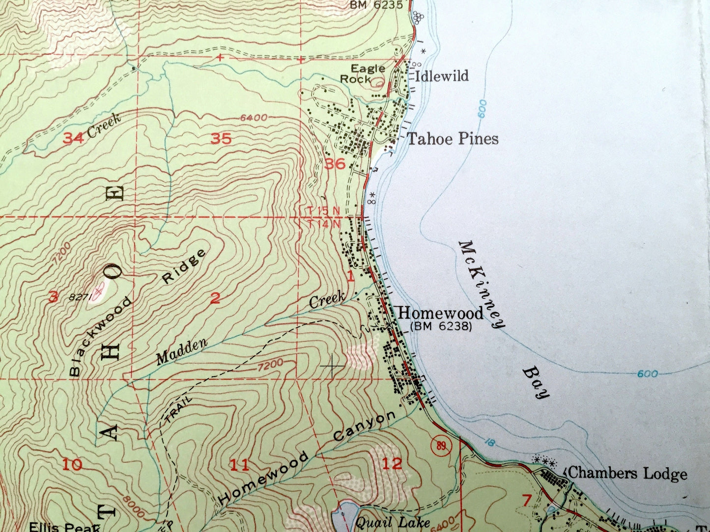
See what Lake Tahoe looked like more than 65 years ago. Lots of intricate details and geological contours. Map even has little squares for every house that existed at the time. The USGS cartographers were very thorough back then!
Perfect for the historian, map-lover, the curious or just as a conversation starter. Wonderful and rare. Vintage maps such as this make great gifts.
Edition of 1955, printed 1966
Dimensions: 17" width x 21" height
----
Features
Cities & Towns: Kings Beach, Crystal Bay, Brockway, Tahoe Vista, Carnelian Bay, Lake Forest, Tahoe City, Tahoe Tavern, Sunnyside, Idlewild, Tahoe Pines, Homewood, Chambers Lodge, Tahoma, Meeks Bay, Rampart.
Points of Interest: Lake Tahoe, Tahoe National Forest, Eldorado National Forest, Agate Bay, Carnelian Bay, McKinney Bay, Meeks Bay, Sugar Pine Point, Rubicon Bay, Truckee River, McKinney Creek, Rubicon River, Mt Watson, Squaw Valley, Paige Meadow, Ward Peak, and many more small towns, springs, train tracks, valleys, hills and creeks.
Condition: Very Good Vintage condition, commensurate with age. This map is in great shape for being more than 55 years old. Some light edge wear and folds as-issued, but these will flatten easily, and all of which will add to vintage character when framed.
----
We will happily adjust shipping price for multiple purchases. Maps are rolled up and shipped in sturdy mailing tubes, never folded.
Couldn't load pickup availability
Share