My Store
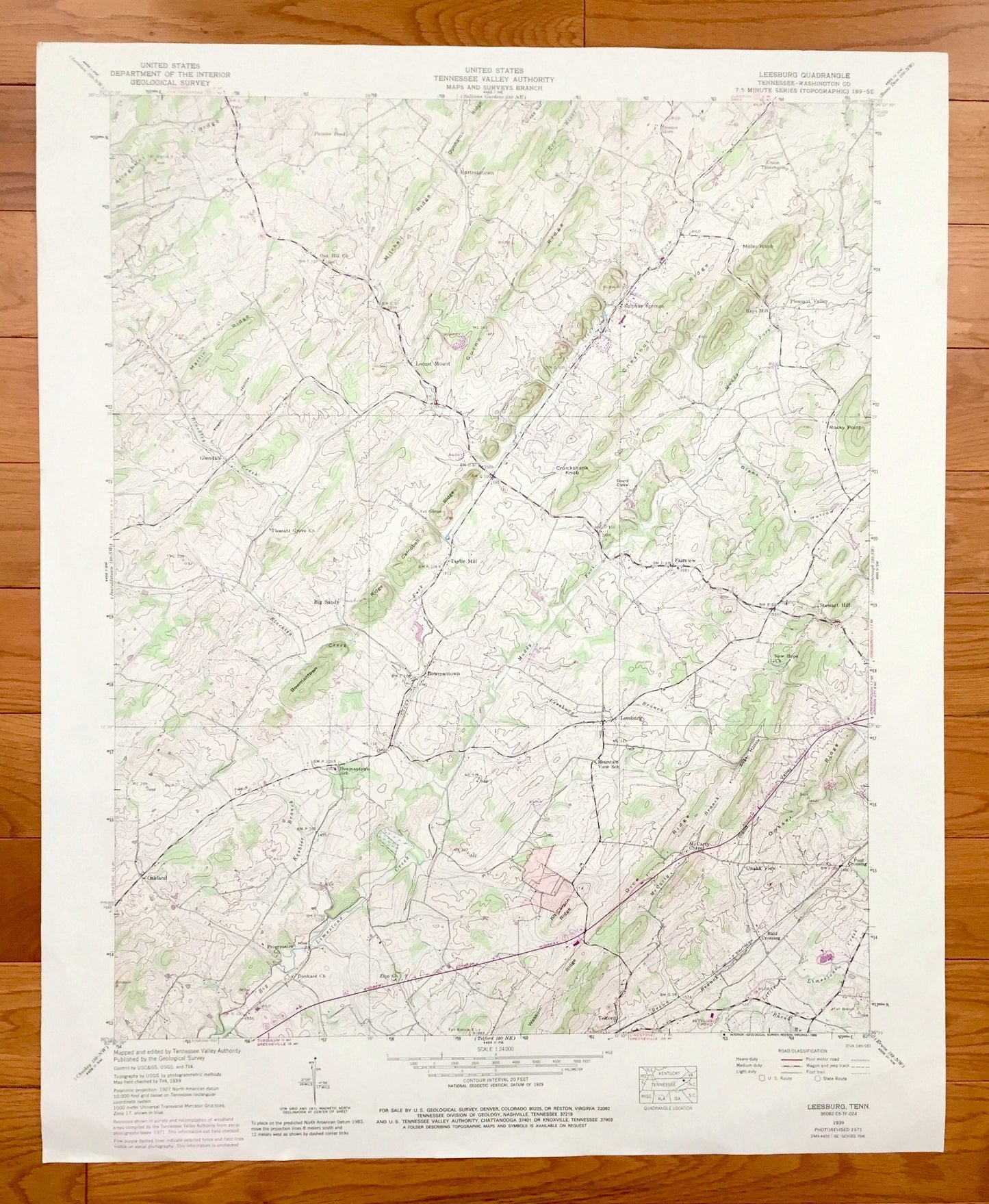
Antique Leesburg, Tennessee 1939 US Geological Survey Topographic Map – Washington County, Stewart Hill, Fairview, Unaka View, Bowmantown TN
Antique Leesburg, Tennessee 1939 US Geological Survey Topographic Map – Washington County, Stewart Hill, Fairview, Unaka View, Bowmantown TN
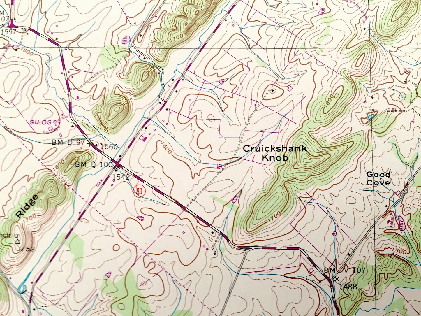
Beautiful, antique map of Leesburg, Tennessee and surrounding Washington County area. This is an authentic 1939 edition, 1988 print from the U.S. Geological Survey and NOT a computer reproduction.
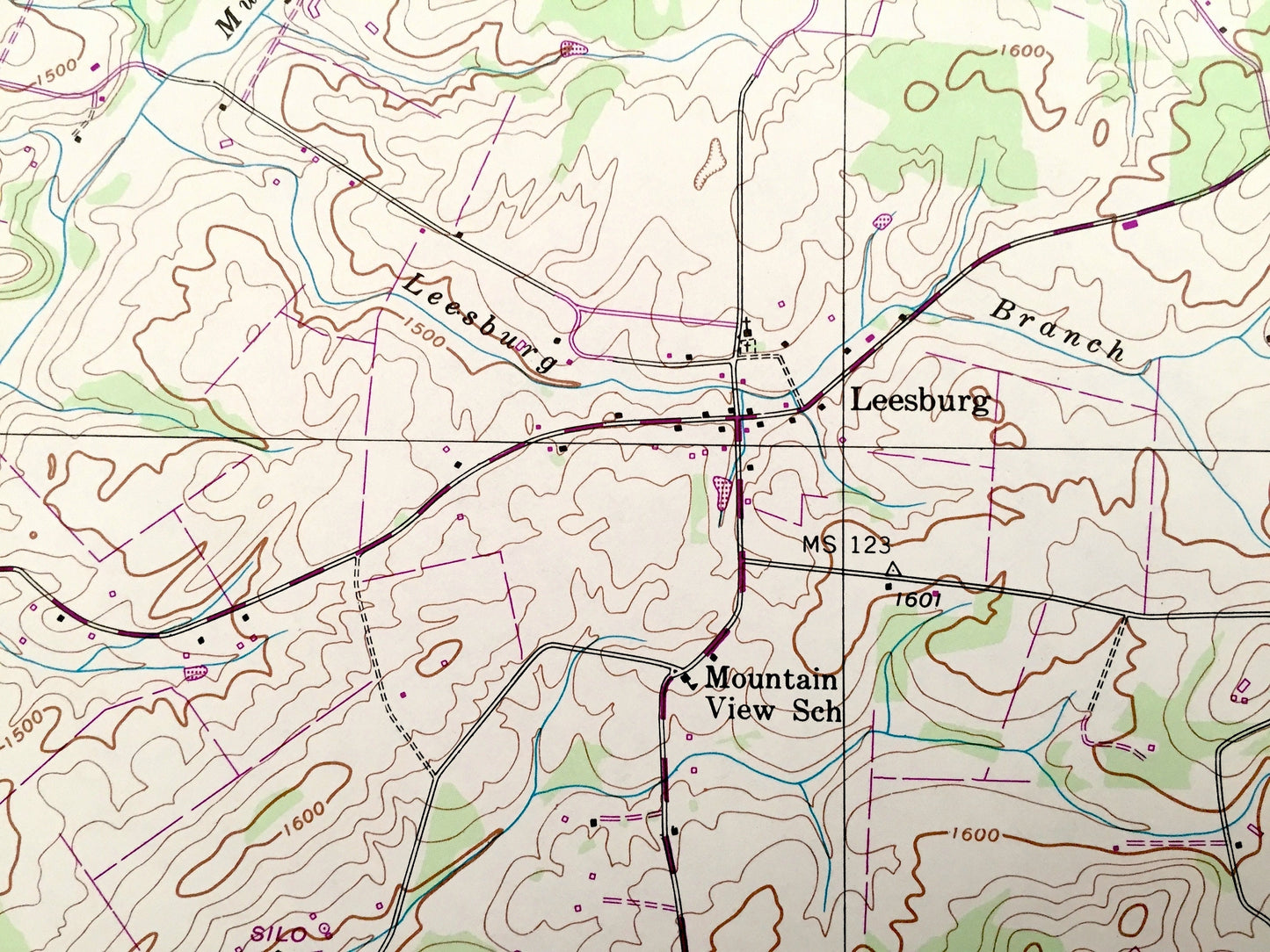
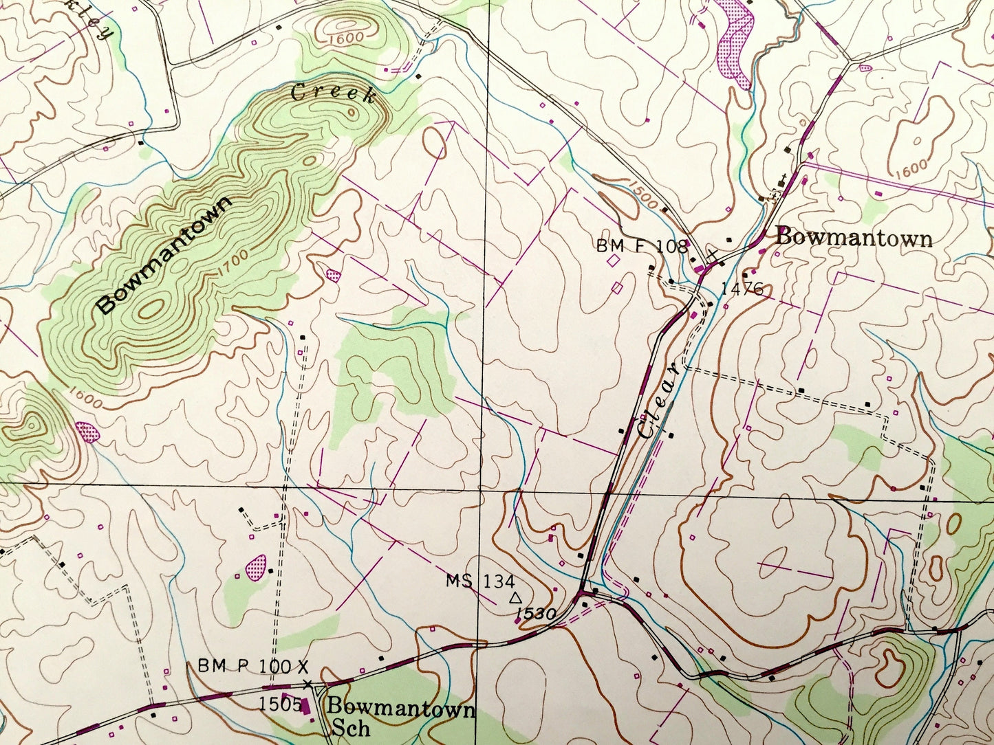
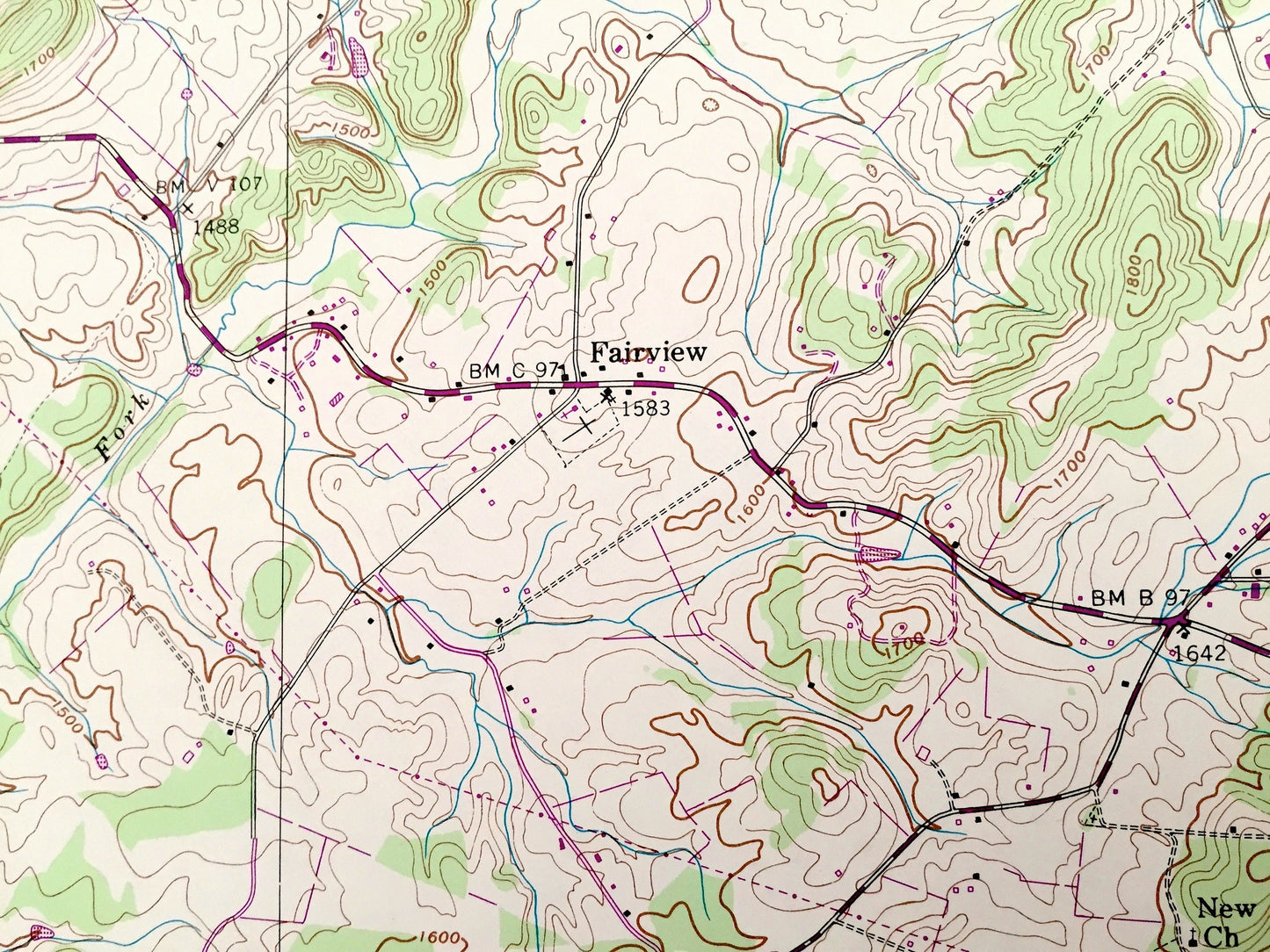
See what Tennessee looked like over 80 years ago. Lots of intricate details and geological contours. Map even has little squares for every house that existed at the time. The USGS cartographers were very thorough back then!
Perfect for the historian, map-lover, the curious or just as a conversation starter. Wonderful and rare. Vintage maps such as these make great gifts.
Edition of 1939, printed 1988
Dimensions: 22" width x 27" height
----
Features
Cities & Towns: Leesburg, Telford, Oakland, Ford Crossing, Taylor Mill, Glendale, Big Sandy, Hartmantown, Sulphur Springs, Pleasant Valley, Keys Mill, Locust Mount, Stewart Hill, Fairview, Unaka View, Bowmantown.
Points of Interest: Washington County, Martin Ridge, Bowmantown Ridge, Campbell Ridge, Rocky Point, Cruickshank Knob, Big Limestone Creek, Blackley Creek, Good Cove, and lots more hills, mountains, creeks, ponds, brooks, towns, schools, churches, roads and railroads.
Condition: Good Vintage condition, commensurate with age. This map is in great shape for being 30 years old. Has light wear but this will all add to vintage character when framed.
----
We will happily adjust shipping price for multiple purchases. Maps are rolled up and shipped in sturdy mailing tubes, never folded.
Couldn't load pickup availability
Share