My Store
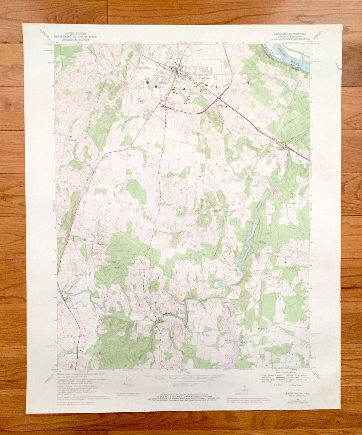
Antique Leesburg, Virginia 1968 US Geological Survey Topographic Map – Loudoun County, Woodburn Leedsville Oatlands Trap Rock Maryland VA MD
Antique Leesburg, Virginia 1968 US Geological Survey Topographic Map – Loudoun County, Woodburn Leedsville Oatlands Trap Rock Maryland VA MD
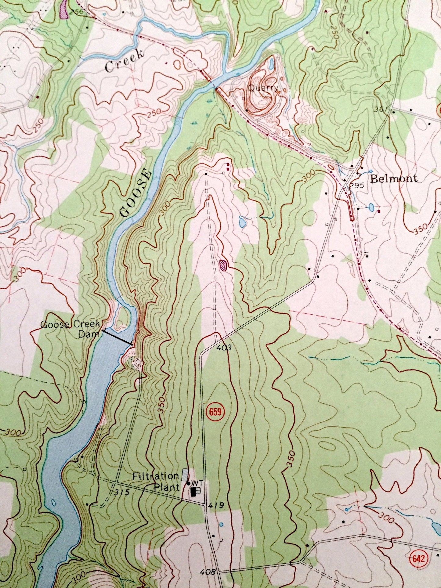
Beautiful, antique map of Leesburg, Virginia and surrounding Maryland and Loudoun County area. This is an authentic 1968 edition, 1973 print from the U.S. Geological Survey and NOT a computer reproduction.
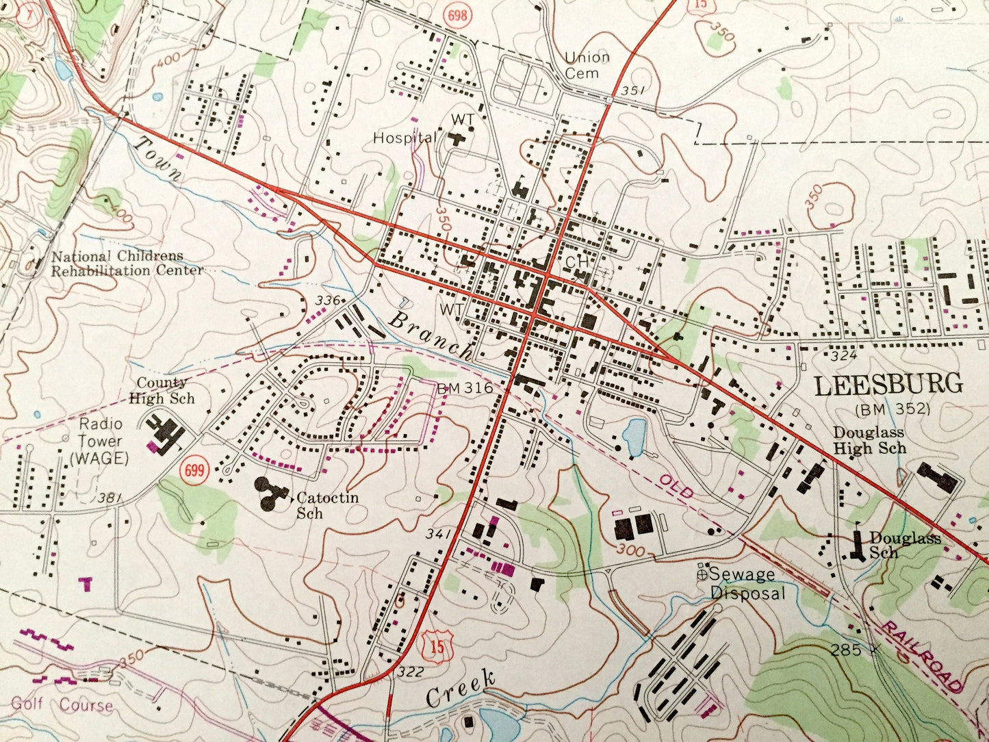
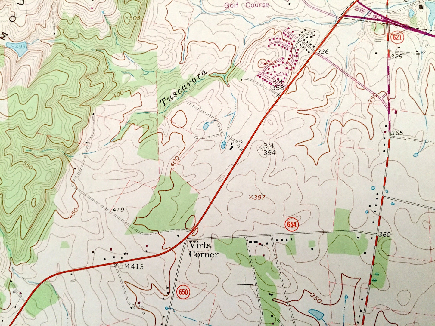
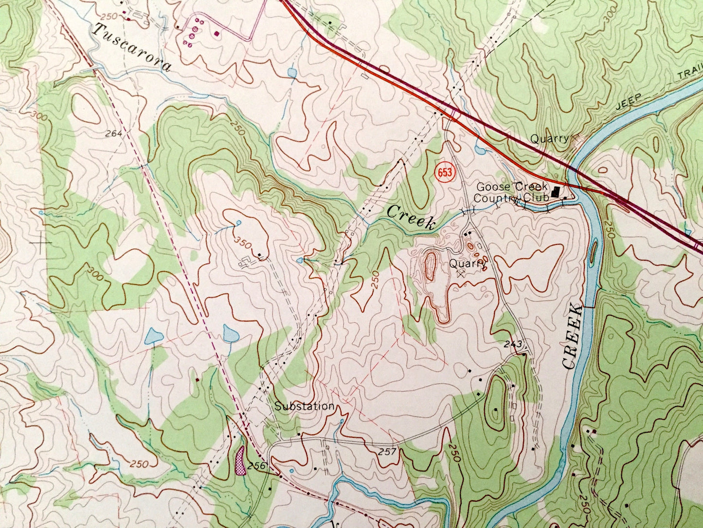
See what Virginia looked like over 50 years ago. Lots of intricate details and geological contours. Map even has little squares for every house that existed at the time. The USGS cartographers were very thorough back then!
Perfect for the historian, map-lover, the curious or just as a conversation starter. Wonderful and rare. Vintage maps such as these make great gifts.
Edition of 1968, printed 1973
Dimensions: 22" width x 27" height
----
Features
Cities & Towns: Leesburg, Woodburn, Mountain Gap, Leedsville, Oatlands, Evergreen Mills, Sycolin, Trap Rock, Lawson, Belmont Park, Waxpool.
Points of Interest: Goose Creek, Little River, Potomac River, Hogback Mountain, Washington & Old Dominion Railroad, Murrays Ford Bridge, and many more hills, streams, ponds, houses, schools, churches and roads.
Condition: Good Vintage condition, commensurate with age. This map is in incredible shape for being over 45 years old. Has some edge-wear and foxing, but this will add to vintage character when framed.
----
We will happily adjust shipping price for multiple purchases. Maps are rolled up and shipped in sturdy mailing tubes, never folded.
Couldn't load pickup availability
Share