My Store
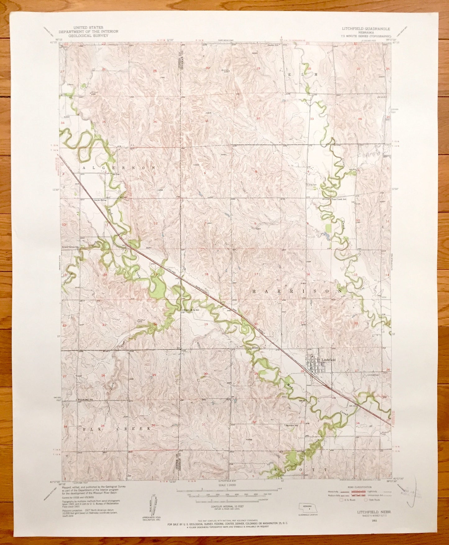
Antique Litchfield, Nebraska 1951 US Geological Survey Topographic Map – Elk Creek, Scott, Harrison, Algernon, Elm, Sherman & Custer County
Antique Litchfield, Nebraska 1951 US Geological Survey Topographic Map – Elk Creek, Scott, Harrison, Algernon, Elm, Sherman & Custer County
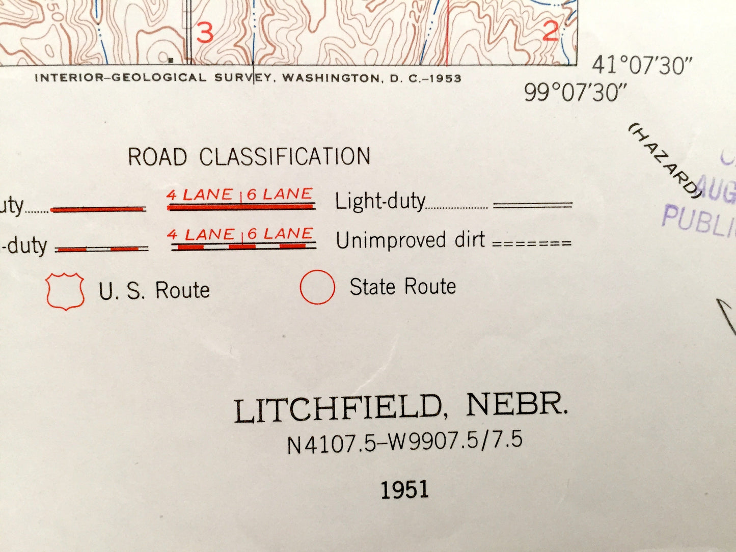
Beautiful, antique map of Litchfield, Harrison, Elm, Elk Creek, and Algernon, Nebraska. This is an authentic 1951 print from the U.S. Geological Survey and NOT a computer reproduction.
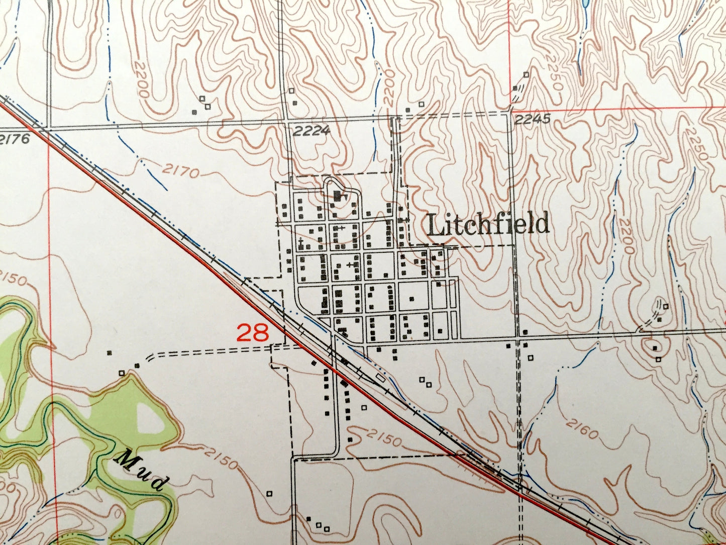
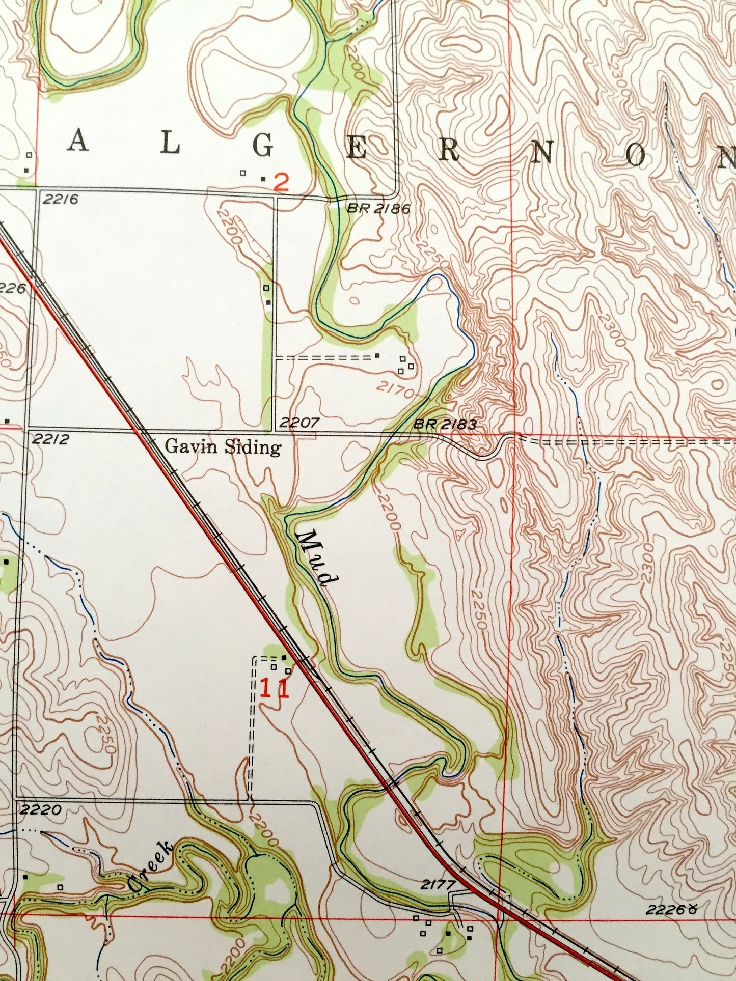
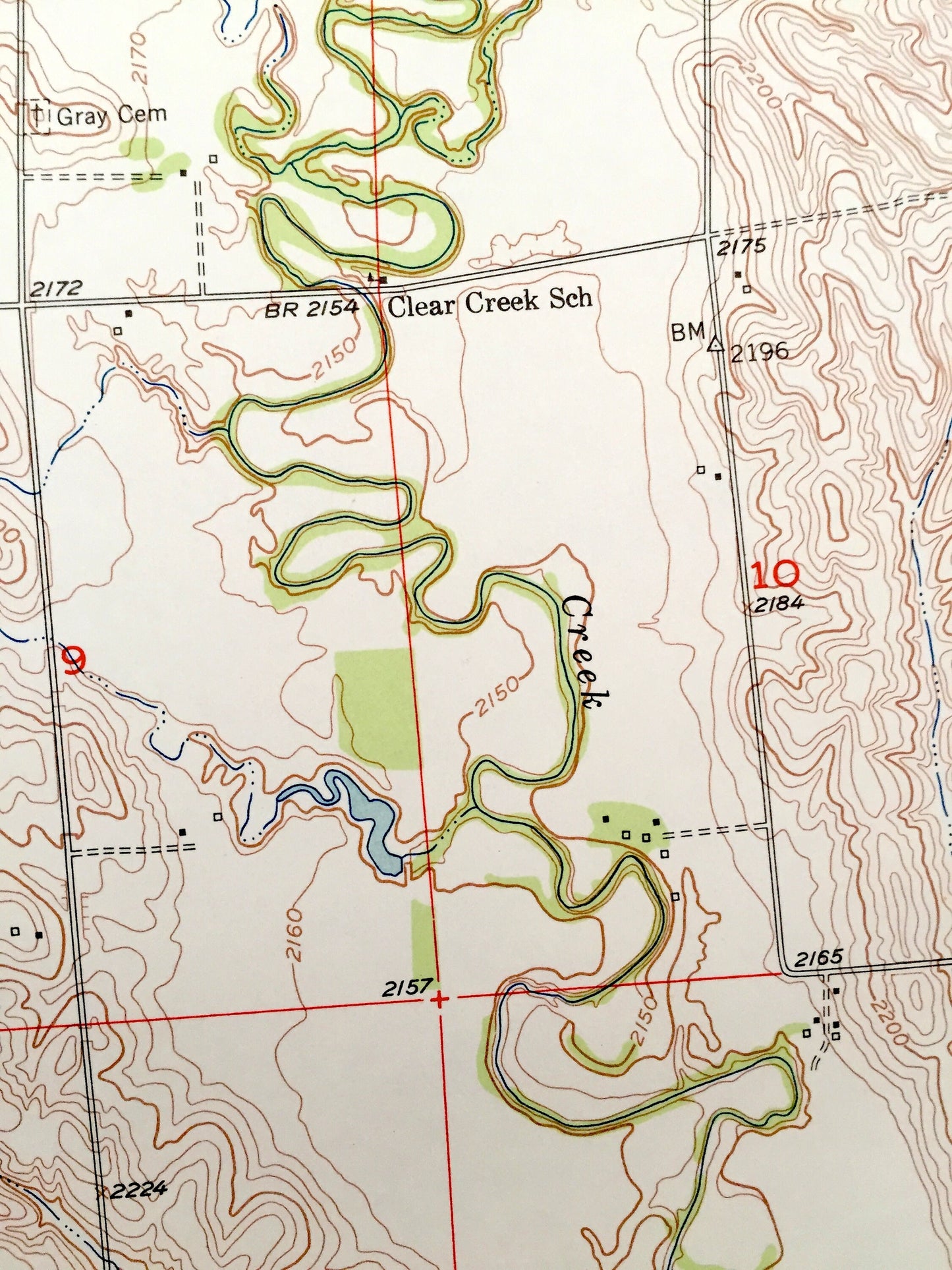
See what Sherman and Custer Counties of Nebraska, looked like over 65 years ago. Lots of intricate details and geological contours. Map even has little squares for every house that existed at the time. The USGS cartographers were very thorough back then!
Perfect for the historian, map-lover, the curious or just as a conversation starter. Wonderful and rare. Vintage maps such as this make great gifts.
Edition of 1951, printed 1951
Dimensions: 22" width x 27" height
----
Features
Cities & Towns: Elm, Litchfield, Harrison, Scott, Elk Creek, Algernon.
Points of Interest: Clear Creek, Oak Creek, Fairview School, Muddy Mills School, Willow Bell School, Gavin Siding, Round Grove School, Chicago Burlington and Quincy Railroad, and many more roads ponds and houses.
Condition: Very Good condition, commensurate with age. This map is in incredible shape for being over 65 years old.
----
We will happily adjust shipping price for multiple purchases. Maps are rolled up and shipped in sturdy mailing tubes, never folded.
Couldn't load pickup availability
Share