My Store
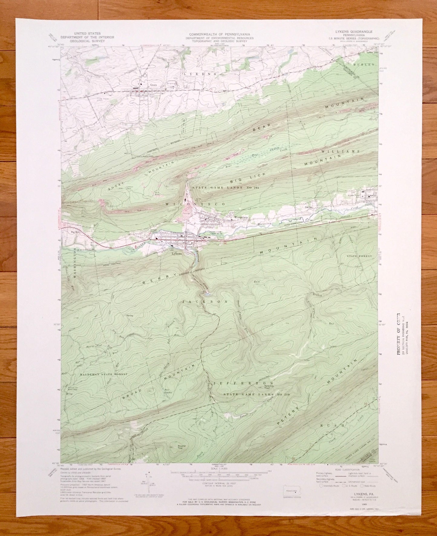
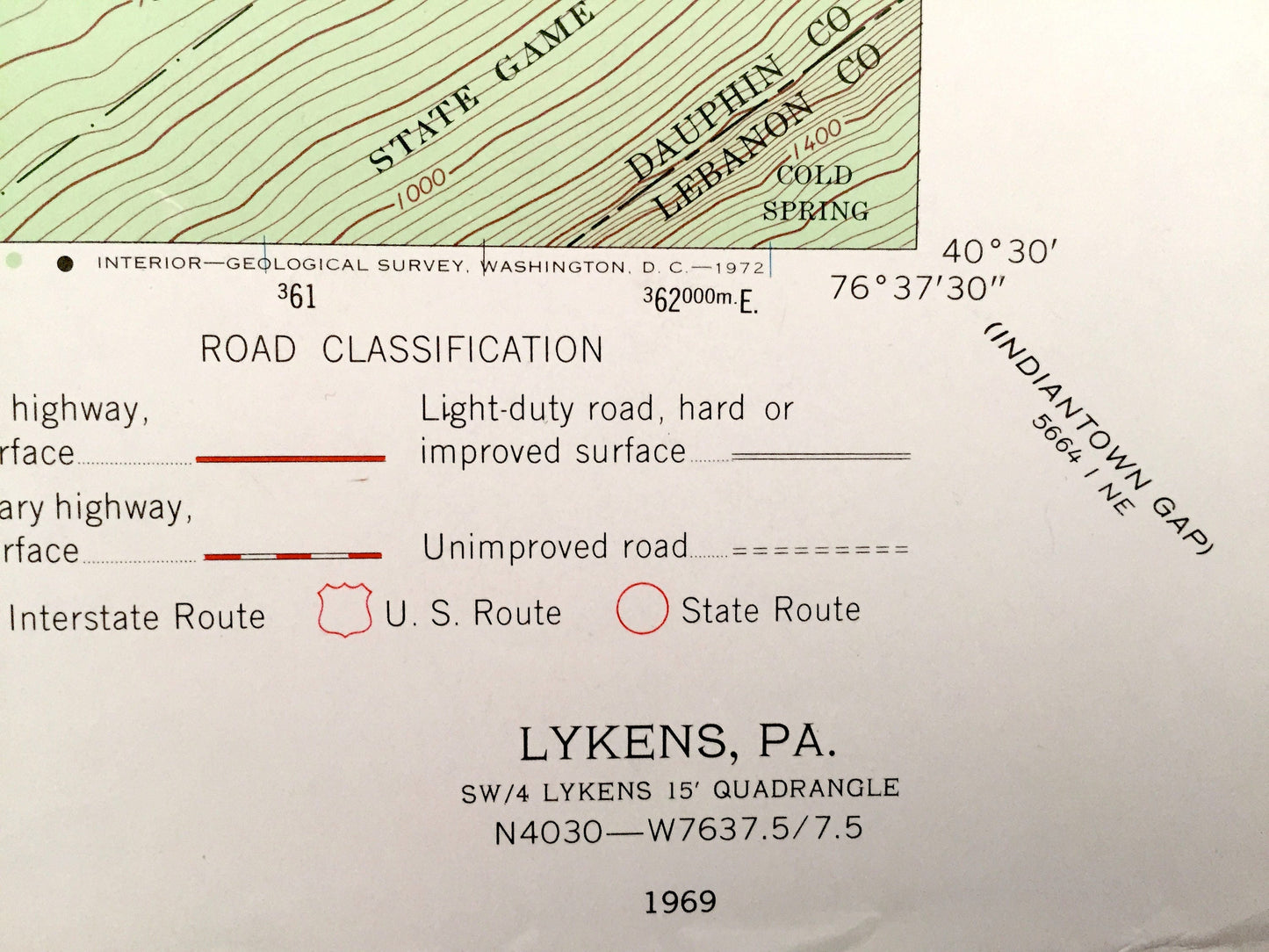
Antique Lykens, Pennsylvania 1969 US Geological Survey Topographic Map – Wiconisco, Jefferson, Gratz, Rush, Haldeman State Forest, Berry Mtn
Antique Lykens, Pennsylvania 1969 US Geological Survey Topographic Map – Wiconisco, Jefferson, Gratz, Rush, Haldeman State Forest, Berry Mtn
Beautiful, antique map of Lykens, Wiconisco, Gratz, and Haldeman State Forest, Pennsylvania. This is an authentic 1969 print from the U.S. Geological Survey and NOT a computer reproduction.
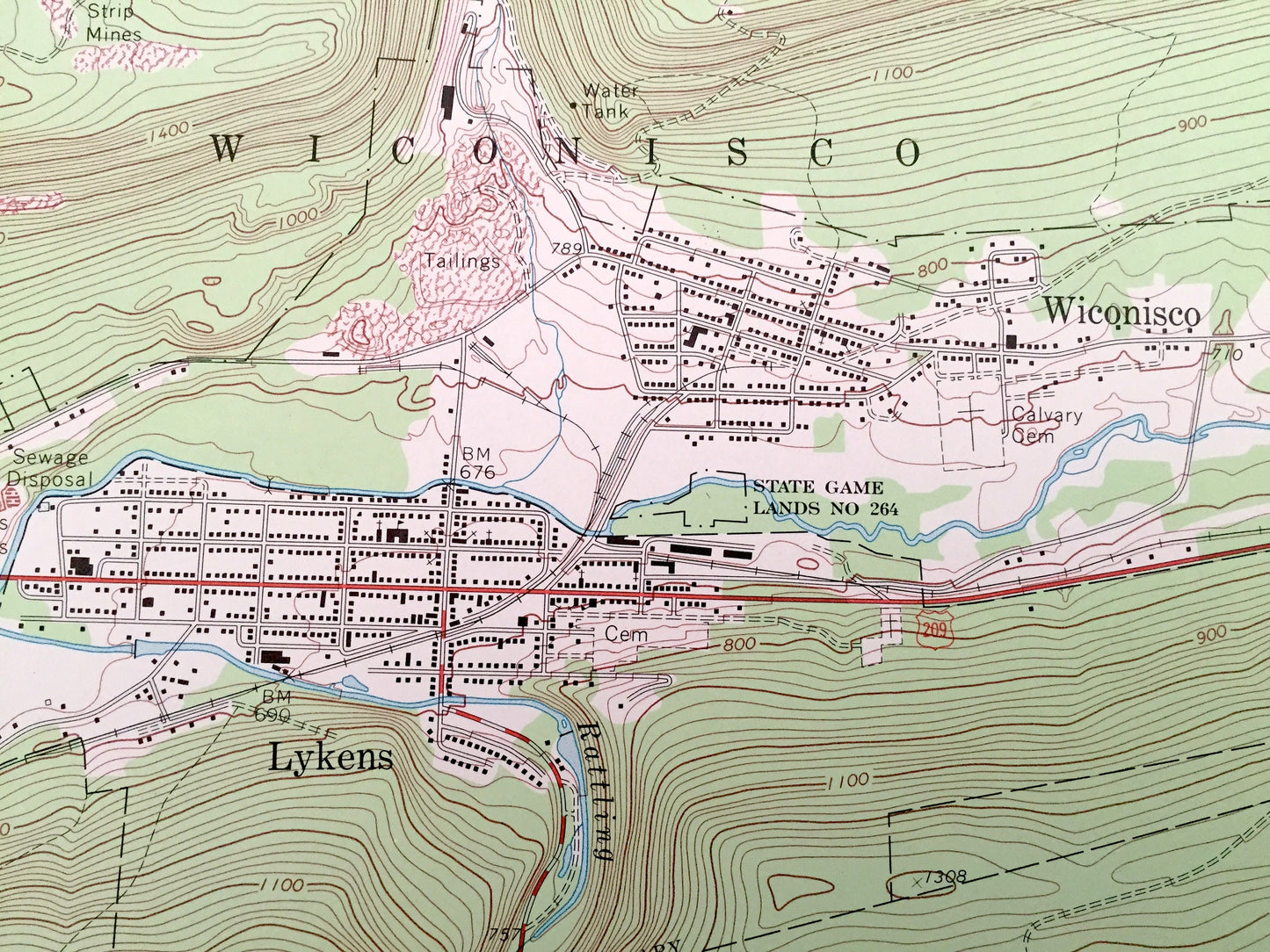
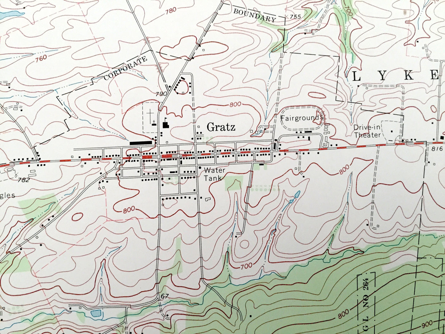
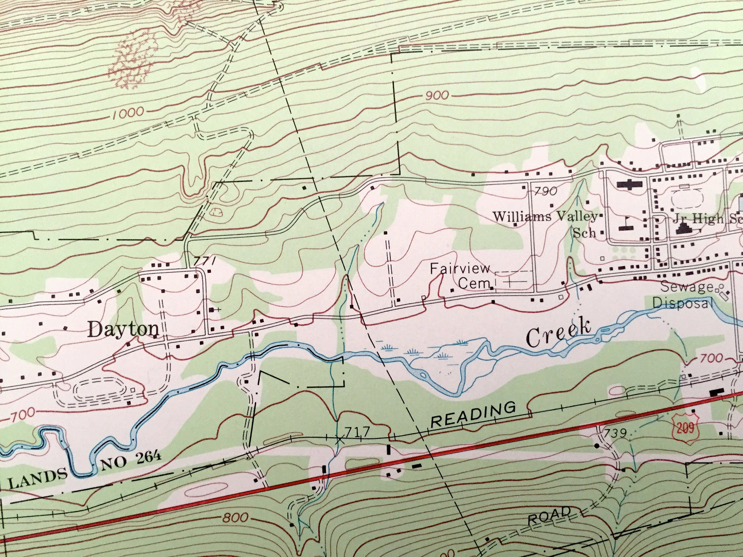
See what Dauphin County of Pennsylvania looked like over 50 years ago. Lots of intricate details and geological contours. Map even has little squares for every house that existed at the time. The USGS cartographers were very thorough back then!
Perfect for the historian, map-lover, the curious or just as a conversation starter. Wonderful and rare. Vintage maps such as these make great gifts.
Edition of 1969, printed 1969
Dimensions: 22" width x 29" height
----
Features
Cities & Towns: Lykens, Wiconisco, Gratz Big Run, Washington, Jackson, Rush, Williams, Hubley.
Points of Interest: Short Mountain, Bear Mountain, State Game Lands, Big Lick Mountain, Berry Mountain, Peters Mountain, Round Top, Haldeman State Forest, Broad Mountain, Penn Central Railroad, Reading Railroad, Bear Swamp, Wisconisco Creek, Flying Eagles Airfield, Drive-in Theater, Bear Puddles, Doc Smith Run, Minnich Hit Picnic Area, and lots more hills, streams, ponds, houses, and roads.
Condition: Good Vintage condition, commensurate with age. This map is in great shape for being over 50 years old. Has light wear, foxing, toning and stamp in margin, all of which will add to character when framed.
----
We will happily adjust shipping price for multiple purchases. Maps are rolled up and shipped in sturdy mailing tubes, never folded.
Couldn't load pickup availability
Share