My Store
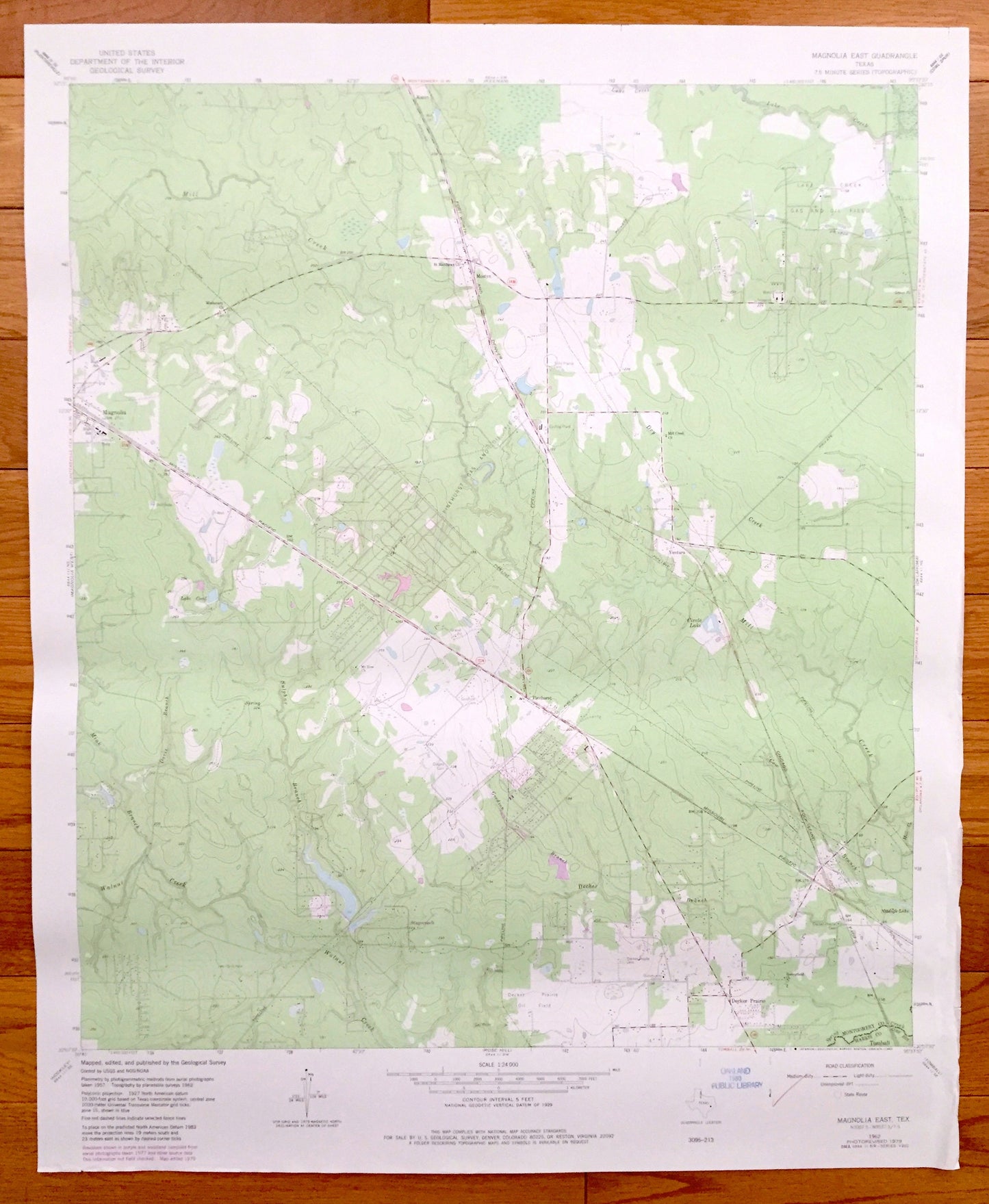
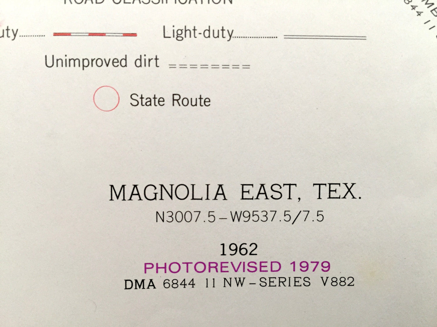
Antique Magnolia East, Texas 1962 US Geological Survey Topographic Map – Decker Prairie, Pinehurst, Mostyn, Ventura, Stagecoach, Karen
Antique Magnolia East, Texas 1962 US Geological Survey Topographic Map – Decker Prairie, Pinehurst, Mostyn, Ventura, Stagecoach, Karen
Beautiful, antique map of Magnolia, Decker Prairie, Pinehurst, Mostyn, Ventura, Stagecoach, and Karen,Texas. This is an authentic 1962 edition, 1979 print from the U.S. Geological Survey and NOT a computer reproduction.
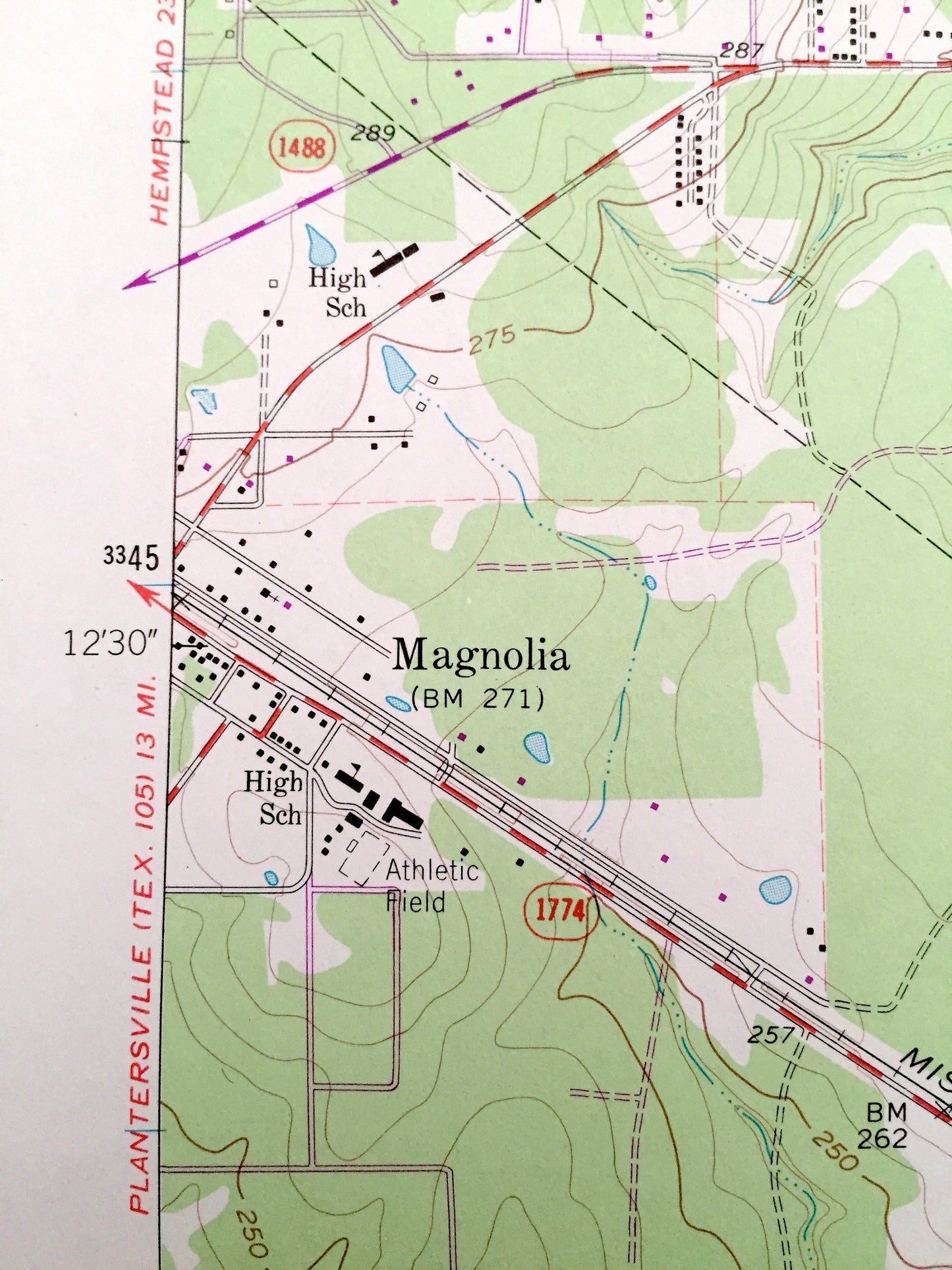
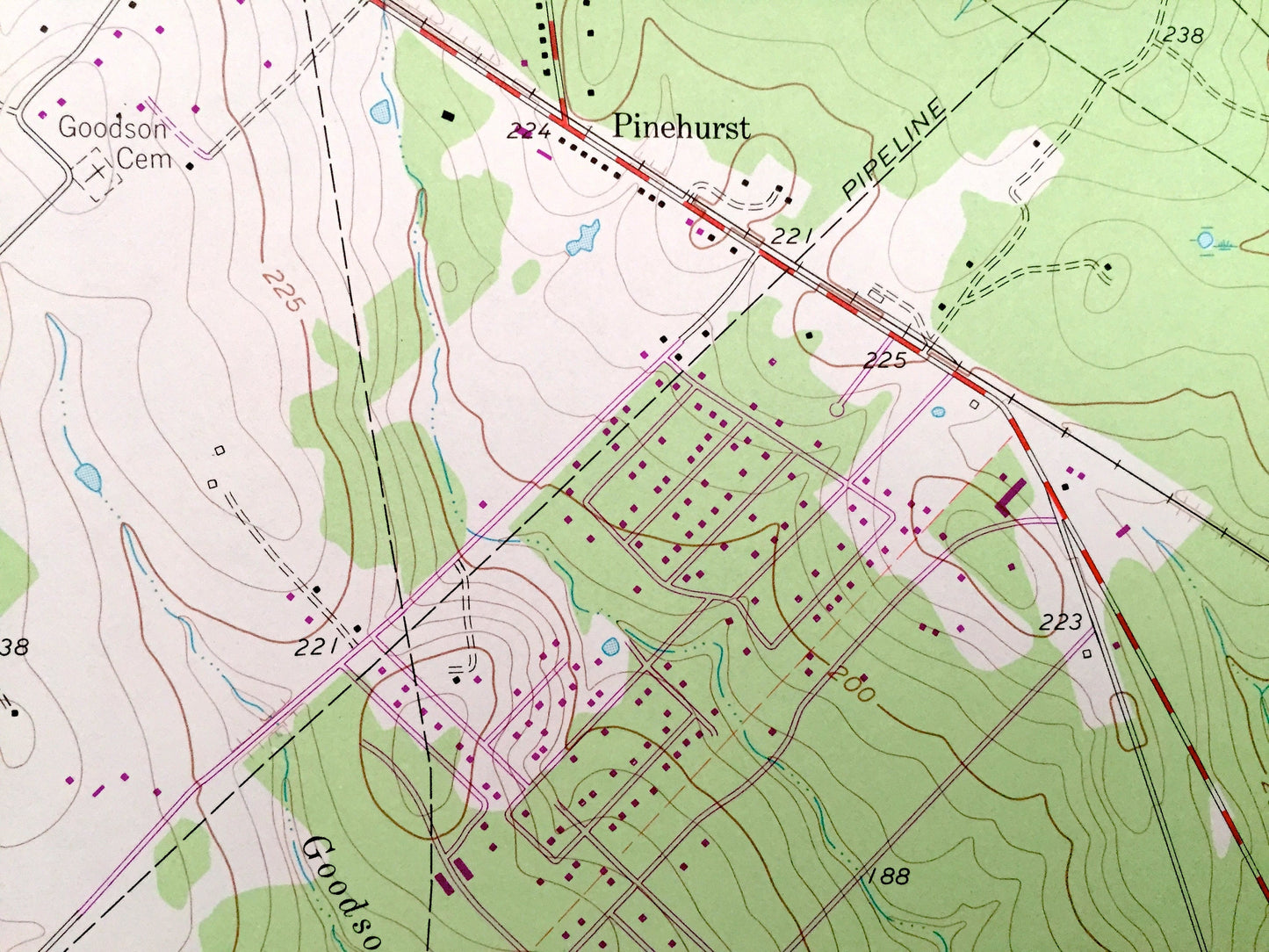
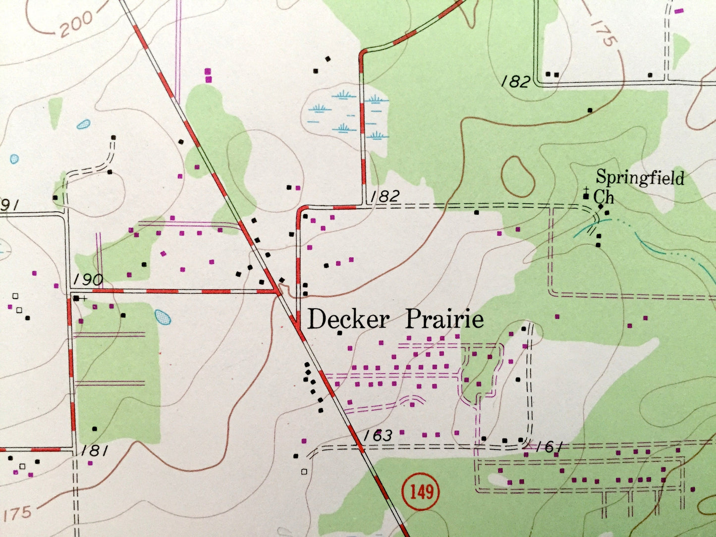
See what Montgomery County of Texas looked like 55 years ago. Lots of intricate details and geological contours. Map even has little squares for every house that existed at the time. The USGS cartographers were very thorough back then!
Perfect for the historian, map-lover, the curious or just as a conversation starter. Wonderful and rare. Vintage maps such as this make great gifts.
Edition of 1962, printed 1979
Dimensions: 22" width x 27" height
----
Features
Cities & Towns: Magnolia, Decker Prairie, Pinehurst, Mostyn, Ventura, Stagecoach, Karen.
Points of Interest: Missouri Pacific Railroad, Fort Worth and Denver Railroad, Chicago Rock Island Pacific Railroad, Circle Lake, Lake Creek Gas and Oil Field, Pinehurst Gas and Oil Field, Magnolia High School, Missionary Church, Pipelines, Lake Cecil, Mt Zion Church, and many more roads, creeks, churches and houses.
Condition: Good condition, commensurate with age. This map is in incredible shape for being almost 40 years old.
----
We will happily adjust shipping price for multiple purchases. Maps are rolled up and shipped in sturdy mailing tubes, never folded.
Couldn't load pickup availability
Share