My Store
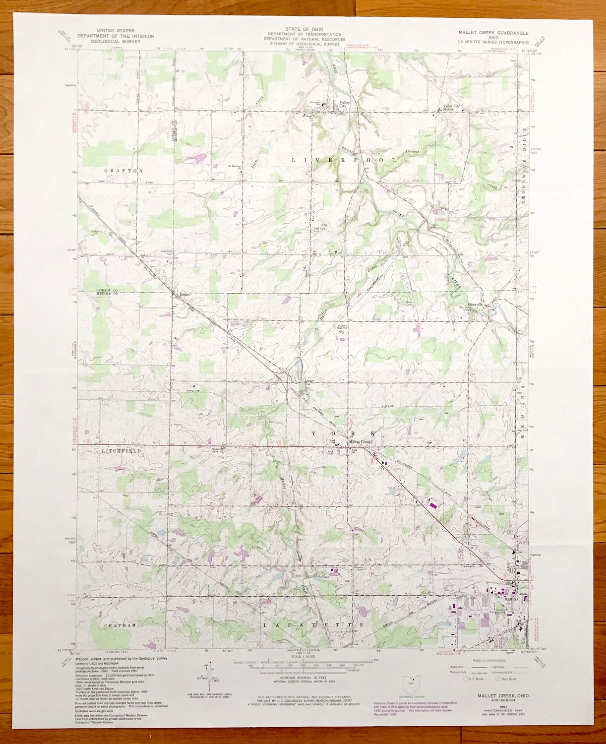
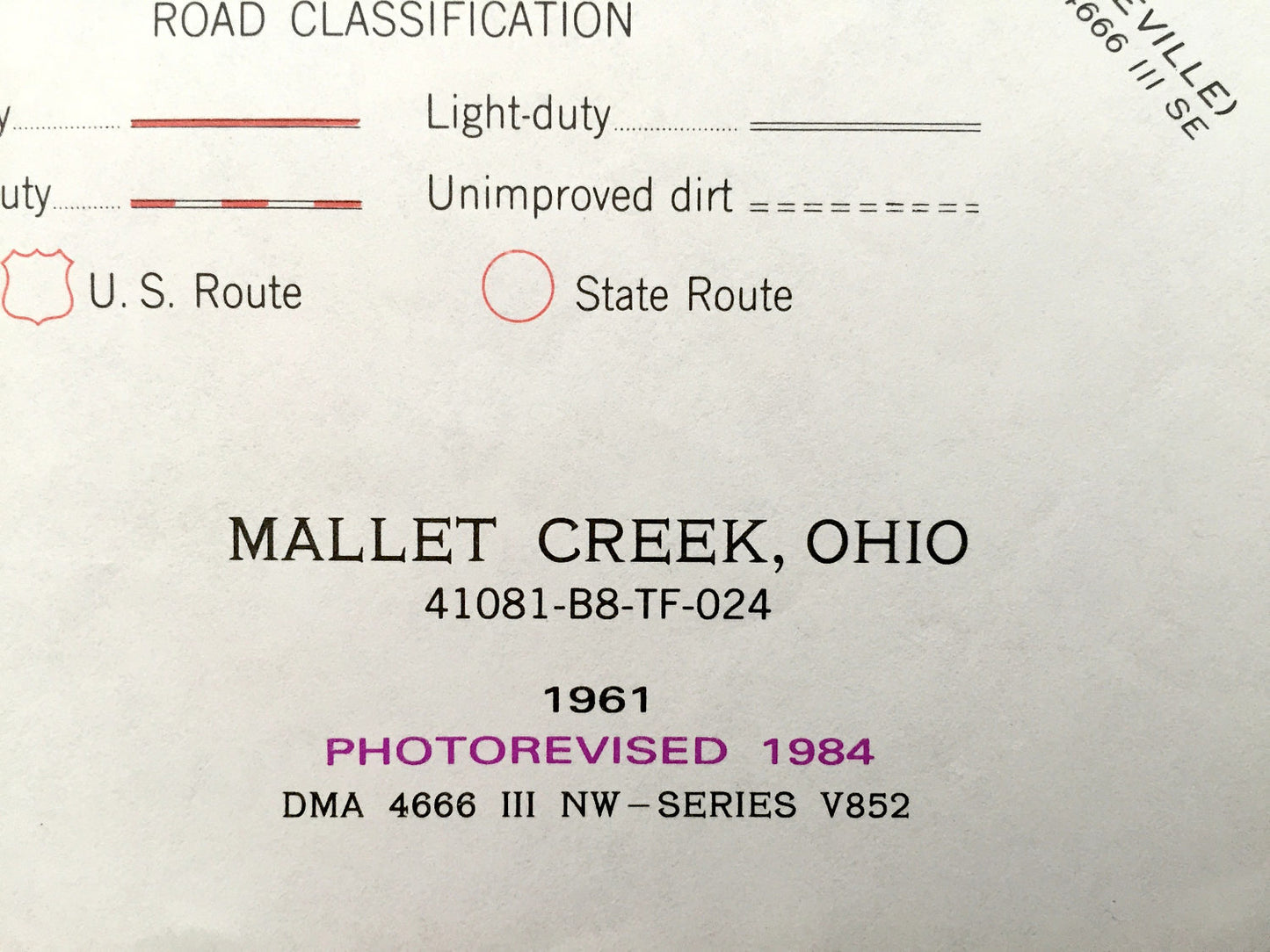
Antique Mallet Creek, Ohio 1961 US Geological Survey Topographic Map – Grafton, Liverpool, Abbeyville, Lafayette, Litchfield, Medina
Antique Mallet Creek, Ohio 1961 US Geological Survey Topographic Map – Grafton, Liverpool, Abbeyville, Lafayette, Litchfield, Medina
Beautiful, antique map of Mallet Creek, Medina, Litchfield, Liverpool, Valley City and Grafton, Ohio. This is an authentic 1984 print of 1961 survey data from the U.S. Geological Survey and NOT a computer reproduction.
See what Lorain and Medina Counties of Ohio looked like over 55 years years ago. Lots of intricate details and geological contours. Map even has little squares for every house that existed at the time. The USGS cartographers were very thorough back then!
Perfect for the historian, map-lover, the curious or just as a conversation starter. Wonderful and rare. Vintage maps such as these make great gifts.
Edition of 1961, printed 1984
Dimensions: 22" width x 27" height
----
Features
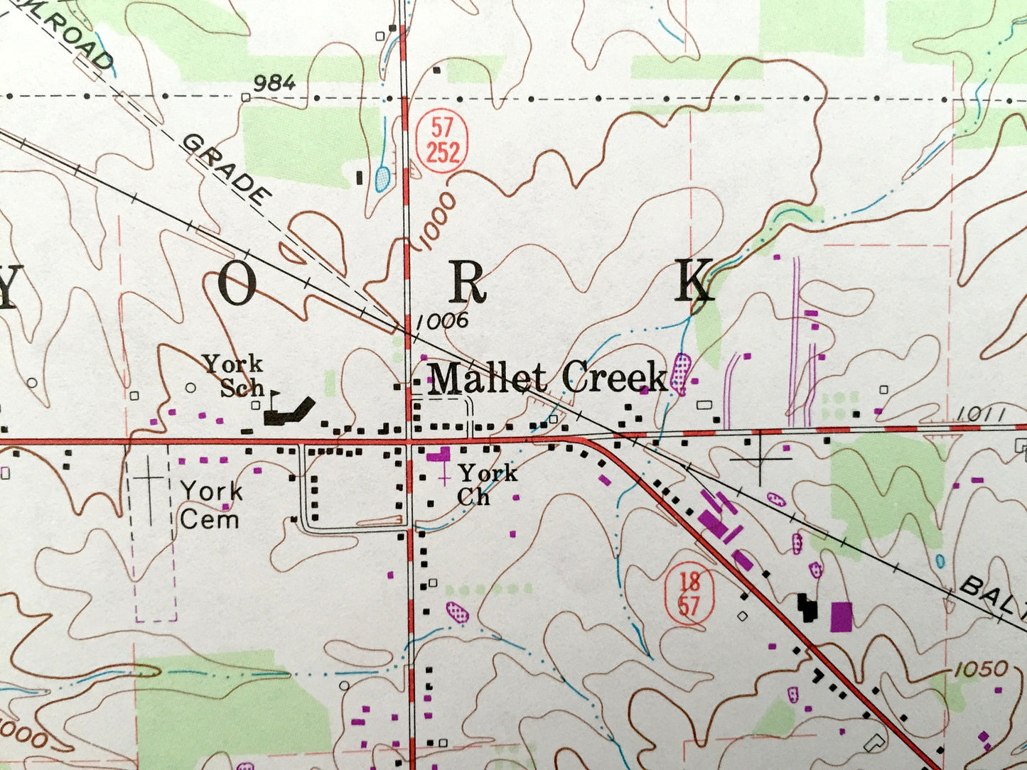
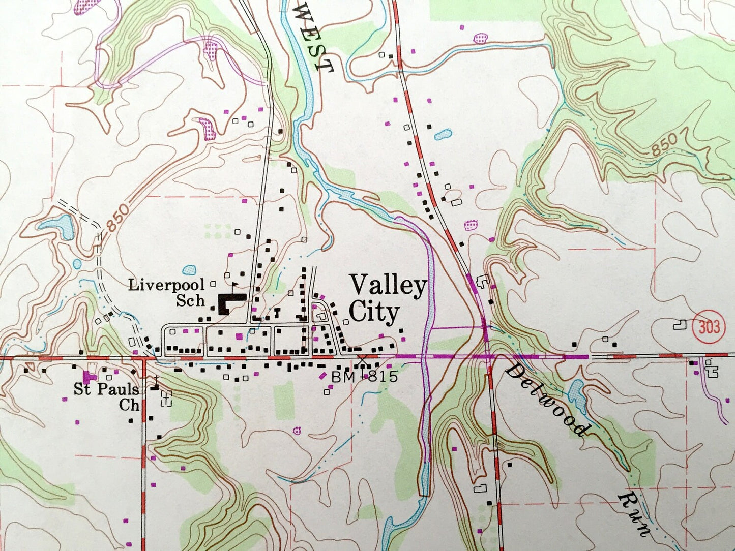
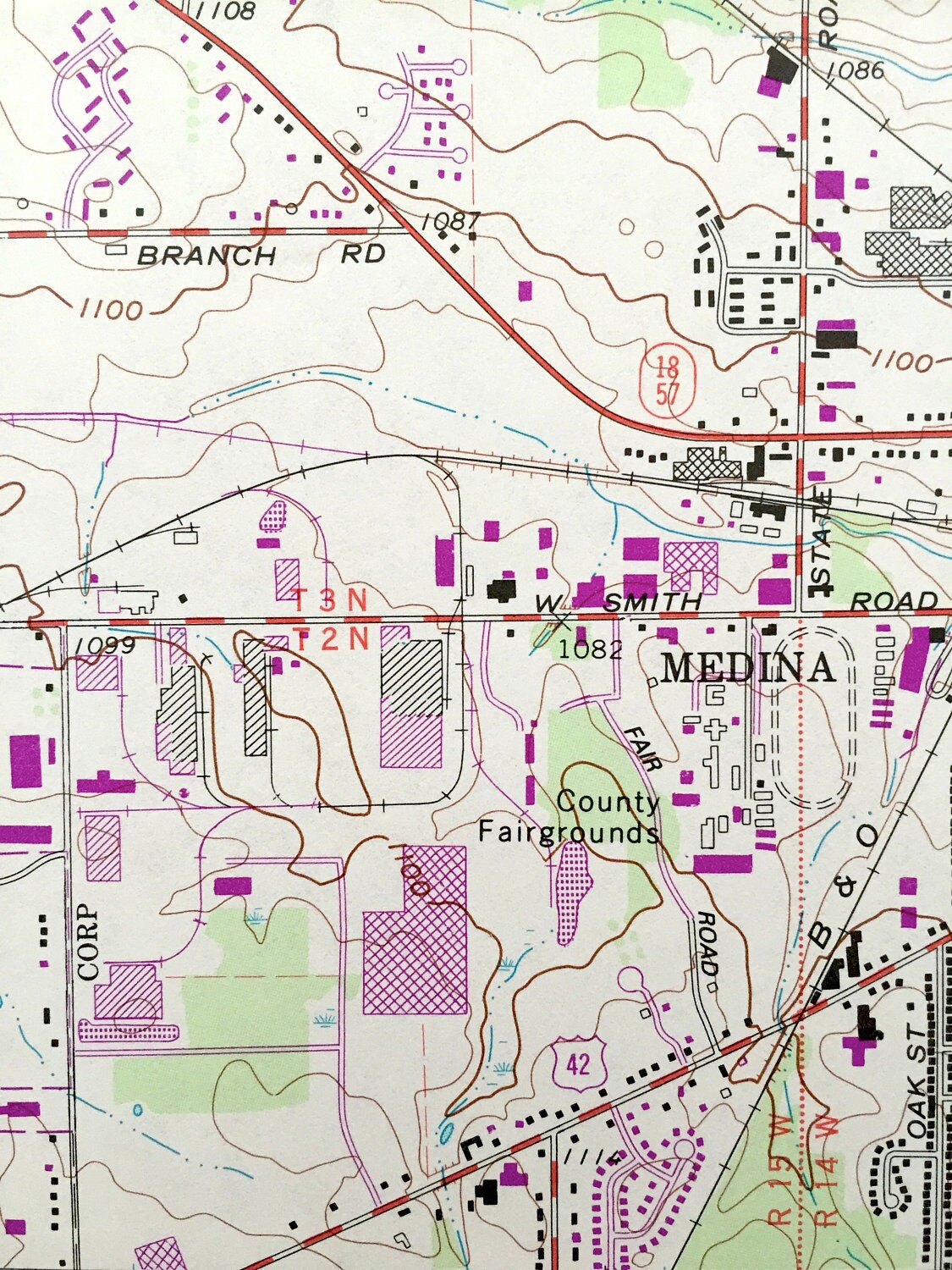
Cities & Towns: Grafton, Litchfield, Chatham, Lafayette, Medina, Mallet Creek, Lester Liverpool, Valley City, Abbeyville, York.
Points of Interest: Plum creek, Baltimore and Ohio Railroad, Valley City Station, Rocky River, Abbeyville Boy Scout Camp, Medina County Fairgrounds, Roadside Park, Buckeye High School, St. Martins Church and lots more hills, streams, ponds, houses, schools and roads.
Condition: Very Good condition, commensurate with age. This map is in incredible shape for being over 30 years old.
----
We will happily adjust shipping price for multiple purchases. Maps are rolled up and shipped in sturdy mailing tubes, never folded.
Couldn't load pickup availability
Share