My Store
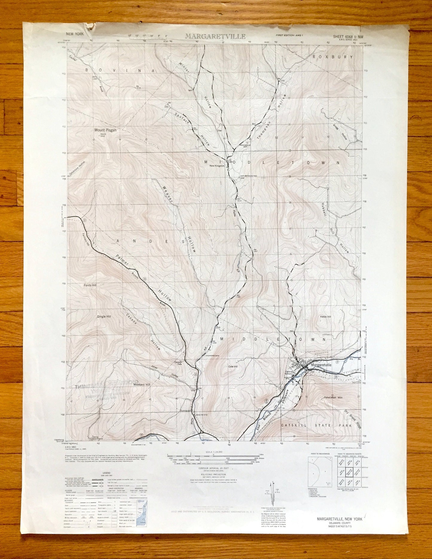
Antique Margaretville, New York 1946 US Geological Survey Topographic Map – Delaware County, Catskills State Park, Middletown, Bovina, NY
Antique Margaretville, New York 1946 US Geological Survey Topographic Map – Delaware County, Catskills State Park, Middletown, Bovina, NY
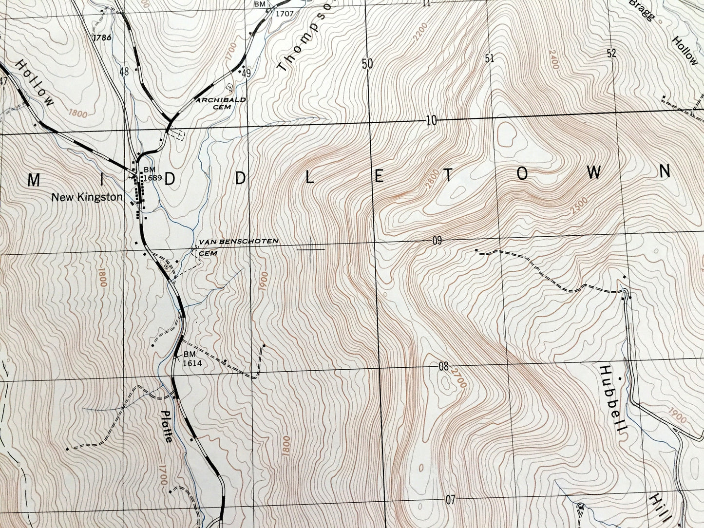
Beautiful, antique map of Margaretville, New York and surrounding Delaware County area. This is an authentic 1946 print from the U.S. Geological Survey and NOT a computer reproduction.
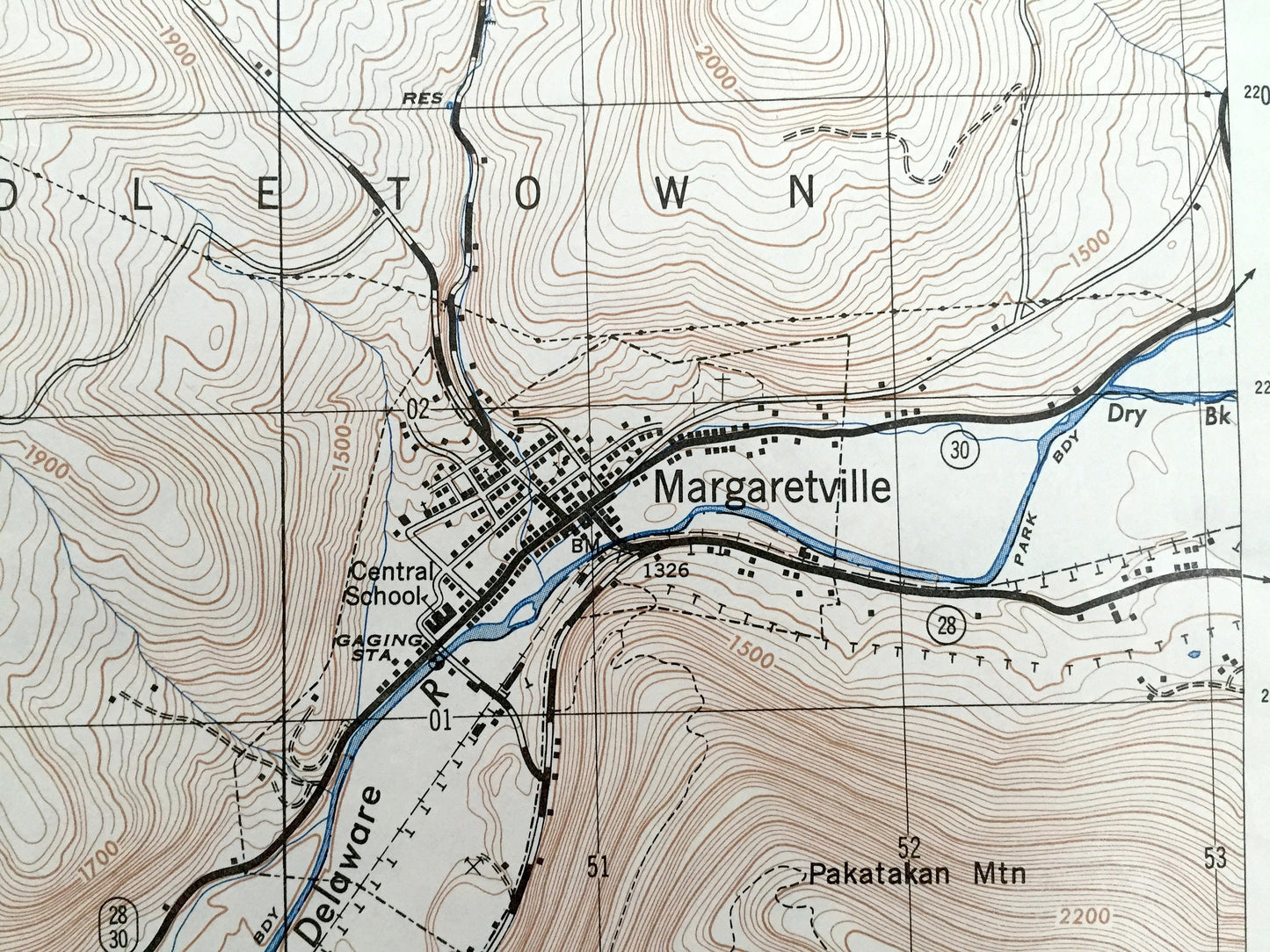
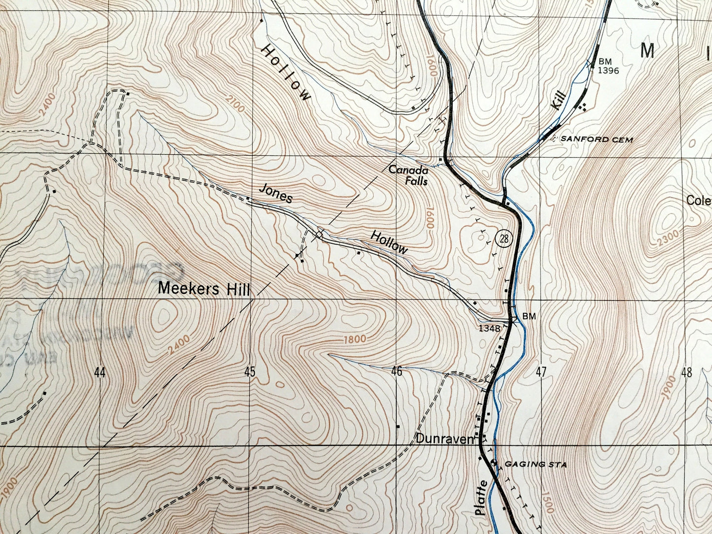
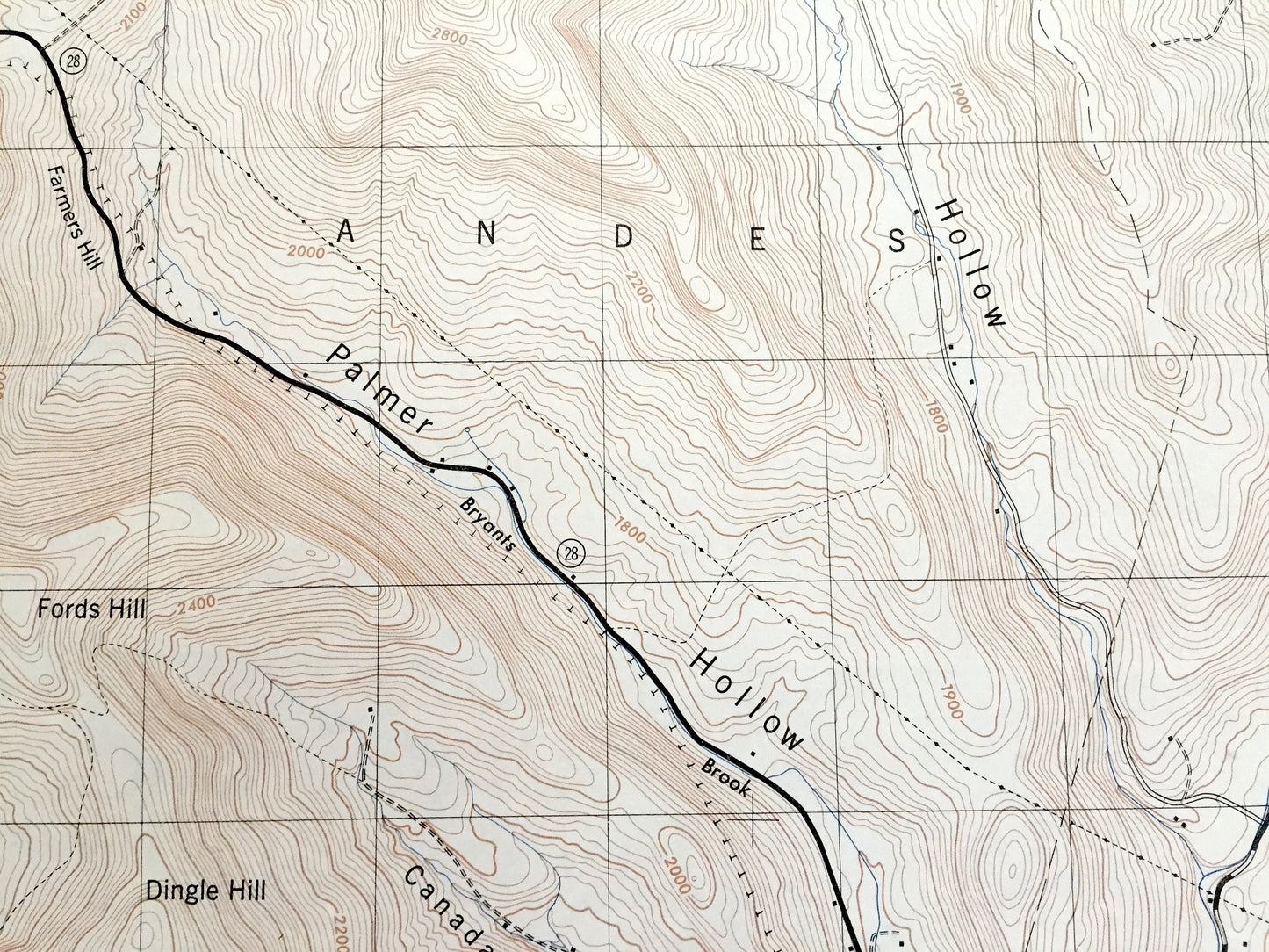
See what New York looked like over 75 years ago. Lots of intricate details and geological contours. Map even has little squares for every house that existed at the time. The USGS cartographers were very thorough back then!
Perfect for the historian, map-lover, the curious or just as a conversation starter. Wonderful and rare. Vintage maps such as these make great gifts.
Edition of 1946, printed 1946
Dimensions: 22" width x 29" height
----
Features
Cities & Towns: Margaretville, Bovina, Roxbury, Middletown, Andes, New Kingston, Dunraven.
Points of Interest: Delaware County, Catskill State Park, Mount Pisgah, Platte Kill, Meekers Hill, Cole Hill, East Branch Delaware River, Kettle Hill, Pakatakan Mountain, Dingle Hill, Fords Hill, and many more towns, ponds, hills, mountains, creeks, hollows, houses, and roads.
Condition: Good or "Very Vintage" condition, commensurate with age. This map is in great shape for being over 75 years old. Has some edge-wear, stamp on reverse side and toning but this will add to vintage character when framed.
----
We will happily adjust shipping price for multiple purchases. Maps are rolled up and shipped in sturdy mailing tubes, never folded.
Couldn't load pickup availability
Share