My Store
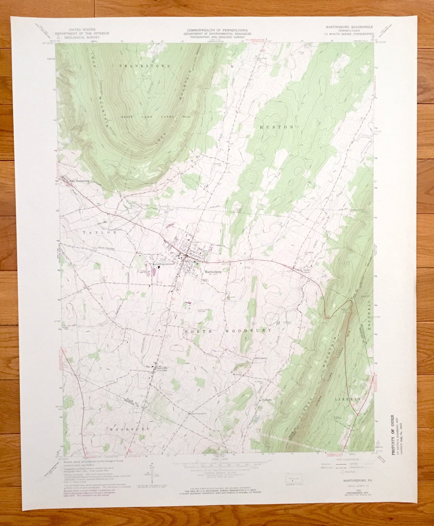
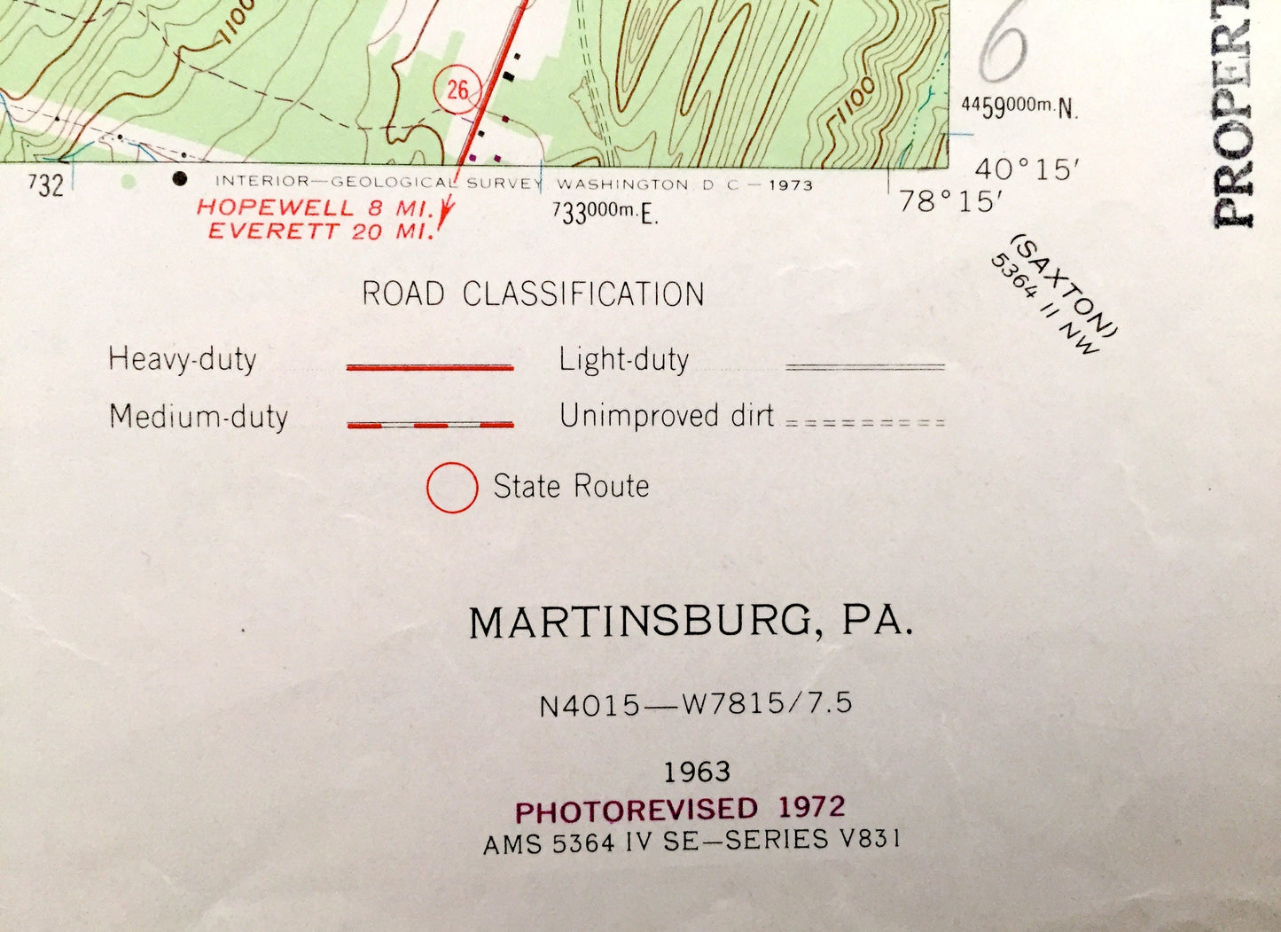
Antique Martinsburg, Pennsylvania 1963 US Geological Survey Topographic Map – Blair, Bedford County, Curryville, Huston, Millerstown, PA
Antique Martinsburg, Pennsylvania 1963 US Geological Survey Topographic Map – Blair, Bedford County, Curryville, Huston, Millerstown, PA
Beautiful, antique map of Martinsburg, Pennsylvania and surrounding Blair & Bedford County area. This is an authentic 1963 edition, 1972 print from the U.S. Geological Survey and NOT a computer reproduction.
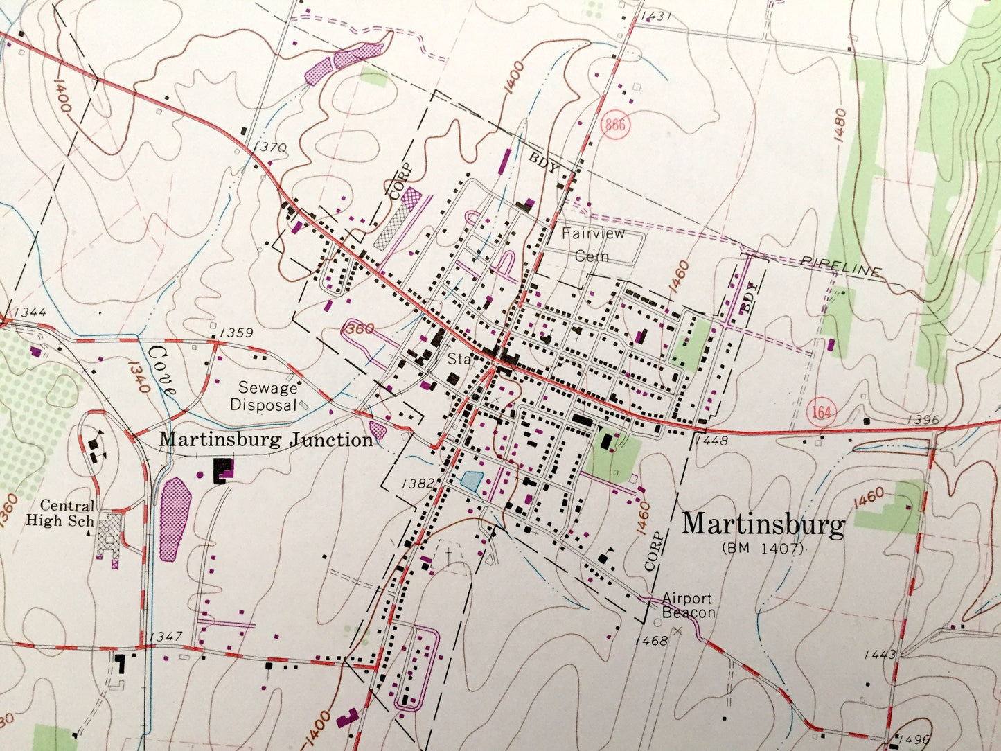
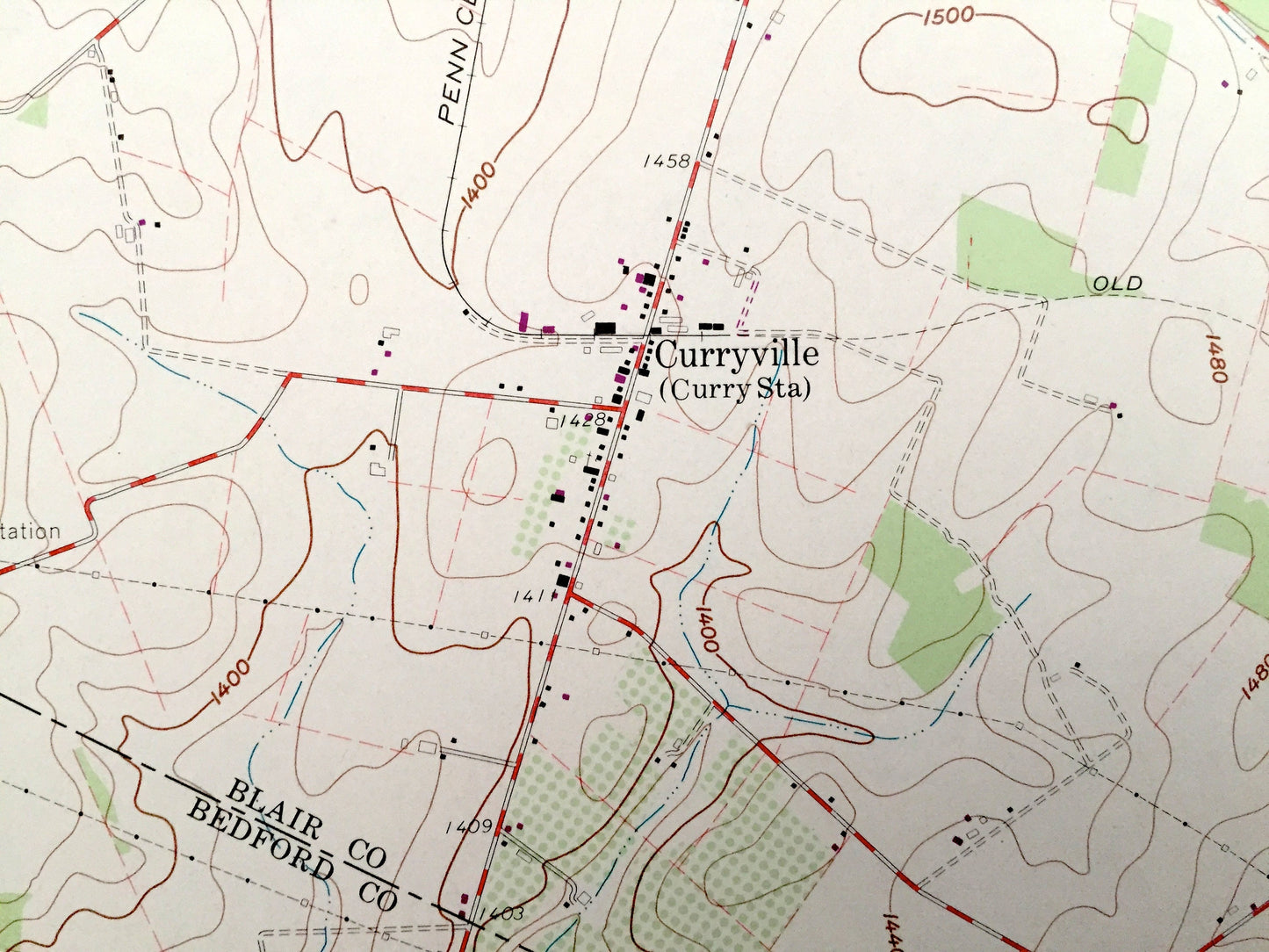
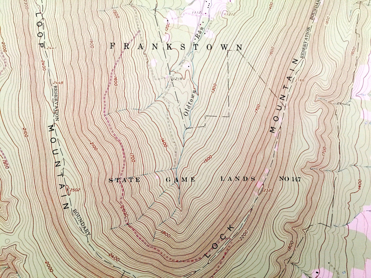
See what Pennsylvania looked like 60 years ago. Lots of intricate details and geological contours. Map even has little squares for every house that existed at the time. The USGS cartographers were very thorough back then!
Perfect for the historian, map-lover, the curious or just as a conversation starter. Wonderful and rare. Vintage maps such as these make great gifts.
Edition of 1963, printed 1972
Dimensions: 22" width x 27" height
----
Features
Cities & Towns: Martinsburg, East Sharpsburg, Martinsburg Junction, Curryville, Henrietta, Millerstown, Clover Creek, Woodbury, North Woodbury, Taylor, Frankstown, Huston, Hopewell, Liberty.
Points of Interest: Tussey Mountain, Loop Mountain, Lock Mountain, State Game Lands, Piney Creek, Penn Central Railroad, Lookout Tower, Clover Creek, Blair County Airport, Radio Tower, and many more hills, streams, ponds, houses, schools, churches and roads.
Condition: Very Good condition, commensurate with age. This map is in great shape for being over 50 years old. This map was most likely used in the field. Has light-edge wear and pencil markings, but this will read as vintage character when framed.
----
We will happily adjust shipping price for multiple purchases. Maps are rolled up and shipped in sturdy mailing tubes, never folded.
Couldn't load pickup availability
Share